Holywell

Bay in Pembrokeshire

Wales

Holywell

Mill Haven
Mill Haven Credit: Deborah Tilley

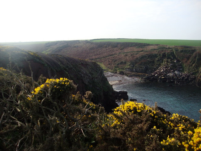
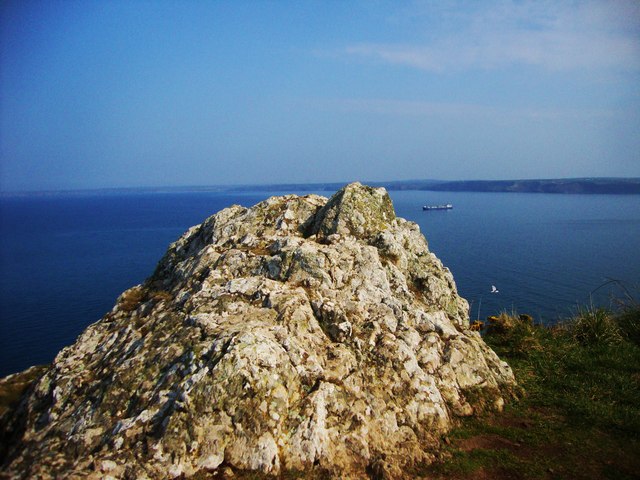
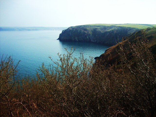
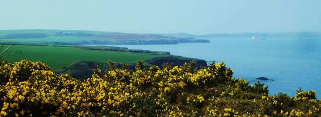
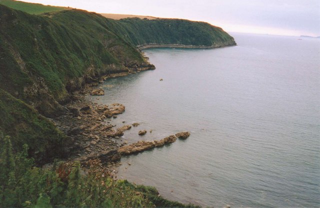
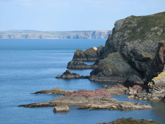
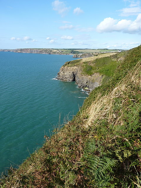
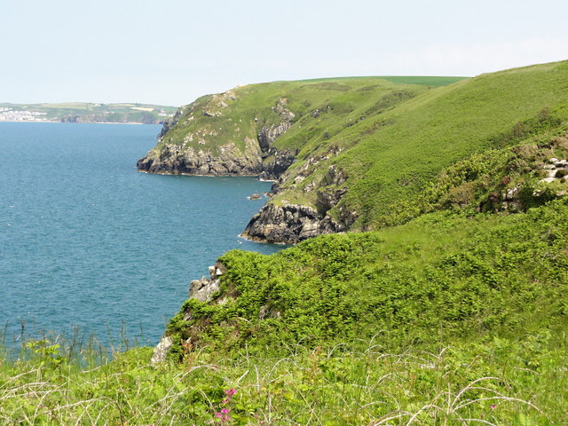
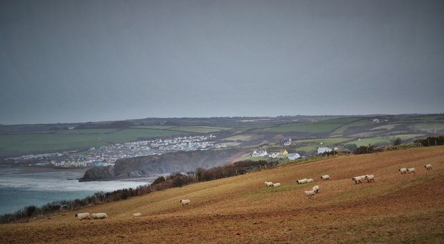
Holywell Bay is a picturesque cove located on the western coast of Pembrokeshire in Wales. Known for its stunning natural beauty, Holywell Bay is a popular destination for both locals and tourists alike. The bay is surrounded by towering cliffs and golden sand dunes, creating a serene and tranquil atmosphere.

The beach at Holywell Bay is known for its pristine waters and excellent surfing conditions, making it a favorite spot for water sports enthusiasts. The bay is also home to a variety of wildlife, including seabirds and seals, adding to the area's natural charm.

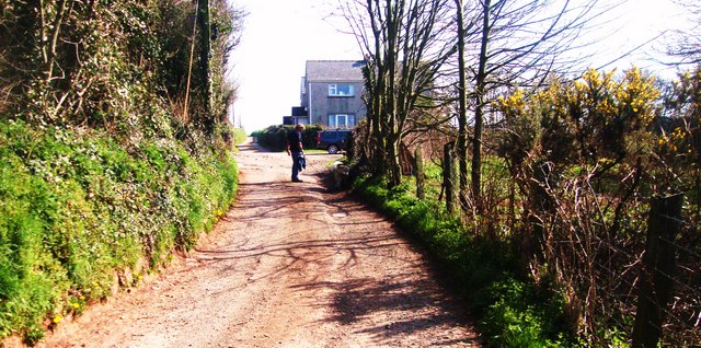
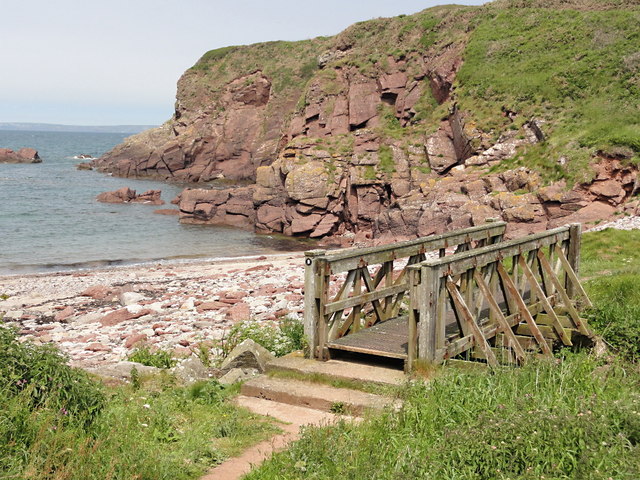
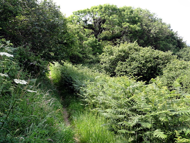
Visitors to Holywell Bay can explore the surrounding coastal paths, take a dip in the clear waters, or simply relax on the sandy beach. The nearby village of Holywell offers a range of amenities, including cafes, restaurants, and shops, making it easy for visitors to enjoy a day out by the sea.

Overall, Holywell Bay is a stunning coastal destination that offers a perfect blend of natural beauty and outdoor activities for those looking to escape and unwind in a peaceful setting.

If you have any feedback on the listing, please let us know in the comments section below.
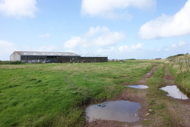
Holywell Images

Images are sourced within 2km of 51.770389/-5.1405491 or Grid Reference SM8312. Thanks to Geograph Open Source API. All images are credited.

Mill Haven
Mill Haven
Rocky outcrop at Ticklas Point Looking over the bay towards Broad Haven and Nolton Haven.
Rocky outcrop at Ticklas Point
Looking over the bay towards Broad Haven and Nolton Haven.
Looking to Borough Head Viewed across the cove known as Holywell.
Looking to Borough Head
Viewed across the cove known as Holywell.
Lane to Broadmoor Farm
View to Nab Head Looking across the bay to Huntsmans Leap and the tip of Nab Head, an important Mesolithic flint working site (which was considerably inland during that era). Seen from the path above Mill Haven.
View to Nab Head
Looking across the bay to Huntsmans Leap and the tip of Nab Head, an important Mesolithic flint working site (which was considerably inland during that era). Seen from the path above Mill Haven.
Coastline at Little Haven
Pembrokeshire coast near Mill Haven
St Mary's Church, Talbenny The parish church of Talbenny is surrounded by fields on the cliff top between the village and Little Haven.
St Mary's Church, Talbenny
The parish church of Talbenny is surrounded by fields on the cliff top between the village and Little Haven.
Upper Talbenny Farm
Upper Talbenny Farm
Barns undergoing conversion at Talbenny Hall Farm Looking south along the Dale road towards South Hill.
Barns undergoing conversion at Talbenny Hall Farm
Looking south along the Dale road towards South Hill.
Barns on the site of RAF Talbenny The RAF station on the flat coastal fields west of Talbenny was operational from 1942 to 1946.
Barns on the site of RAF Talbenny
The RAF station on the flat coastal fields west of Talbenny was operational from 1942 to 1946.
NE along the coast to Falling Cliff Steep hillside by the Wales Coastal Path gives way, rather suddenly, to vertical rock. No place to wander off piste.
NE along the coast to Falling Cliff
Steep hillside by the Wales Coastal Path gives way, rather suddenly, to vertical rock. No place to wander off piste.
Mill Haven An empty pebble beach flanked by red sandstone cliffs.
Mill Haven
An empty pebble beach flanked by red sandstone cliffs.
Looking Towards Ticklas Point A view of the coastal slope looking east towards the buttress of Ticklas Point.
Looking Towards Ticklas Point
A view of the coastal slope looking east towards the buttress of Ticklas Point.
The Coast Path to Borough Head Nice level walking on the approach to Borough Head.
The Coast Path to Borough Head
Nice level walking on the approach to Borough Head.
A Woodland Clearing on the Coast Path West of Little Haven the coast path runs through extensive woodland on the steep coastal slope.
A Woodland Clearing on the Coast Path
West of Little Haven the coast path runs through extensive woodland on the steep coastal slope.
Church at Talbenny Looking west
Church at Talbenny
Looking west
Sheep on a Mission. At Talbenny Broad Haven and Little Haven are in the distance
Sheep on a Mission. At Talbenny
Broad Haven and Little Haven are in the distance
Show me another place!

Holywell is located at Grid Ref: SM8312 (Lat: 51.770389, Lng: -5.1405491)

Unitary Authority: Pembrokeshire

Police Authority: Dyfed Powys

What 3 Words

///movies.shepherds.sheets. Near Broad Haven, Pembrokeshire

Nearby Locations

Borough Head Holywell

Related Wikis

RAF Talbenny

Royal Air Force Talbenny, or more simply RAF Talbenny, is a former Royal Air Force station located 5.6 miles (9.0 km) north west of Milford Haven, Pembrokeshire...

Little and Broad Haven Lifeboat Station

Little and Broad Haven Lifeboat Station is a Royal National Lifeboat Institution (RNLI) lifeboat station in Pembrokeshire, West Wales. The station was...

Little Haven

Little Haven (Welsh: Hafan Fach) is a village at the south-east corner of St Bride's Bay, Pembrokeshire, Wales. It is in the Pembrokeshire Coast National...

Broad Haven

Broad Haven (Welsh: Aberllydan) is a village and seaside resort in the south east corner of St Bride's Bay at the western terminus of the B4341 road in...

Have you been to Holywell?

Leave your review of Holywell below (or comments, questions and feedback).