Beagles Point
Coastal Feature, Headland, Point in Cornwall
England
Beagles Point

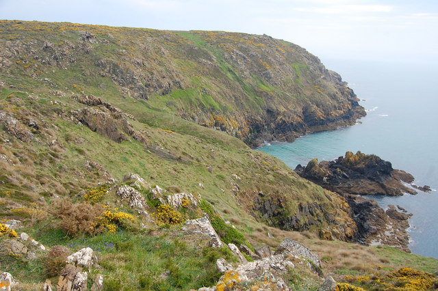
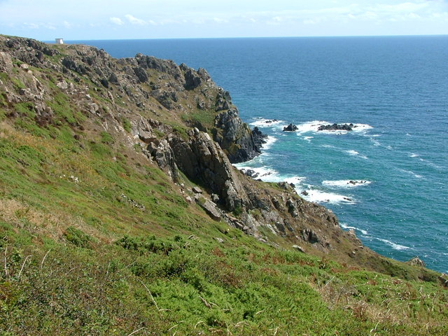
Beagles Point is a prominent headland located in Cornwall, a county in the southwestern part of England. Situated along the stunning coastline, it is situated approximately five miles west of the popular tourist town of Newquay. This rugged and picturesque headland is a significant coastal feature known for its natural beauty and breathtaking views.
With its strategic location on the Atlantic Ocean, Beagles Point offers visitors a chance to experience the raw power and beauty of the sea. The headland juts out into the ocean, providing an unobstructed view of the crashing waves and dramatic cliffs that characterize this stretch of coastline. The point is also home to a variety of marine wildlife, including seals, dolphins, and seabirds, making it a popular spot for nature enthusiasts and birdwatchers.
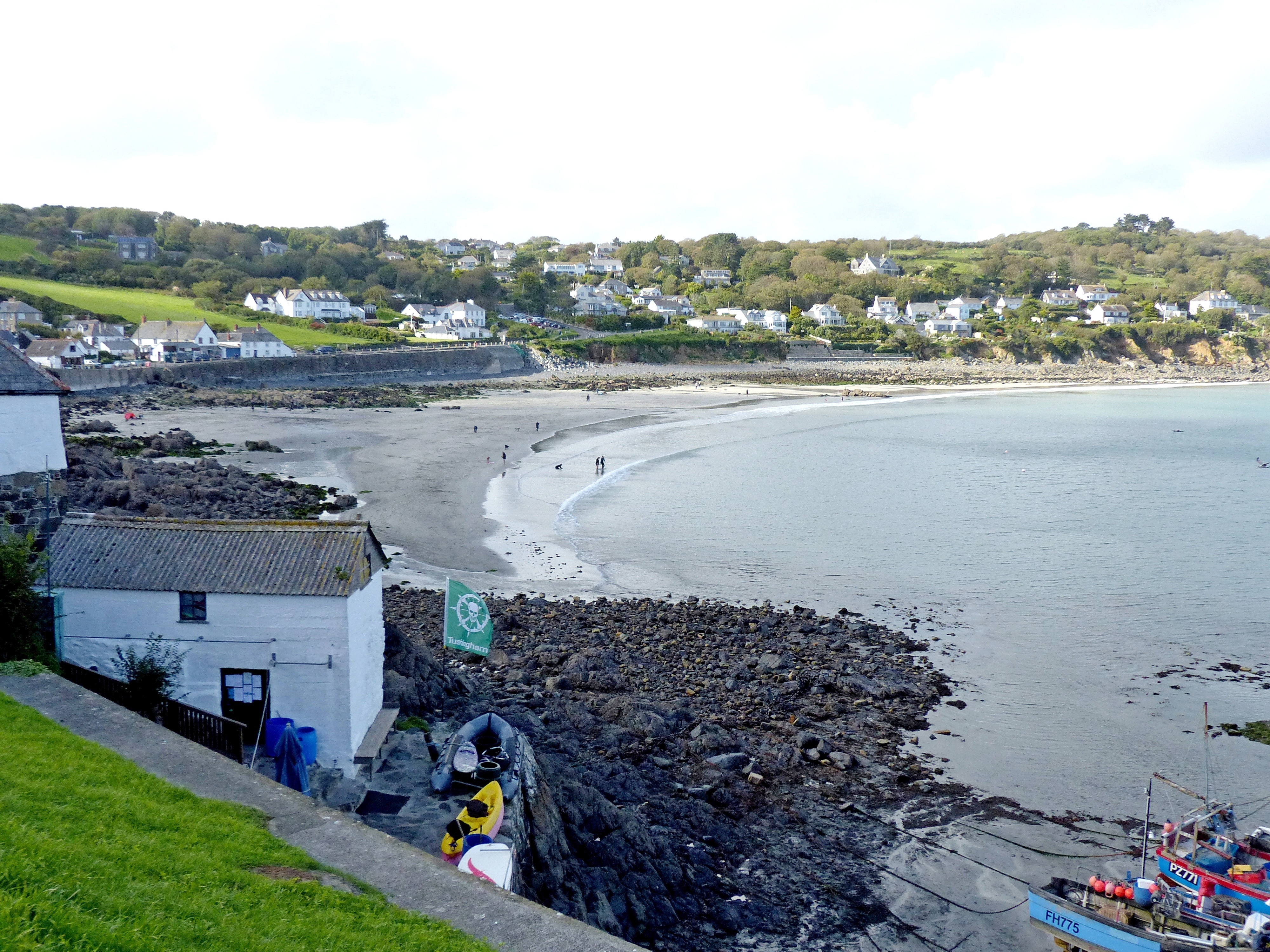
Beagles Point is easily accessible, with a well-maintained footpath leading visitors to the headland. The path meanders through lush coastal vegetation, offering glimpses of wildflowers and grasses that thrive in this unique coastal environment. Once at the point, visitors can explore the rocky outcrops and enjoy panoramic views of the surrounding coastline, with sandy beaches and hidden coves stretching out in both directions.
Due to its exposed location, Beagles Point can be subject to strong winds and rough seas at times. However, this only adds to its allure, making it a favorite spot for photographers and those seeking an exhilarating coastal experience. Whether it's a leisurely stroll along the footpath or an adventurous hike along the cliffs, Beagles Point offers a truly unforgettable experience for those who visit.
If you have any feedback on the listing, please let us know in the comments section below.
Beagles Point Images
Images are sourced within 2km of 50.007515/-5.1182867 or Grid Reference SW7616. Thanks to Geograph Open Source API. All images are credited.


Beagles Point is located at Grid Ref: SW7616 (Lat: 50.007515, Lng: -5.1182867)
Unitary Authority: Cornwall
Police Authority: Devon and Cornwall
What 3 Words
///countries.hologram.latitudes. Near Landewednack, Cornwall
Nearby Locations
Related Wikis
Kennack to Coverack
Kennack to Coverack is a coastal Site of Special Scientific Interest (SSSI) on the Lizard Peninsula in Cornwall, England, UK, noted for both its biological...
Coverack
Coverack (Cornish: Porthkovrek, meaning cove of the stream) is a coastal village and fishing port in Cornwall, England. It lies in the parish of St Keverne...

Trelan
Trelan (Cornish: Trelann) is a hamlet in the parish of St Keverne in Cornwall, England, United Kingdom, on the eastern borders of Goonhilly Downs.Trelan...
Gwenter
Gwenter (Cornish: Gwynstir) is a hamlet in the parish of St Keverne (where the 2011 census population was included), Cornwall, England.Gwenter lies within...
Nearby Amenities
Located within 500m of 50.007515,-5.1182867Have you been to Beagles Point?
Leave your review of Beagles Point below (or comments, questions and feedback).