An Cnap
Coastal Feature, Headland, Point in Inverness-shire
Scotland
An Cnap
An Cnap is a prominent coastal feature located in Inverness-shire, Scotland. It is known for being a headland or point that extends out into the sea, offering stunning views of the surrounding landscape. Situated on the western coast of Scotland, An Cnap is characterized by its rugged cliffs, rocky shores, and breathtaking vistas.
The headland is formed by the natural erosion of the coastal rock, which has carved out a distinctive shape over time. An Cnap stands tall against the crashing waves of the Atlantic Ocean, providing a dramatic backdrop for any observer.
The area surrounding An Cnap is rich in biodiversity, with a variety of flora and fauna adapted to the coastal environment. The cliffs are home to numerous seabirds, including gulls, puffins, and cormorants, which nest and breed in the crevices of the rock face. The rocky shores are also teeming with marine life, including crabs, sea urchins, and various species of fish.
Visitors to An Cnap can enjoy a range of outdoor activities, such as hiking along the coastal paths, birdwatching, and photography. The headland provides an excellent vantage point to witness the ever-changing moods of the sea, from calm and serene to wild and tumultuous.
Additionally, An Cnap offers a peaceful retreat for those seeking solitude and a connection to nature. The sound of the waves crashing against the cliffs, combined with the salty sea air, creates a tranquil atmosphere that is perfect for relaxation and reflection.
In summary, An Cnap in Inverness-shire is a picturesque headland that showcases the beauty of Scotland's coastal landscape. With its rugged cliffs, diverse wildlife, and panoramic views, it is a must-visit destination for nature enthusiasts and those seeking a peaceful escape.
If you have any feedback on the listing, please let us know in the comments section below.
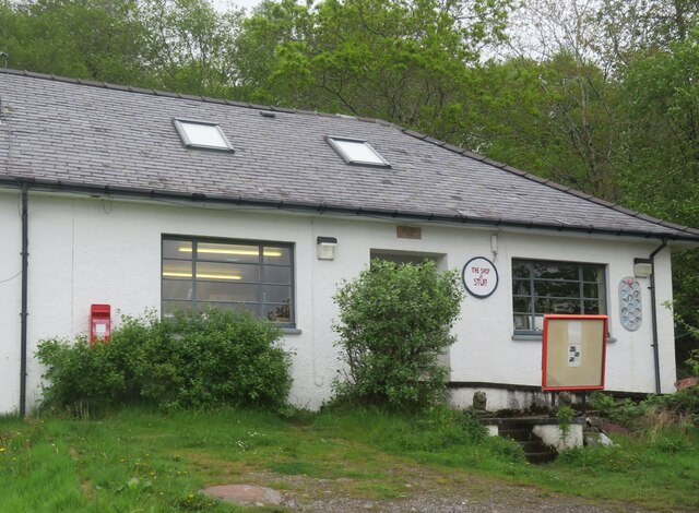
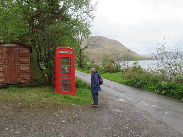
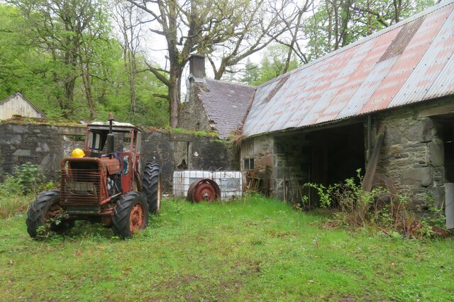
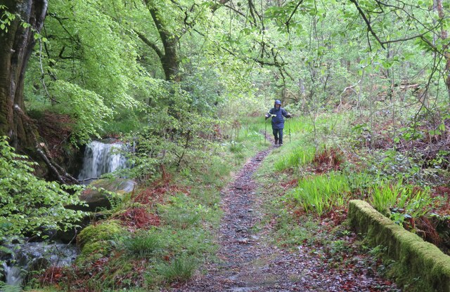
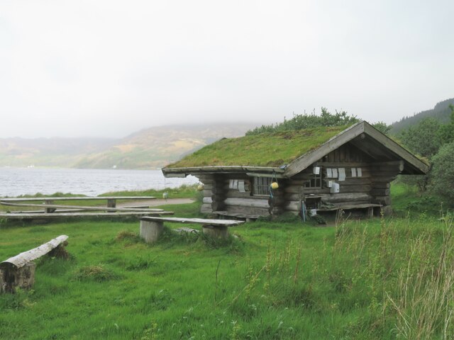
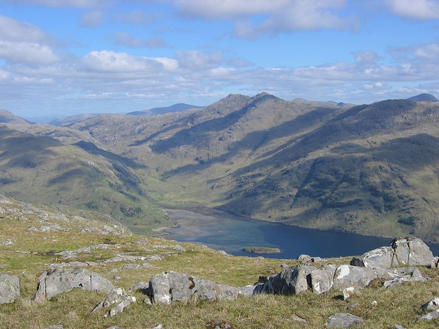
An Cnap Images
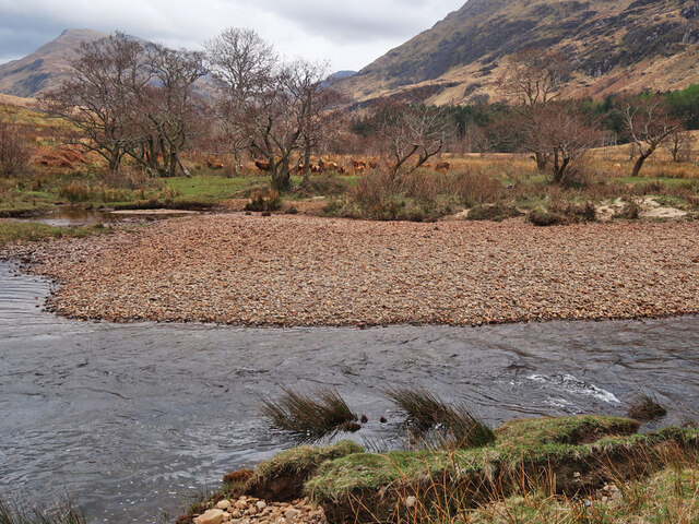
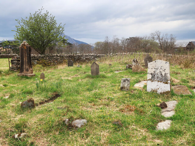
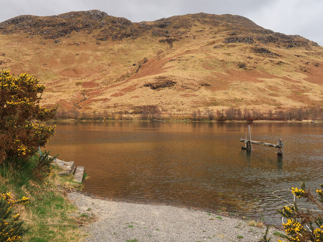
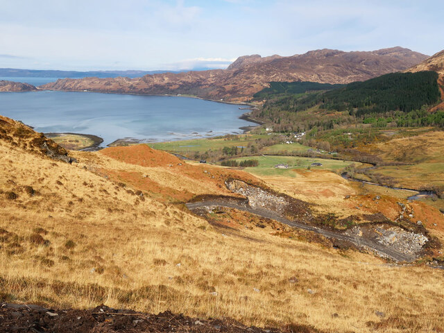
Images are sourced within 2km of 57.025021/-5.6802101 or Grid Reference NM7698. Thanks to Geograph Open Source API. All images are credited.
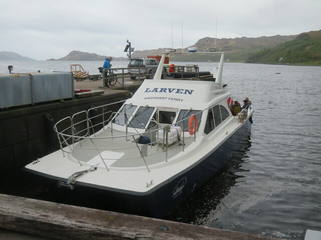

![The road to the west Part of the restricted length of tarmac on the Knoydart peninsula, with locals suggesting that there's around 6-7 miles of 'decent' road. Some vehicles come here to slowly die as MOT failures can still run around the area [not sure about road tax] until they expire. The only way for vehicles to get here is by a sort of tank landing craft from Mallaig. On our visit we saw an expired VW Golf being towed to the pier for its last journey to Mallaig and the scrapyard.](https://s1.geograph.org.uk/geophotos/07/19/05/7190517_fb271f54.jpg)
![Moss covered walls The track leading out of Inverie towards [eventually] everywhere else. Keep heading this way for a couple of days through remote mountains and over the Mam Barrisdale pass and you might eventually arrive, bedraggled and hungry at the road end at Kinloch Hourn. The luxuriant vegetation here and moss covered stone walls are an indication of the high rainfall in this area.](https://s2.geograph.org.uk/geophotos/07/19/05/7190554_aaeb6f73.jpg)
![Inverie House The &#039;big house&#039; at the centre of what was once Lord Brocket&#039;s estate. The house has various sections dating back to the 18th and 19th centuries. In 1940 it was requisitioned for the war effort and became a training centre for the Special Operations Executive [SOE]. I&#039;m unsure about its current role.](https://s1.geograph.org.uk/geophotos/07/19/05/7190577_a1407275.jpg)
![Track to the outside world Inverie is a very isolated place, which despite being on the mainland has no road access to the rest of Scotland. This track appears to be accessible for 4WD vehicles as far as Loch an Dubh Lochan [a curious name], but beyond that is a rough path over the Mam Barrisdale pass, eventually reaching a road end at Kinloch Hourn.](https://s2.geograph.org.uk/geophotos/07/19/05/7190582_d125870b.jpg)
An Cnap is located at Grid Ref: NM7698 (Lat: 57.025021, Lng: -5.6802101)
Unitary Authority: Highland
Police Authority: Highlands and Islands
What 3 Words
///animates.awestruck.interacts. Near Armadale, Highland
Nearby Locations
Related Wikis

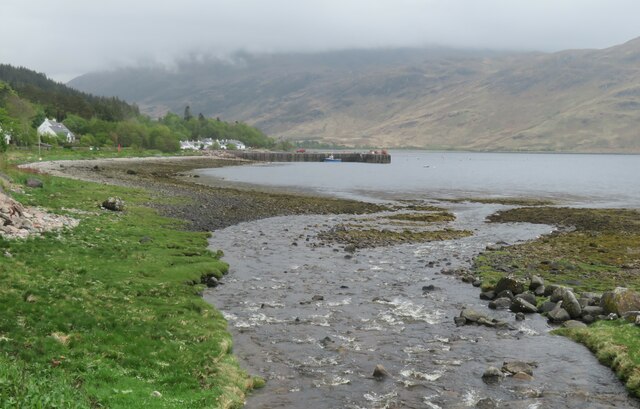
Inverie Bay
Inverie Bay is a coastal embayment, on a chord of 2.12 miles, on a 207° orientation, on the northwestern coast of the sea loch in Loch Nevis, and is next...

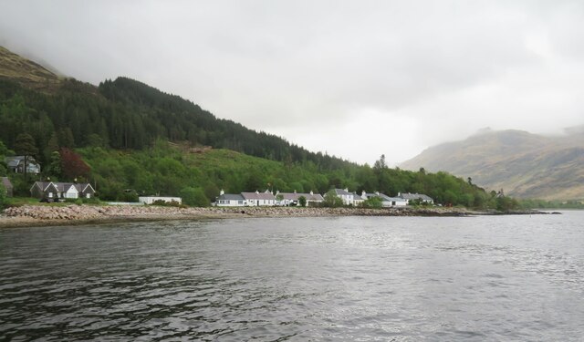
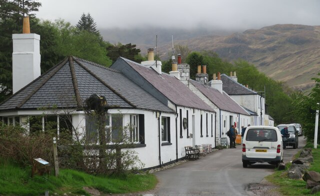
Inverie
Inverie (; Scottish Gaelic: Inbhir Aoidh) is the main village on the Knoydart peninsula in the Scottish Highlands. It is located on the north side of Loch...
Loch Nevis
Loch Nevis (Scottish Gaelic: Loch Nibheis) is a sea loch in Lochaber on the west coast of Scotland. It runs inland from the Sound of Sleat, and is bounded...

The Rough Bounds
The Rough Bounds (Scottish Gaelic: Na Garbh Chriochan), in the Scottish Highlands, is the area of West Inverness-shire bounded by Loch Hourn, Loch Shiel...
Nearby Amenities
Located within 500m of 57.025021,-5.6802101Have you been to An Cnap?
Leave your review of An Cnap below (or comments, questions and feedback).