Rubha na Feàrna
Coastal Feature, Headland, Point in Ross-shire
Scotland
Rubha na Feàrna

Rubha na Feàrna, located in Ross-shire, Scotland, is a stunning coastal feature known for its picturesque headland and point. Situated on the northwest coast of the Scottish Highlands, this area offers breathtaking views of the surrounding landscape and the vast Atlantic Ocean.
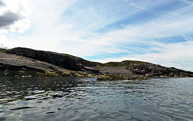
Characterized by its rocky cliffs, Rubha na Feàrna juts out into the sea, creating a distinct headland that is a sight to behold. The headland is formed by layers of sedimentary rock, which have been shaped over centuries by the powerful forces of wind and water. These cliffs provide a nesting site for a variety of seabirds, including guillemots, razorbills, and puffins, making it a popular destination for birdwatchers and nature enthusiasts.
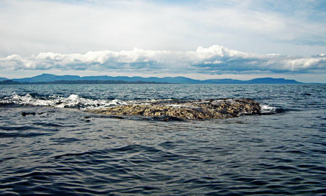
The point of Rubha na Feàrna offers panoramic views of the surrounding area, with the waves crashing against the rugged coastline below. On a clear day, visitors can even catch a glimpse of the Outer Hebrides in the distance. The point is also home to a lighthouse, which has been guiding ships safely along this treacherous stretch of coast since its construction in the 19th century.
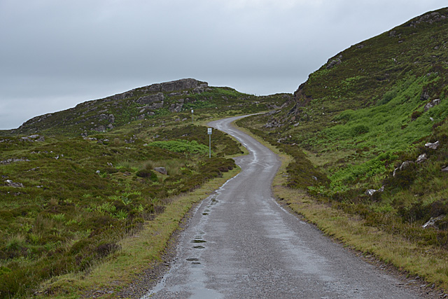
Access to Rubha na Feàrna is relatively easy, with a well-maintained footpath leading visitors to the headland and point. The area is a haven for hikers and photographers, who can capture the natural beauty of the Scottish Highlands from this vantage point.
Overall, Rubha na Feàrna is a captivating coastal feature that offers visitors an opportunity to immerse themselves in the rugged beauty of the Scottish coastline and witness the power of nature firsthand.
If you have any feedback on the listing, please let us know in the comments section below.
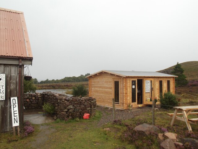
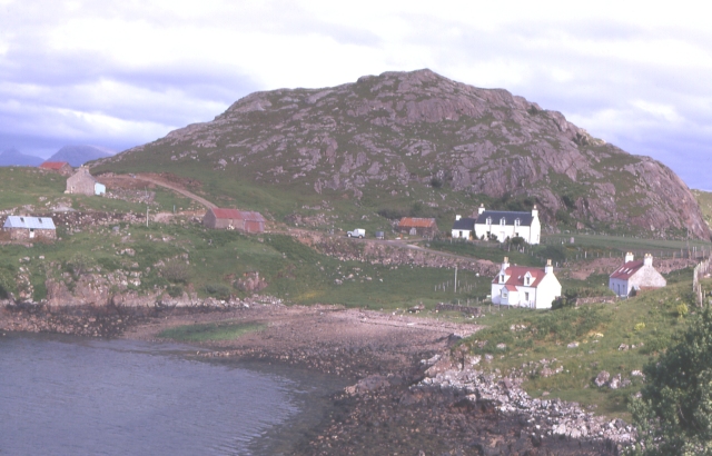
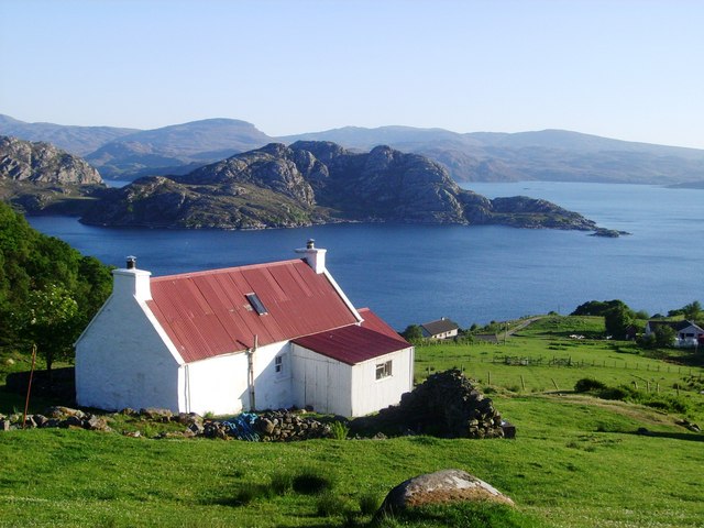
Rubha na Feàrna Images
Images are sourced within 2km of 57.575538/-5.8403594 or Grid Reference NG7060. Thanks to Geograph Open Source API. All images are credited.


Rubha na Feàrna is located at Grid Ref: NG7060 (Lat: 57.575538, Lng: -5.8403594)
Unitary Authority: Highland
Police Authority: Highlands and Islands
What 3 Words
///flute.pipe.rivals. Near Gairloch, Highland
Nearby Locations
Related Wikis

Loch Torridon
Loch Torridon (Scottish Gaelic: Loch Thoirbheartan) is a sea loch on the west coast of Scotland in the Northwest Highlands. The loch was created by glacial...
Ardheslaig
Ardheslaig (Scottish Gaelic: Àird Heisleag) is a crofting settlement at the northern end of the Applecross peninsula in the Scottish Highlands. It is 3...
Redpoint
Redpoint (Scottish Gaelic: An Rubha Dearg) is a small settlement in the north west of Highland, Scotland. It takes its name from Red Point, a low promontory...
Diabaig
Diabaig (Scottish Gaelic: Dìobaig) is a remote coastal fishing and crofting township in Wester Ross, in the Northwest Highlands of Scotland. Diabaig lies...
Have you been to Rubha na Feàrna?
Leave your review of Rubha na Feàrna below (or comments, questions and feedback).