Àird Ghunail
Coastal Feature, Headland, Point in Inverness-shire
Scotland
Àird Ghunail
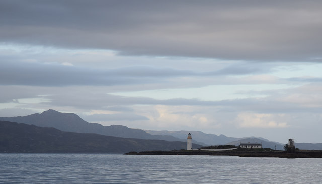
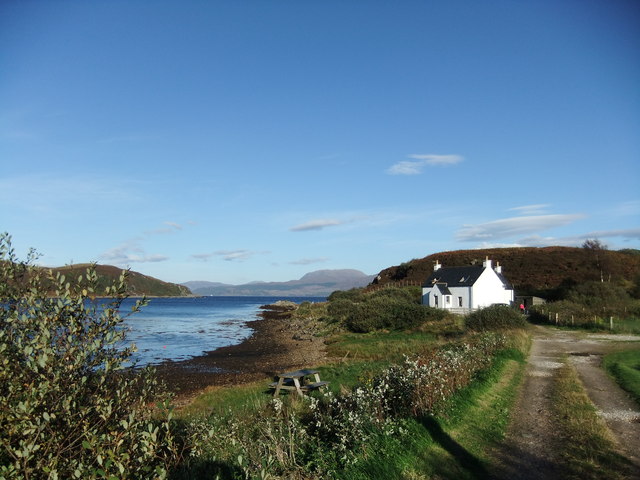
Àird Ghunail is a prominent headland located in Inverness-shire, Scotland. Situated along the beautiful coastal region, it is known for its striking cliffs and stunning views that attract both locals and tourists alike.
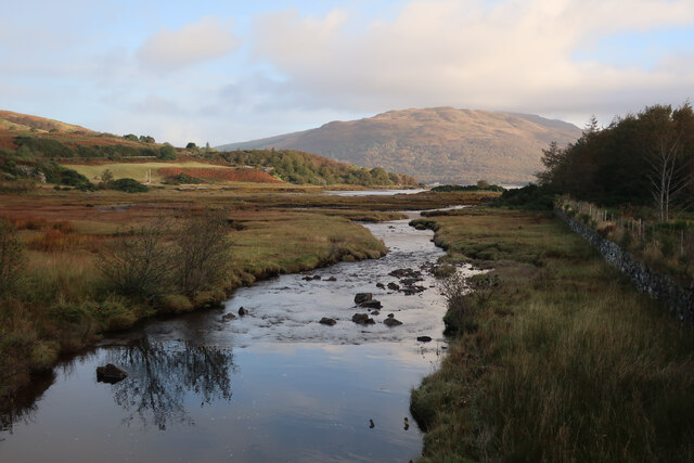
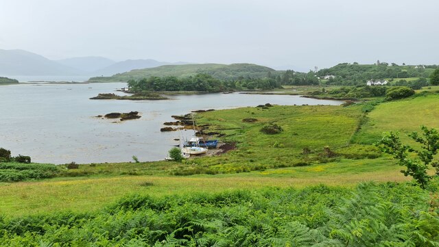
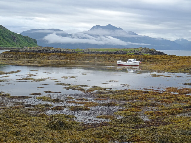
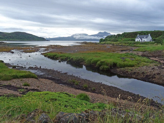
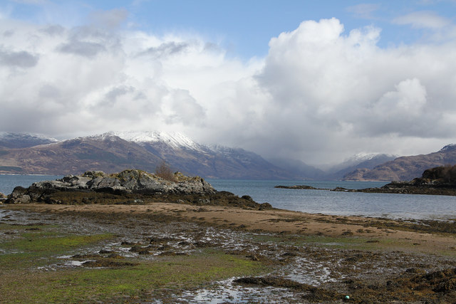
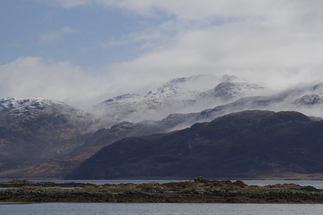
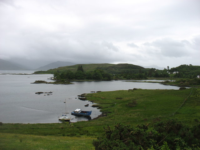
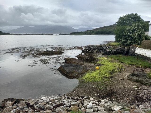
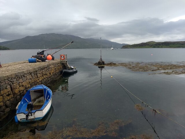
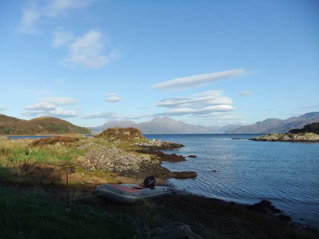
The headland stretches out into the North Atlantic Ocean, offering panoramic vistas of the surrounding seascape and the rugged Scottish coastline. Its geographical location makes it a perfect spot for nature lovers and photographers who seek to capture the beauty of the Scottish Highlands.
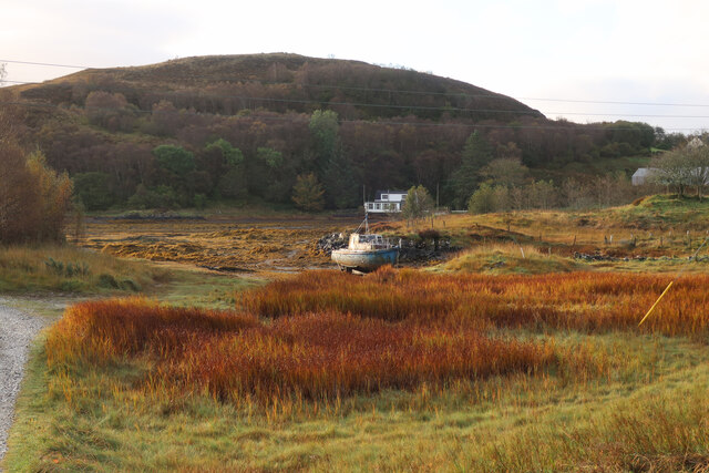
The rocky cliffs of Àird Ghunail are a notable feature of the headland. These cliffs, formed from layers of sedimentary rock, rise steeply from the sea, creating a dramatic and awe-inspiring sight. The constant battering of the waves against the cliffs has sculpted them into unique formations, adding to the allure of the area.
The headland is also home to a diverse range of flora and fauna. The coastal vegetation, including hardy grasses and wildflowers, thrives in the harsh conditions, providing a habitat for various bird species and small mammals. Birdwatchers can often spot seabirds such as gannets, puffins, and guillemots soaring above the headland or nesting in the crevices of the cliffs.
Access to Àird Ghunail is relatively easy, with a well-maintained path leading to the headland. Visitors can explore the area on foot, taking in the breathtaking scenery and enjoying the tranquility of the coastal environment.
Overall, Àird Ghunail is a captivating coastal feature in Inverness-shire, offering a blend of natural beauty, rugged cliffs, and abundant wildlife. It is a must-visit destination for anyone seeking an authentic Scottish coastal experience.
If you have any feedback on the listing, please let us know in the comments section below.
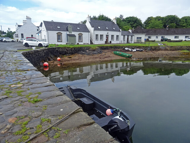
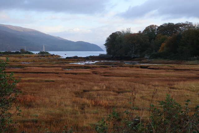
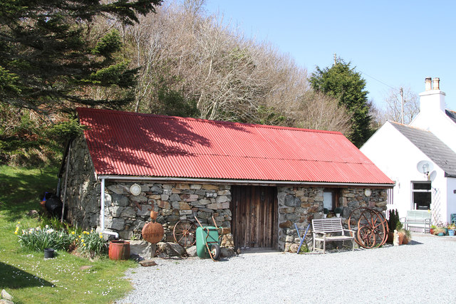
Àird Ghunail Images
Images are sourced within 2km of 57.139756/-5.7948824 or Grid Reference NG7011. Thanks to Geograph Open Source API. All images are credited.
Àird Ghunail is located at Grid Ref: NG7011 (Lat: 57.139756, Lng: -5.7948824)
Unitary Authority: Highland
Police Authority: Highlands and Islands
What 3 Words
///void.nicely.readers. Near Armadale, Highland
Nearby Locations
Related Wikis

Camuscross
Camuscross (Scottish Gaelic: Camus Croise) is a small crofting township on the Isle of Skye in Scotland. Camuscross is situated on Camus Croise bay, on...

Té Bheag
Té Bheag (Scottish Gaelic pronunciation: [ˈtʲʰeː ˈvek]) is a blended Scotch whisky made by Pràban na Linne Ltd in Scotland. It is one of Sir Iain Noble...

Ornsay
Ornsay is a small tidal island to the east of the Sleat peninsula on the Isle of Skye in the Inner Hebrides of Scotland. == Description == The island provides...

Isleornsay
Isleornsay (Scottish Gaelic: Eilean Iarmain) is a village lying off the main Armadale to Sleat road (the A851) on the Isle of Skye in Scotland. It overlooks...
Nearby Amenities
Located within 500m of 57.139756,-5.7948824Have you been to Àird Ghunail?
Leave your review of Àird Ghunail below (or comments, questions and feedback).