Gallows Green
Settlement in Essex Colchester
England
Gallows Green
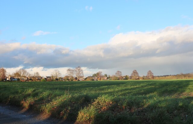
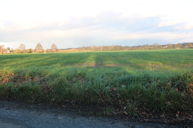
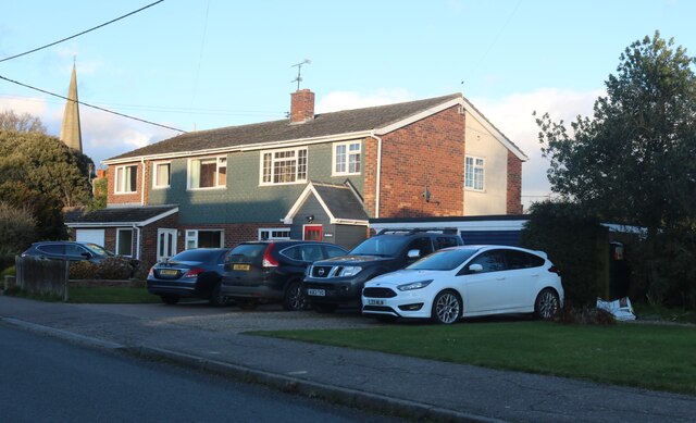
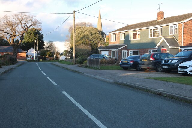
Gallows Green is a small village located in the county of Essex, England. Situated approximately 10 miles northeast of Chelmsford, it is a rural area surrounded by picturesque countryside. The village is nestled in the heart of the county, offering its residents a tranquil and peaceful setting.
The origins of the name "Gallows Green" can be traced back to the medieval period, when it was a common practice to execute criminals on a gallows in open fields. However, there is no longer any evidence of this historical significance in the village today.
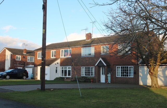
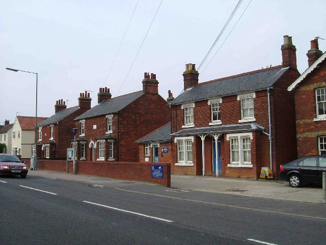
The village consists of a small cluster of houses and a few local amenities, including a village hall and a primary school. The community is close-knit, with a friendly and welcoming atmosphere. Many residents are involved in local events and activities, fostering a sense of togetherness.
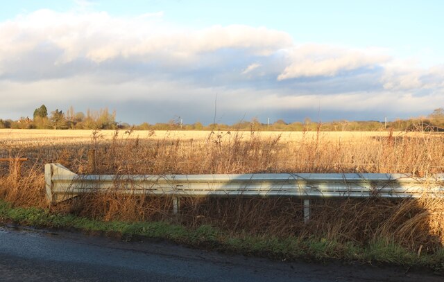
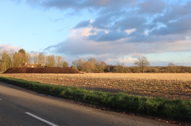
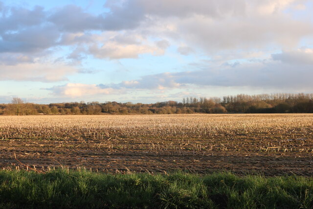
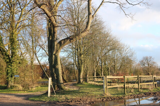
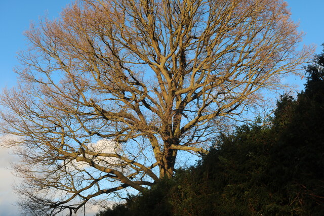
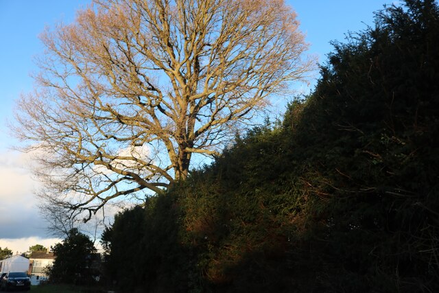
Nature enthusiasts are drawn to Gallows Green due to its proximity to several nature reserves and green spaces. The village is surrounded by beautiful countryside, offering opportunities for walking, cycling, and exploring the outdoors.
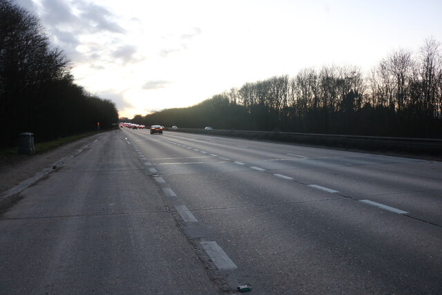
Despite its rural setting, Gallows Green benefits from good transport links. The nearby A130 road provides easy access to Chelmsford and other major towns in the area. Additionally, the village is served by regular bus services, connecting residents to neighboring towns and villages.
Overall, Gallows Green offers a peaceful and idyllic lifestyle in a charming rural setting. Its community spirit, natural beauty, and convenient location make it an attractive place to live for those seeking a quieter way of life in Essex.
If you have any feedback on the listing, please let us know in the comments section below.
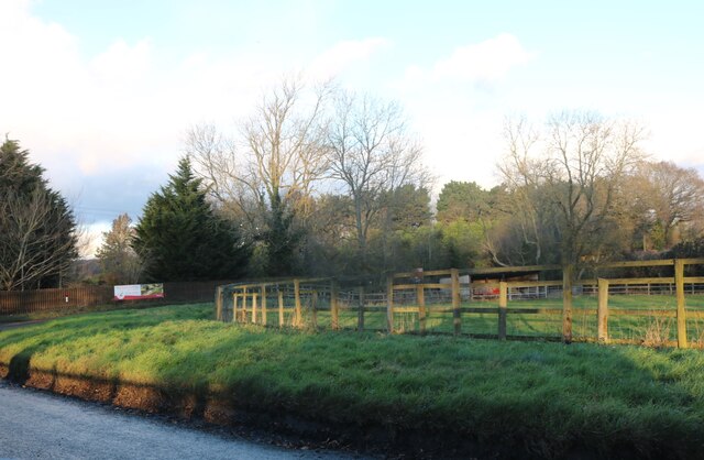
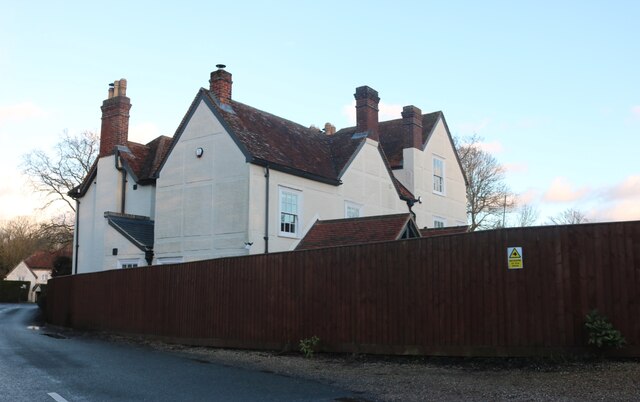
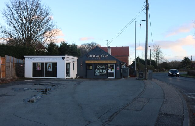
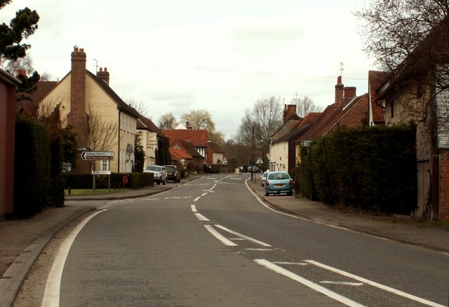
Gallows Green Images
Images are sourced within 2km of 51.901746/0.79518346 or Grid Reference TL9226. Thanks to Geograph Open Source API. All images are credited.


Gallows Green is located at Grid Ref: TL9226 (Lat: 51.901746, Lng: 0.79518346)
Administrative County: Essex
District: Colchester
Police Authority: Essex
What 3 Words
///trucked.eased.coil. Near Eight Ash Green, Essex
Nearby Locations
Related Wikis
Fordstreet
Fordstreet or Ford Street is a village on the A1124 road, in the civil parish of Aldham in the Colchester district in Essex, England. It is located on...

Aldham, Essex
Aldham is a village and civil parish in the City of Colchester district of Essex, England. It is located 4+1⁄2 mi (7.2 km) west of Colchester. The village...

Fordham Heath
Fordham Heath is a hamlet near the A1124 road, in the Colchester district, in the English county of Essex. It is near the large town of Colchester and...
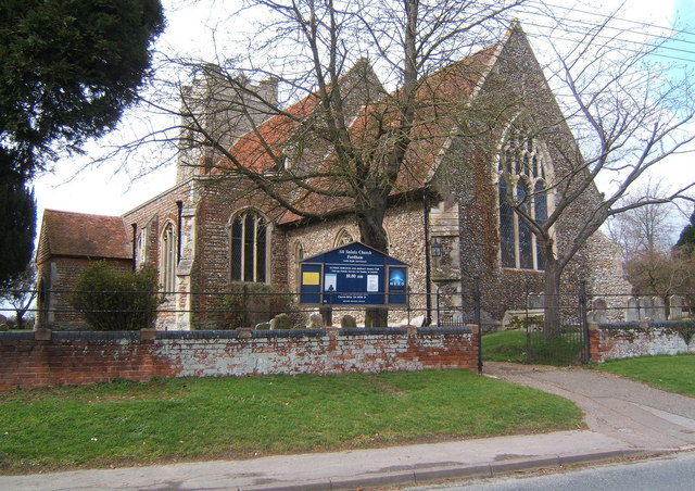
All Saints Church, Fordham
All Saints Church is a Church of England parish church in Fordham, Essex. The church is a Grade I listed building. == History == All Saints' Anglican Church...

Eight Ash Green
Eight Ash Green is a village and civil parish in the City of Colchester district of Essex, England. It is on the A1124 road, near Junction 26 (Eight Ash...
Copford
Copford is a village and civil parish in the City of Colchester district of Essex, England. It is 3 kilometres (2 mi) west of Colchester, and the hamlet...

Marks Tey Brickpit
Marks Tey Brickpit is a 29.5-hectare (73-acre) geological Site of Special Scientific Interest in Marks Tey in Essex. It is a Geological Conservation Review...
Fordham, Essex
Fordham is a village and civil parish in the Colchester district of Essex, England, six miles north-west of Colchester. Its population was recorded as...
Nearby Amenities
Located within 500m of 51.901746,0.79518346Have you been to Gallows Green?
Leave your review of Gallows Green below (or comments, questions and feedback).