Fordstreet

Settlement in Essex Colchester

England

Fordstreet

Field by Brook Road, Aldham
Field by Brook Road, Aldham Credit: David Howard

Fordstreet is a small village located in the county of Essex, in the eastern part of England. Situated about 45 miles northeast of London, it falls under the Braintree district and has a population of around 500 residents.

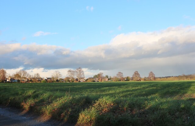
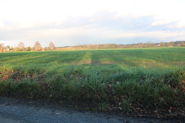
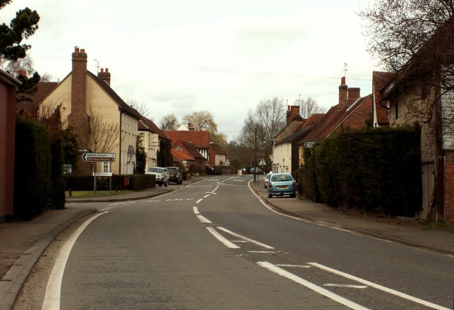
The village is characterized by its picturesque rural setting, with rolling hills, open fields, and charming countryside views. It is primarily an agricultural community, with farming being the main occupation for many of its inhabitants. The landscape is dotted with traditional farmhouses and barns, adding to the village's rustic charm.

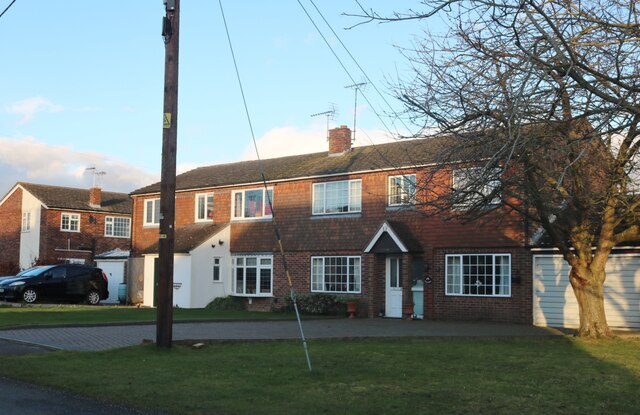
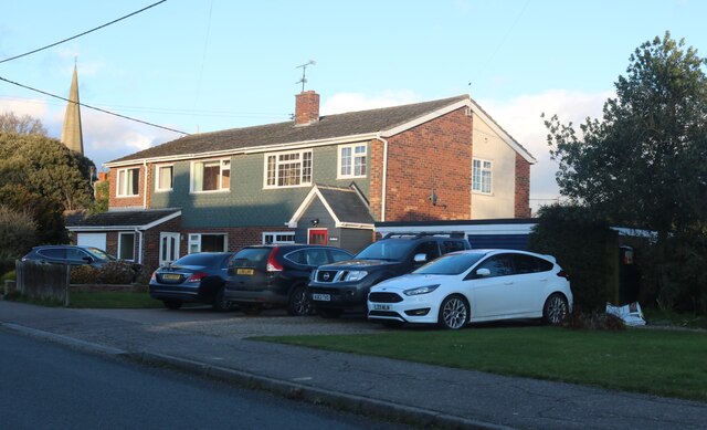
Fordstreet has a close-knit community feel, with a strong sense of local pride and camaraderie. There is a village hall that serves as a hub for various social and community events, bringing residents together for activities such as fairs, parties, and meetings. The village also has a primary school, providing education for the local children.

Despite its small size, Fordstreet benefits from its proximity to nearby towns and amenities. The village is within easy reach of Braintree, a larger town offering a wider range of services, including shops, supermarkets, healthcare facilities, and leisure activities. Additionally, the village enjoys good transport links, with road connections to major nearby cities such as Chelmsford and Colchester.

In summary, Fordstreet is a tranquil and close-knit village in rural Essex, offering a peaceful and idyllic countryside lifestyle while maintaining convenient access to nearby towns and amenities.

If you have any feedback on the listing, please let us know in the comments section below.
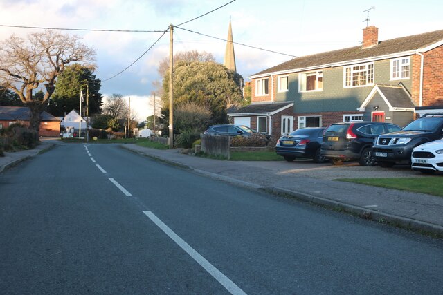
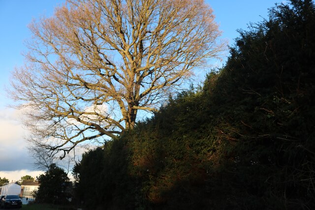
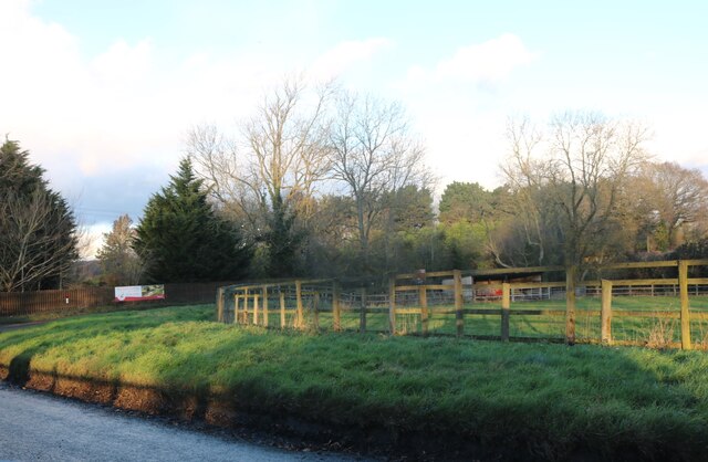
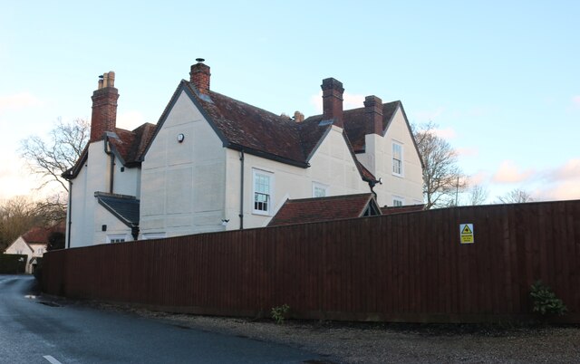
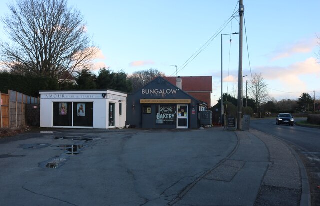
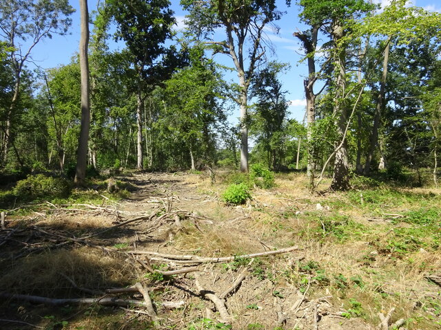
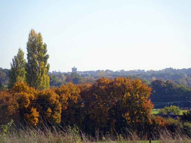
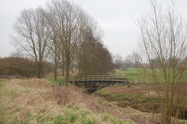
Fordstreet Images

Images are sourced within 2km of 51.908072/0.791912 or Grid Reference TL9226. Thanks to Geograph Open Source API. All images are credited.

Field by Brook Road, Aldham
Houses on Brook Road, Aldham
Brook Road, Aldham
Brook Road, Aldham
Large tree by New Road, Aldham
New Road, Fordstreet
House on New Road, Fordstreet
Houses on Halstead Road, Eight Ash Green
Shops on Halstead Road, Eight Ash Green
A clearing in Hoe Wood
Colchester from a small field in near Fordham
The Essex Way 107 - River Colne The next stretch of the Essex Way to Fordstreet follows the river along its south bank.
The Essex Way 107 - River Colne
The next stretch of the Essex Way to Fordstreet follows the river along its south bank.
The Essex Way 108 - pillbox This pillbox, one of many along this section of the Colne Valley, stands close by the river.
The Essex Way 108 - pillbox
This pillbox, one of many along this section of the Colne Valley, stands close by the river.
The Essex Way 109 - River Colne at Fordstreet At this point just before it reaches the road at Fordstreet the Essex Way leaves the river bank for a short section.
The Essex Way 109 - River Colne at Fordstreet
At this point just before it reaches the road at Fordstreet the Essex Way leaves the river bank for a short section.
The Essex Way 110 - The Shoulder of Mutton, Fordstreet A great spot for a welcome break along the path.
The Essex Way 110 - The Shoulder of Mutton, Fordstreet
A great spot for a welcome break along the path.
The Essex Way 111 - footbridge This bridge over the River Colne carries a footpath which crosses the Essex Way path.
The Essex Way 111 - footbridge
This bridge over the River Colne carries a footpath which crosses the Essex Way path.
Show me another place!

Fordstreet is located at Grid Ref: TL9226 (Lat: 51.908072, Lng: 0.791912)

Administrative County: Essex

District: Colchester

Police Authority: Essex

What 3 Words

///handbag.boss.operation. Near Eight Ash Green, Essex

Nearby Locations

Gallows Green Fordstreet

Related Wikis

Fordstreet

Fordstreet or Ford Street is a village on the A1124 road, in the civil parish of Aldham in the Colchester district in Essex, England. It is located on...

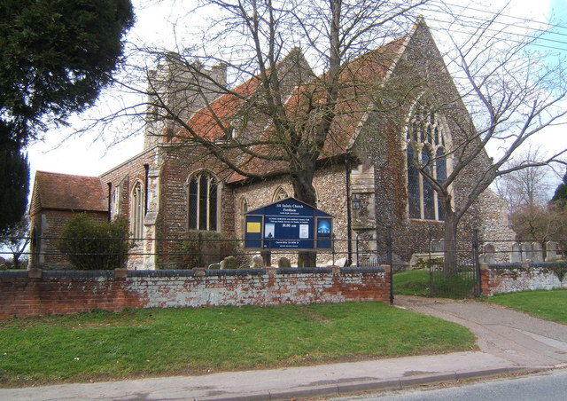
All Saints Church, Fordham

All Saints Church is a Church of England parish church in Fordham, Essex. The church is a Grade I listed building. == History == All Saints' Anglican Church...

Fordham Heath

Fordham Heath is a hamlet near the A1124 road, in the Colchester district, in the English county of Essex. It is near the large town of Colchester and...

Aldham, Essex

Aldham is a village and civil parish in the City of Colchester district of Essex, England. It is located 4+1⁄2 mi (7.2 km) west of Colchester. The village...

Nearby Amenities

Located within 500m of 51.908072,0.791912
Fordstreet
Is In: Essex, England, UK
Place: village
Source: NPE
Wikidata: Q5468110
Lat/Long: 51.9081641/0.7890411
Pub
The Shoulder of Mutton
Source: gps
Wikidata: Q26532743
Lat/Long: 51.9098692/0.7907388
New Road
Naptan AtcoCode: 1500IM1447
Naptan Bearing: N
Naptan BusStopType: CUS
Naptan CommonName: The Queens Head
Naptan Indicator: o/s
Naptan Landmark: The Queens Head
Naptan NaptanCode: esxdjpdg
Naptan Street: Ford Street
Naptan Verified: no
Public Transport: platform
Source: naptan_import
Lat/Long: 51.9081336/0.790436
New Road
Naptan AtcoCode: 1500IM1447AA
Naptan Bearing: S
Naptan BusStopType: CUS
Naptan CommonName: The Queens Head
Naptan Indicator: Opp
Naptan Landmark: The Queens Head
Naptan NaptanCode: esxjajgt
Naptan Street: Ford Street
Naptan Verified: no
Public Transport: platform
Source: naptan_import
Lat/Long: 51.9080859/0.7905493
Traffic Signals
Lat/Long: 51.9090146/0.7902659
Traffic Signals
Lat/Long: 51.9095587/0.7903382
Boat Rental
Lat/Long: 51.9080474/0.7846497
Power: pole
Lat/Long: 51.910541/0.7961836
Power: pole
Lat/Long: 51.906189/0.7946335
Power: pole
Lat/Long: 51.9054498/0.7949423
Power: pole
Lat/Long: 51.9118247/0.7958617
Power: pole
Lat/Long: 51.9046864/0.7952344
Power: pole
Lat/Long: 51.9119903/0.7924661
Power: pole
Lat/Long: 51.9101704/0.7944992
Power: pole
Lat/Long: 51.911507/0.7936945
Power: pole
Lat/Long: 51.9085493/0.7936757
Power: pole
Lat/Long: 51.9077312/0.7940113
Power: pole
Lat/Long: 51.9069358/0.7943307
Power: pole
Lat/Long: 51.9110227/0.7949173
Power: pole
Lat/Long: 51.9093396/0.7940861
The data included in this document is from www.openstreetmap.org. The data is made available under ODbL.

Have you been to Fordstreet?

Leave your review of Fordstreet below (or comments, questions and feedback).