Gallows Green

Settlement in Essex Uttlesford

England

Gallows Green

Blamster's Hall These are outbuildings of Blamster's Hall, seen across the B184 near the hamlet of Radley's End.
Blamster's Hall Credit: Marathon

Gallows Green is a small village located in the county of Essex, England. Situated approximately 15 miles northeast of the city of Chelmsford, it falls within the administrative district of Uttlesford. With a population of around 500 residents, Gallows Green is known for its peaceful and rural environment.

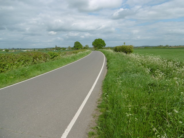
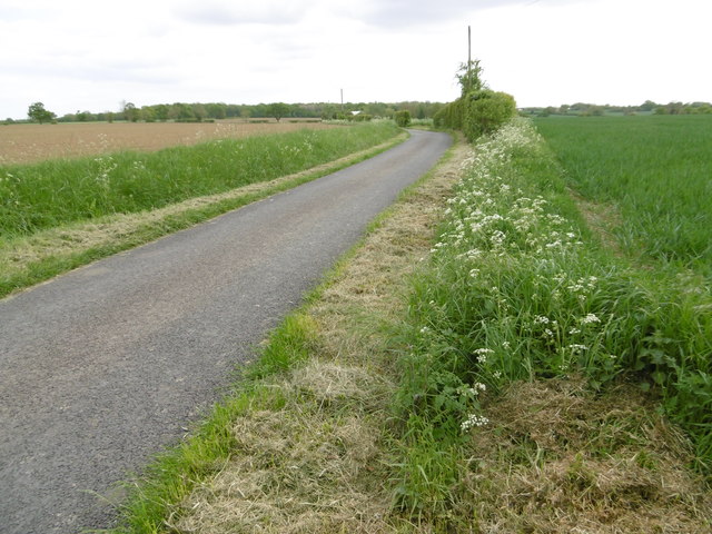
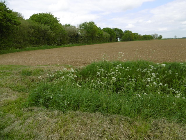
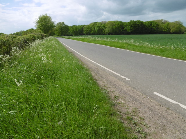
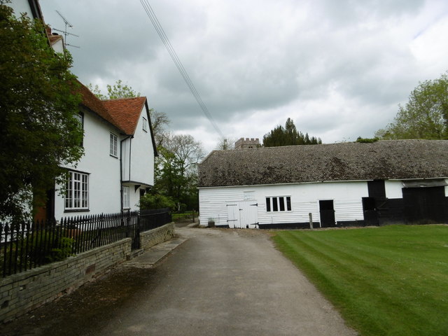
The village is surrounded by picturesque countryside, characterized by rolling hills, green fields, and charming woodland areas. This tranquil setting makes Gallows Green an attractive place for those seeking a retreat from the hustle and bustle of urban life. The village is well-connected to nearby towns and cities, with good road links and public transportation options available.

Gallows Green itself boasts a handful of amenities to cater to its residents' needs. These include a local pub, a small convenience store, and a primary school. The village's sense of community is fostered by regular events and gatherings, such as the annual summer fete and Christmas fair. Additionally, the nearby town of Saffron Walden offers a wider range of amenities, including shops, restaurants, and leisure facilities.

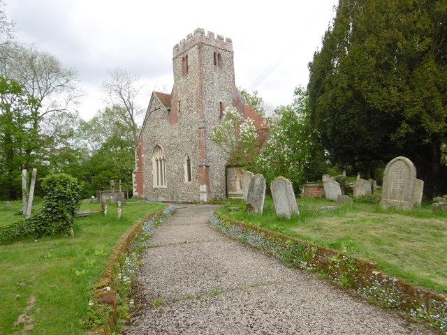
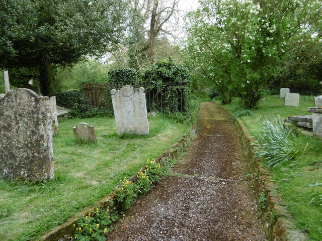
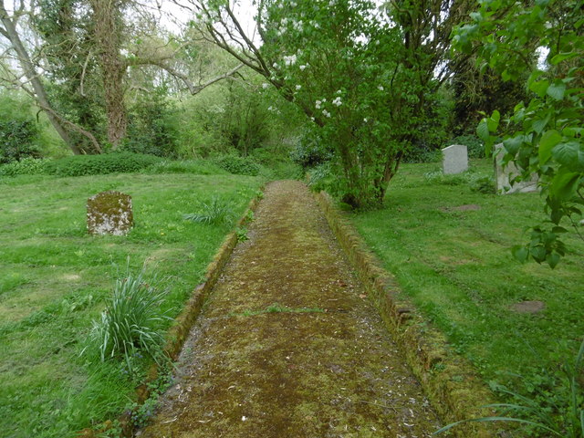
The area surrounding Gallows Green is rich in history and natural beauty. Within a short distance, residents can visit attractions such as Audley End House and Gardens, a magnificent Jacobean mansion, and Hatfield Forest, a vast ancient woodland managed by the National Trust. The region is also renowned for its extensive network of walking and cycling trails, allowing residents to fully appreciate the stunning countryside and local wildlife. Overall, Gallows Green offers a charming countryside lifestyle with easy access to nearby amenities and attractions.

If you have any feedback on the listing, please let us know in the comments section below.

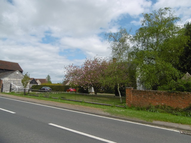
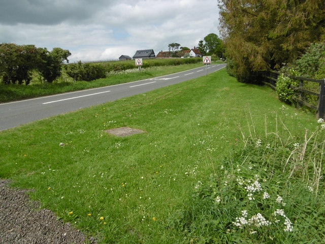
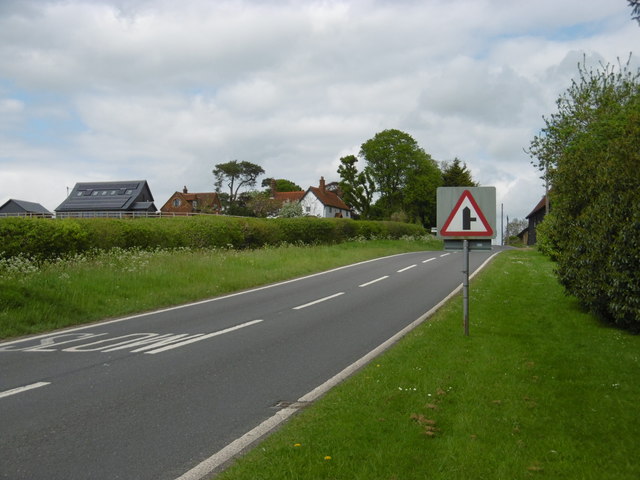
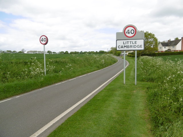
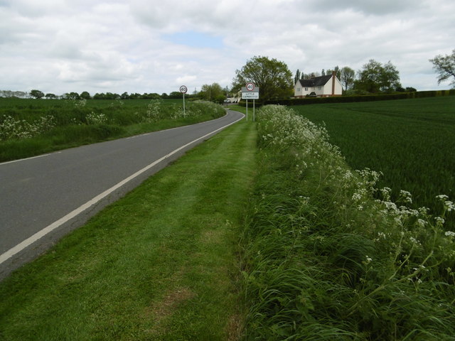
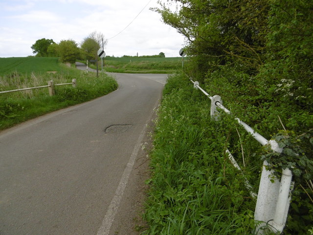
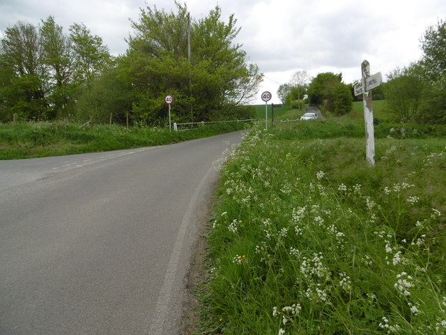
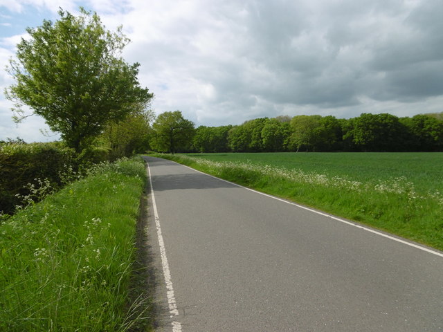
Gallows Green Images

Images are sourced within 2km of 51.918931/0.36730888 or Grid Reference TL6227. Thanks to Geograph Open Source API. All images are credited.

Blamster's Hall These are outbuildings of Blamster's Hall, seen across the B184 near the hamlet of Radley's End.
Blamster's Hall
These are outbuildings of Blamster's Hall, seen across the B184 near the hamlet of Radley's End.
Radley's End This is the B184 near the hamlet of Radley's End looking up to Greenarbour in the distance.
Radley's End
This is the B184 near the hamlet of Radley's End looking up to Greenarbour in the distance.
Greenarbour near Radley's End This is the B184 near the hamlet of Radley's End looking up to Greenarbour.
Greenarbour near Radley's End
This is the B184 near the hamlet of Radley's End looking up to Greenarbour.
Approach to Little Cambridge Little Cambridge is indeed little, consisting of just a handful of houses.
Approach to Little Cambridge
Little Cambridge is indeed little, consisting of just a handful of houses.
The road to Little Cambridge Little Cambridge is indeed little, consisting of just a handful of houses.
The road to Little Cambridge
Little Cambridge is indeed little, consisting of just a handful of houses.
The road to Lindsell The road crosses a small stream here. Breach Lane leads off to the right just beyond.
The road to Lindsell
The road crosses a small stream here. Breach Lane leads off to the right just beyond.
The road to Little Cambridge Breach Lane leads off to the left and just beyond the road crosses a small stream.
The road to Little Cambridge
Breach Lane leads off to the left and just beyond the road crosses a small stream.
Gallows Green Road Gallows Wood lies just ahead with a suitable sky to go with the name.
Gallows Green Road
Gallows Wood lies just ahead with a suitable sky to go with the name.
Gallows Green Road The village of Lindsell is a little way ahead.
Gallows Green Road
The village of Lindsell is a little way ahead.
Lane at Gallows Green This lane leads off Gallows Green Road but only goes as far as Bush Farm.
Lane at Gallows Green
This lane leads off Gallows Green Road but only goes as far as Bush Farm.
Field alongside Gallows Green Road Gallows Green Road is to the left of the field with Gallows Wood beyond that.
Field alongside Gallows Green Road
Gallows Green Road is to the left of the field with Gallows Wood beyond that.
Gallows Green Road Gallows Wood lies just ahead and Gallows Green is beyond that.
Gallows Green Road
Gallows Wood lies just ahead and Gallows Green is beyond that.
Approach to St Mary the Virgin Church, Lindsell Pevsner describes St Mary the Virgin Church, Lindsell as "A charming approach through the yard of Lindsell Hall." The church tower can just be seen peeping over the barn.
Approach to St Mary the Virgin Church, Lindsell
Pevsner describes St Mary the Virgin Church, Lindsell as "A charming approach through the yard of Lindsell Hall." The church tower can just be seen peeping over the barn.
Lindsell Lane This is at Church End, Lindsell. The lane on the right leads past the cricket ground.
Lindsell Lane
This is at Church End, Lindsell. The lane on the right leads past the cricket ground.
The Cottage, Lindsell This view is just next to the cricket ground. The lane leads eventually to Great Easton.
The Cottage, Lindsell
This view is just next to the cricket ground. The lane leads eventually to Great Easton.
St Mary the Virgin Church, Lindsell Pevsner describes St Mary the Virgin Church, Lindsell as "A charming approach through the yard of Lindsell Hall." He goes on to say "The church is small and compact, and of an unusual colour ... The tower moreover is in an unusual position, at the south-west end. It is of the late 16th century, stone, with diagonal buttress and battlements." The nave shows evidence of a Norman building.
St Mary the Virgin Church, Lindsell
Pevsner describes St Mary the Virgin Church, Lindsell as "A charming approach through the yard of Lindsell Hall." He goes on to say "The church is small and compact, and of an unusual colour ... The tower moreover is in an unusual position, at the south-west end. It is of the late 16th century, stone, with diagonal buttress and battlements." The nave shows evidence of a Norman building.
St Mary the Virgin Churchyard, Lindsell Pevsner describes St Mary the Virgin Church, Lindsell as "A charming approach through the yard of Lindsell Hall." He goes on to say "The church is small and compact, and of an unusual colour ... The tower moreover is in an unusual position, at the south-west end. It is of the late 16th century, stone, with diagonal buttress and battlements." The nave shows evidence of a Norman building.

The churchyard too is delightful and has the feel of a real country churchyard. It is peaceful and this path to the south of the church descends beyond the churchyard into woodland.
St Mary the Virgin Churchyard, Lindsell
Pevsner describes St Mary the Virgin Church, Lindsell as "A charming approach through the yard of Lindsell Hall." He goes on to say "The church is small and compact, and of an unusual colour ... The tower moreover is in an unusual position, at the south-west end. It is of the late 16th century, stone, with diagonal buttress and battlements." The nave shows evidence of a Norman building. The churchyard too is delightful and has the feel of a real country churchyard. It is peaceful and this path to the south of the church descends beyond the churchyard into woodland.
Path in St Mary the Virgin Churchyard, Lindsell Pevsner describes St Mary the Virgin Church, Lindsell as "A charming approach through the yard of Lindsell Hall." He goes on to say "The church is small and compact, and of an unusual colour ... The tower moreover is in an unusual position, at the south-west end. It is of the late 16th century, stone, with diagonal buttress and battlements." The nave shows evidence of a Norman building.

The churchyard too is delightful and has the feel of a real country churchyard. It is peaceful and this path to the south of the church descends beyond the churchyard into woodland.
Path in St Mary the Virgin Churchyard, Lindsell
Pevsner describes St Mary the Virgin Church, Lindsell as "A charming approach through the yard of Lindsell Hall." He goes on to say "The church is small and compact, and of an unusual colour ... The tower moreover is in an unusual position, at the south-west end. It is of the late 16th century, stone, with diagonal buttress and battlements." The nave shows evidence of a Norman building. The churchyard too is delightful and has the feel of a real country churchyard. It is peaceful and this path to the south of the church descends beyond the churchyard into woodland.
Show me another place!

Gallows Green is located at Grid Ref: TL6227 (Lat: 51.918931, Lng: 0.36730888)

Administrative County: Essex

District: Uttlesford

Police Authority: Essex

What 3 Words

///croutons.verdict.bright. Near Thaxted, Essex

Nearby Locations

Gallows Green

Related Wikis

Lindsell

Lindsell is a village and civil parish in the district of Uttlesford in the county of Essex, England. Nearby settlements include the parish hamlets of...

Holder's Green

Holder's Green is a hamlet near the village of Lindsell, in the Uttlesford district of Essex, England. The hamlet is the site of the Essex Wildlife Trust...

Richmond's Green

Richmond's Green or Richmonds Green is a hamlet in the civil parish of Thaxted, and the Uttlesford district of Essex, England. It is 1.5 miles (2 km) miles...

Monk Street

Monk Street is a hamlet in the civil parish of Thaxted, in the Uttlesford district of Essex, England. It is 1.5 miles (2.4 km) south of the town of Thaxted...

Bustard Green

Bustard Green is a hamlet in the civil parish of Lindsell, and the Uttlesford district of Essex, England, and is just under 1 mile (2 km) north from the...

Bardfield End Green

Bardfield End Green is a hamlet in the Uttlesford district of Essex, England approximately one mile east of Thaxted. It is the home of Thaxted cricket...

Tilty

Tilty or Tylsey is a village and a civil parish in the Uttlesford district, in the county of Essex, England. In 2001 the population of the civil parish...

Tilty Abbey

Tilty Abbey was a Cistercian abbey in Tilty, Essex, England. It was dissolved 3 March 1536. The chapel, with a nave built circa 1220, became a parish church...

Nearby Amenities

Located within 500m of 51.918931,0.36730888
Gallows Green
Place: hamlet
Lat/Long: 51.918756/0.365113
The data included in this document is from www.openstreetmap.org. The data is made available under ODbL.

Have you been to Gallows Green?

Leave your review of Gallows Green below (or comments, questions and feedback).