Cailleach Uragaig
Coastal Feature, Headland, Point in Argyllshire
Scotland
Cailleach Uragaig
Cailleach Uragaig is a prominent coastal feature located in Argyllshire, Scotland. It is a headland or point that juts out into the sea, offering stunning views and a unique geological formation. The name "Cailleach Uragaig" translates to "Old Woman of Uragaig" in Gaelic, adding a touch of local folklore and mystique to the area.
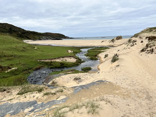
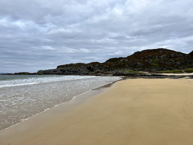
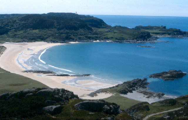
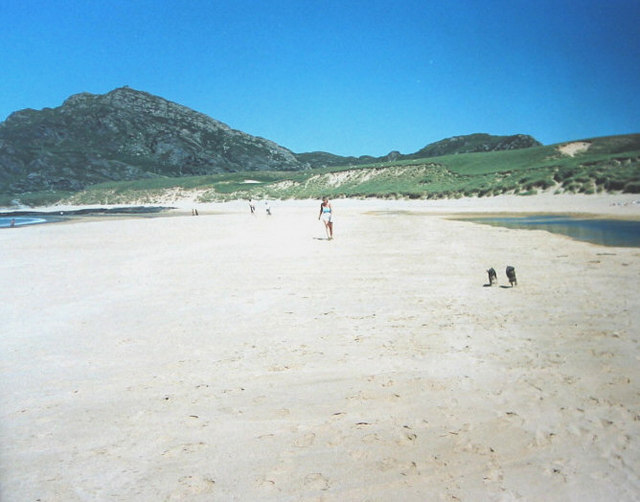
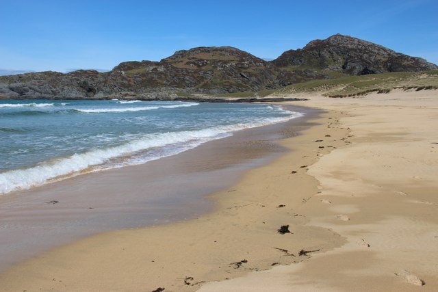
Situated on the western coast of Argyllshire, Cailleach Uragaig is characterized by its rugged cliffs, rocky outcrops, and a diverse range of marine and bird life. The headland is known for its dramatic and breathtaking scenery, attracting visitors from near and far who come to admire its natural beauty.
The coastal feature offers visitors unparalleled panoramic views of the surrounding landscape, including the vast expanse of the Atlantic Ocean and the nearby islands. The cliffs provide nesting grounds for various seabirds, making it a popular spot for birdwatching enthusiasts.
In addition to its natural beauty, Cailleach Uragaig has historical significance as well. The area is believed to have been inhabited since ancient times, with archaeological evidence suggesting human presence dating back thousands of years. These historical remnants add an extra layer of intrigue to the already captivating landscape.
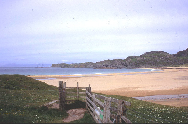
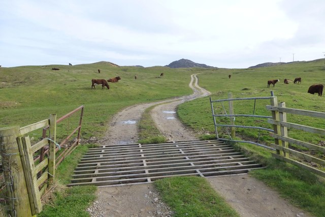
Cailleach Uragaig is easily accessible by foot or by car, with well-maintained paths and roads leading to the headland. Visitors can enjoy leisurely walks along the cliff edges, taking in the breathtaking views and immersing themselves in the tranquil atmosphere.
Overall, Cailleach Uragaig is a must-visit coastal feature in Argyllshire, offering a perfect blend of natural beauty, historical significance, and a touch of enchantment.
If you have any feedback on the listing, please let us know in the comments section below.
Cailleach Uragaig Images
Images are sourced within 2km of 56.104586/-6.209354 or Grid Reference NR3898. Thanks to Geograph Open Source API. All images are credited.


Cailleach Uragaig is located at Grid Ref: NR3898 (Lat: 56.104586, Lng: -6.209354)
Unitary Authority: Argyll and Bute
Police Authority: Argyll and West Dunbartonshire
What 3 Words
///fingertip.wove.expired. Near Scalasaig, Argyll & Bute
Nearby Locations
Related Wikis

Dùn Uragaig
Dùn Uragaig is a clifftop promontory fort located on the Inner Hebridean island of Colonsay, Scotland. The site is located at grid reference NR38169826...
Dùn Tealtaig
Dùn Tealtaig is a promontory fort located on the Inner Hebridean island of Colonsay, Scotland. The site is located at grid reference NR38909839.The fort...

Loch an Sgoltaire
Loch an Sgoltaire is an impounding reservoir located on the Inner Hebridean island of Colonsay, Scotland. It is located at grid reference NR386972, northwest...

Colonsay House
Colonsay House is a Georgian country house on the island of Colonsay, in the Scottish Inner Hebrides. It is a Category B listed building, and is now in...
Nearby Amenities
Located within 500m of 56.104586,-6.209354Have you been to Cailleach Uragaig?
Leave your review of Cailleach Uragaig below (or comments, questions and feedback).