The Oa

Coastal Feature, Headland, Point in Argyllshire

Scotland

The Oa

Unsurfaced public road near to Kinnabus The road serves farms on The Oa but is also the access for the RSPB reserve on the peninsula.
Unsurfaced public road near to Kinnabus Credit: Trevor Littlewood

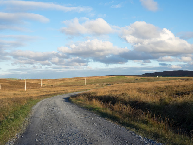
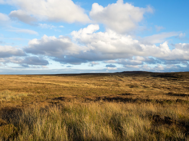
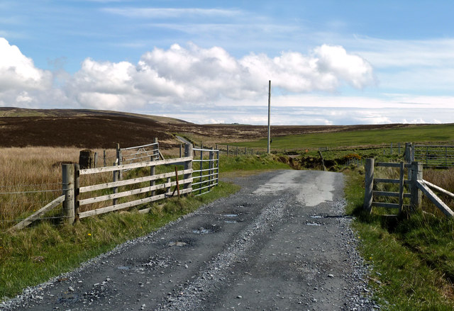
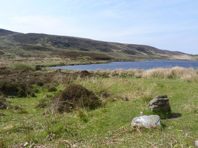
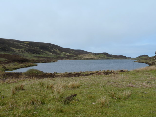
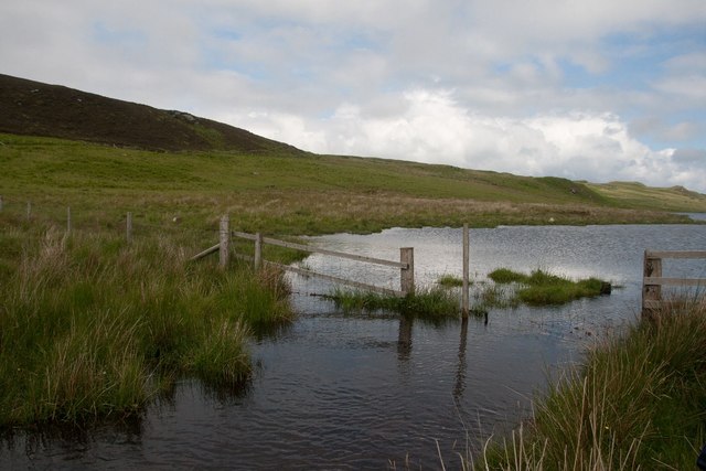
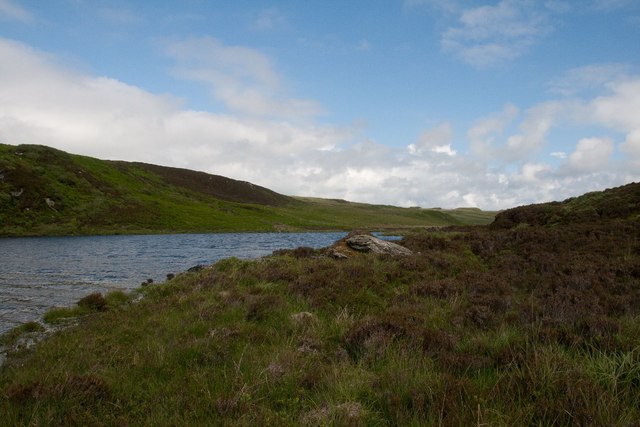
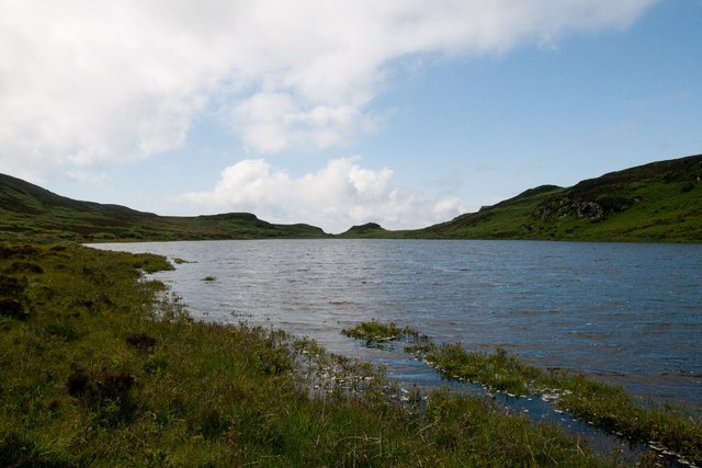
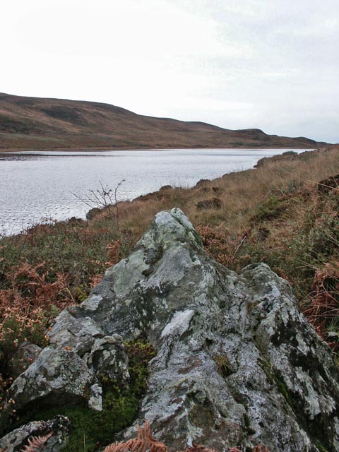
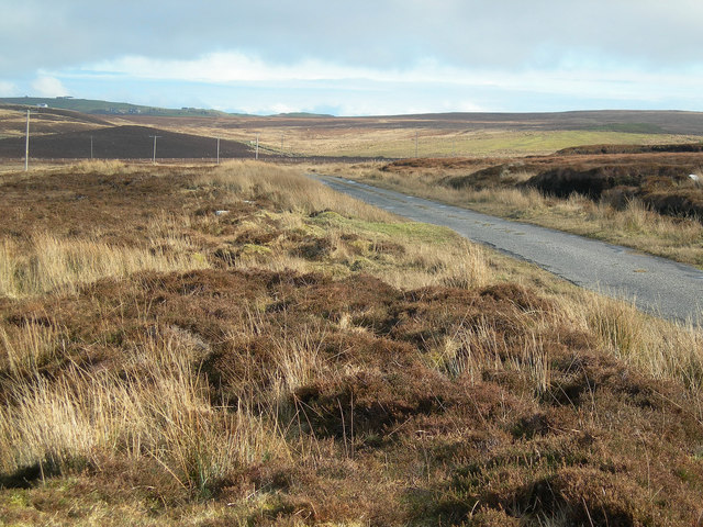
The Oa is a stunning coastal feature located in Argyllshire, a county in the western region of Scotland. It is specifically situated on the southernmost point of the Isle of Islay, an island known for its picturesque landscapes and rich cultural heritage. The Oa is a headland that stretches out into the Atlantic Ocean, offering breathtaking views of the surrounding waters and the nearby island of Ireland.

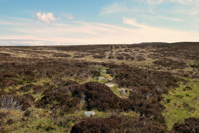
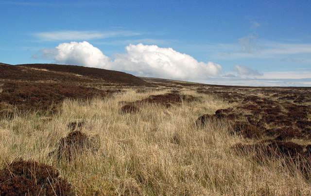
This coastal feature is characterized by its rugged cliffs, which rise dramatically from the sea, creating a sense of awe and wonder for visitors lucky enough to witness its beauty. The cliffs of The Oa are composed of ancient rocks, displaying layers of sedimentary formations that provide valuable insights into the geological history of the area.

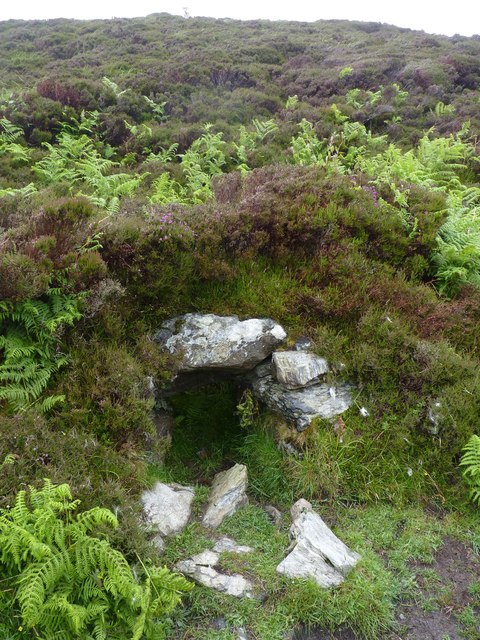
The Oa is also home to an abundance of wildlife, making it a popular spot for nature enthusiasts and birdwatchers. The area is known for its diverse bird population, including species such as the golden eagle, peregrine falcon, and chough. The headland is also home to the critically endangered chough, which has found a sanctuary in the cliffs of The Oa.

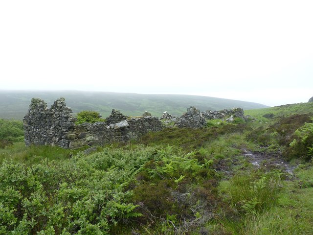
In addition to its natural wonders, The Oa holds historical significance as well. It is home to the American Monument, a memorial dedicated to the men of the United States who lost their lives in two tragic maritime incidents during World War I. The monument serves as a reminder of the close ties between the United States and Scotland.

Overall, The Oa in Argyllshire is a remarkable coastal feature that offers a unique blend of natural beauty, diverse wildlife, and historical importance. It is a must-visit destination for those seeking a truly unforgettable experience on the Isle of Islay.

If you have any feedback on the listing, please let us know in the comments section below.

The Oa Images

Images are sourced within 2km of 55.615169/-6.2782921 or Grid Reference NR3044. Thanks to Geograph Open Source API. All images are credited.

Unsurfaced public road near to Kinnabus The road serves farms on The Oa but is also the access for the RSPB reserve on the peninsula.
Unsurfaced public road near to Kinnabus
The road serves farms on The Oa but is also the access for the RSPB reserve on the peninsula.
Moorland with rushes on The Oa The Oa, a peninsula at the south end of Islay, is largely as at this location,  a moorland area. The view is eastwards from the only public road which generally runs west to east.
Moorland with rushes on The Oa
The Oa, a peninsula at the south end of Islay, is largely as at this location, a moorland area. The view is eastwards from the only public road which generally runs west to east.
Approaching Glenavulin The start of the tarmac road on Islay's Oa peninsula.
Approaching Glenavulin
The start of the tarmac road on Islay's Oa peninsula.
Old Gate Post At first I thought that I had found the standing stone that's shown on the maps but it was only an old concrete gate post.
Old Gate Post
At first I thought that I had found the standing stone that's shown on the maps but it was only an old concrete gate post.
Old Moorland Dyke Now tumbled down and overgrown, this old boundary can still be traced across the moor.
Old Moorland Dyke
Now tumbled down and overgrown, this old boundary can still be traced across the moor.
Old Moorland Bridge I had gone into the moor in search of a standing stone and, at first, thought that I had found it. However, it was only the remains of a field boundary dyke crossing a moorland burn.
Old Moorland Bridge
I had gone into the moor in search of a standing stone and, at first, thought that I had found it. However, it was only the remains of a field boundary dyke crossing a moorland burn.
No Standing Stone I had gone into the moor to look for the standing stone that's shown on the maps but I couldn't find it at all. It might have fallen or it could have become overgrown and hidden by heather.
No Standing Stone
I had gone into the moor to look for the standing stone that's shown on the maps but I couldn't find it at all. It might have fallen or it could have become overgrown and hidden by heather.
Lower Glenastle Loch, Islay
Fang Dhu, Islay
Fang Dhu, Islay
Lower Glenastle Loch Lower Glenastle Loch on Islay
Lower Glenastle Loch
Lower Glenastle Loch on Islay
Kiln at Tornabakin, Glen Astle, Islay Tornabakin is one of many abandoned, ruined villages on The Oa peninsula on Islay.
Kiln at Tornabakin, Glen Astle, Islay
Tornabakin is one of many abandoned, ruined villages on The Oa peninsula on Islay.
An Tairbeart, Glen Astle, Islay Having walked round the southern shores of the lochs, we discovered that crossing at An Tairbeart on foot was even more impossible than our walk had been!
An Tairbeart, Glen Astle, Islay
Having walked round the southern shores of the lochs, we discovered that crossing at An Tairbeart on foot was even more impossible than our walk had been!
Boulder on the southern shores of Lower Glen Astle Loch, Islay For anyone thinking of attempting to walk the southern shores of these lochs - don't!
Boulder on the southern shores of Lower Glen Astle Loch, Islay
For anyone thinking of attempting to walk the southern shores of these lochs - don't!
Lower Glen Astle Loch, Islay
Tornabakin, Glen Astle, Islay This is one of many abandoned, ruined villages on Islay.
Tornabakin, Glen Astle, Islay
This is one of many abandoned, ruined villages on Islay.
Glenastle Loch, Islay The outflow shown in the foreground flows to the adjacent Lower Glenastle Loch.
Glenastle Loch, Islay
The outflow shown in the foreground flows to the adjacent Lower Glenastle Loch.
Lower Glenastle Loch, Islay
Across the Moor The road from Lower and Upper Killeyan and the Mull of Oa.
Across the Moor
The road from Lower and Upper Killeyan and the Mull of Oa.
Show me another place!

The Oa is located at Grid Ref: NR3044 (Lat: 55.615169, Lng: -6.2782921)

Unitary Authority: Argyll and Bute

Police Authority: Argyll and West Dunbartonshire

What 3 Words

///tasty.excusing.hurtles. Near Port Ellen, Argyll & Bute

Related Wikis

The Oa

The Oa ( OH) (Scottish Gaelic: An Obha) is a rocky peninsula in the southwest of the island of Islay, in Argyll, Scotland. It is an RSPB nature reserve...

Eas Mòr, upper

Eas Mor is a waterfall is a waterfall on the Abhainn Ghil on the island of Islay in Scotland. It lies on The Oa peninsula south of Giol and west of Lenavore...

Eas Mòr, lower

Eas Mor (lower) is a waterfall on the Abhainn Ghil on the island of Islay, in Scotland. It lies on the west coast of The Oa peninsula north of Lower Killeyan...

Machrie golf course

The Machrie Golf Course, or "The Machrie Links", is located on Islay, in Scotland. The word "machrie" is a corruption of the Scottish Gaelic machair, which...

Nearby Amenities

Located within 500m of 55.615169,-6.2782921
Power: pole
Lat/Long: 55.6125531/-6.2774286
Power: pole
Lat/Long: 55.613137/-6.2749826
Power: pole
Lat/Long: 55.6134731/-6.2736075
Power: pole
Lat/Long: 55.6138098/-6.2721971
Power: pole
Lat/Long: 55.614125/-6.2708149
Power: pole
Lat/Long: 55.6122748/-6.2785831
Power: pole
Lat/Long: 55.6120113/-6.2796757
Power: pole
Lat/Long: 55.6117244/-6.2808658
Power: pole
Lat/Long: 55.6114418/-6.2820379
The data included in this document is from www.openstreetmap.org. The data is made available under ODbL.

Have you been to The Oa?

Leave your review of The Oa below (or comments, questions and feedback).