Cnoc Mòr h-Innil

Hill, Mountain in Argyllshire

Scotland

Cnoc Mòr h-Innil

Moorland with rushes on The Oa The Oa, a peninsula at the south end of Islay, is largely as at this location,  a moorland area. The view is eastwards from the only public road which generally runs west to east.
Moorland with rushes on The Oa Credit: Trevor Littlewood

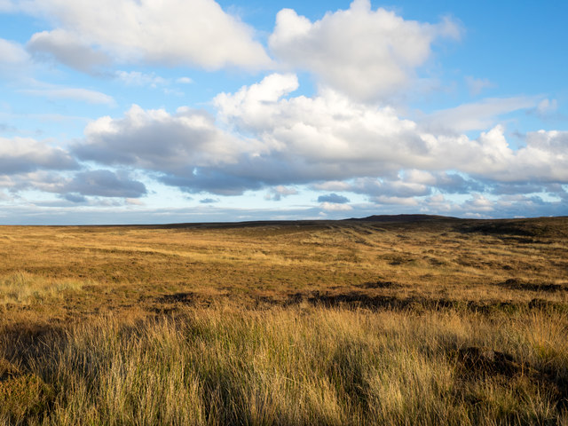
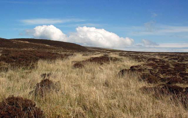
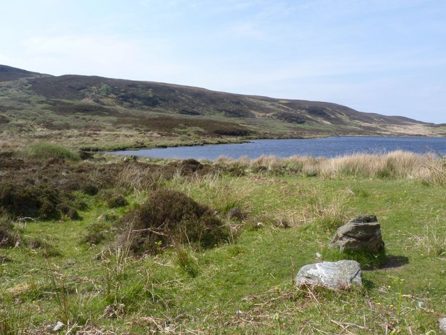
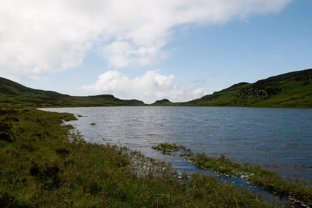
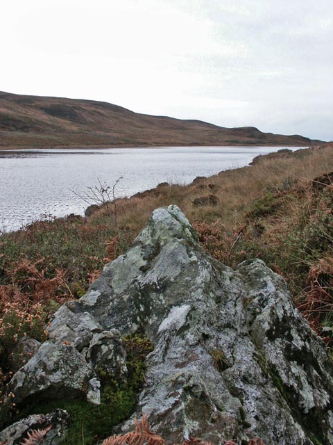
Cnoc Mòr h-Innil, located in Argyllshire, Scotland, is a prominent hill/mountain standing at an elevation of approximately 1,540 feet (470 meters) above sea level. It is situated in a remote and picturesque area, surrounded by rugged landscapes and offering breathtaking views of the surrounding countryside.

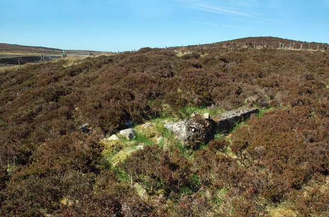
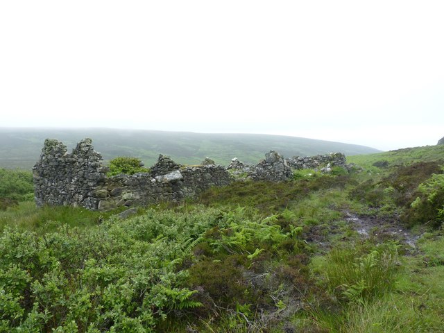
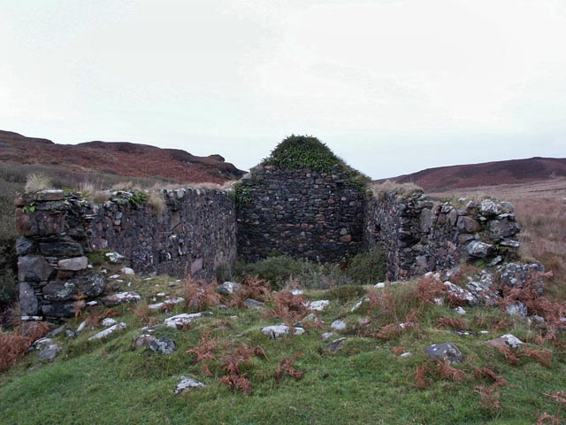
The hill/mountain is known for its distinctive shape, with a gentle, grassy slope leading up to a rocky summit. It is part of a range of hills in the area, offering a variety of walking and hiking opportunities for outdoor enthusiasts.

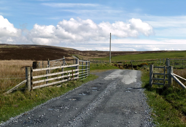
The ascent up Cnoc Mòr h-Innil is relatively moderate, making it accessible to both experienced hikers and those with less experience. The path to the top is well-defined, allowing for a rewarding and enjoyable climb. Along the way, walkers can encounter a diverse range of flora and fauna, including heather, wildflowers, and various bird species.

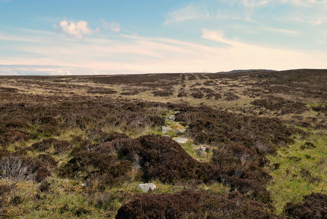
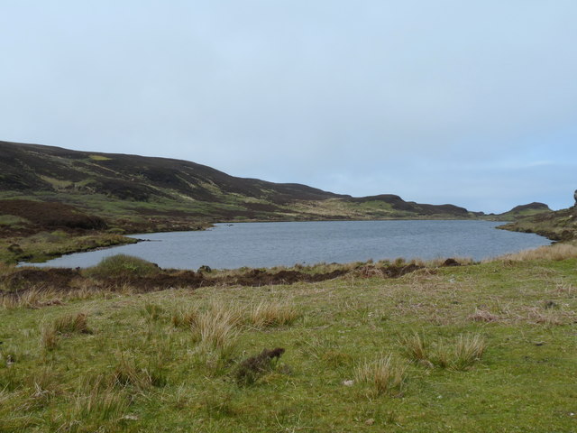
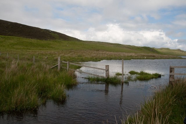
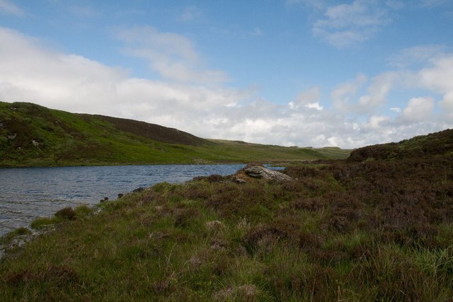
Once at the summit, visitors are rewarded with stunning panoramic views of the surrounding Argyllshire countryside, including nearby lochs, rolling hills, and distant mountains. On clear days, it is possible to see as far as the Isle of Mull and the Inner Hebrides.

Cnoc Mòr h-Innil is a popular destination for outdoor enthusiasts seeking tranquility and natural beauty. Its remote location and serene atmosphere make it an ideal spot for hiking, photography, and simply immersing oneself in the peacefulness of the Scottish Highlands.

If you have any feedback on the listing, please let us know in the comments section below.

Cnoc Mòr h-Innil Images

Images are sourced within 2km of 55.619254/-6.2802955 or Grid Reference NR3044. Thanks to Geograph Open Source API. All images are credited.

Moorland with rushes on The Oa The Oa, a peninsula at the south end of Islay, is largely as at this location,  a moorland area. The view is eastwards from the only public road which generally runs west to east.
Moorland with rushes on The Oa
The Oa, a peninsula at the south end of Islay, is largely as at this location, a moorland area. The view is eastwards from the only public road which generally runs west to east.
Approaching Glenavulin The start of the tarmac road on Islay's Oa peninsula.
Approaching Glenavulin
The start of the tarmac road on Islay's Oa peninsula.
Old Gate Post At first I thought that I had found the standing stone that's shown on the maps but it was only an old concrete gate post.
Old Gate Post
At first I thought that I had found the standing stone that's shown on the maps but it was only an old concrete gate post.
Old Moorland Dyke Now tumbled down and overgrown, this old boundary can still be traced across the moor.
Old Moorland Dyke
Now tumbled down and overgrown, this old boundary can still be traced across the moor.
Old Moorland Bridge I had gone into the moor in search of a standing stone and, at first, thought that I had found it. However, it was only the remains of a field boundary dyke crossing a moorland burn.
Old Moorland Bridge
I had gone into the moor in search of a standing stone and, at first, thought that I had found it. However, it was only the remains of a field boundary dyke crossing a moorland burn.
No Standing Stone I had gone into the moor to look for the standing stone that's shown on the maps but I couldn't find it at all. It might have fallen or it could have become overgrown and hidden by heather.
No Standing Stone
I had gone into the moor to look for the standing stone that's shown on the maps but I couldn't find it at all. It might have fallen or it could have become overgrown and hidden by heather.
Lower Glenastle Loch, Islay
Watermill, Glenastle, Islay There are many ruined villages and buildings on the Oa peninsula in south-west Islay. The population of this part of the island in 1830 was around 1500 - there's probably about a tenth of that number now! It is a very poignant experience to wander round this lonely, but beautiful, peninsula and think of times past and yet see the current living world all around which hasn't changed for centuries.
Watermill, Glenastle, Islay
There are many ruined villages and buildings on the Oa peninsula in south-west Islay. The population of this part of the island in 1830 was around 1500 - there's probably about a tenth of that number now! It is a very poignant experience to wander round this lonely, but beautiful, peninsula and think of times past and yet see the current living world all around which hasn't changed for centuries.
Fang Dhu, Islay
Fang Dhu, Islay
Lower Glenastle Loch Lower Glenastle Loch on Islay
Lower Glenastle Loch
Lower Glenastle Loch on Islay
Kiln at Tornabakin, Glen Astle, Islay Tornabakin is one of many abandoned, ruined villages on The Oa peninsula on Islay.
Kiln at Tornabakin, Glen Astle, Islay
Tornabakin is one of many abandoned, ruined villages on The Oa peninsula on Islay.
An Tairbeart, Glen Astle, Islay Having walked round the southern shores of the lochs, we discovered that crossing at An Tairbeart on foot was even more impossible than our walk had been!
An Tairbeart, Glen Astle, Islay
Having walked round the southern shores of the lochs, we discovered that crossing at An Tairbeart on foot was even more impossible than our walk had been!
Boulder on the southern shores of Lower Glen Astle Loch, Islay For anyone thinking of attempting to walk the southern shores of these lochs - don't!
Boulder on the southern shores of Lower Glen Astle Loch, Islay
For anyone thinking of attempting to walk the southern shores of these lochs - don't!
Lower Glen Astle Loch, Islay
Tornabakin, Glen Astle, Islay This is one of many abandoned, ruined villages on Islay.
Tornabakin, Glen Astle, Islay
This is one of many abandoned, ruined villages on Islay.
Glenastle Loch, Islay The outflow shown in the foreground flows to the adjacent Lower Glenastle Loch.
Glenastle Loch, Islay
The outflow shown in the foreground flows to the adjacent Lower Glenastle Loch.
Lower Glenastle Loch, Islay
Watermill, Lower Glen Astle, Islay The National Monuments Record of Scotland shows this building to have been a watermill with a vertical wheel.
Watermill, Lower Glen Astle, Islay
The National Monuments Record of Scotland shows this building to have been a watermill with a vertical wheel.
Show me another place!

Cnoc Mòr h-Innil is located at Grid Ref: NR3044 (Lat: 55.619254, Lng: -6.2802955)

Unitary Authority: Argyll and Bute

Police Authority: Argyll and West Dunbartonshire

What 3 Words

///shoving.trembles.quietly. Near Port Ellen, Argyll & Bute

Related Wikis

The Oa

The Oa ( OH) (Scottish Gaelic: An Obha) is a rocky peninsula in the southwest of the island of Islay, in Argyll, Scotland. It is an RSPB nature reserve...

Eas Mòr, upper

Eas Mor is a waterfall is a waterfall on the Abhainn Ghil on the island of Islay in Scotland. It lies on The Oa peninsula south of Giol and west of Lenavore...

Eas Mòr, lower

Eas Mor (lower) is a waterfall on the Abhainn Ghil on the island of Islay, in Scotland. It lies on the west coast of The Oa peninsula north of Lower Killeyan...

Machrie golf course

The Machrie Golf Course, or "The Machrie Links", is located on Islay, in Scotland. The word "machrie" is a corruption of the Scottish Gaelic machair, which...

Have you been to Cnoc Mòr h-Innil?

Leave your review of Cnoc Mòr h-Innil below (or comments, questions and feedback).