Tòn Mhòr
Coastal Feature, Headland, Point in Argyllshire
Scotland
Tòn Mhòr
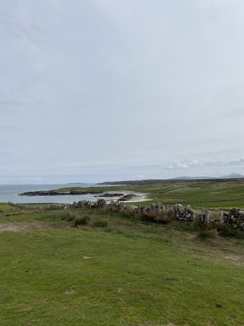
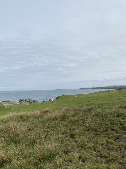
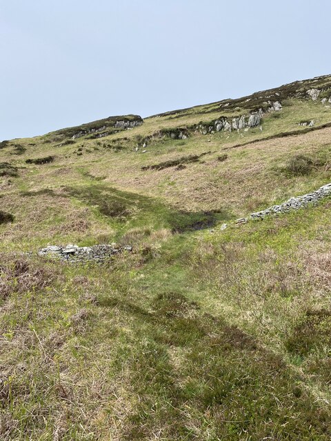
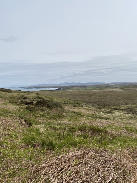
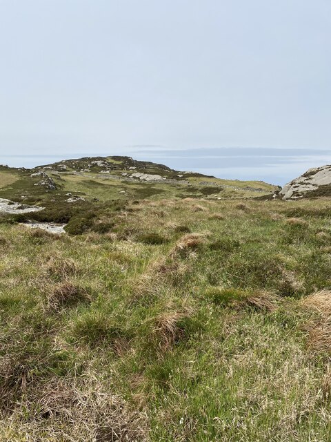
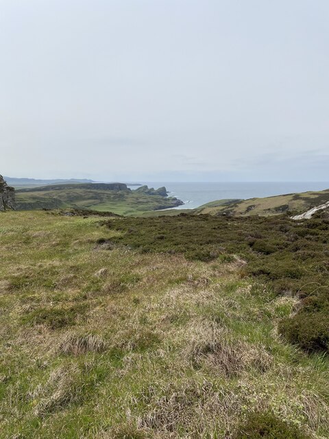
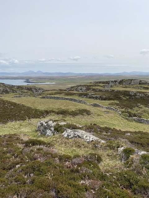
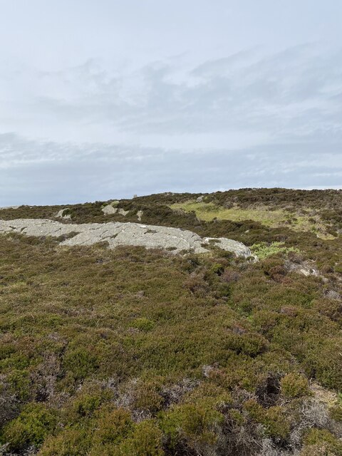
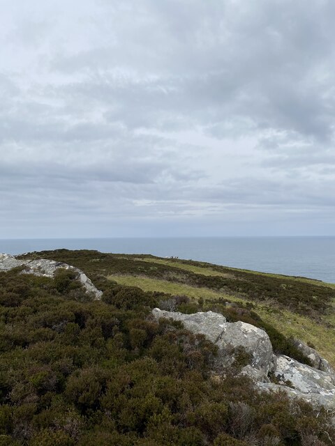
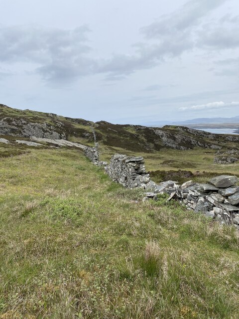
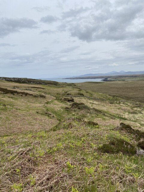
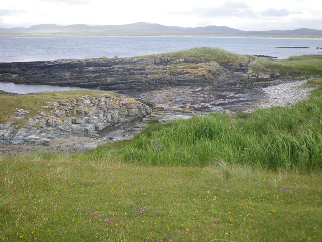
Tòn Mhòr is a prominent coastal feature located in Argyllshire, Scotland. It is classified as a headland and point, extending into the Atlantic Ocean. The headland is characterized by its rugged and rocky terrain, with towering cliffs that provide breathtaking views of the surrounding area.
Situated in a remote and picturesque part of Argyllshire, Tòn Mhòr boasts a diverse range of flora and fauna, making it an ideal destination for nature enthusiasts. The headland is home to a variety of seabirds, including gannets, puffins, and guillemots, which can be observed nesting along the cliffs during breeding season.
The area surrounding Tòn Mhòr is also renowned for its rich marine life. The crystal-clear waters off the coast are teeming with a wide array of fish species, making it a popular spot for anglers and divers. The headland is also frequented by seals, which can often be seen basking on the rocks or swimming in the nearby coves.
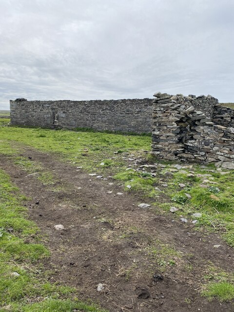
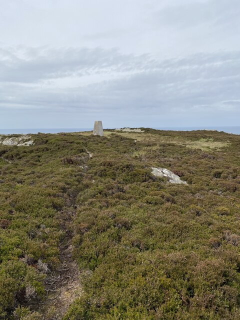
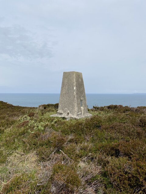
Access to Tòn Mhòr is possible via a well-maintained coastal path that winds its way along the cliffs, offering visitors stunning panoramic vistas of the Atlantic Ocean. The headland also features a small beach nestled in a sheltered cove, providing a tranquil spot for picnicking or sunbathing.
Overall, Tòn Mhòr in Argyllshire is a captivating coastal feature that showcases the raw beauty of Scotland's coastline. With its dramatic cliffs, diverse wildlife, and stunning ocean views, it offers visitors a unique and unforgettable experience in nature.
If you have any feedback on the listing, please let us know in the comments section below.
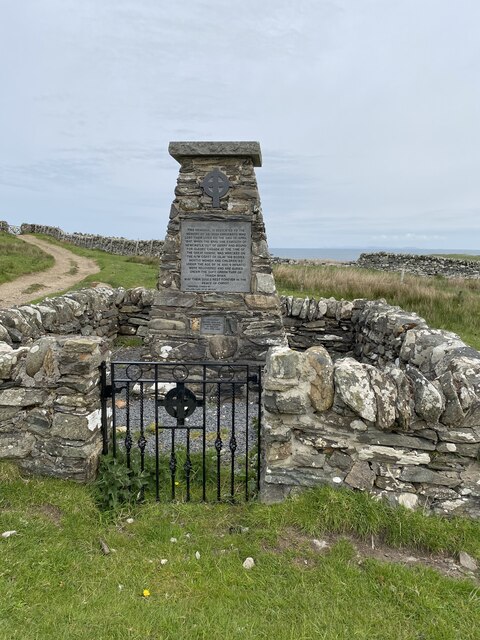
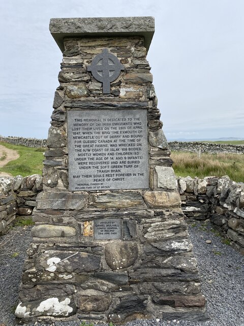
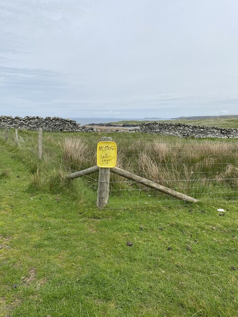
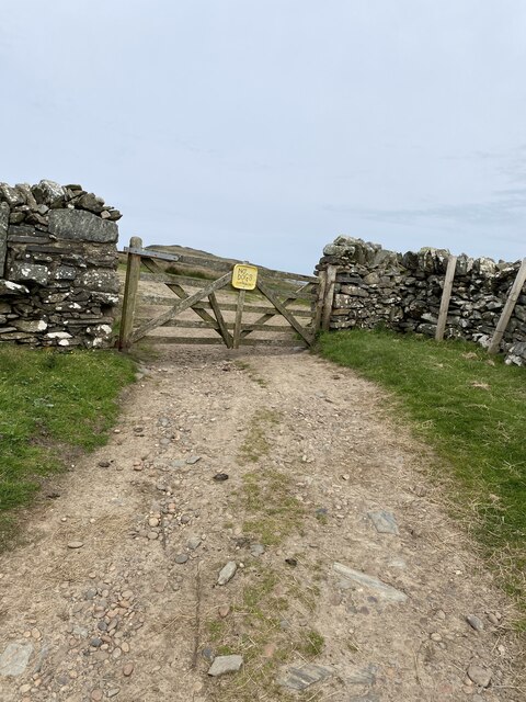
Tòn Mhòr Images
Images are sourced within 2km of 55.858599/-6.4262759 or Grid Reference NR2371. Thanks to Geograph Open Source API. All images are credited.
Tòn Mhòr is located at Grid Ref: NR2371 (Lat: 55.858599, Lng: -6.4262759)
Unitary Authority: Argyll and Bute
Police Authority: Argyll and West Dunbartonshire
What 3 Words
///relegate.zebra.vaccines. Near Bridgend, Argyll & Bute
Nearby Locations
Related Wikis

Battle of Traigh Ghruinneart
The Battle of Traigh Ghruinneart or in Scottish Gaelic Blàr Tràigh Ghruineart or sometimes called the Battle of Gruinart Strand was a Scottish clan battle...

Loch Gorm Castle
Loch Gorm Castle is a ruined castle located on Eilean Mòr (big island) on Loch Gorm, Islay, Scotland. It was once a stronghold of Clan Macdonald. The castle...

Loch Gruinart
Loch Gruinart (Scottish Gaelic: Loch Gruinneard from the Old Norse, meaning "shallow fjord") is a sea loch on the northern coast of isle of Islay in Scotland...
Ardnave Point
Ardnave Point (Scottish Gaelic, Àird an Naoimh) is a coastal promontory on the northwest of Islay, a Scottish island. This landform has a rocky northern...
Nearby Amenities
Located within 500m of 55.858599,-6.4262759Have you been to Tòn Mhòr?
Leave your review of Tòn Mhòr below (or comments, questions and feedback).