Rubha a' Mhiadair
Coastal Feature, Headland, Point in Argyllshire
Scotland
Rubha a' Mhiadair
The requested URL returned error: 429 Too Many Requests
If you have any feedback on the listing, please let us know in the comments section below.
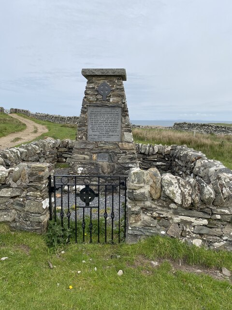
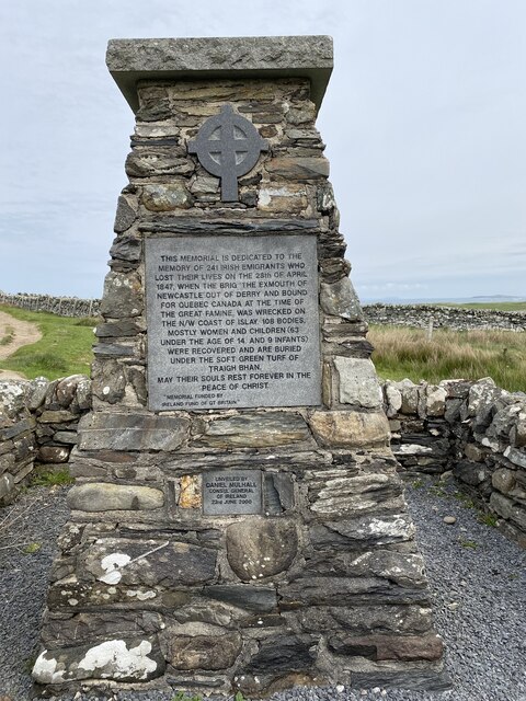
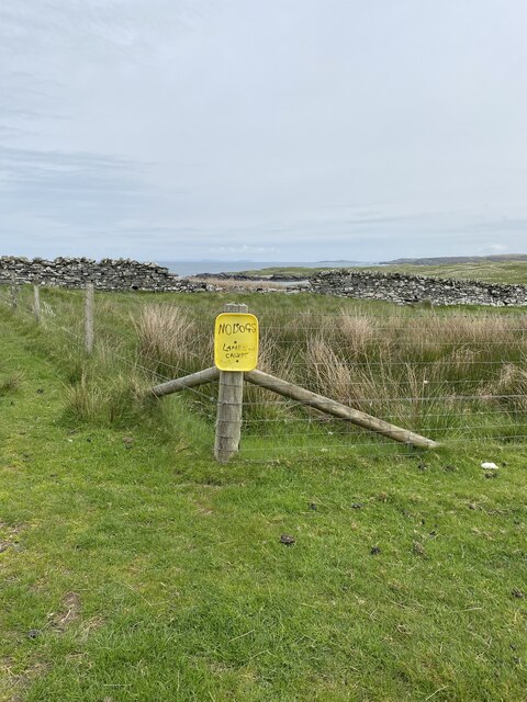
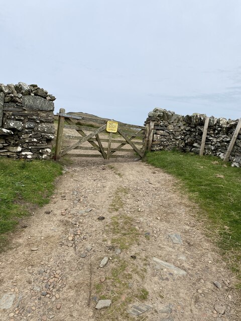
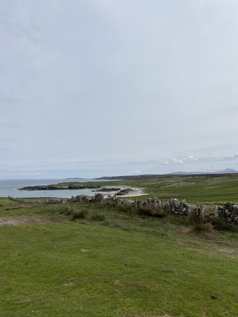
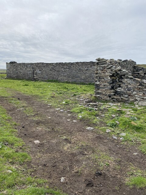
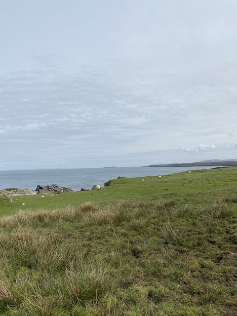
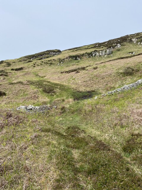
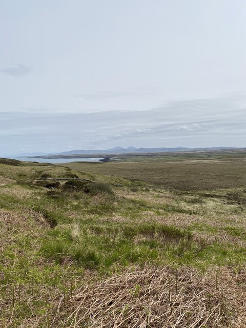
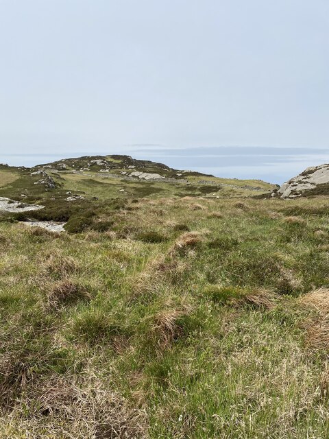
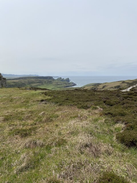
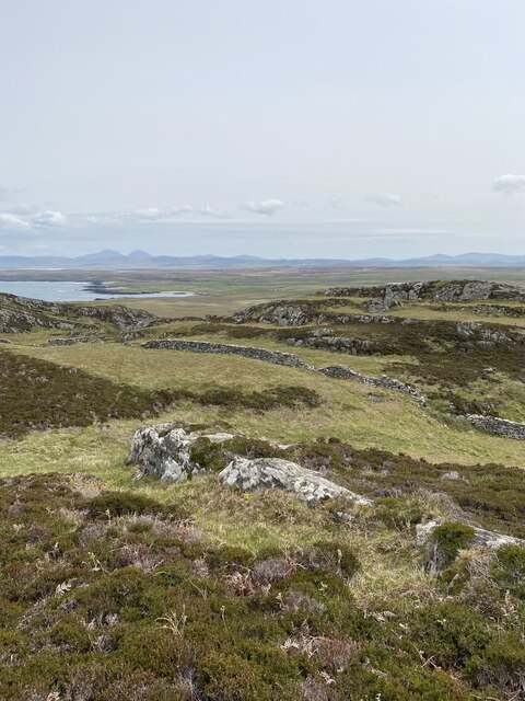
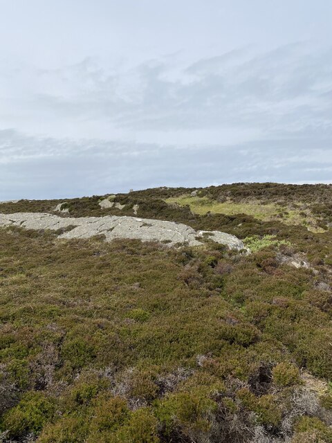
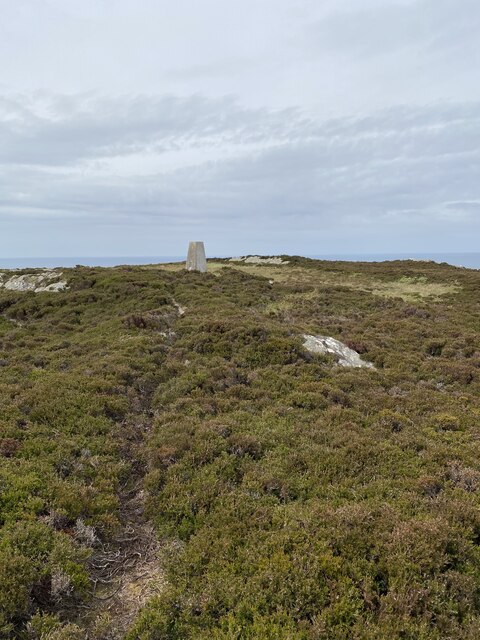
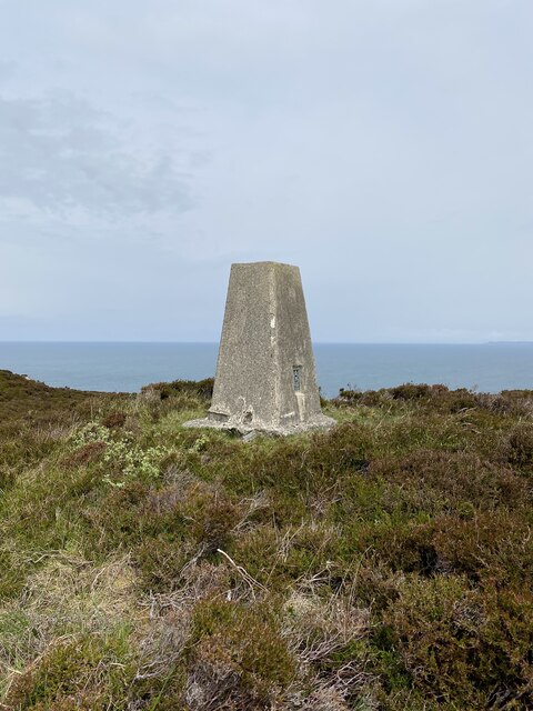
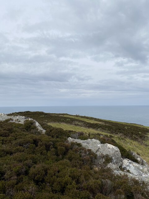
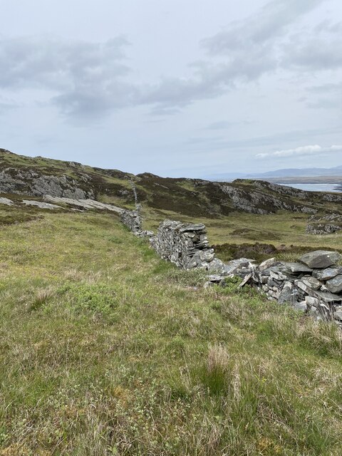
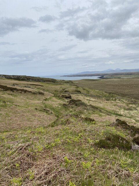
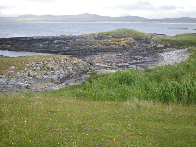
Rubha a' Mhiadair Images
Images are sourced within 2km of 55.855974/-6.4209875 or Grid Reference NR2371. Thanks to Geograph Open Source API. All images are credited.
Rubha a' Mhiadair is located at Grid Ref: NR2371 (Lat: 55.855974, Lng: -6.4209875)
Unitary Authority: Argyll and Bute
Police Authority: Argyll and West Dunbartonshire
What 3 Words
///eruptions.shady.colonies. Near Bridgend, Argyll & Bute
Nearby Locations
Related Wikis

Battle of Traigh Ghruinneart
The Battle of Traigh Ghruinneart or in Scottish Gaelic Blàr Tràigh Ghruineart or sometimes called the Battle of Gruinart Strand was a Scottish clan battle...

Loch Gorm Castle
Loch Gorm Castle is a ruined castle located on Eilean Mòr (big island) on Loch Gorm, Islay, Scotland. It was once a stronghold of Clan Macdonald. The castle...

Loch Gruinart
Loch Gruinart (Scottish Gaelic: Loch Gruinneard from the Old Norse, meaning "shallow fjord") is a sea loch on the northern coast of isle of Islay in Scotland...
Ardnave Point
Ardnave Point (Scottish Gaelic, Àird an Naoimh) is a coastal promontory on the northwest of Islay, a Scottish island. This landform has a rocky northern...
Nearby Amenities
Located within 500m of 55.855974,-6.4209875Have you been to Rubha a' Mhiadair?
Leave your review of Rubha a' Mhiadair below (or comments, questions and feedback).