Port nam Bàta
Sea, Estuary, Creek in Argyllshire
Scotland
Port nam Bàta
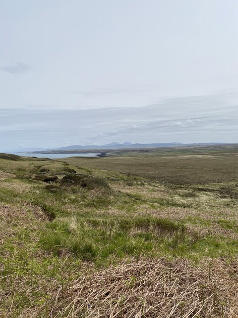
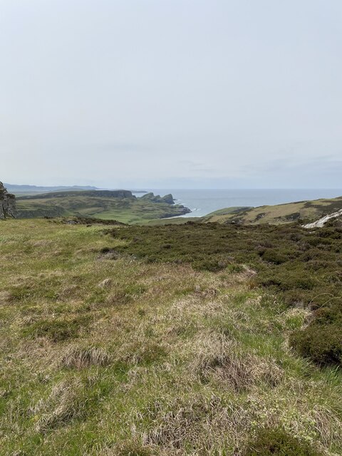
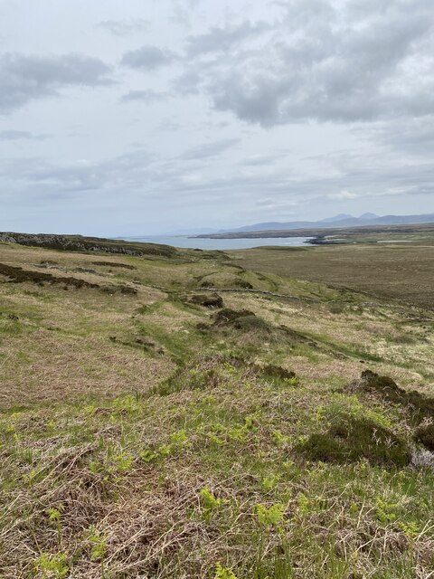
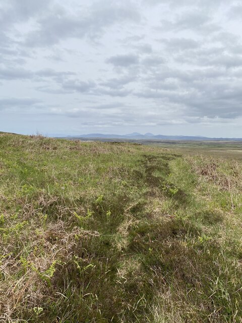
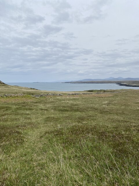
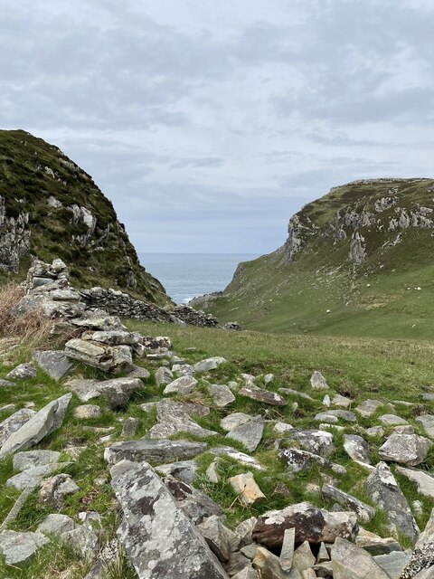
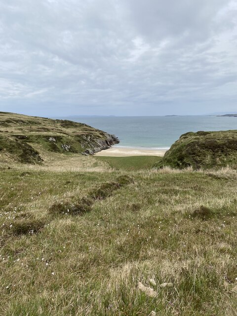
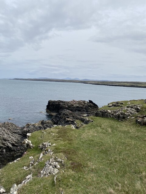
Port nam Bàta is a picturesque coastal village located in Argyllshire, Scotland. Situated on the western coast of Scotland, it is renowned for its stunning views of the sea, estuary, and creek. The name "Port nam Bàta" translates to "Port of the Boats" in Gaelic, reflecting the village's historical significance as a hub for maritime activities.
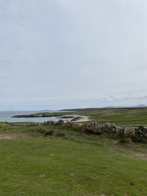
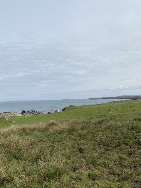
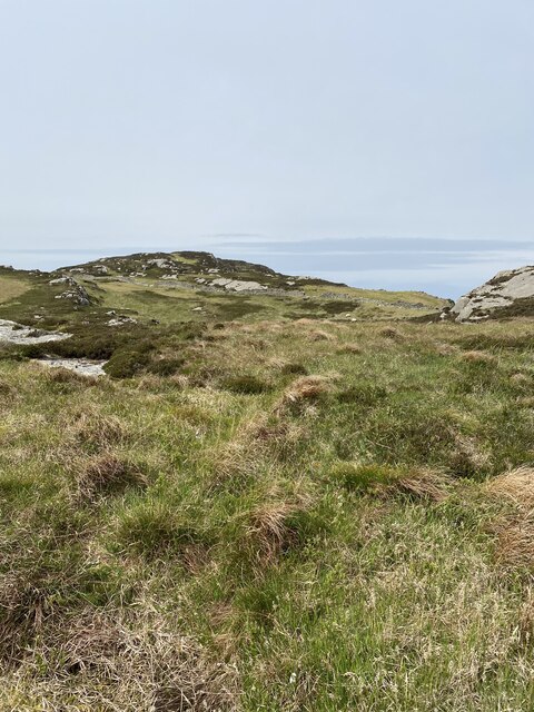
The village is nestled between rolling hills and serene coastal landscapes, offering a breathtaking panorama of the sea. The pristine waters of the surrounding sea provide a perfect setting for various water activities such as sailing, fishing, and kayaking. The estuary, formed by the meeting of a river and the sea, adds to the village's charm, providing a tranquil spot for birdwatching and leisurely walks along the shore.
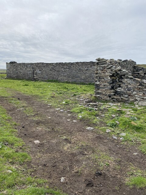
The creek at Port nam Bàta is a small inlet that offers shelter for boats and creates a natural harbor. It has played a significant role in the village's economy, serving as a docking point for fishing vessels and small boats throughout history. Even today, the creek continues to be a vital part of the village's identity, with fishing and boating activities being an integral part of the local culture.
Port nam Bàta is also known for its vibrant community, with friendly locals who take pride in their maritime heritage. Visitors to the village can enjoy traditional Scottish hospitality, explore the charming streets lined with colorful cottages, and sample fresh seafood at the local restaurants.
In summary, Port nam Bàta in Argyllshire is a scenic coastal village that offers a stunning blend of sea, estuary, and creek views. Its rich maritime history, picturesque landscapes, and vibrant community make it a must-visit destination for those seeking a tranquil coastal experience in Scotland.
If you have any feedback on the listing, please let us know in the comments section below.
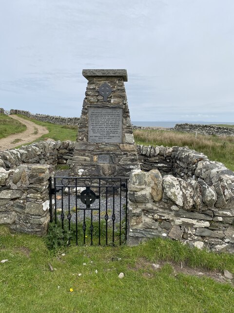
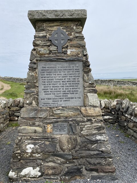
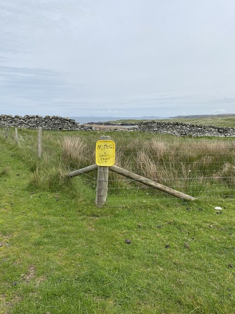
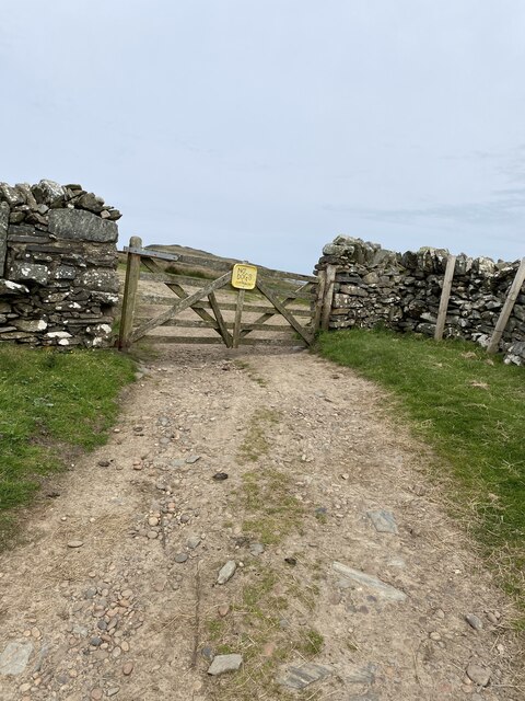
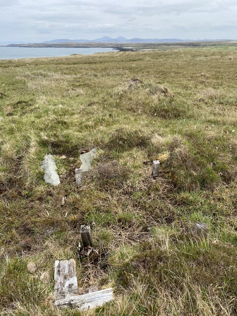
Port nam Bàta Images
Images are sourced within 2km of 55.853445/-6.4120328 or Grid Reference NR2371. Thanks to Geograph Open Source API. All images are credited.
Port nam Bàta is located at Grid Ref: NR2371 (Lat: 55.853445, Lng: -6.4120328)
Unitary Authority: Argyll and Bute
Police Authority: Argyll and West Dunbartonshire
What 3 Words
///parent.early.streamers. Near Bridgend, Argyll & Bute
Nearby Locations
Related Wikis

Battle of Traigh Ghruinneart
The Battle of Traigh Ghruinneart or in Scottish Gaelic Blàr Tràigh Ghruineart or sometimes called the Battle of Gruinart Strand was a Scottish clan battle...

Loch Gorm Castle
Loch Gorm Castle is a ruined castle located on Eilean Mòr (big island) on Loch Gorm, Islay, Scotland. It was once a stronghold of Clan Macdonald. The castle...

Loch Gruinart
Loch Gruinart (Scottish Gaelic: Loch Gruinneard from the Old Norse, meaning "shallow fjord") is a sea loch on the northern coast of isle of Islay in Scotland...

Gruinart Flats
The Gruinart Flats is a low-lying landform on the western part of the isle of Islay in Scotland. The locale is an important conservation area, having been...
Nearby Amenities
Located within 500m of 55.853445,-6.4120328Have you been to Port nam Bàta?
Leave your review of Port nam Bàta below (or comments, questions and feedback).