Màs na Garra

Coastal Feature, Headland, Point in Inverness-shire

Scotland

Màs na Garra

Steinis and sea between Scalpay and the Mainland View from Scalpay Bridge.
Steinis and sea between Scalpay and the Mainland Credit: Sandy Gerrard

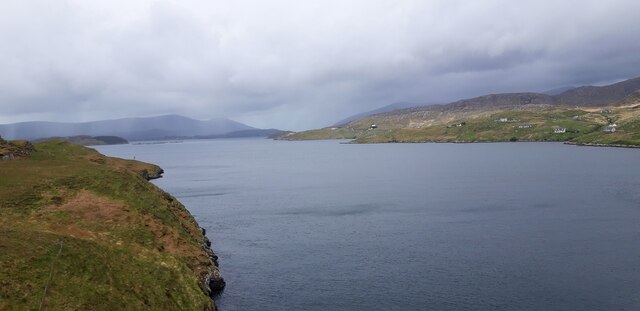
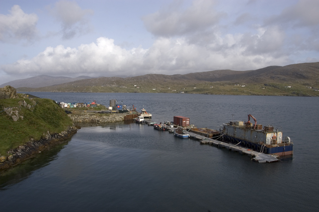
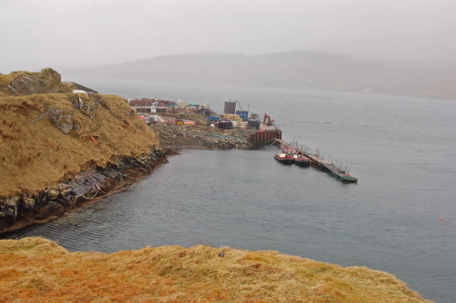
Màs na Garra is a prominent coastal feature located in Inverness-shire, Scotland. It is a headland or point that juts out into the North Atlantic Ocean, offering breathtaking views of the surrounding landscape.

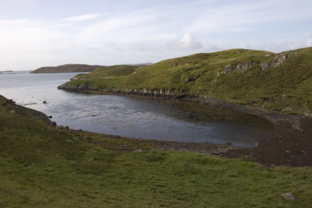
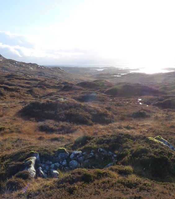
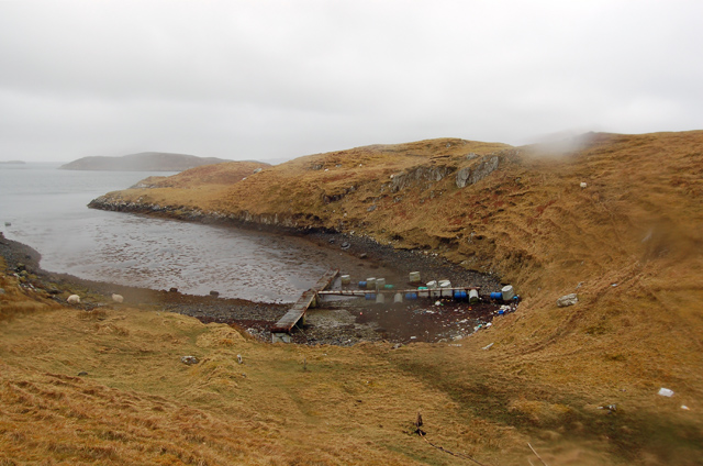
Situated at approximately 57° 50' 4" N, 5° 28' 37" W, Màs na Garra is characterized by its towering cliffs, rugged terrain, and rocky shoreline. The headland is composed of a variety of rock types, including granite and schist, which have been shaped by the erosive forces of the ocean over thousands of years.

The area is known for its diverse wildlife and is a popular spot for birdwatching. Visitors can often spot seabirds such as gannets, puffins, and kittiwakes soaring above the cliffs or nesting in the nooks and crannies. Additionally, seals and dolphins can sometimes be seen playing in the waters surrounding Màs na Garra.

Hiking enthusiasts are drawn to the headland for its challenging coastal trails, which offer stunning panoramic views of the ocean and the surrounding countryside. The area is also rich in archaeological sites, with ancient stone circles and burial mounds scattered throughout the landscape.

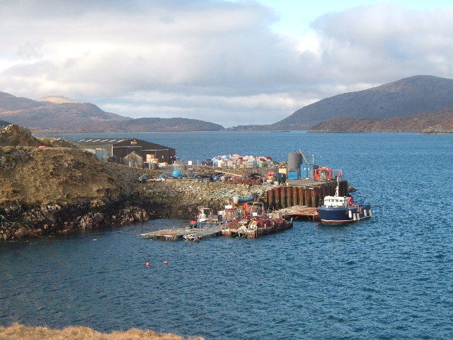
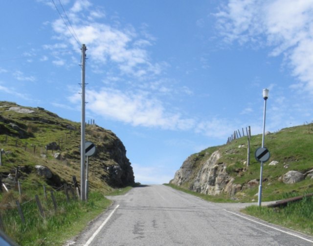
Màs na Garra is easily accessible by road, with a parking area located nearby. Visitors are advised to take caution while exploring the headland, as the cliffs can be steep and the terrain can be uneven. It is recommended to wear appropriate footwear and to follow any safety guidelines or signposts in the area.

If you have any feedback on the listing, please let us know in the comments section below.

Màs na Garra Images

Images are sourced within 2km of 57.885256/-6.7316256 or Grid Reference NG1998. Thanks to Geograph Open Source API. All images are credited.

Steinis and sea between Scalpay and the Mainland View from Scalpay Bridge.
Steinis and sea between Scalpay and the Mainland
View from Scalpay Bridge.
Caolas Scalpaigh, Black house and White house
Cuddy Point, Isle of Scalpay The pier at Cuddy Point, on the west side of Scalpay was built in 1899 and has historically served as the main landing point on the island for mail boats, supply vessels, fishing boats and - more recently - a growing number of fish farm vessels. 

Although there is now a local authority pier in the main village, this suffers from landing restrictions and Cuddy Point Pier - known locally as the Old Mail Boat Pier, is still widely used for deep-water landing of medium and large vessels.
Cuddy Point, Isle of Scalpay
The pier at Cuddy Point, on the west side of Scalpay was built in 1899 and has historically served as the main landing point on the island for mail boats, supply vessels, fishing boats and - more recently - a growing number of fish farm vessels. Although there is now a local authority pier in the main village, this suffers from landing restrictions and Cuddy Point Pier - known locally as the Old Mail Boat Pier, is still widely used for deep-water landing of medium and large vessels.
Corrugated iron house at Caolas Scalpaigh
Sunset from North Harbour Scalpay The sun dips into the Atlantic over West Loch Tarbert in distance
Sunset from North Harbour Scalpay
The sun dips into the Atlantic over West Loch Tarbert in distance
Small inlet on west coast of Scalpay
Pier, North Harbour, Scalpay
End of the Road at Aird an Aiseig
Looking over abandoned foundations to Loch an Tairbeairt At Ceann a' Ghàraidh from the road
Looking over abandoned foundations to Loch an Tairbeairt
At Ceann a' Ghàraidh from the road
View west along coast single-track with vernacular buildings
Looking east towards Caolas Scalpaigh with locals
Abandoned (?) House Quite a few apparently abandoned or falling-apart buildings on Harris & Lewis
Abandoned (?) House
Quite a few apparently abandoned or falling-apart buildings on Harris & Lewis
New-ish cutting with road near Ceann a' Ghàraidh
An ruined shieling The island of Scalpay can be seen in the background
An ruined shieling
The island of Scalpay can be seen in the background
Loch a' Bhuna
Loch a' Bhuna
Bagh na Muice An inlet on Scalpay. By September 2009 <a href="https://www.geograph.org.uk/photo/1514170">NG2096 : Small inlet on west coast of Scalpay</a> the pontoons had disappeared.
Bagh na Muice
An inlet on Scalpay. By September 2009 NG2096 : Small inlet on west coast of Scalpay the pontoons had disappeared.
The pier at Rubha nan Cudaigean
Narrows at entrance to Sgalpaigh North Harbour, Harris View to north-west with adjacent North Harris main island.
Narrows at entrance to Sgalpaigh North Harbour, Harris
View to north-west with adjacent North Harris main island.
Show me another place!

Màs na Garra is located at Grid Ref: NG1998 (Lat: 57.885256, Lng: -6.7316256)

Unitary Authority: Na h-Eileanan an Iar

Police Authority: Highlands and Islands

What 3 Words

///processor.ownership.rejoins. Near Tarbert, Na h-Eileanan Siar

Related Wikis

Sgeotasaigh

Scotasay (Scottish Gaelic: Sgeotasaigh) is small island in the Outer Hebrides of Scotland. It lies 1 kilometre (0.6 miles) off the east coast of Harris...

East Loch Tarbert

East Loch Tarbert (Scottish Gaelic: Loch an Tairbeairt) is a sea loch that lies to the east of Harris in the Outer Hebrides of Scotland. The loch contains...

Scalpay, Outer Hebrides

Scalpay (; Scottish Gaelic: Sgalpaigh or Sgalpaigh na Hearadh; i.e. "Scalpay of Harris" to distinguish it from Scalpay off Skye) is an island in the Outer...

Harris distillery

Harris distillery is a Scotch whisky and Gin distillery in Tarbert on the Isle of Harris, Scotland. The distillery was the first legal distillery ever...

Nearby Amenities

Located within 500m of 57.885256,-6.7316256
Carragraich
Alt Name En: Carragreich;Carragrich;Caragrich
Name En: Carrigreich
Name Gd: Carragraich
Place: hamlet
Lat/Long: 57.8892011/-6.7354526
Noexit: yes
Lat/Long: 57.8878015/-6.7310808
Bagh Charragraich
Natural: bay
Lat/Long: 57.8870007/-6.7358572
Material: wood
Power: pole
Lat/Long: 57.8890117/-6.728637
Material: wood
Power: pole
Lat/Long: 57.8879524/-6.7329393
Material: wood
Power: pole
Lat/Long: 57.8879309/-6.7345999
Material: wood
Power: pole
Lat/Long: 57.8877212/-6.733341
Material: wood
Power: pole
Lat/Long: 57.8866924/-6.7295926
Material: wood
Power: pole
Lat/Long: 57.8870041/-6.7320488
Material: wood
Power: pole
Lat/Long: 57.8874176/-6.7331834
Material: wood
Power: pole
Lat/Long: 57.8865864/-6.7308928
Material: wood
Power: pole
Lat/Long: 57.8864207/-6.7299445
Material: wood
Power: pole
Lat/Long: 57.8858471/-6.7249709
Material: wood
Power: pole
Lat/Long: 57.8859504/-6.7235936
Material: wood
Power: pole
Lat/Long: 57.8863018/-6.7274265
Power: pole
Lat/Long: 57.8857301/-6.7265651
Power: pole
Lat/Long: 57.886081/-6.7282591
Power: pole
Lat/Long: 57.8880435/-6.7368097
Power: pole
Lat/Long: 57.8864482/-6.7289623
Power: pole
Lat/Long: 57.8882152/-6.7324258
Power: pole
Lat/Long: 57.8863754/-6.7283446
The data included in this document is from www.openstreetmap.org. The data is made available under ODbL.

Have you been to Màs na Garra?

Leave your review of Màs na Garra below (or comments, questions and feedback).