Rubha na Mòine
Coastal Feature, Headland, Point in Inverness-shire
Scotland
Rubha na Mòine
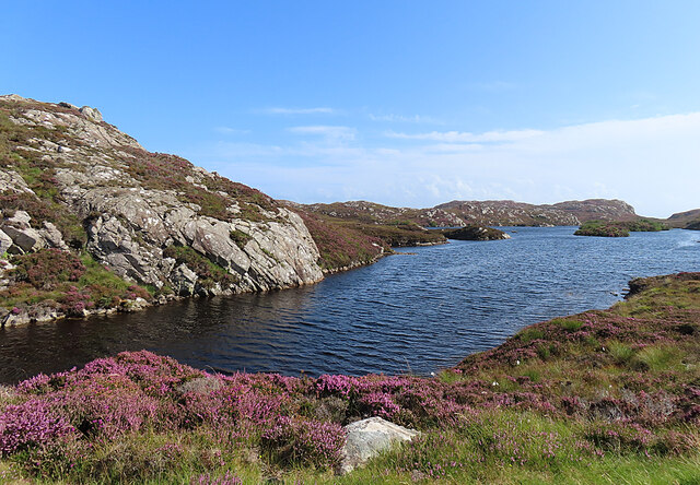
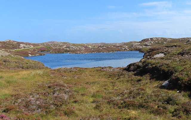
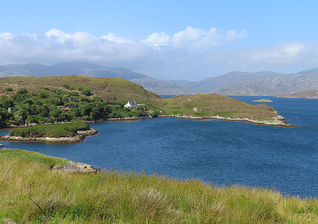
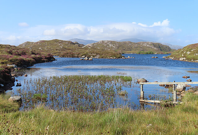
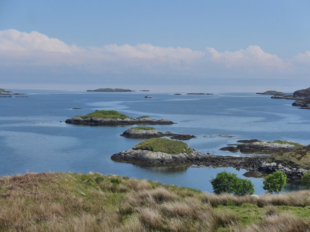
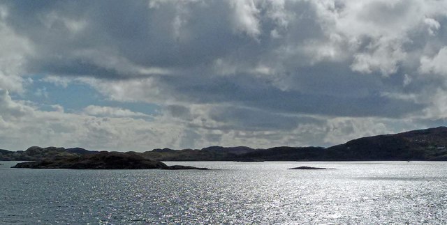
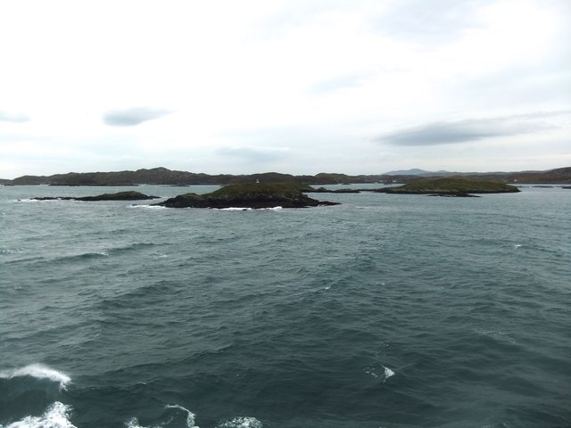
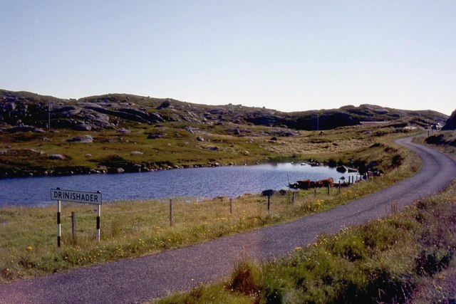
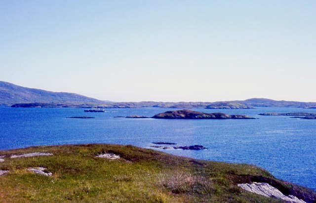
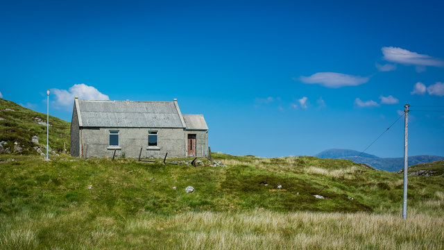
Rubha na Mòine is a prominent headland located in Inverness-shire, Scotland. Situated on the western coast of the Highlands, this coastal feature juts out into the Atlantic Ocean, offering breathtaking views and a dramatic landscape. The name "Rubha na Mòine" translates to "Point of the Peat" in Gaelic, reflecting the area's historical connection to peat harvesting.
This headland is characterized by its rugged cliffs, which rise steeply from the sea, providing a habitat for a diverse range of seabirds such as guillemots, razorbills, and puffins. The exposed nature of the headland also makes it an ideal spot for birdwatching and wildlife enthusiasts.
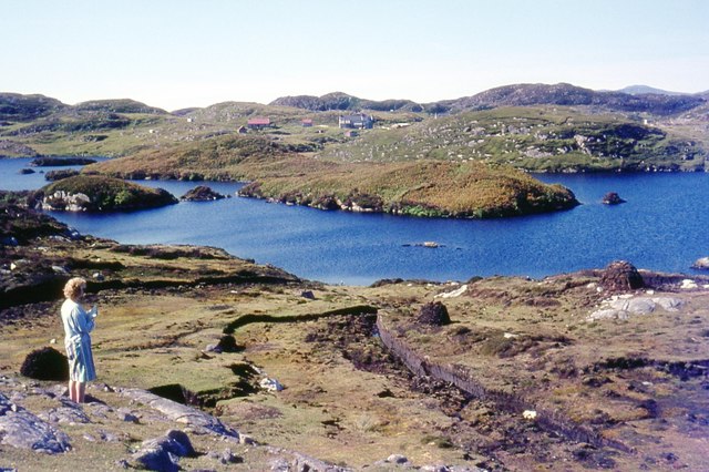
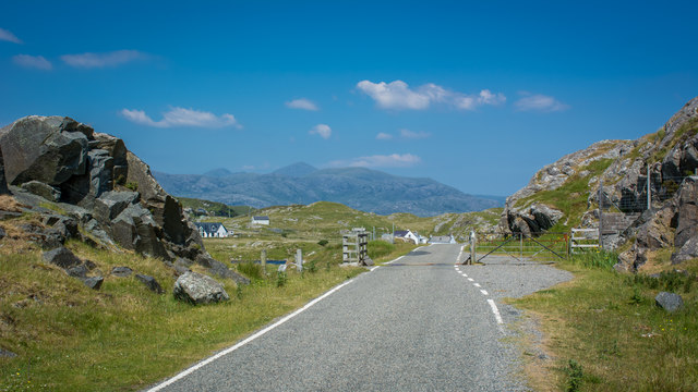
Rubha na Mòine is a popular destination for hikers and walkers, with several well-marked trails leading to the headland. These trails offer stunning views of the surrounding coastline and provide opportunities to observe the unique flora and fauna that thrive in the area, including heather, gorse, and wildflowers.
In addition to its natural beauty, Rubha na Mòine is also of historical significance. The headland is home to the ruins of a 19th-century lighthouse, which once guided ships through the treacherous waters of the North Atlantic. The lighthouse, now decommissioned, serves as a reminder of the area's maritime history.
Overall, Rubha na Mòine is a captivating coastal feature that combines breathtaking scenery, rich wildlife, and a touch of history. Whether one is a nature lover, history enthusiast, or simply seeking a peaceful retreat, this headland offers a unique and unforgettable experience on the rugged shores of Inverness-shire.
If you have any feedback on the listing, please let us know in the comments section below.
Rubha na Mòine Images
Images are sourced within 2km of 57.851828/-6.7635579 or Grid Reference NG1794. Thanks to Geograph Open Source API. All images are credited.

Rubha na Mòine is located at Grid Ref: NG1794 (Lat: 57.851828, Lng: -6.7635579)
Unitary Authority: Na h-Eileanan an Iar
Police Authority: Highlands and Islands
What 3 Words
///harmlessly.journals.movement. Near Tarbert, Na h-Eileanan Siar
Nearby Locations
Related Wikis

East Loch Tarbert
East Loch Tarbert (Scottish Gaelic: Loch an Tairbeairt) is a sea loch that lies to the east of Harris in the Outer Hebrides of Scotland. The loch contains...

Sgeotasaigh
Scotasay (Scottish Gaelic: Sgeotasaigh) is small island in the Outer Hebrides of Scotland. It lies 1 kilometre (0.6 miles) off the east coast of Harris...

Scalpay, Outer Hebrides
Scalpay (; Scottish Gaelic: Sgalpaigh or Sgalpaigh na Hearadh; i.e. "Scalpay of Harris" to distinguish it from Scalpay off Skye) is an island in the Outer...

Harris distillery
Harris distillery is a Scotch whisky and Gin distillery in Tarbert on the Isle of Harris, Scotland. The distillery was the first legal distillery ever...

Stockinish Island
Stockinish Island (Scottish Gaelic: Eilean Stocainis) is an uninhabited island off Harris, in the Outer Hebrides. == Geography and geology == Stockinish...

Tarbert, Harris
Tarbert (Scottish Gaelic: An Tairbeart [ən̪ˠ ˈt̪ɛrʲɛbərˠʃt̪]) is the main community on Harris in the Western Isles of Scotland. The name means "isthmus...
Eilean Glas, Scalpay
Eilean Glas is a peninsula of Scalpay in the Outer Hebrides, Scotland. Eilean Glas is home to a historic lighthouse. Eilean Glas means Grey/Green Island...

Eilean Glas Lighthouse
Eilean Glas Lighthouse is situated on the east coast of the island of Scalpay in the Outer Hebrides of Scotland. It was one of the original four lights...
Nearby Amenities
Located within 500m of 57.851828,-6.7635579Have you been to Rubha na Mòine?
Leave your review of Rubha na Mòine below (or comments, questions and feedback).