Rubha Dubh
Coastal Feature, Headland, Point in Ross-shire
Scotland
Rubha Dubh
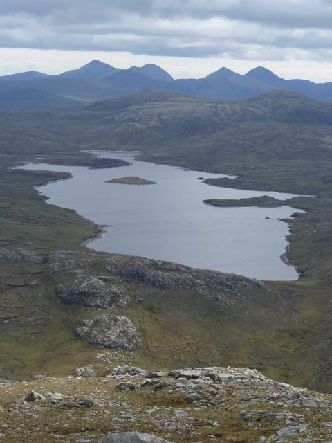
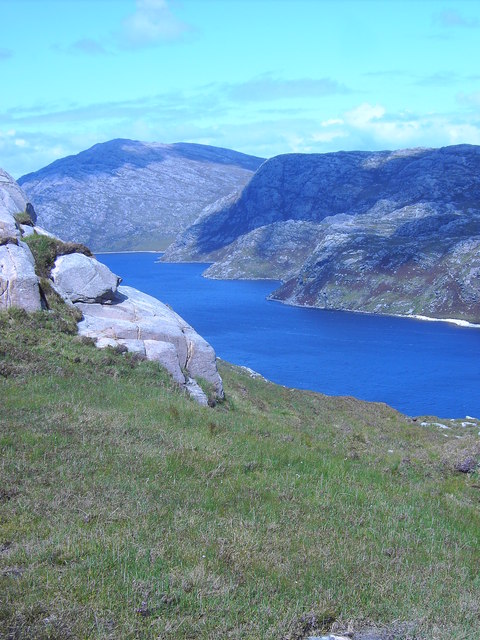
Rubha Dubh is a prominent coastal feature located in Ross-shire, Scotland. It is a headland or point that juts out into the North Atlantic Ocean, offering breathtaking views and natural beauty. The name "Rubha Dubh" translates to "Black Point" in English, which is derived from the dark-colored rocks that dominate the area.
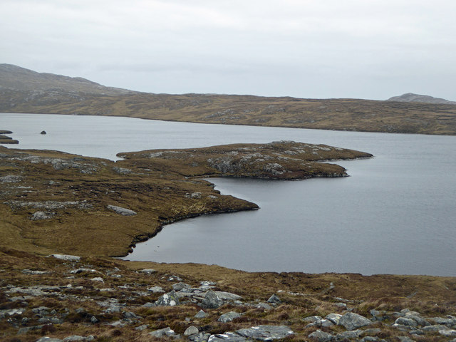
Situated on the western coast of Scotland, Rubha Dubh is known for its rugged cliffs and dramatic landscape. The headland is composed of ancient rocks, primarily consisting of Lewisian gneiss, which is one of the oldest known rock formations on Earth. These rocks have been shaped by millions of years of erosion and weathering, resulting in striking formations and intricate patterns.
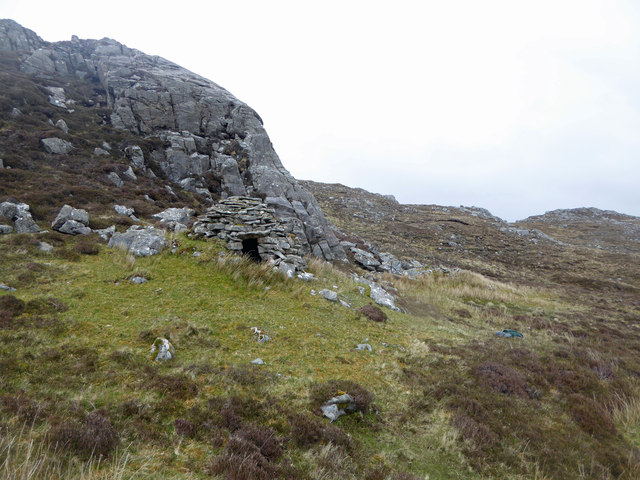
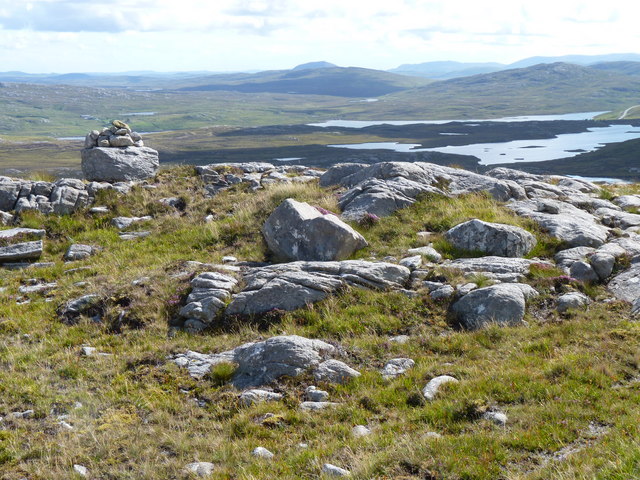
The headland is a popular destination for nature enthusiasts and hikers who are drawn to its wild and untamed beauty. The coastal path that winds around Rubha Dubh provides visitors with stunning panoramic views of the ocean, as well as opportunities to spot various seabirds and marine wildlife. The area is also home to several species of plants and flowers that thrive in the coastal environment.
Rubha Dubh's location makes it susceptible to the force of the Atlantic Ocean, resulting in powerful waves crashing against the cliffs. This creates a captivating spectacle for visitors, especially during stormy weather. However, it is important to exercise caution when exploring the area, as the cliffs can be dangerous and slippery.
Overall, Rubha Dubh is a remarkable coastal feature that showcases the raw power and beauty of nature. Its unique geology, stunning views, and diverse flora and fauna make it a must-visit destination for those seeking an immersive experience in Scotland's coastal wonders.
If you have any feedback on the listing, please let us know in the comments section below.
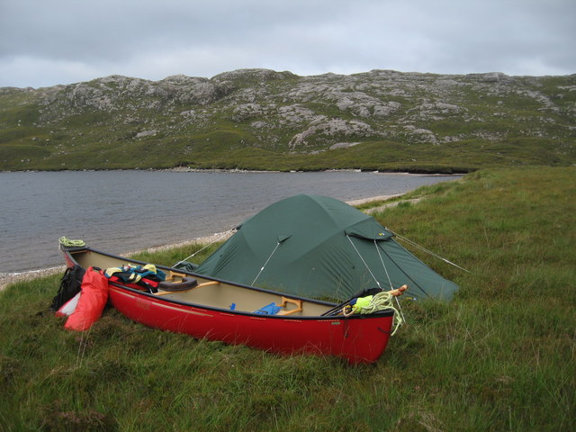
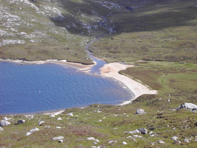
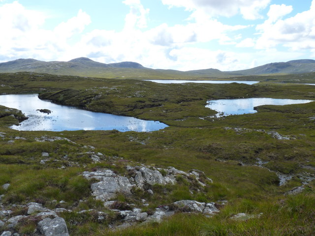
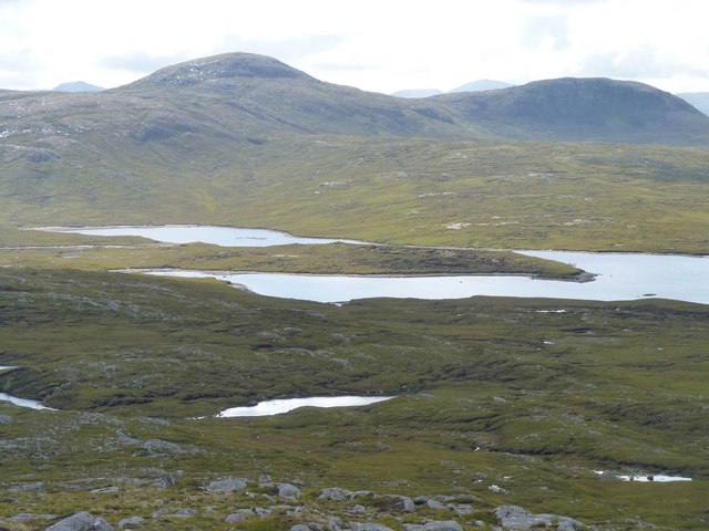
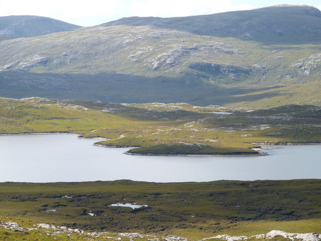
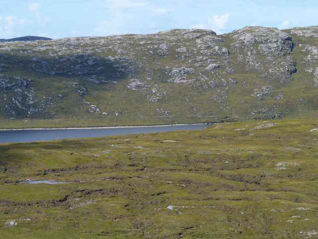
Rubha Dubh Images
Images are sourced within 2km of 58.140246/-6.9558648 or Grid Reference NB0827. Thanks to Geograph Open Source API. All images are credited.
Rubha Dubh is located at Grid Ref: NB0827 (Lat: 58.140246, Lng: -6.9558648)
Unitary Authority: Na h-Eileanan an Iar
Police Authority: Highlands and Islands
What 3 Words
///sardine.explains.slack. Near Carloway, Na h-Eileanan Siar
Nearby Locations
Related Wikis

Gisla Hydro-Electric Scheme
Gisla Hydro-Electric Scheme was a small scheme promoted by the North of Scotland Hydro-Electric Board on the Isle of Lewis, Outer Hebrides, Scotland. It...

Gasker
Gasker is a small uninhabited islet in the Outer Hebrides of Scotland, 8 kilometres (4+1⁄2 nautical miles) southwest of Scarp, off the west coast of Harris...

Uig, Lewis
Uig (Scottish Gaelic: Ùig [uːkʲ]), also known as Sgìr' Ùig, is a civil parish and community in the west of the Isle of Lewis in the Outer Hebrides, Scotland...

Ardroil
Ardroil (Scottish Gaelic: Eadar Dhà Fhadhail) is a village on the Isle of Lewis in the Outer Hebrides, Scotland. Ardroil is within the parish of Uig....
Have you been to Rubha Dubh?
Leave your review of Rubha Dubh below (or comments, questions and feedback).