Sròn Ghaoithe

Coastal Feature, Headland, Point in Inverness-shire

Scotland

Sròn Ghaoithe

Ruin at Ardvey Abandoned and derelict, in spite of being relatively modern.
Ruin at Ardvey Credit: Richard Dorrell

The requested URL returned error: 429 Too Many Requests

If you have any feedback on the listing, please let us know in the comments section below.

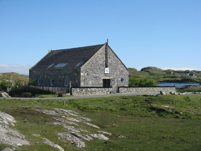
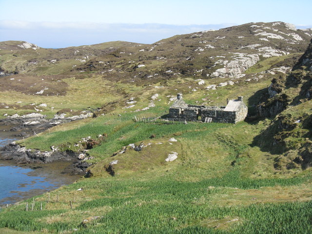
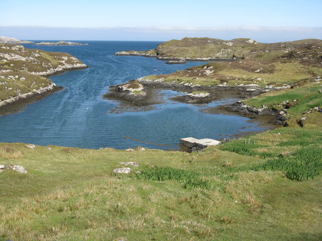
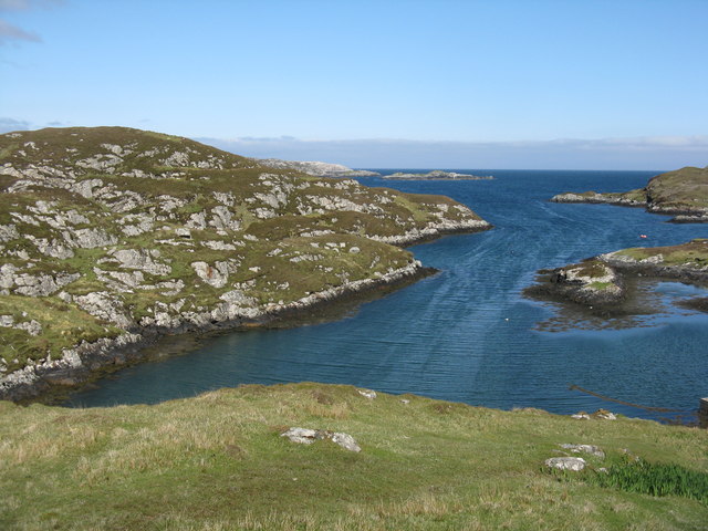
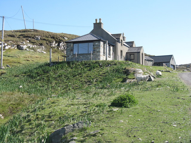
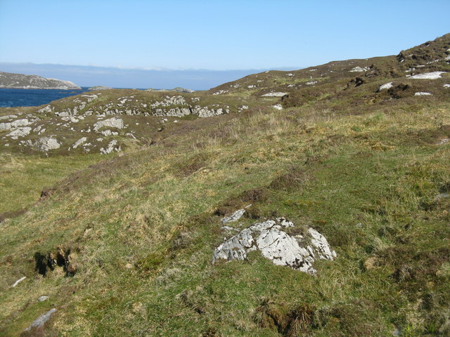
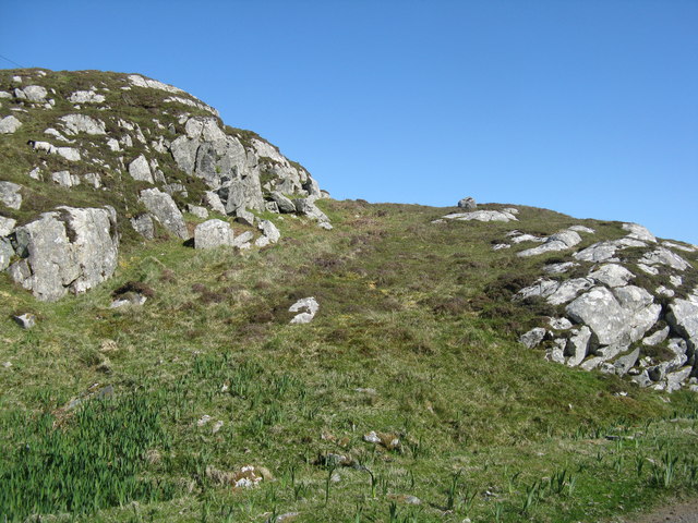
Sròn Ghaoithe Images

Images are sourced within 2km of 57.765715/-6.901692 or Grid Reference NG0885. Thanks to Geograph Open Source API. All images are credited.

Ruin at Ardvey Abandoned and derelict, in spite of being relatively modern.
Ruin at Ardvey
Abandoned and derelict, in spite of being relatively modern.
Loch Fhionnsabhaigh The blue pay-to-view telescope is probably there to enable seal-watchers to get a closer view - though as the seals were today basking on rocks just a few yards from the shore, the scope was barely necessary.
See also: <a href="https://www.geograph.org.uk/photo/7033022">NG0887 : Common seals in Loch Fhionnsabhaigh</a>.
Loch Fhionnsabhaigh
The blue pay-to-view telescope is probably there to enable seal-watchers to get a closer view - though as the seals were today basking on rocks just a few yards from the shore, the scope was barely necessary. See also: NG0887 : Common seals in Loch Fhionnsabhaigh.
Common seals in Loch Fhionnsabhaigh A slightly zoomed-in image, taken from the shore of the loch.
Common seals in Loch Fhionnsabhaigh
A slightly zoomed-in image, taken from the shore of the loch.
The road approaching Fionnsabhagh from the south
Desolate inland Harris Geocaching is a type of global treasure hunt of people looking for caches, or hidden stashes of objects. Geocaching may also be described as a series of hide-and-seek games, where hiders provide online clues for seekers. Seekers use global positioning system (GPS) devices to find hidden caches
Desolate inland Harris
Geocaching is a type of global treasure hunt of people looking for caches, or hidden stashes of objects. Geocaching may also be described as a series of hide-and-seek games, where hiders provide online clues for seekers. Seekers use global positioning system (GPS) devices to find hidden caches
Loch Sgùrr The road is right on the brink of this small lochan.
Loch Sgùrr
The road is right on the brink of this small lochan.
Fionnsabhaigh Finsbay is one of the scattered villages on the east side of Harris, settled by people evicted from the fertile machair land on the west during the Highand Clearances.
Fionnsabhaigh
Finsbay is one of the scattered villages on the east side of Harris, settled by people evicted from the fertile machair land on the west during the Highand Clearances.
Finsbay One of a handful of small settlements in Eastern Harris.
Finsbay
One of a handful of small settlements in Eastern Harris.
Sea Inlet at Ardvey Marked on the map as a tidal pond, this is connected to the sea on the right, beyond the narrowest part. It is, unfortunately, difficult to photograph anything in this area without including the necessary evil of power lines.
Sea Inlet at Ardvey
Marked on the map as a tidal pond, this is connected to the sea on the right, beyond the narrowest part. It is, unfortunately, difficult to photograph anything in this area without including the necessary evil of power lines.
Tidal Inlet at Aird Mhighe The inlet is in this square but the house is in the next square.
Tidal Inlet at Aird Mhighe
The inlet is in this square but the house is in the next square.
Loch Fhionnsabhaigh One of the larger sea-lochs on the east coast of Harris.
Loch Fhionnsabhaigh
One of the larger sea-lochs on the east coast of Harris.
Mission House Studio At Finsbay/Fionnsabhagh, looking in much better condition than it does on Google Street View imagery of 2009.
Mission House Studio
At Finsbay/Fionnsabhagh, looking in much better condition than it does on Google Street View imagery of 2009.
Ruined house by the shore At the end of the road to Borsham/Boirseam
Ruined house by the shore
At the end of the road to Borsham/Boirseam
Jetty at Boirseam/Borsham On an inlet of Loch Fionnsabhagh.
Jetty at Boirseam/Borsham
On an inlet of Loch Fionnsabhagh.
Loch Fionnsabhagh Looking east from Biorseam/Borsham.
Loch Fionnsabhagh
Looking east from Biorseam/Borsham.
House at Boirseam/Borsham Almost at the end of the road.
House at Boirseam/Borsham
Almost at the end of the road.
Rocky moorland at Borsham/Boirseam With a glimpse of Loch Fionnsabhagh beyond.
Rocky moorland at Borsham/Boirseam
With a glimpse of Loch Fionnsabhagh beyond.
Roadside rocks at Boirseam With yellow flags or iris in the damp part.
Roadside rocks at Boirseam
With yellow flags or iris in the damp part.
Show me another place!

Sròn Ghaoithe is located at Grid Ref: NG0885 (Lat: 57.765715, Lng: -6.901692)

Unitary Authority: Na h-Eileanan an Iar

Police Authority: Highlands and Islands

What 3 Words

///director.loaders.archduke. Near Leverburgh, Na h-Eileanan Siar

Related Wikis

Borsham

Borsham (Scottish Gaelic: Boirseam) is a village in the 'Bays' area of Harris in the Outer Hebrides, Scotland. Borsham is within the parish of Harris....

Lingarabay

Lingarabay (also Lingerabay or Lingerbay; Scottish Gaelic: Lingreabhagh) is a small coastal settlement on Harris, in the Outer Hebrides of Scotland. It...

Harris Superquarry

The Harris Super Quarry was a super quarry at Lingerbay, Harris, Scotland proposed by Redland Aggregates in 1991. The plan was to surface mine aggregate...

Roineabhal

Roineabhal is a hill in Harris, in the Western Isles of Scotland. The granite on the summit plateau of the mountain is anorthosite, and is similar in composition...

Nearby Amenities

Located within 500m of 57.765715,-6.901692
Sron Ghaoithe
Place: locality
Lat/Long: 57.7659444/-6.9018253
The data included in this document is from www.openstreetmap.org. The data is made available under ODbL.

Have you been to Sròn Ghaoithe?

Leave your review of Sròn Ghaoithe below (or comments, questions and feedback).