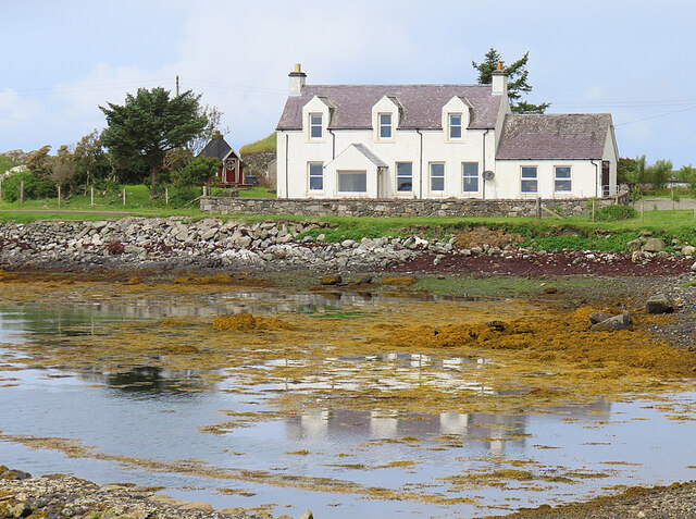
Rubh' an Losaid
Coastal Feature, Headland, Point in Inverness-shire
Scotland
Rubh' an Losaid
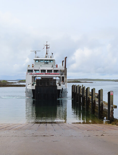
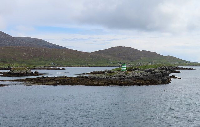
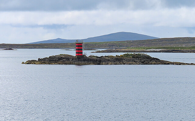
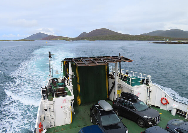
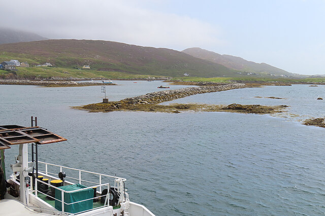
Rubh' an Losaid is a prominent headland located in Inverness-shire, Scotland. Situated along the picturesque coastline, this coastal feature offers breathtaking views of the surrounding landscape and the vast expanse of the North Sea. The name "Rubh' an Losaid" translates to "Point of the Ferry" in Gaelic, hinting at its historical significance as a crossing point for travelers.
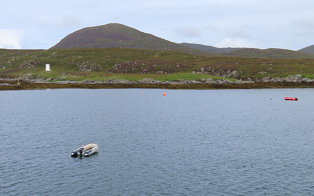
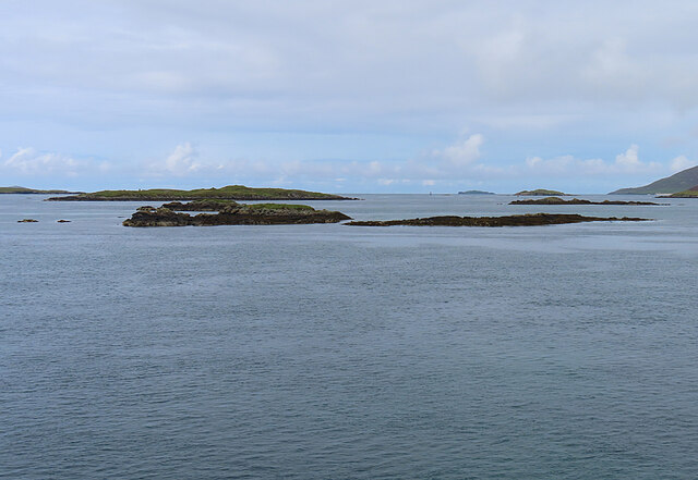
The headland is characterized by its rugged terrain and towering cliffs that jut out into the sea. These cliffs provide a natural vantage point for visitors to admire the stunning beauty of the area, with uninterrupted panoramas of the ocean and the distant horizon. The headland is also home to a variety of seabirds, including gannets and puffins, making it a popular spot for birdwatching enthusiasts.
Access to Rubh' an Losaid is relatively easy, with a well-maintained footpath leading up to the headland. The path winds its way through rolling hills and offers glimpses of the diverse flora and fauna that thrive in this coastal ecosystem. Visitors can expect to encounter heather, wildflowers, and grasses as they explore the area.
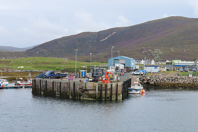
Rubh' an Losaid is a popular destination for outdoor enthusiasts, offering opportunities for hiking, photography, and simply enjoying the beauty of nature. Its proximity to nearby villages and towns provides visitors with convenient access to amenities such as accommodations, restaurants, and shops. Whether exploring the headland's rugged cliffs or simply taking in the breathtaking views, Rubh' an Losaid is a must-visit destination for those seeking to immerse themselves in the natural wonders of Inverness-shire.
If you have any feedback on the listing, please let us know in the comments section below.
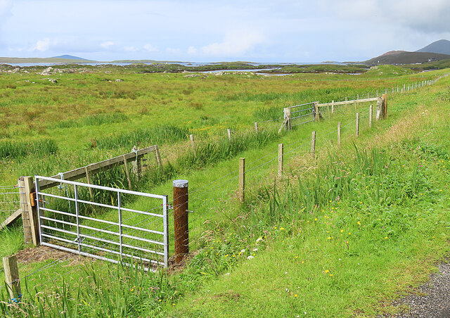
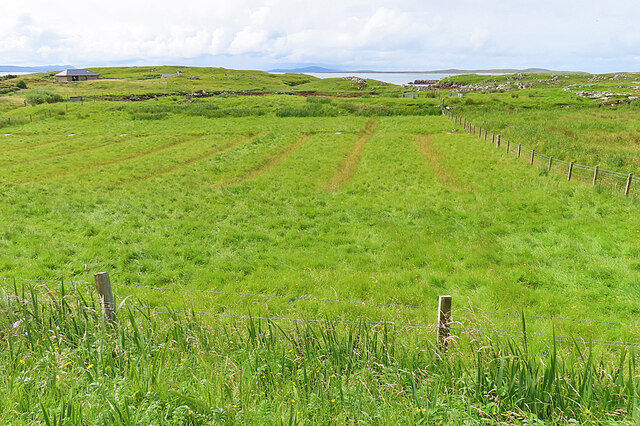
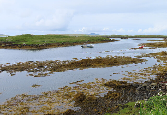
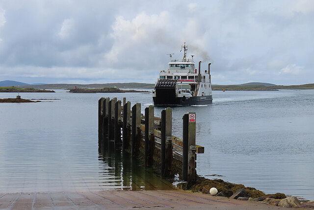
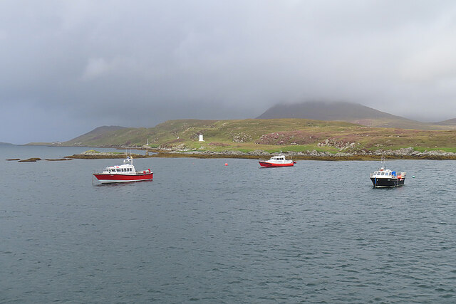
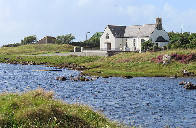
Rubh' an Losaid Images
Images are sourced within 2km of 57.769326/-7.0294341 or Grid Reference NG0186. Thanks to Geograph Open Source API. All images are credited.
Rubh' an Losaid is located at Grid Ref: NG0186 (Lat: 57.769326, Lng: -7.0294341)
Unitary Authority: Na h-Eileanan an Iar
Police Authority: Highlands and Islands
What 3 Words
///define.mothering.lavender. Near Leverburgh, Na h-Eileanan Siar
Nearby Locations
Related Wikis

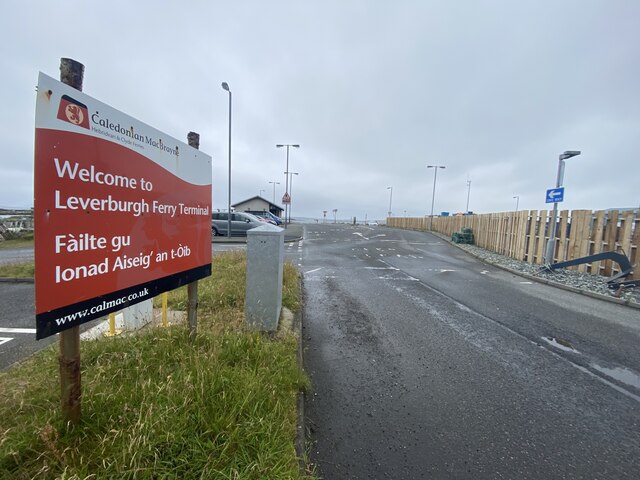
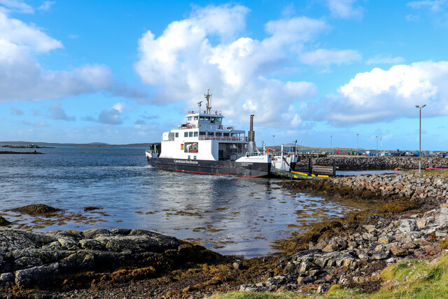
Leverburgh
Leverburgh (Scottish Gaelic: An t-Òb [ən̪ˠ ˈt̪ɔːp]) is the second largest village, after Tarbert, in Harris in the Outer Hebrides of Scotland. Leverburgh...

Outer Hebrides
The Outer Hebrides ( HEB-rid-eez) or Western Isles (Scottish Gaelic: na h-Eileanan Siar [nə ˈhelanən ˈʃiəɾ] , na h-Eileanan an Iar [nə ˈhelanən əɲ ˈiəɾ...

Ensay (Outer Hebrides)
Ensay (Gaelic Easaigh) is a currently unpopulated and privately owned island in the Outer Hebrides of Scotland. The island lies in the Sound of Harris...

Roineabhal
Roineabhal is a hill in Harris, in the Western Isles of Scotland. The granite on the summit plateau of the mountain is anorthosite, and is similar in composition...
Nearby Amenities
Located within 500m of 57.769326,-7.0294341Have you been to Rubh' an Losaid?
Leave your review of Rubh' an Losaid below (or comments, questions and feedback).