Liana Bàn
Coastal Feature, Headland, Point in Inverness-shire
Scotland
Liana Bàn
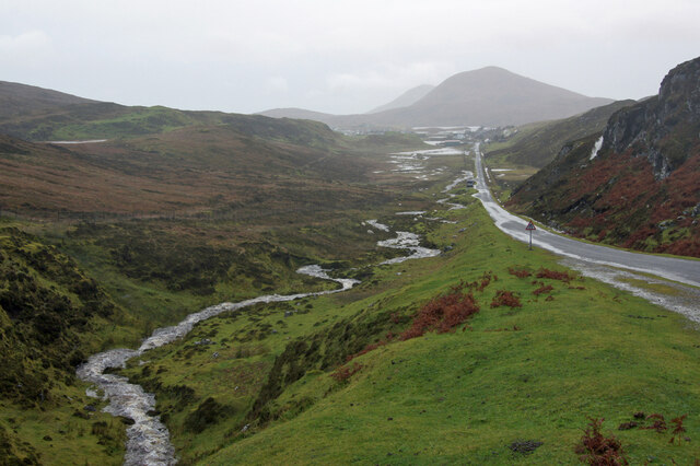
Liana Bàn is a prominent coastal feature located in Inverness-shire, Scotland. Known for its stunning beauty and geological significance, it is a headland that extends into the North Atlantic Ocean. Situated on the western coast of Scotland, Liana Bàn offers breathtaking views of the surrounding landscape, including lush green hills, rugged cliffs, and the vast expanse of the ocean.
The headland is characterized by its distinctive shape, jutting out into the sea with a pointed tip. This unique formation is a result of years of erosion caused by the powerful waves and currents of the North Atlantic. As a result, Liana Bàn features steep cliffs that provide nesting grounds for various seabirds, including puffins, guillemots, and gulls.
The coastal feature is also home to a diverse range of flora and fauna. The cliffs and surrounding grasslands offer habitat for various plant species, such as heather, gorse, and wildflowers. Marine life is abundant in the waters surrounding Liana Bàn, with seals often seen basking on the rocks and dolphins occasionally spotted swimming offshore.
Liana Bàn is a popular destination for nature enthusiasts, hikers, and photographers due to its unspoiled natural beauty. A network of walking trails offers visitors the opportunity to explore the headland and enjoy its stunning vistas. Additionally, the area is rich in historical and cultural heritage, with ancient ruins and archaeological sites nearby.
Overall, Liana Bàn is a captivating coastal feature that showcases the rugged beauty of the Scottish coastline. Its dramatic cliffs, diverse wildlife, and picturesque surroundings make it a must-visit destination for anyone seeking to immerse themselves in Scotland's natural wonders.
If you have any feedback on the listing, please let us know in the comments section below.
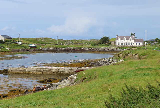
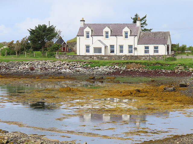
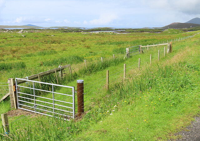
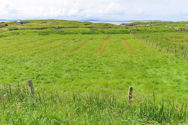
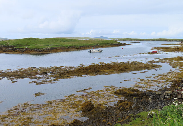
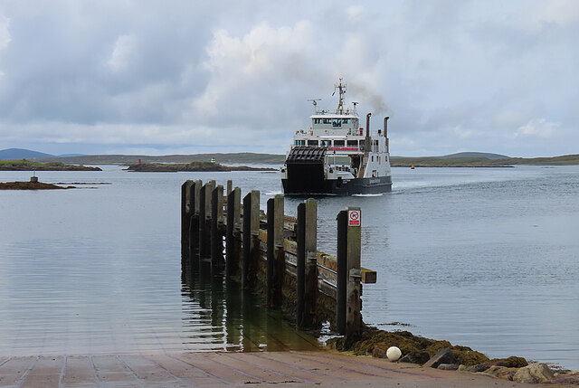
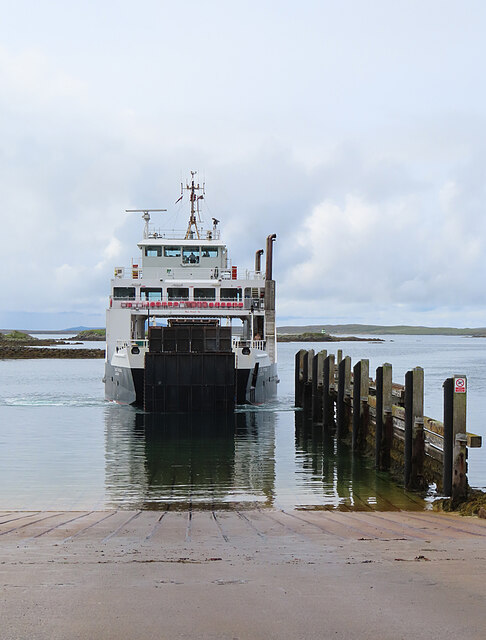
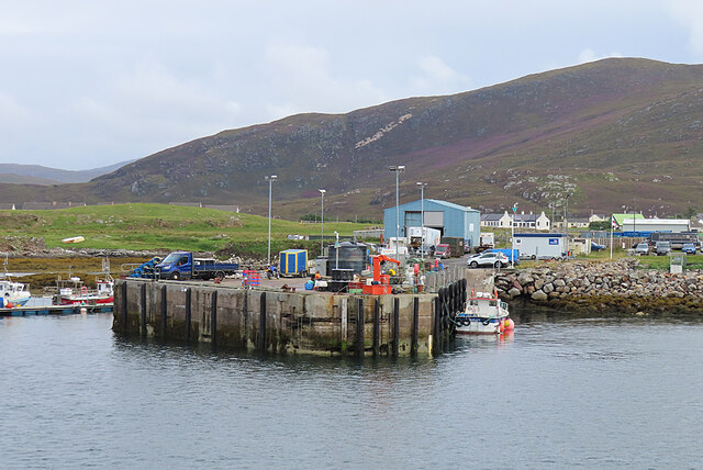
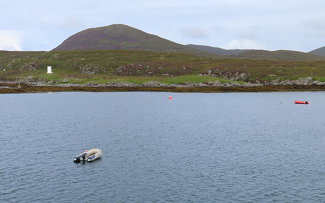
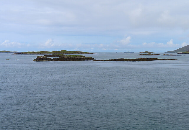
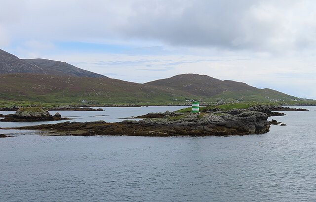
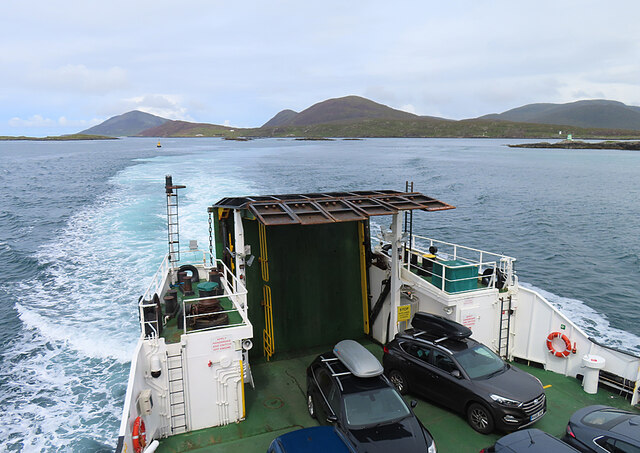
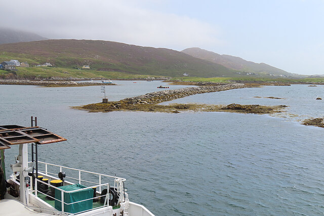
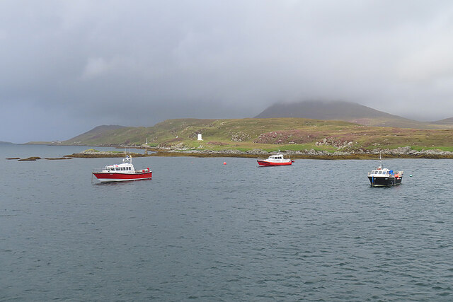
Liana Bàn Images
Images are sourced within 2km of 57.771775/-7.0176179 or Grid Reference NG0186. Thanks to Geograph Open Source API. All images are credited.
Liana Bàn is located at Grid Ref: NG0186 (Lat: 57.771775, Lng: -7.0176179)
Unitary Authority: Na h-Eileanan an Iar
Police Authority: Highlands and Islands
What 3 Words
///massaged.districts.trade. Near Leverburgh, Na h-Eileanan Siar
Nearby Locations
Related Wikis

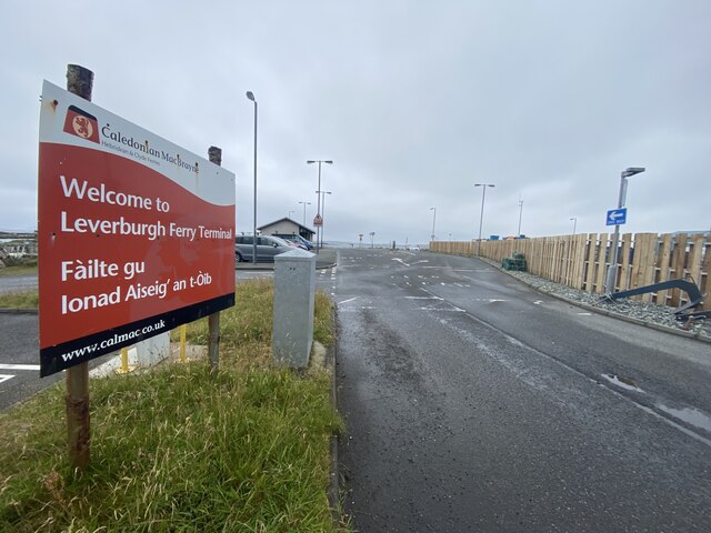
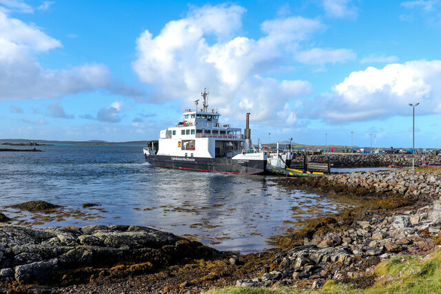
Leverburgh
Leverburgh (Scottish Gaelic: An t-Òb [ən̪ˠ ˈt̪ɔːp]) is the second largest village, after Tarbert, in Harris in the Outer Hebrides of Scotland. Leverburgh...

Outer Hebrides
The Outer Hebrides ( HEB-rid-eez) or Western Isles (Scottish Gaelic: na h-Eileanan Siar [nə ˈhelanən ˈʃiəɾ] , na h-Eileanan an Iar [nə ˈhelanən əɲ ˈiəɾ...

Roineabhal
Roineabhal is a hill in Harris, in the Western Isles of Scotland. The granite on the summit plateau of the mountain is anorthosite, and is similar in composition...

Ensay (Outer Hebrides)
Ensay (Gaelic Easaigh) is a currently unpopulated and privately owned island in the Outer Hebrides of Scotland. The island lies in the Sound of Harris...
Nearby Amenities
Located within 500m of 57.771775,-7.0176179Have you been to Liana Bàn?
Leave your review of Liana Bàn below (or comments, questions and feedback).