Big Point

Coastal Feature, Headland, Point in Inverness-shire

Scotland

Big Point

Inlet on The Sound of Harris North of Bàgh Chàise, a small crofting settlement.
Inlet on The Sound of Harris Credit: Dave Fergusson

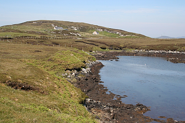
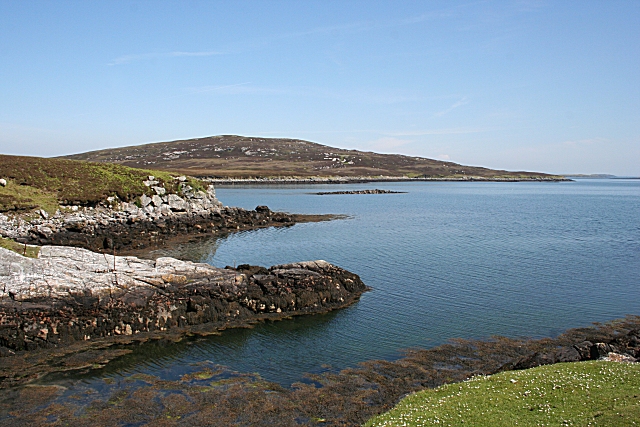
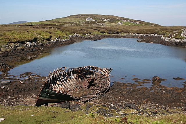
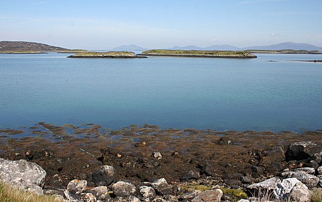
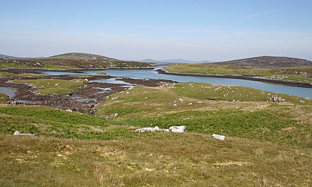
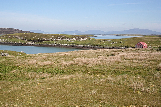
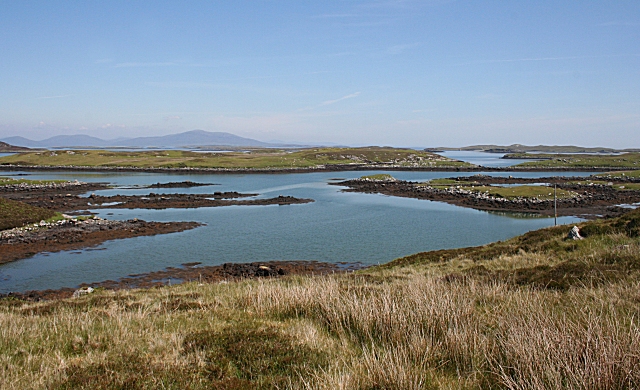
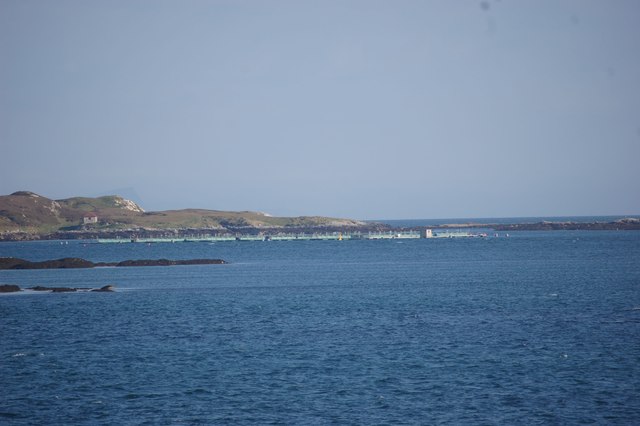
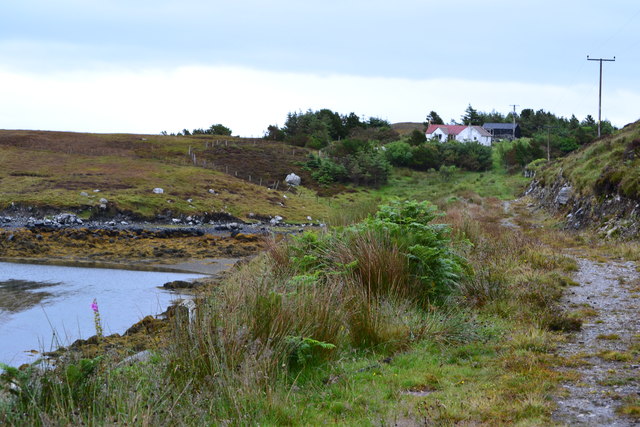
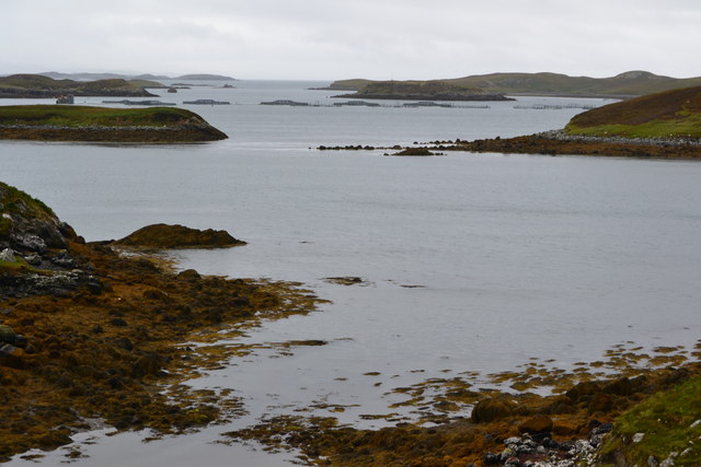
Big Point is a prominent coastal feature located in Inverness-shire, Scotland. Situated on the western coast of the county, it is a headland that juts out into the North Atlantic Ocean. The point is characterized by its rugged and rocky terrain, typical of the Scottish coastline.

Standing tall at approximately 100 meters above sea level, Big Point offers breathtaking panoramic views of the surrounding area. From this vantage point, visitors can enjoy sweeping vistas of the ocean, nearby cliffs, and the expansive horizon. The point also provides a perfect vantage point for birdwatching, as it is a popular nesting site for various seabird species.

The headland is known for its challenging and exhilarating coastal walks, attracting adventurous hikers and nature enthusiasts. The terrain is a mix of grassy slopes, rocky outcrops, and cliff edges, making it an ideal spot for those seeking an adrenaline rush or simply a peaceful stroll.

Big Point is also of historical significance, with traces of ancient settlements found in the vicinity. Archaeological excavations have revealed the remains of stone structures and artifacts, indicating human activity in the area dating back thousands of years.

Access to Big Point is relatively easy, with a well-maintained footpath leading from a nearby car park. The point is a popular tourist destination, drawing both locals and visitors from afar, who come to experience its natural beauty and immerse themselves in its rich history.

If you have any feedback on the listing, please let us know in the comments section below.
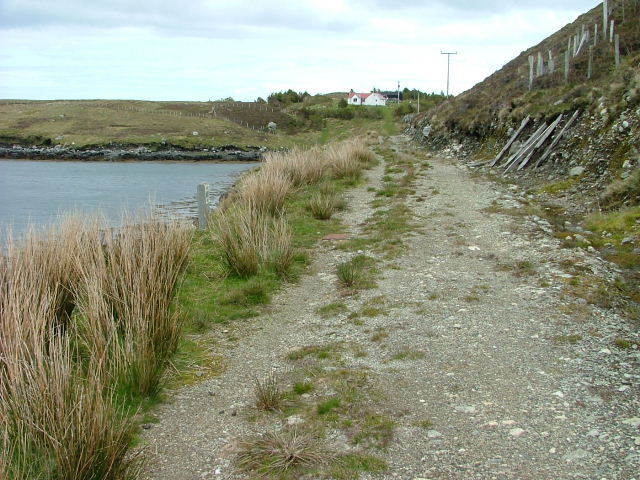
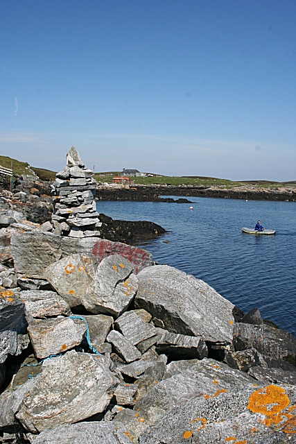
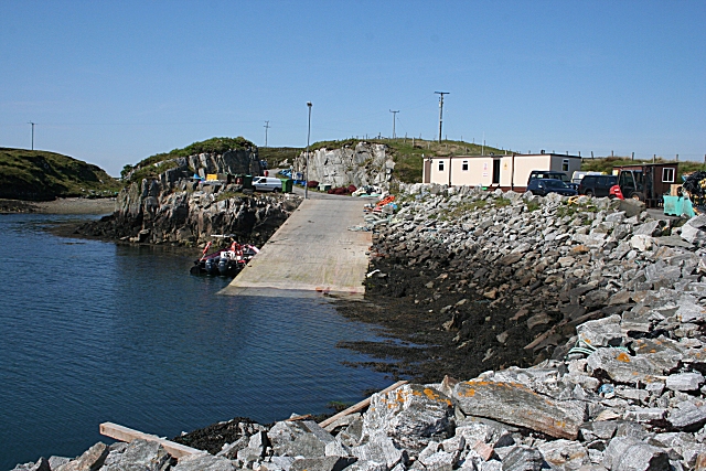
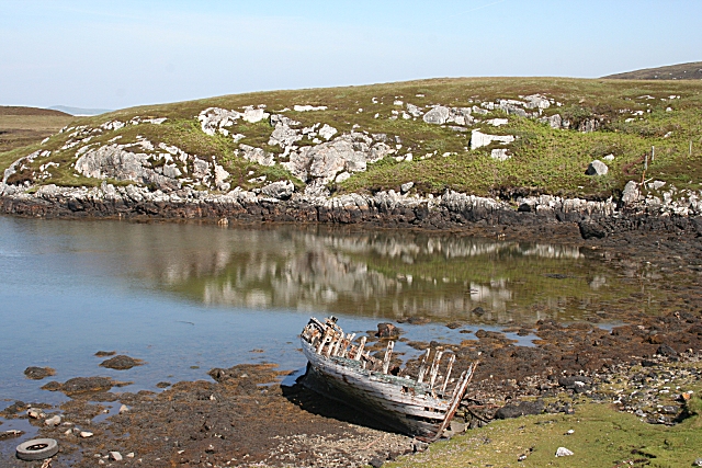
Big Point Images

Images are sourced within 2km of 57.663472/-7.0728922 or Grid Reference NF9775. Thanks to Geograph Open Source API. All images are credited.

Inlet on The Sound of Harris North of Bàgh Chàise, a small crofting settlement.
Inlet on The Sound of Harris
North of Bàgh Chàise, a small crofting settlement.
Track and House On Bágh a' Cháise.
Track and House
On Bágh a' Cháise.
Cheese Bay Looking north from the harbour wall at Cheese Bay. This style of tall cairn seems popular in the Hebrides.
Cheese Bay
Looking north from the harbour wall at Cheese Bay. This style of tall cairn seems popular in the Hebrides.
Bàgh a'Chàise A fisherman rows ashore from his boat, moored close to the Cheese Bay harbour wall. On the right is the island of Taghaidh, in the next square.
Bàgh a'Chàise
A fisherman rows ashore from his boat, moored close to the Cheese Bay harbour wall. On the right is the island of Taghaidh, in the next square.
Cheese Bay Looking past the south end of the island of Taghaigh towards the distant mountains of South Harris.
Cheese Bay
Looking past the south end of the island of Taghaigh towards the distant mountains of South Harris.
Cheese Bay Slipway This slipway is used by Marine Harvest for access of the fish farms they operate in Bàgh a'Chàise and further offshore.
Cheese Bay Slipway
This slipway is used by Marine Harvest for access of the fish farms they operate in Bàgh a'Chàise and further offshore.
Going Nowhere The hulk of a boat lies rotting in a tidal inlet near Tigh-na-Hoe.
Going Nowhere
The hulk of a boat lies rotting in a tidal inlet near Tigh-na-Hoe.
Tobha Beag Not to be confused with the similarly named, and much better known, place in South Uist, this is almost the end of the road.
Tobha Beag
Not to be confused with the similarly named, and much better known, place in South Uist, this is almost the end of the road.
Island of Taghaigh There is not much of land on the North Uist shore in this square, but this side of the offshore island of Taghaigh, in the background here, is in square.
Island of Taghaigh
There is not much of land on the North Uist shore in this square, but this side of the offshore island of Taghaigh, in the background here, is in square.
Going Nowhere This is the same boat as in <a href="https://www.geograph.org.uk/photo/1343501">NF9574 : Going Nowhere</a>, with the houses at Tobha Beag in the background beyond the tidal inlet.
Going Nowhere
This is the same boat as in NF9574 : Going Nowhere, with the houses at Tobha Beag in the background beyond the tidal inlet.
Eileana Dubha Eileana Dubha means 'dark islands' and is applied to the two nearest islets. The distant hills are in South Harris.
Eileana Dubha
Eileana Dubha means 'dark islands' and is applied to the two nearest islets. The distant hills are in South Harris.
Strom and Orasaigh The land on the other side of the inlet of Strom, on the right, is yet another island named Orasaigh. I wonder just how many Hebridean islands bear this same name?
Strom and Orasaigh
The land on the other side of the inlet of Strom, on the right, is yet another island named Orasaigh. I wonder just how many Hebridean islands bear this same name?
Strom This inlet off Bàgh a'Chàise is named on the maps as Strom.
Strom
This inlet off Bàgh a'Chàise is named on the maps as Strom.
Bàgh a'Chàise The headland to the left of the red hut separates the inlet of Strom from Bàgh a'Chàise (Cheese Bay). In the distance are the hills of South Harris.
Bàgh a'Chàise
The headland to the left of the red hut separates the inlet of Strom from Bàgh a'Chàise (Cheese Bay). In the distance are the hills of South Harris.
Orasaigh The island on the other side of the inlet is yet another one named Orasaigh. I wonder just how many Hebridean islands bear this same name?
Orasaigh
The island on the other side of the inlet is yet another one named Orasaigh. I wonder just how many Hebridean islands bear this same name?
Fish farm Taken from ferry
Fish farm
Taken from ferry
Overgrown track and house, Bagh a Chaise
Bagh a Chaise A floating fish farm is visible in the middle distance.
Bagh a Chaise
A floating fish farm is visible in the middle distance.
Show me another place!

Big Point is located at Grid Ref: NF9775 (Lat: 57.663472, Lng: -7.0728922)

Unitary Authority: Na h-Eileanan an Iar

Police Authority: Highlands and Islands

What 3 Words

///trimmer.jammy.piston. Near Lochmaddy, Na h-Eileanan Siar

Related Wikis

Tahay

Tahay (Scottish Gaelic: Taghaigh) is an island in the Outer Hebrides of Scotland. The name originates from the Old Norse tagg-øy meaning island with a...

South Lewis, Harris and North Uist National Scenic Area

South Lewis, Harris and North Uist is a large national scenic area (NSA) in the Western Isles of Scotland. It is one of 40 such areas in Scotland, which...

Hermetray

Hermetray (Scottish Gaelic: Theàrnatraigh) is an uninhabited island off North Uist, in the Outer Hebrides of Scotland. == Geography and geology == Hermetray...

Sursaigh

Sursaigh (Scottish Gaelic: Sursaigh) is an island off North Uist in the Sound of Harris, Scotland. It lies 8 kilometres (5.0 mi) northeast of the village...

Nearby Amenities

Located within 500m of 57.663472,-7.0728922
Created By: dmgroom_coastlines
Lat/Long: 57.66136/-7.07745
Created By: dmgroom_coastlines
Lat/Long: 57.66162/-7.07791
Created By: dmgroom_coastlines
Lat/Long: 57.66176/-7.07838
Created By: dmgroom_coastlines
Lat/Long: 57.66201/-7.07837
Created By: dmgroom_coastlines
Lat/Long: 57.662/-7.07741
Created By: dmgroom_coastlines
Lat/Long: 57.66174/-7.07719
Created By: dmgroom_coastlines
Lat/Long: 57.66123/-7.07698
The data included in this document is from www.openstreetmap.org. The data is made available under ODbL.

Have you been to Big Point?

Leave your review of Big Point below (or comments, questions and feedback).