Am Barradhu

Coastal Feature, Headland, Point in Argyllshire

Scotland

Am Barradhu

Hynish Farm
Hynish Farm Credit: Richard Webb

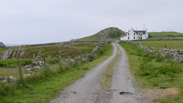
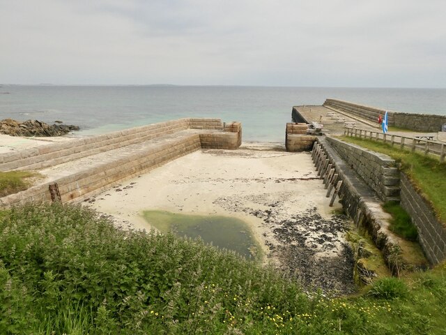
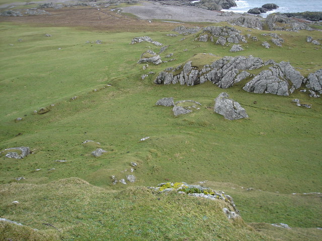
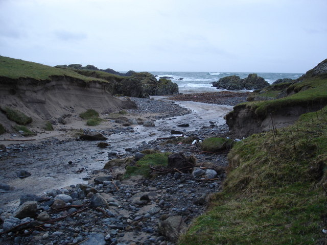
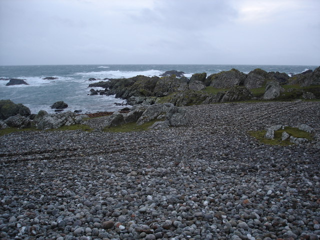
Am Barradhu is a prominent headland located in Argyllshire, Scotland. Situated along the stunning coastal region, this geographical feature offers breathtaking views of the surrounding landscape and the vast expanse of the Atlantic Ocean. With its rocky cliffs and rugged terrain, Am Barradhu stands tall as a striking landmark in the area.

The headland is known for its unique geological formations, showcasing layers of ancient rock that have been gradually shaped by the forces of erosion and weathering. This distinctive landscape serves as a testament to the rich geological history of the region.

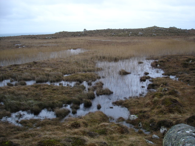
Am Barradhu is a popular destination for outdoor enthusiasts and nature lovers due to its diverse flora and fauna. The headland is home to a variety of seabirds, including gannets, puffins, and guillemots, making it a haven for birdwatching enthusiasts. Visitors can also spot seals and dolphins frolicking in the waters surrounding the headland.

The headland offers several walking trails, allowing visitors to explore its rugged beauty and enjoy panoramic views of the coastline. These paths are well-maintained and provide opportunities for hikers to immerse themselves in the tranquil ambiance of the area.

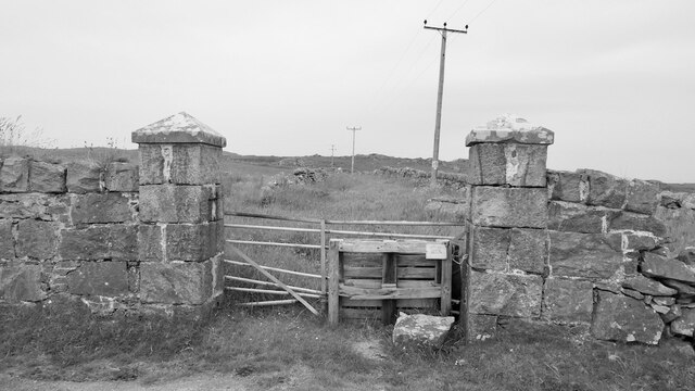
The surrounding area of Am Barradhu is relatively untouched by human development, adding to its natural charm and allure. This makes it an ideal spot for those seeking solitude and a connection with nature.

In summary, Am Barradhu is a captivating headland in Argyllshire, Scotland, offering stunning views, unique geological formations, and abundant wildlife. Whether it's for a peaceful walk along the cliffs or a chance to observe seabirds in their natural habitat, this coastal feature is a must-visit for anyone seeking an authentic Scottish coastal experience.

If you have any feedback on the listing, please let us know in the comments section below.
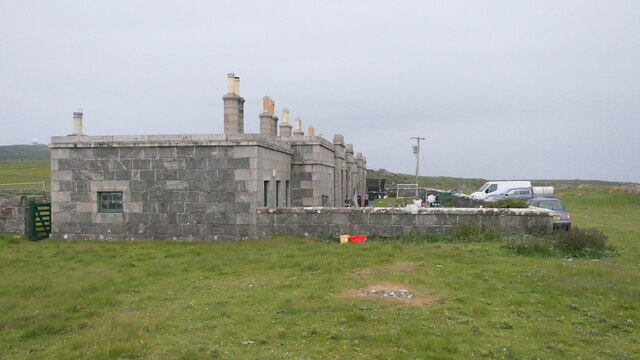
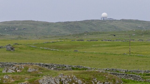
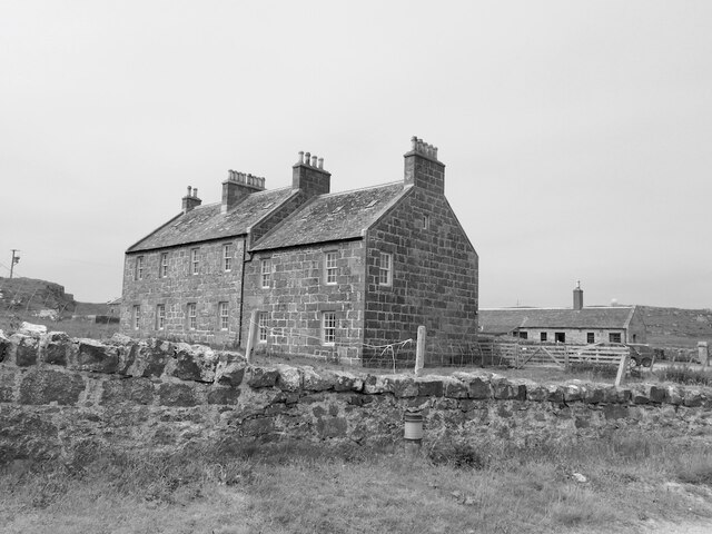
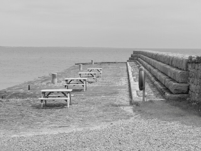
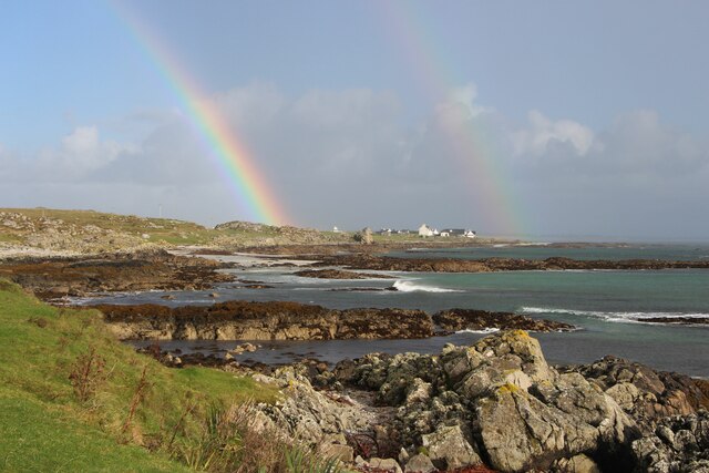
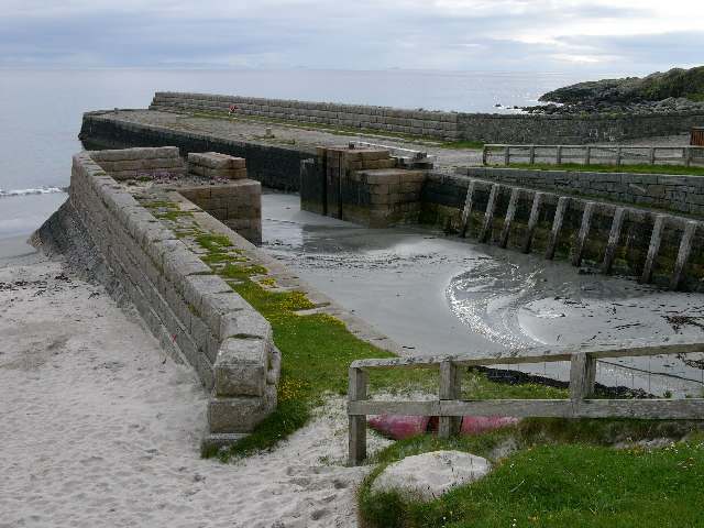
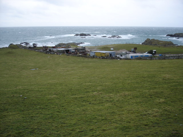
Am Barradhu Images

Images are sourced within 2km of 56.4479/-6.8892072 or Grid Reference NL9839. Thanks to Geograph Open Source API. All images are credited.

Hynish Farm
Hynish Farm
Gateway, Hynish Looks to be part of the lighthouse base, I would suspect this was an access road to a reservoir used to flush sand out of the harbour.
Gateway, Hynish
Looks to be part of the lighthouse base, I would suspect this was an access road to a reservoir used to flush sand out of the harbour.
Masonry, Hynish signal tower Ross of Mull granite with very tight mortar, presumably the same technique used on lighthouses in exposed places.  The tower was used as the pre-radio communication with Skerryvore.
Masonry, Hynish signal tower
Ross of Mull granite with very tight mortar, presumably the same technique used on lighthouses in exposed places. The tower was used as the pre-radio communication with Skerryvore.
Northern Light plaque "Hynish Signal Tower, 1843
In use from 1846 to 1937 for signalling by semaphore to Skerryvore Lighthouse 12 miles to the southwest."

12 miles is about 19km.  The lighthouse was visible today, it is famed for its elegance and is a fine sight even from here.
Northern Light plaque
"Hynish Signal Tower, 1843 In use from 1846 to 1937 for signalling by semaphore to Skerryvore Lighthouse 12 miles to the southwest." 12 miles is about 19km. The lighthouse was visible today, it is famed for its elegance and is a fine sight even from here.
Lighthouse keeper's accommodation, Hynish For families and the keepers when not on duty out on Skerryvore.  After being empty for a while the buildings have been restored for housing.
Lighthouse keeper's accommodation, Hynish
For families and the keepers when not on duty out on Skerryvore. After being empty for a while the buildings have been restored for housing.
Farmland, Hynish View towards Càrnan Mòr and the Golf Ball, an air traffic control radar.
Farmland, Hynish
View towards Càrnan Mòr and the Golf Ball, an air traffic control radar.
Hynish Harbour Built to transfer building materials, mainly Mull granite to the Skerryvore Lighthouse construction site. The build up of sand was countered by periodically emptying a reservoir into the harbour. The culvert and reservoir are still there.
Hynish Harbour
Built to transfer building materials, mainly Mull granite to the Skerryvore Lighthouse construction site. The build up of sand was countered by periodically emptying a reservoir into the harbour. The culvert and reservoir are still there.
Houses, Hynish Restored and now in residential use.
Houses, Hynish
Restored and now in residential use.
Pier, Hynish Built to service the construction and maintenance  of the Skerryvore Lighthouse.
Pier, Hynish
Built to service the construction and maintenance of the Skerryvore Lighthouse.
Rainbow at Hynish shore
Hynish, Isle of Tiree - Pier The disused dock of the former shore station for the Skerryvore Lighthouse
Hynish, Isle of Tiree - Pier
The disused dock of the former shore station for the Skerryvore Lighthouse
Farm buildings near Hynish A collection of tin buildings and mobile homes complete with sheepdogs.  It did have the feeling that the whole lot would blow away when a serious wind blew.
Farm buildings near Hynish
A collection of tin buildings and mobile homes complete with sheepdogs. It did have the feeling that the whole lot would blow away when a serious wind blew.
Near the fort When I was here I was convinced that this was the location of the fort on the map.  The high ground on either sided and the parallel ridges remains of ditch systems.      Although it could be that the hill I'm standing on was the site.
Near the fort
When I was here I was convinced that this was the location of the fort on the map. The high ground on either sided and the parallel ridges remains of ditch systems. Although it could be that the hill I'm standing on was the site.
Linne Thorramhuill A very heavily reeded lochan, or maybe just very wet bog.  The whole area is rather damp as it seems to be the source of several rivers.
Linne Thorramhuill
A very heavily reeded lochan, or maybe just very wet bog. The whole area is rather damp as it seems to be the source of several rivers.
Signal tower and lighthouse keeper's houses Now the Signal Tower Museum.
Signal tower and lighthouse keeper's houses
Now the Signal Tower Museum.
Millport house and barn
Allt Ban as it reaches the sea
Pebble beach on the south coast of Tiree
Show me another place!

Am Barradhu is located at Grid Ref: NL9839 (Lat: 56.4479, Lng: -6.8892072)

Unitary Authority: Argyll and Bute

Police Authority: Argyll and West Dunbartonshire

What 3 Words

///resorting.fixed.encroach. Near Scarinish, Argyll & Bute

Related Wikis

Mannal

Mannal is a coastal hamlet on the west side of Hynish Bay, on the island of Tiree, Scotland. The township of Mannal lies on the southwest corner of Tiree...

Tiree Music Festival

Tiree Music Festival is a Scottish folk music festival held annually on the Island of Tiree in the Inner Hebrides. The festival was founded in 2010 by...

Tiree Airport

Tiree Airport (Scottish Gaelic: Port-adhair Thiriodh) (IATA: TRE, ICAO: EGPU) is located 2.5 nautical miles (4.6 km; 2.9 mi) north northeast of Balemartine...

Scarinish

Scarinish (Scottish Gaelic: Sgairinis [ˈs̪kaɾʲɪnɪʃ]) is the main village on the island of Tiree, in the Inner Hebrides of Scotland. It is located on the...

Nearby Amenities

Located within 500m of 56.4479,-6.8892072
Source: PGS
Lat/Long: 56.4497253/-6.8929706
Source: PGS
Lat/Long: 56.449317/-6.8917191
Source: PGS
Lat/Long: 56.4488551/-6.8913533
Source: PGS
Lat/Long: 56.4468946/-6.88998
Source: PGS
Lat/Long: 56.4458505/-6.8919911
Treshnish Isles Centre
Tourism: attraction
Lat/Long: 56.4488015/-6.8941185
Signal Tower
Man Made: tower
Lat/Long: 56.4481015/-6.8942347
Post Box
Ref: PA77 171
Lat/Long: 56.448431/-6.8952248
Man Made: water_well
Lat/Long: 56.4475216/-6.897303
Hynish
Is In: Tiree, Inner Hebrides, Scotland, UK
Name Gd: Haoidhinis
Place: hamlet
Source: OS_OpenData_StreetView
Lat/Long: 56.4477279/-6.8960219
Generator Method: wind_turbine
Generator Source: wind
Generator Type: horizontal_axis
Power: generator
Lat/Long: 56.4467201/-6.8960345
Power: pole
Lat/Long: 56.4488689/-6.8961383
Power: pole
Lat/Long: 56.4482316/-6.894789
Power: pole
Lat/Long: 56.4485911/-6.8955555
The data included in this document is from www.openstreetmap.org. The data is made available under ODbL.

Have you been to Am Barradhu?

Leave your review of Am Barradhu below (or comments, questions and feedback).