Rubha Geodha Mòr a' Bhàin Bhig
Coastal Feature, Headland, Point in Ross-shire
Scotland
Rubha Geodha Mòr a' Bhàin Bhig
Rubha Geodha Mòr a' Bhàin Bhig is a prominent coastal feature located in Ross-shire, Scotland. It is a headland that extends out into the sea, forming a distinctive point along the coastline. The name translates to "Big Bay Point" in English, reflecting its geographical characteristics.
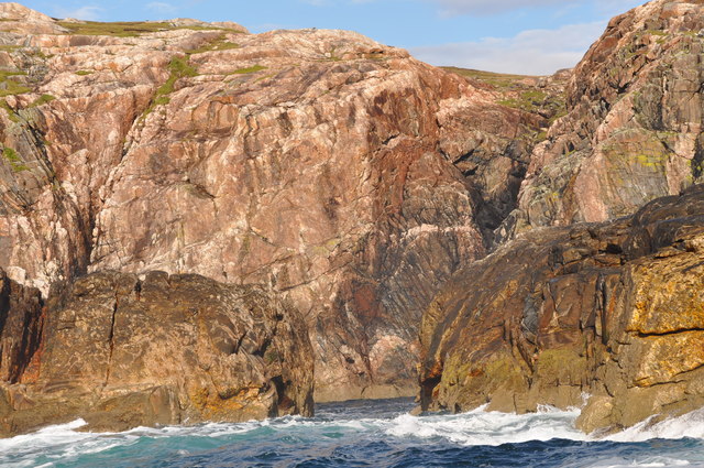
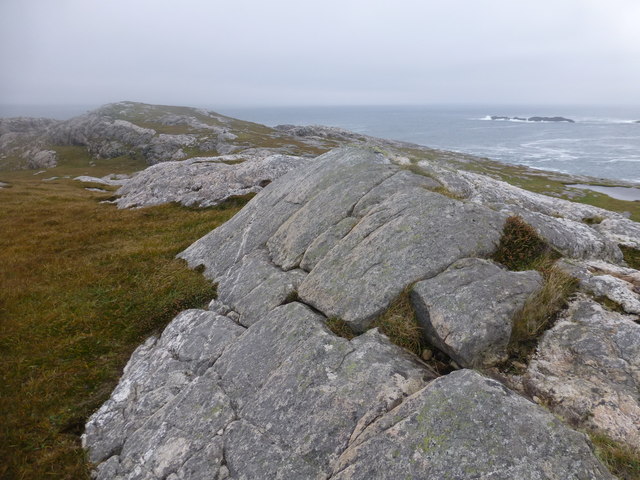
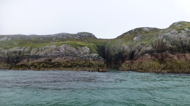
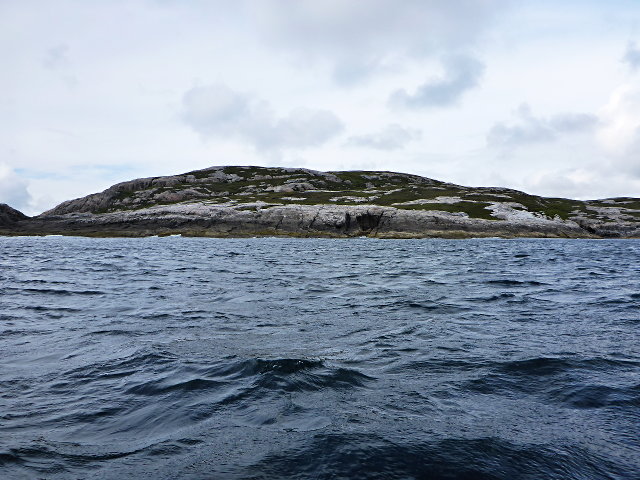
This headland is characterized by its rugged and rocky terrain, which provides a stark contrast to the surrounding landscape. The rocks are predominantly composed of ancient metamorphic rocks, such as gneiss and schist, which have been shaped by centuries of erosion from the relentless waves and wind.
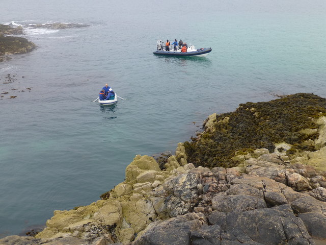
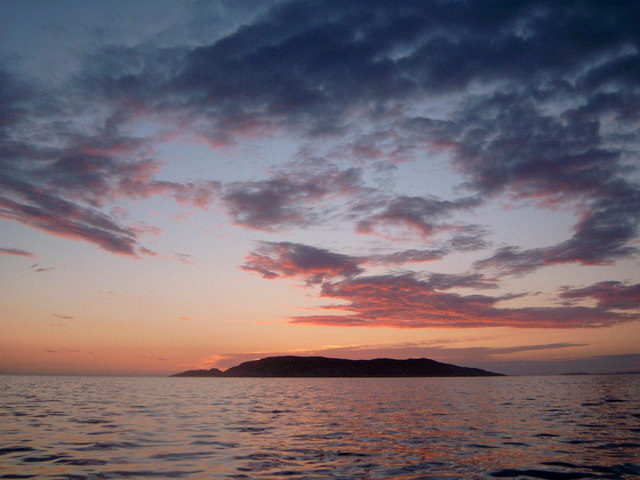
The headland offers stunning panoramic views of the surrounding coastline, with its elevated position providing an excellent vantage point. From here, visitors can witness the dramatic clash of the sea against the rugged cliffs, creating a picturesque and dynamic display.
The area around Rubha Geodha Mòr a' Bhàin Bhig is also renowned for its diverse wildlife. The rocky shores and surrounding waters provide a habitat for a variety of seabirds, including fulmars, razorbills, and guillemots. It is also not uncommon to spot seals and dolphins frolicking in the waters near the headland.
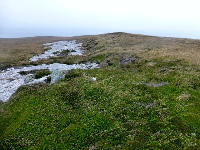
Access to this coastal feature is relatively straightforward, with a well-maintained footpath leading to the headland. However, caution is advised as the terrain can be uneven and slippery, particularly during wet weather.
Overall, Rubha Geodha Mòr a' Bhàin Bhig is a captivating and wild coastal feature, offering visitors a chance to immerse themselves in the dramatic beauty of Scotland's coastline.
If you have any feedback on the listing, please let us know in the comments section below.
Rubha Geodha Mòr a' Bhàin Bhig Images
Images are sourced within 2km of 58.077518/-7.1330091 or Grid Reference NA9721. Thanks to Geograph Open Source API. All images are credited.


Rubha Geodha Mòr a' Bhàin Bhig is located at Grid Ref: NA9721 (Lat: 58.077518, Lng: -7.1330091)
Unitary Authority: Na h-Eileanan an Iar
Police Authority: Highlands and Islands
What 3 Words
///twisty.craziest.unity. Near Tarbert, Na h-Eileanan Siar
Related Wikis

Eilean Mhealasta
Eilean Mhealasta (Mealista Island) is an uninhabited island off the west coast of Lewis in the Outer Hebrides of Scotland. It takes its name from Mealista...

Game pieces of the Lewis chessmen hoard
Game pieces of the Lewis chessmen hoard include the ninety-three game pieces of the Lewis chessmen hoard found on the Isle of Lewis in the Outer Hebrides...

Mealista
Mealista (Scottish Gaelic: Mealasta) was a township in the west of the Isle of Lewis. It is currently largely uninhabited due to the Highland Clearances...

Brenish
Brenish (Scottish Gaelic: Brèinis) is a small village situated on the west coast of the Isle of Lewis, which is part of the Outer Hebrides of Scotland...
Nearby Amenities
Located within 500m of 58.077518,-7.1330091Have you been to Rubha Geodha Mòr a' Bhàin Bhig?
Leave your review of Rubha Geodha Mòr a' Bhàin Bhig below (or comments, questions and feedback).