Rubha an Dùine
Coastal Feature, Headland, Point in Inverness-shire
Scotland
Rubha an Dùine
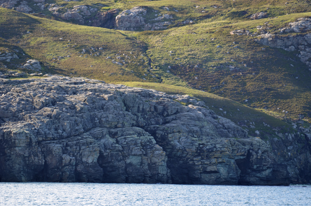
Rubha an Dùine is a prominent coastal feature located in Inverness-shire, Scotland. Also known as Rubha na h-Airde, it is a striking headland that extends into the North Sea, forming a distinctive point along the coast. The name "Rubha an Dùine" translates to "the point of the man" in English.
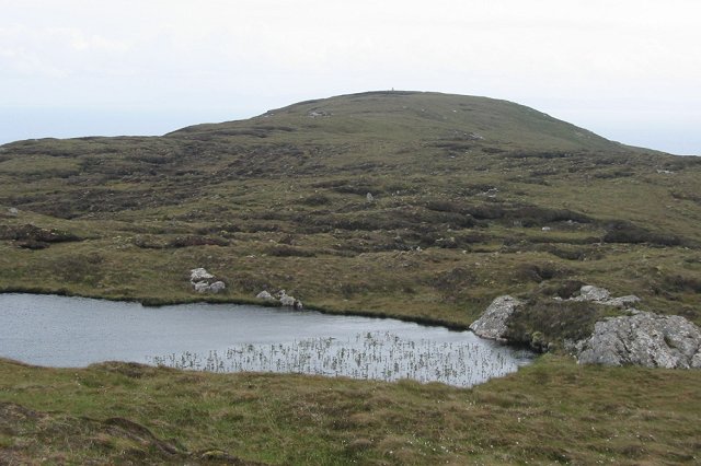
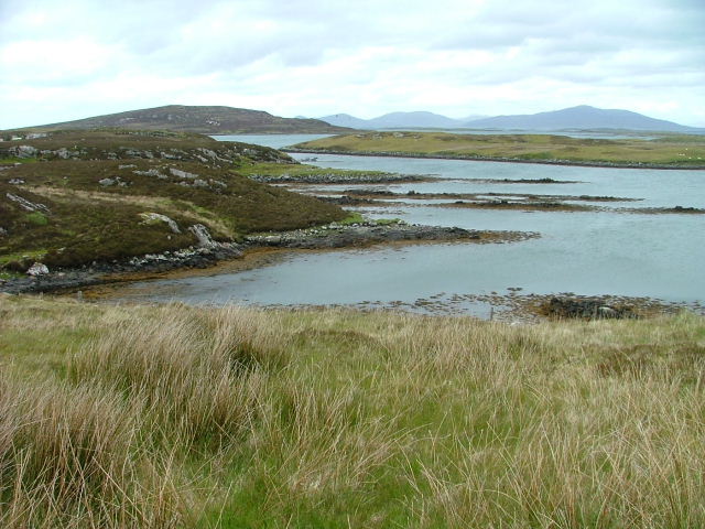
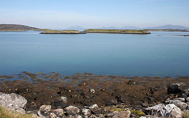
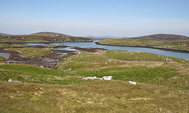
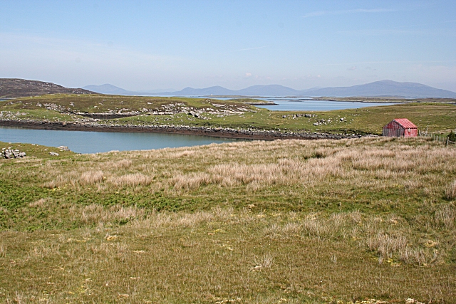
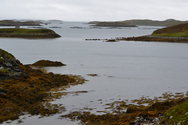
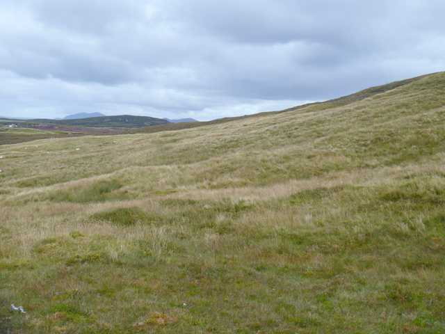
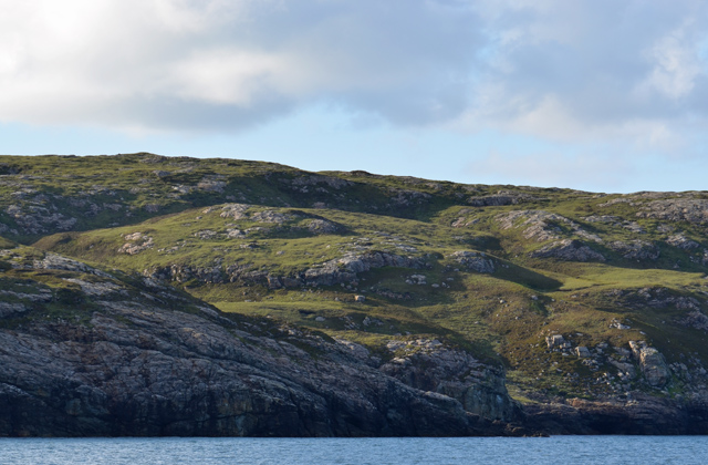
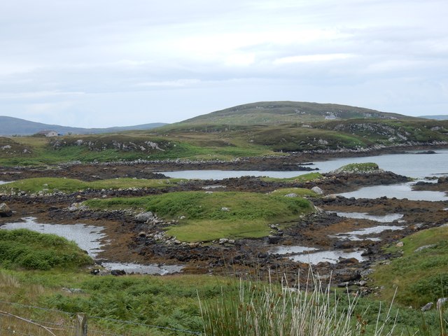
Situated approximately 6 miles northeast of Inverness, Rubha an Dùine offers breathtaking views of the surrounding landscape. The headland rises to a significant height, providing an excellent vantage point for observing the expansive sea and the rugged shoreline. The area boasts a diverse ecosystem, featuring a combination of rocky cliffs, sandy beaches, and lush vegetation.
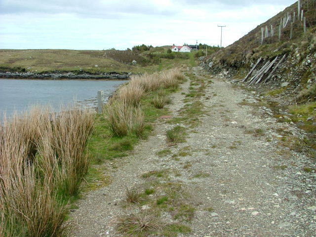
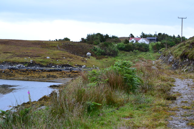
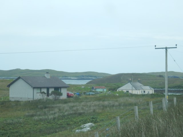
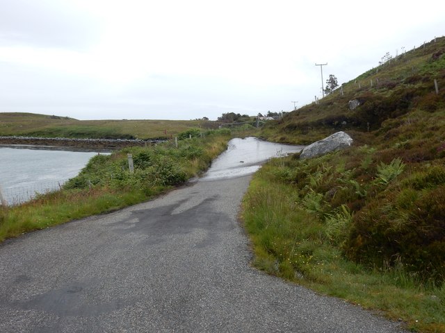
The headland is a popular destination for both locals and tourists, who are drawn to its natural beauty and recreational opportunities. Visitors can enjoy scenic walks along the coastal path, taking in the sights and sounds of the North Sea. The area is also frequented by birdwatchers, as it serves as a habitat for various seabirds, including gulls, cormorants, and puffins.
In addition to its natural attractions, Rubha an Dùine holds historical significance. The headland is home to the ruins of a medieval chapel, known as St. Mary's Chapel. This ancient structure provides a glimpse into the area's rich heritage and adds to its allure.
Overall, Rubha an Dùine is a captivating coastal feature in Inverness-shire, offering visitors a chance to immerse themselves in the beauty of Scotland's rugged coastline while exploring its natural and historical treasures.
If you have any feedback on the listing, please let us know in the comments section below.
Rubha an Dùine Images
Images are sourced within 2km of 57.634884/-7.0705053 or Grid Reference NF9771. Thanks to Geograph Open Source API. All images are credited.
Rubha an Dùine is located at Grid Ref: NF9771 (Lat: 57.634884, Lng: -7.0705053)
Unitary Authority: Na h-Eileanan an Iar
Police Authority: Highlands and Islands
What 3 Words
///trespass.windows.print. Near Lochmaddy, Na h-Eileanan Siar
Nearby Locations
Related Wikis

Hermetray
Hermetray (Scottish Gaelic: Theàrnatraigh) is an uninhabited island off North Uist, in the Outer Hebrides of Scotland. == Geography and geology == Hermetray...
Weavers Point
Weavers Point (Scottish Gaelic: Rubha an Fhigheadair) is a headland to the north of the entrance to Loch Maddy, on the north eastern coastline of North...
Tahay
Tahay (Scottish Gaelic: Taghaigh) is an island in the Outer Hebrides of Scotland. The name originates from the Old Norse tagg-øy meaning island with a...

South Lewis, Harris and North Uist National Scenic Area
South Lewis, Harris and North Uist is a large national scenic area (NSA) in the Western Isles of Scotland. It is one of 40 such areas in Scotland, which...
Nearby Amenities
Located within 500m of 57.634884,-7.0705053Have you been to Rubha an Dùine?
Leave your review of Rubha an Dùine below (or comments, questions and feedback).