Raireanais

Coastal Feature, Headland, Point in Inverness-shire

Scotland

Raireanais

Flodda causeway
Flodda causeway Credit: Catherine Morgan

Raireanais is a prominent coastal feature located in Inverness-shire, Scotland. It is a headland that juts out into the North Sea, forming a point that offers stunning views of the surrounding coastline. The name Raireanais is derived from the Gaelic language and translates to "beautiful headland," which aptly describes the area's natural beauty.

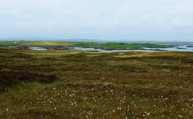
This headland is characterized by its rugged cliffs that overlook the sea, providing a dramatic backdrop to the picturesque landscape. The cliffs are made up of layers of sedimentary rocks, exhibiting various colors and textures, which are a testament to the geological history of the region.

Raireanais is known for its diverse wildlife, making it a popular destination for nature enthusiasts. Seabirds such as gannets, puffins, and kittiwakes can be spotted nesting on the cliffs, while seals can often be seen basking on the nearby rocks. The surrounding waters are also home to a variety of fish species, attracting anglers from far and wide.

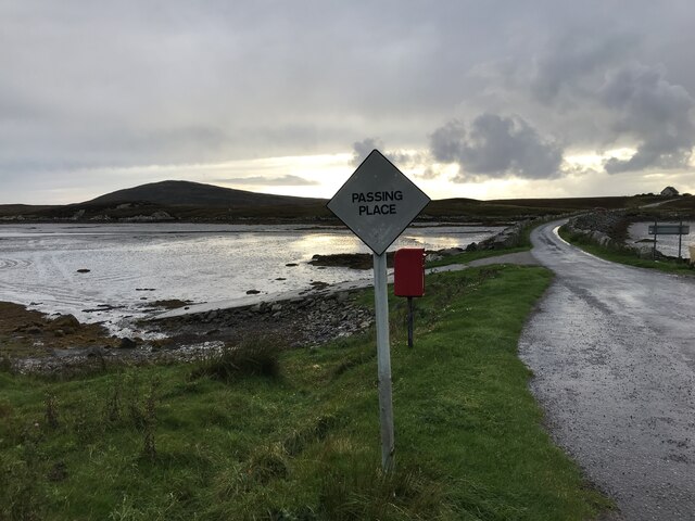
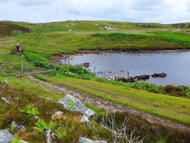
The headland is easily accessible by foot, with several walking trails leading to the point. These trails meander through rolling hills and heathland, providing opportunities for visitors to immerse themselves in the area's natural surroundings.

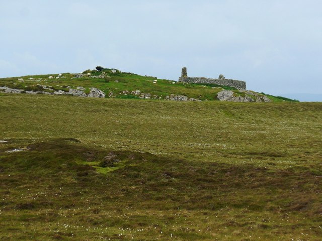
In addition to its natural attractions, Raireanais also holds historical significance. Ruins of an ancient fort can be found on the headland, serving as a reminder of the area's rich cultural heritage.

Overall, Raireanais is a captivating coastal feature that offers a harmonious blend of natural beauty, diverse wildlife, and historical importance. It is a must-visit destination for anyone exploring the enchanting landscapes of Inverness-shire.

If you have any feedback on the listing, please let us know in the comments section below.
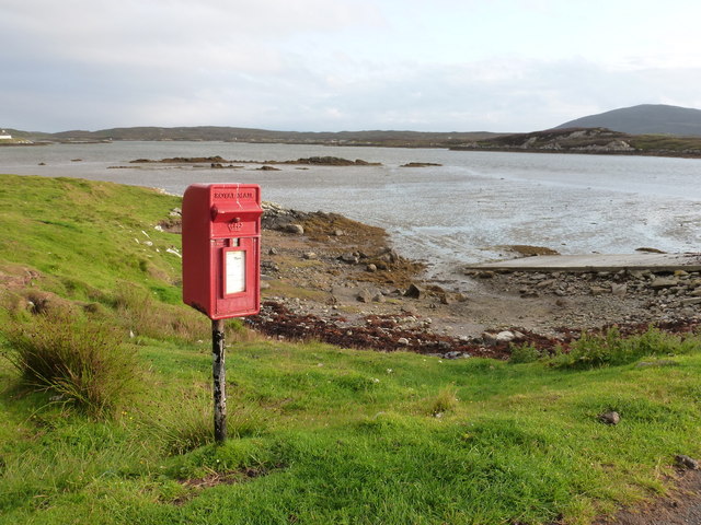
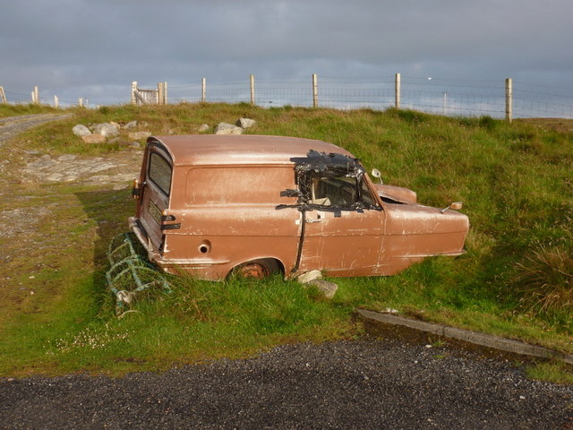
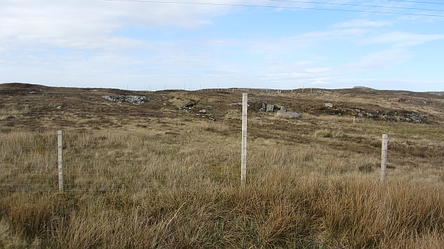
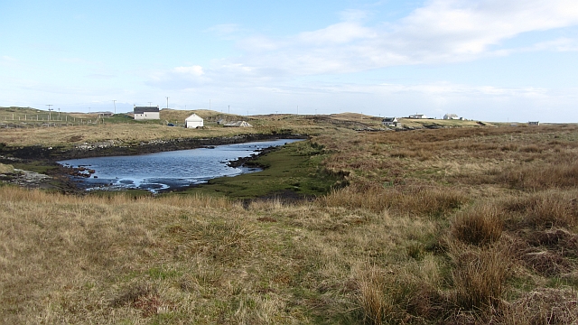
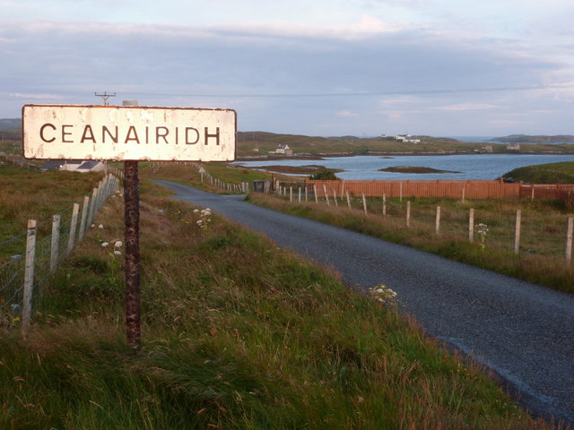
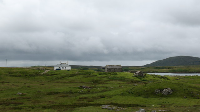
Raireanais Images

Images are sourced within 2km of 57.474789/-7.2495998 or Grid Reference NF8554. Thanks to Geograph Open Source API. All images are credited.

Flodda causeway
Flodda causeway
The track to Roisinis Loch an Tairbh to the right.  The sheepfold shown by the OS in this area can just be seen as a fenced structure on the horizon.
The track to Roisinis
Loch an Tairbh to the right. The sheepfold shown by the OS in this area can just be seen as a fenced structure on the horizon.
Old ruined sheiling by the Roisinis track The OS marks a cup-marked stone by this ruin.
Old ruined sheiling by the Roisinis track
The OS marks a cup-marked stone by this ruin.
Bog cotton and moorland to sea loch Oban Uaine Houses on Grimsay may just be seen in the distance.
Bog cotton and moorland to sea loch Oban Uaine
Houses on Grimsay may just be seen in the distance.
Bagh Sgotbheinn Not all Hebridean buildings fall into disrepair. I note that Dave Fergusson's 2007 photograph includes this small building, but now, twelve years later it has a new roof and is looking well cared for.
Bagh Sgotbheinn
Not all Hebridean buildings fall into disrepair. I note that Dave Fergusson's 2007 photograph includes this small building, but now, twelve years later it has a new roof and is looking well cared for.
Kallin: postbox № HS6 25 One of four postboxes on the island of Grimsay. Apart from the one on the main road close to the post office, they are emptied at 11:45am on weekdays and at 9:30am on Saturdays.
Kallin: postbox № HS6 25
One of four postboxes on the island of Grimsay. Apart from the one on the main road close to the post office, they are emptied at 11:45am on weekdays and at 9:30am on Saturdays.
Island Flodda: postbox № HS7 79 A small postbox serving this small island, just off the coast of Benbecula - we look across the Flodda Sound (Caolas Fhlodaigh) between the two. The box is emptied at 11am on weekdays and at 8:30am on Saturdays.
Island Flodda: postbox № HS7 79
A small postbox serving this small island, just off the coast of Benbecula - we look across the Flodda Sound (Caolas Fhlodaigh) between the two. The box is emptied at 11am on weekdays and at 8:30am on Saturdays.
Island Flodda: a not-so-reliant An old three-wheeler has reached the end of the road - literally and figuratively.
Island Flodda: a not-so-reliant
An old three-wheeler has reached the end of the road - literally and figuratively.
Loch, Rubha Dubh The road comes between this loch and the sea.
Loch, Rubha Dubh
The road comes between this loch and the sea.
Field, Ceannaraigh The highest ground on Grimsay is out there somewhere.
Field, Ceannaraigh
The highest ground on Grimsay is out there somewhere.
Inlet, Ceannaraigh An inlet of Bàgh Sgotbheinn, Grimsay.
Inlet, Ceannaraigh
An inlet of Bàgh Sgotbheinn, Grimsay.
Grimsay: former church at Scotvein That this is still marked as a church on all scales of mapping currently (December 2012) perhaps suggests that the conversion to residential use is relatively recent.
Grimsay: former church at Scotvein
That this is still marked as a church on all scales of mapping currently (December 2012) perhaps suggests that the conversion to residential use is relatively recent.
Grimsay: entering Ceanairidh The late evening sun is reflecting brightly off the sign which, as is often the case with these Gaelic names, has a slight spelling discrepancy compared with the map.
Grimsay: entering Ceanairidh
The late evening sun is reflecting brightly off the sign which, as is often the case with these Gaelic names, has a slight spelling discrepancy compared with the map.
Grimsay: sunset after a rainy day The sun belligerently came out late in the evening and this beautiful sunset belies the fact that it was wet and windy almost throughout.
Grimsay: sunset after a rainy day
The sun belligerently came out late in the evening and this beautiful sunset belies the fact that it was wet and windy almost throughout.
Sheep Fanks on the Kallin Road On the island of Griomasaigh.
Sheep Fanks on the Kallin Road
On the island of Griomasaigh.
Croft Building Complete with Seagull. On the edge of Bágh Sgotbheinn.
Croft Building
Complete with Seagull. On the edge of Bágh Sgotbheinn.
Croft Buildings Overlooking Bágh Sgotbheinn.
Croft Buildings
Overlooking Bágh Sgotbheinn.
House by the sea. House at the end of a track on Grimsay and overlooking the channel between Grimsay and Benbecula.
House by the sea.
House at the end of a track on Grimsay and overlooking the channel between Grimsay and Benbecula.
Show me another place!

Raireanais is located at Grid Ref: NF8554 (Lat: 57.474789, Lng: -7.2495998)

Unitary Authority: Na h-Eileanan an Iar

Police Authority: Highlands and Islands

What 3 Words

///blast.vast.easily. Near Balivanich, Na h-Eileanan Siar

Related Wikis

Flodaigh

Flodaigh is a tidal island lying to the north of Benbecula and south of Grimsay in the Outer Hebrides, Scotland. It is connected to Benbecula by a causeway...

Grimsay

Grimsay (Scottish Gaelic: Griomasaigh) is a tidal island in the Outer Hebrides of Scotland. == Geography == Grimsay is the largest of the low-lying stepping...

Baile Glas

Baile Glas or Ballaglasa (Scottish Gaelic: Am Baile Glas) is a settlement on Grimsay in the Outer Hebrides, Scotland. Ballaglasa is within the parish of...

Fraoch-Eilean

Fraoch-eilean is a small island with an uncertain population north of Benbecula in the Outer Hebrides of Scotland. It is about 55 hectares (140 acres...

Ronay

Ronay (Scottish Gaelic: Rònaigh) is an island in the Outer Hebrides of Scotland, which lies a short distance off the east coast of Grimsay. == Geography... ==

Uist

Uist is a group of six islands that are part of the Outer Hebridean Archipelago, which is part of the Outer Hebrides of Scotland. North Uist and South...

Benbecula

Benbecula ( ; Scottish Gaelic: Beinn nam Fadhla or Beinn na Faoghla) is an island of the Outer Hebrides in the Atlantic Ocean off the west coast of Scotland...

Uachdar

Uachdar (Scottish Gaelic: An t-Uachdar [ən̪ˠ ˈt̪ʰuəxkəɾ]) is a settlement on the Outer Hebridean Island of Benbecula. Uachdar is within the parish of South...

Have you been to Raireanais?

Leave your review of Raireanais below (or comments, questions and feedback).