Ornais

Coastal Feature, Headland, Point in Inverness-shire

Scotland

Ornais

Fish farming near Eilean Ornais
Fish farming near Eilean Ornais Credit: Toby Speight

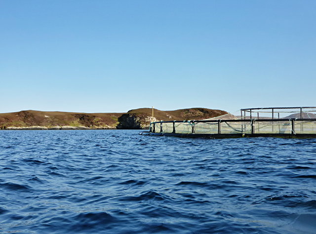
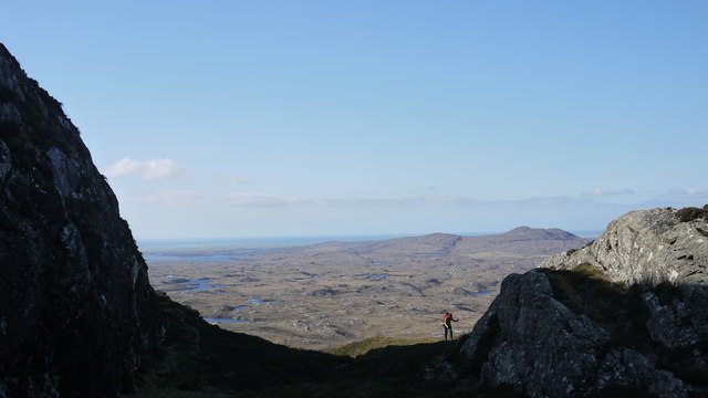
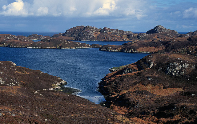
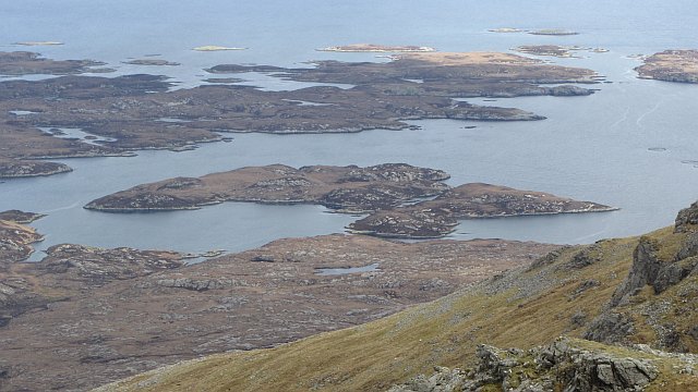
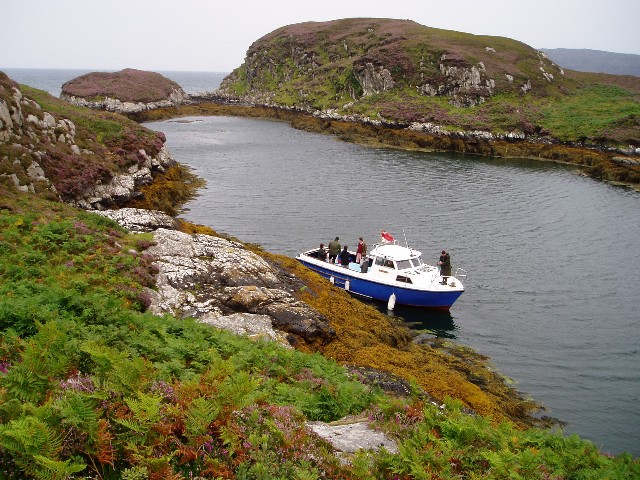
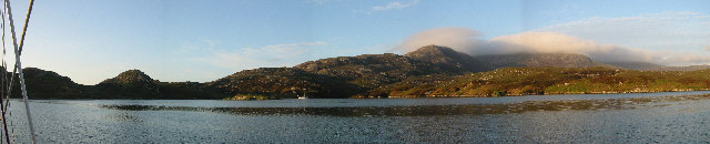
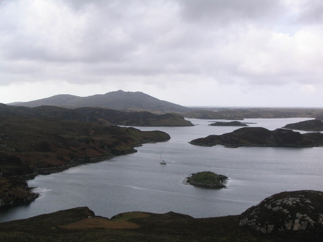
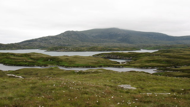
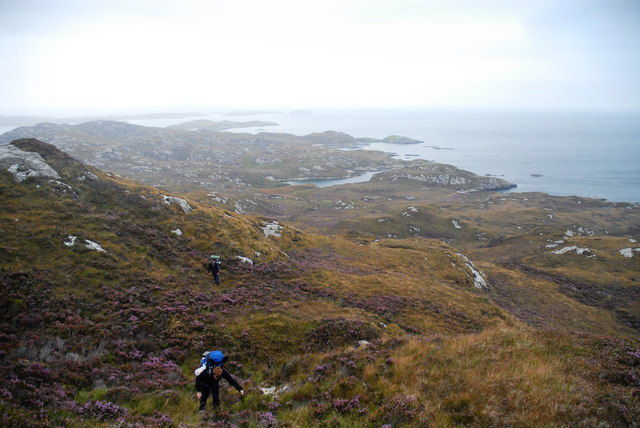
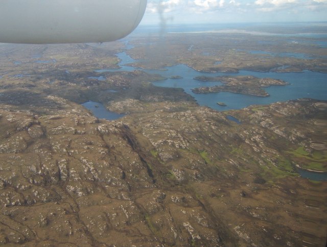
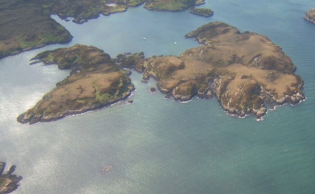
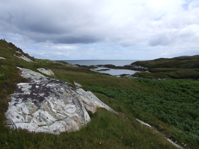
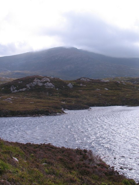
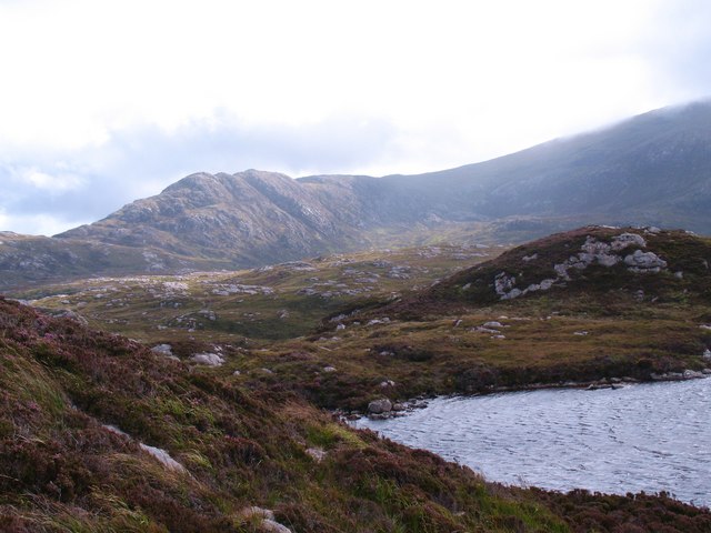
Ornais is a small coastal feature located in Inverness-shire, Scotland. It is a rugged headland that juts out into the North Sea, offering stunning views of the surrounding coastline. The point is characterized by its rocky cliffs, which are often battered by the strong winds and crashing waves of the sea.

Ornais is a popular spot for outdoor enthusiasts, offering opportunities for hiking, birdwatching, and photography. The headland is home to a variety of seabirds, including gulls, puffins, and cormorants, making it a haven for birdwatchers. Visitors can also enjoy fishing and beachcombing along the rocky shoreline.

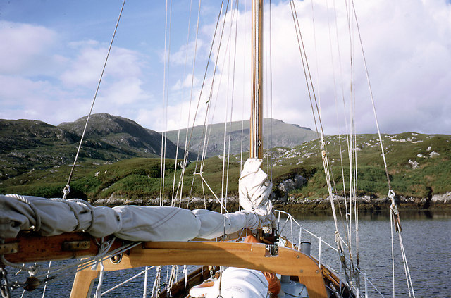
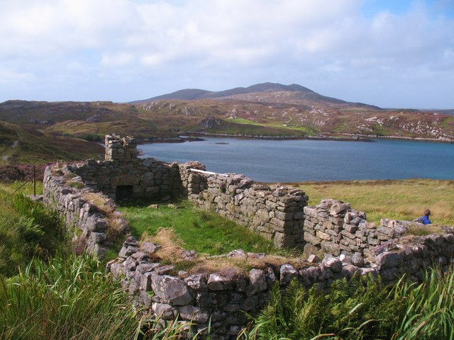
The area surrounding Ornais is rich in history, with ancient ruins and archaeological sites scattered throughout the landscape. The headland is also known for its picturesque lighthouse, which serves as a beacon for ships navigating the treacherous waters of the North Sea.

Overall, Ornais is a beautiful and rugged coastal feature that offers visitors a glimpse of Scotland's wild and untamed beauty. Its stunning views and diverse wildlife make it a must-visit destination for nature lovers and outdoor enthusiasts.

If you have any feedback on the listing, please let us know in the comments section below.

Ornais Images

Images are sourced within 2km of 57.321797/-7.2310521 or Grid Reference NF8537. Thanks to Geograph Open Source API. All images are credited.

Fish farming near Eilean Ornais
Climbing to the ridge at Maol Martaig
Caolas Mòr Caolas Mòr - The great anchorage.  As impressive a location from the land as from a boat at anchor. <a href="https://www.geograph.org.uk/photo/334015">NF8438 : At anchor in Caolas Mòr - the great anchorage</a> and <a href="https://www.geograph.org.uk/photo/599470">NF8438 : Caolas Mòr - the great anchorage</a>.
Caolas Mòr
Caolas Mòr - The great anchorage. As impressive a location from the land as from a boat at anchor. NF8438 : At anchor in Caolas Mòr - the great anchorage and NF8438 : Caolas Mòr - the great anchorage.
Siolaigh Mòr Island off South Uist, seen from Hecla.
Siolaigh Mòr
Island off South Uist, seen from Hecla.
Natural harbour, Acarsaid Falaich The boat belongs to the owners of the local big house, who had landed on this remote part of the east coast of South Uist for a picnic!
Natural harbour, Acarsaid Falaich
The boat belongs to the owners of the local big house, who had landed on this remote part of the east coast of South Uist for a picnic!
Wizard Pool, Loch Skipport panorama of the anchorage of Wizard Pool. The mountain in the distance, partially in cloud, is Hecla (606m)
Wizard Pool, Loch Skipport
panorama of the anchorage of Wizard Pool. The mountain in the distance, partially in cloud, is Hecla (606m)
Wizard Pool, Loch Skiport
At anchor in Caolas Mòr - the great anchorage Caolas Mòr is a very well protected anchorage at the entrance to Loch Skiport.  The entrance to the anchorage is to the northwest - the direction of sunset in midsummer. The yacht is the 14.7 m long Ismana built in 1951.  See <span class="nowrap"><a title="http://www.sandemanyachtcompany.co.uk/yacht/272/laurent-giles-47-ft-yawl-1951" rel="nofollow ugc noopener" href="http://www.sandemanyachtcompany.co.uk/yacht/272/laurent-giles-47-ft-yawl-1951">Link</a><img style="margin-left:2px;" alt="External link" title="External link - shift click to open in new window" src="https://s1.geograph.org.uk/img/external.png" width="10" height="10"/></span>.  The yacht provided an excellent base for exploring the Hebrides.
At anchor in Caolas Mòr - the great anchorage
Caolas Mòr is a very well protected anchorage at the entrance to Loch Skiport. The entrance to the anchorage is to the northwest - the direction of sunset in midsummer. The yacht is the 14.7 m long Ismana built in 1951. See LinkExternal link. The yacht provided an excellent base for exploring the Hebrides.
Fresh water & Salt water looking south from a little used path across a freshwater lochan towards Loch Sgiopoirt.
Fresh water & Salt water
looking south from a little used path across a freshwater lochan towards Loch Sgiopoirt.
Caolas Mòr - the great anchorage No houses are visible from this favoured anchorage for yachts in South Uist. The yacht is the 14 m Ismana built in 1951.  See <span class="nowrap"><a title="http://www.sandemanyachtcompany.co.uk/yacht/272/laurent-giles-47-ft-yawl-1951" rel="nofollow ugc noopener" href="http://www.sandemanyachtcompany.co.uk/yacht/272/laurent-giles-47-ft-yawl-1951">Link</a><img style="margin-left:2px;" alt="External link" title="External link - shift click to open in new window" src="https://s1.geograph.org.uk/img/external.png" width="10" height="10"/></span>.  The yacht provided a home for a week's cruising of the Western Isles.
Caolas Mòr - the great anchorage
No houses are visible from this favoured anchorage for yachts in South Uist. The yacht is the 14 m Ismana built in 1951. See LinkExternal link. The yacht provided a home for a week's cruising of the Western Isles.
The slog to Uisinish Bay Slogging through the trackless heather on a wild corner of South Uist.
The slog to Uisinish Bay
Slogging through the trackless heather on a wild corner of South Uist.
Loch Bein and Loch Sgiopoirt Loch Bein is on the left; the island to the right is Siolagh Mor in Loch Sgiopoirt.
Loch Bein and Loch Sgiopoirt
Loch Bein is on the left; the island to the right is Siolagh Mor in Loch Sgiopoirt.
Siolag Mor These islands lie at the eastern end of Loch Sgiopoirt. The almost-circular bay is Caolas Mor.
Siolag Mor
These islands lie at the eastern end of Loch Sgiopoirt. The almost-circular bay is Caolas Mor.
Bagh Clann Alasdair from below the ruined croft
Ruined dwelling above Caolas Mor The map shows 'old shielings'at this point, so this must be one of them, although it is on a rather grand scale if it is just a shieling. No more were visible in the immediate vicinity. This is at the end of the dry path.
Ruined dwelling above Caolas Mor
The map shows 'old shielings'at this point, so this must be one of them, although it is on a rather grand scale if it is just a shieling. No more were visible in the immediate vicinity. This is at the end of the dry path.
Loch nam Faoileann Looking across this small loch towards the cloud covered hills to the south.
Loch nam Faoileann
Looking across this small loch towards the cloud covered hills to the south.
Bog, heather and rock Looking across a corner of Loch nam Faoileann towards the rocky slopes of Beinn na h-Aire, an outlier of the Hecla group. The map is accurate in that is shows no path beyond the shielings in NF8338. Chest waders are recommended if one is to venture this far.
Bog, heather and rock
Looking across a corner of Loch nam Faoileann towards the rocky slopes of Beinn na h-Aire, an outlier of the Hecla group. The map is accurate in that is shows no path beyond the shielings in NF8338. Chest waders are recommended if one is to venture this far.
Show me another place!

Ornais is located at Grid Ref: NF8537 (Lat: 57.321797, Lng: -7.2310521)

Unitary Authority: Na h-Eileanan an Iar

Police Authority: Highlands and Islands

What 3 Words

///rare.major.galloped. Near Balivanich, Na h-Eileanan Siar

Related Wikis

Ushenish Lighthouse

The Ushenish Lighthouse is an active lighthouse located in South Uist, Outer Hebrides, Scotland. == History == Ushenish Lighthouse was designed by engineers...

Hecla (South Uist)

Hecla or Thacla is a mountain on the island of South Uist in the Outer Hebrides of Scotland. With a height of 606 metres (1,988 ft), it is the second-highest...

Loch Druidibeg

Loch Druidibeag is a freshwater loch situated on the island of South Uist, in the Outer Hebrides of Scotland. The loch is near the northern end of the...

South Uist Machair and Lochs

The South Uist Machair and Lochs is a protected wetland area on the west coast of South Uist in the Outer Hebrides of Scotland. A total of 5,019 hectares...

Nearby Amenities

Located within 500m of 57.321797,-7.2310521
Created By: dmgroom_coastlines
Lat/Long: 57.32148/-7.23865
Created By: dmgroom_coastlines
Lat/Long: 57.32122/-7.23867
The data included in this document is from www.openstreetmap.org. The data is made available under ODbL.

Have you been to Ornais?

Leave your review of Ornais below (or comments, questions and feedback).