Rubha Basadearn

Coastal Feature, Headland, Point in Inverness-shire

Scotland

Rubha Basadearn

Sheisinis A rocky beach and tidal island at the mouth of Acairseid Mhòr, a sea loch on the east side of Eriskay.
Sheisinis Credit: Richard Webb

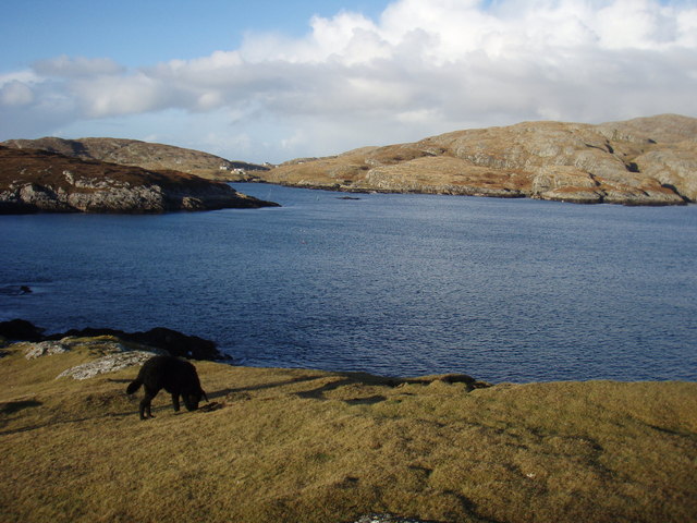
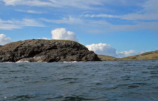
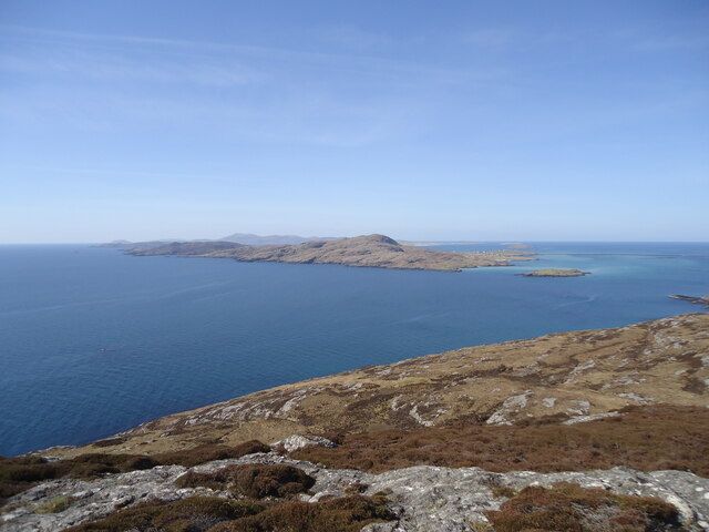
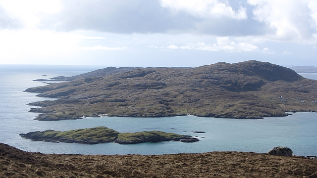
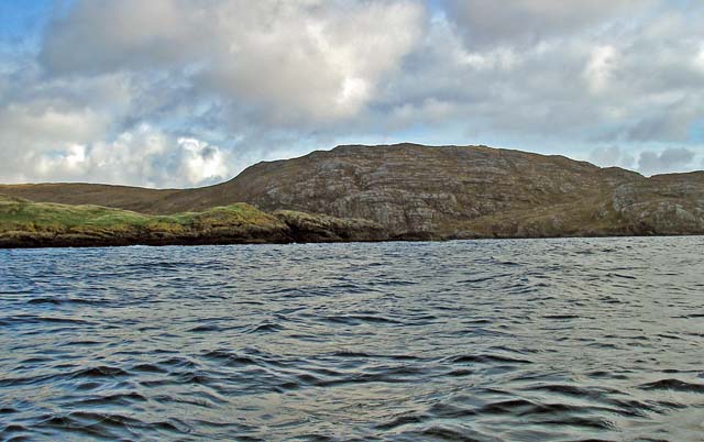
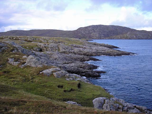
Rubha Basadearn is a captivating coastal feature located in Inverness-shire, Scotland. Situated on the western coast of the Scottish Highlands, this headland juts out into the Atlantic Ocean, offering stunning views and captivating natural beauty.

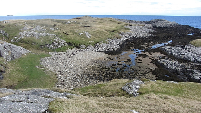
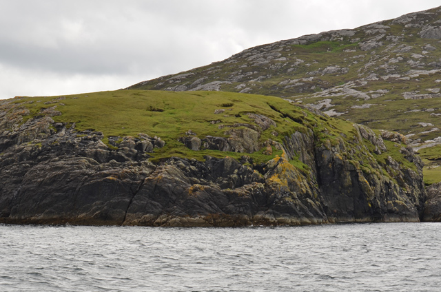
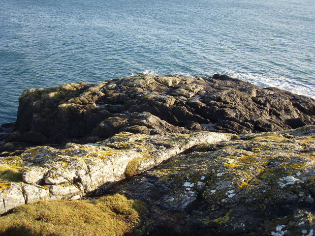
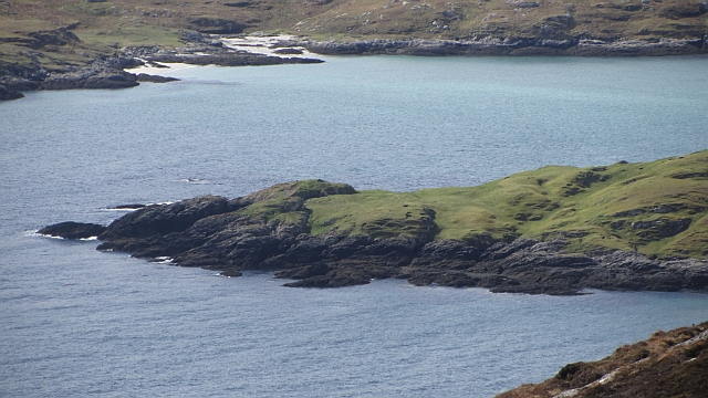
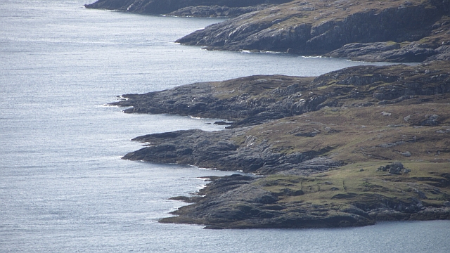
The rugged headland of Rubha Basadearn boasts dramatic cliffs that rise majestically from the sea, creating a picturesque backdrop against the crashing waves. The cliffs are composed of ancient rock formations, providing a glimpse into the geological history of the area. Visitors can witness the power of the ocean as it relentlessly shapes the landscape, eroding the cliffs and creating unique formations.

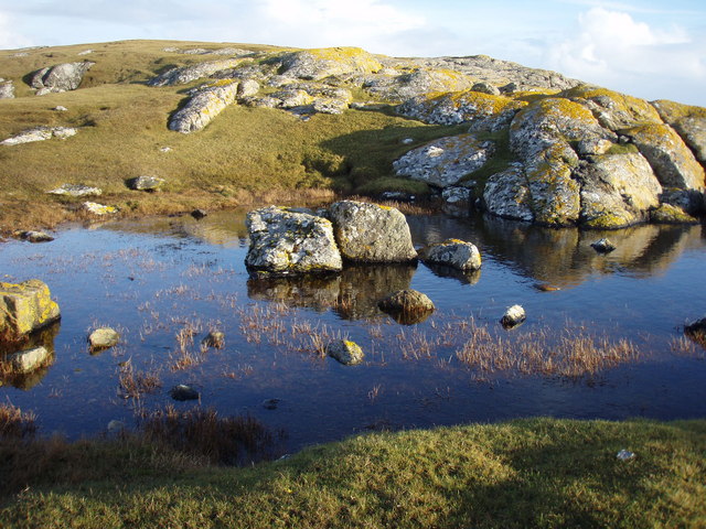
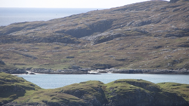
The headland is an ideal spot for nature enthusiasts and birdwatchers, as it serves as a habitat for a variety of bird species. Bird lovers can catch a glimpse of seabirds such as guillemots, razorbills, and fulmars, as well as various migratory birds during the appropriate seasons. The surrounding waters also support diverse marine life, making Rubha Basadearn an excellent location for marine wildlife spotting.

Accessible via a scenic coastal path, Rubha Basadearn offers a peaceful and tranquil setting for those seeking solitude and natural beauty. The path itself provides breathtaking panoramic views of the surrounding coastline and the distant mountains, making it a favorite spot for hikers and photographers.

Overall, Rubha Basadearn is a captivating coastal feature that showcases the raw power of nature. Its rugged cliffs, abundant birdlife, and stunning views make it a must-visit destination for nature lovers and those seeking a glimpse into the beauty of the Scottish Highlands.

If you have any feedback on the listing, please let us know in the comments section below.

Rubha Basadearn Images

Images are sourced within 2km of 57.077167/-7.2750838 or Grid Reference NF8010. Thanks to Geograph Open Source API. All images are credited.

Sheisinis A rocky beach and tidal island at the mouth of Acairseid Mhòr, a sea loch on the east side of Eriskay.
Sheisinis
A rocky beach and tidal island at the mouth of Acairseid Mhòr, a sea loch on the east side of Eriskay.
Rubha Liath A headland to the south of the entrance to Big Harbour (Acairseid Mhòr) on Eriskay.
Rubha Liath
A headland to the south of the entrance to Big Harbour (Acairseid Mhòr) on Eriskay.
Small pool on Rubha Liath The peninsula was characterised by short grass with rocky outcrops ending in a rocky point.
Small pool on Rubha Liath
The peninsula was characterised by short grass with rocky outcrops ending in a rocky point.
Rubha Liath The rocky end of the point.
Rubha Liath
The rocky end of the point.
Acairseid Mhòr Taken from Rubha Liath this loch cuts deep into Eriskay.
Acairseid Mhòr
Taken from Rubha Liath this loch cuts deep into Eriskay.
Rubha Liath and looking into Acairseid Mhòr
Eriskay, seen from Rubha Mealabhaig on South Uist Eriskay is a fairly small island, perhaps best known as the location of "Whisky Galore". Its summit is Beinn Sciathan, 185m in <a href="https://www.geograph.org.uk/gridref/NF7911">NF7911</a>. The causeway from South Uist can be seen on the right, and beyond Eriskay is the island of Barra.
Eriskay, seen from Rubha Mealabhaig on South Uist
Eriskay is a fairly small island, perhaps best known as the location of "Whisky Galore". Its summit is Beinn Sciathan, 185m in NF7911. The causeway from South Uist can be seen on the right, and beyond Eriskay is the island of Barra.
Ròisinis Caolas Eirisgeigh, the Sound of Eriskay with a view over Calbhaigh (the island where the whisky exporting SS Politician ended up) from South Uist.  Ròisinis has several ruins and a path in from the now inhabited part of Eriskay.
Ròisinis
Caolas Eirisgeigh, the Sound of Eriskay with a view over Calbhaigh (the island where the whisky exporting SS Politician ended up) from South Uist. Ròisinis has several ruins and a path in from the now inhabited part of Eriskay.
Calbhaigh and  Caolas Eirisgeigh The small island between Eriskay and South Uist was the last resting place of the SS Politician and a large, but rapidly diminishing cargo of whisky. A view from Roineabhal on South Uist of the sea east of the Eriskay Causeway.
Calbhaigh and Caolas Eirisgeigh
The small island between Eriskay and South Uist was the last resting place of the SS Politician and a large, but rapidly diminishing cargo of whisky. A view from Roineabhal on South Uist of the sea east of the Eriskay Causeway.
Calbhaigh The eastern side of the island.
Calbhaigh
The eastern side of the island.
Ròisinis The northeastern corner of Eriskay.
Ròisinis
The northeastern corner of Eriskay.
Beinn Sciathan on Eriskay/Eiriosgaigh View from South Uist.
Beinn Sciathan on Eriskay/Eiriosgaigh
View from South Uist.
Rosinish, Eriskay A rather soggy path leading through the old settlement at Rosinish.
Rosinish, Eriskay
A rather soggy path leading through the old settlement at Rosinish.
Ruined croft at Rosinish. Maybe this was once a traditional 'black house', though the windows look a trifle large. Note that the photographer's rather dated OS map shows the Anglicised 'Rosinish', whereas the up to date map extract on the website shows the Gaelic form [Roisinis].
Ruined croft at Rosinish.
Maybe this was once a traditional 'black house', though the windows look a trifle large. Note that the photographer's rather dated OS map shows the Anglicised 'Rosinish', whereas the up to date map extract on the website shows the Gaelic form [Roisinis].
The small island of Calbhaigh This attractive island is set in Caolas Eirisgeigh (Sound of Eriskay).
The small island of Calbhaigh
This attractive island is set in Caolas Eirisgeigh (Sound of Eriskay).
Beinn Sciathan from Rubha Basadearn
East coast of Eriskay. This is the wilder coastline of Eriskay where ruined crofts may be found indicating a once thriving community.
East coast of Eriskay.
This is the wilder coastline of Eriskay where ruined crofts may be found indicating a once thriving community.
Camping with the coos. Camping close to the abandoned community of Roisinis on Eriskay.
Camping with the coos.
Camping close to the abandoned community of Roisinis on Eriskay.
Show me another place!

Rubha Basadearn is located at Grid Ref: NF8010 (Lat: 57.077167, Lng: -7.2750838)

Unitary Authority: Na h-Eileanan an Iar

Police Authority: Highlands and Islands

What 3 Words

///crunches.pursue.amicably. Near Lochboisdale, Na h-Eileanan Siar

Nearby Locations

Rubha Basadearn Acairseid

Related Wikis

Beinn Sciathan

Ben Scrien, is the highest point on the Outer Hebridean island of Eriskay. Described as an apparently "uninspiring lump" (Michael Fitzpatrick, 2012) it...

Eriskay

Eriskay (Scottish Gaelic: Èirisgeigh), from the Old Norse for "Eric's Isle", is an island and community council area of the Outer Hebrides in northern...

Calvay

Calvay (Scottish Gaelic: Calbhaigh) is a currently uninhabited island situated in the Sound of Eriskay in the Outer Hebrides, at grid reference NF810126...

Ceann a' Ghàraidh

Ceann a' Ghàraidh is the location of the ferry terminal on the south-western side of the island of Eriskay in the Outer Hebrides of Scotland. It provides...

Nearby Amenities

Located within 500m of 57.077167,-7.2750838
Created By: dmgroom_coastlines
Lat/Long: 57.0806/-7.27219
Created By: dmgroom_coastlines
Lat/Long: 57.07592/-7.27593
Rubha nam Bàsadairean
Alt Name: Rubha Basadearn
Natural: cape
Lat/Long: 57.0772826/-7.2736574
Rònais
Place: locality
Lat/Long: 57.0805176/-7.2758676
Carraig Chisholm
Place: locality
Lat/Long: 57.0748241/-7.2757891
Gob Rubha nam Bàsadairean
Natural: bay
Lat/Long: 57.0769115/-7.2722645
The data included in this document is from www.openstreetmap.org. The data is made available under ODbL.

Have you been to Rubha Basadearn?

Leave your review of Rubha Basadearn below (or comments, questions and feedback).