Acairseid

Coastal Feature, Headland, Point in Inverness-shire

Scotland

Acairseid

Sheisinis A rocky beach and tidal island at the mouth of Acairseid Mhòr, a sea loch on the east side of Eriskay.
Sheisinis Credit: Richard Webb

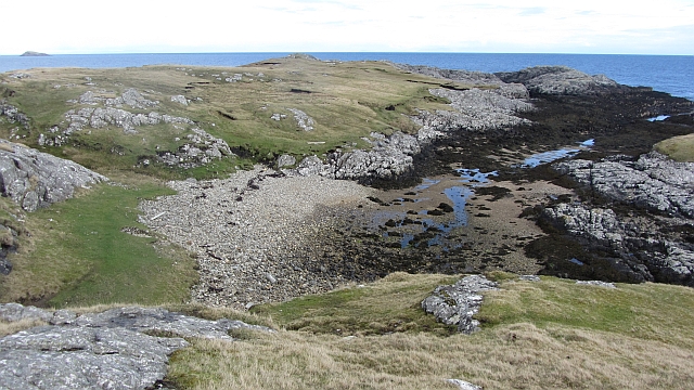
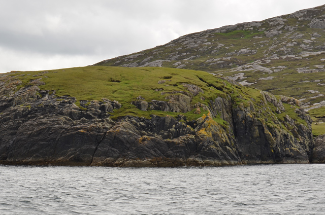
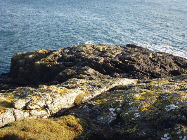
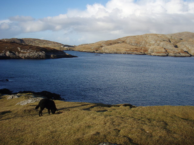
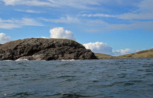
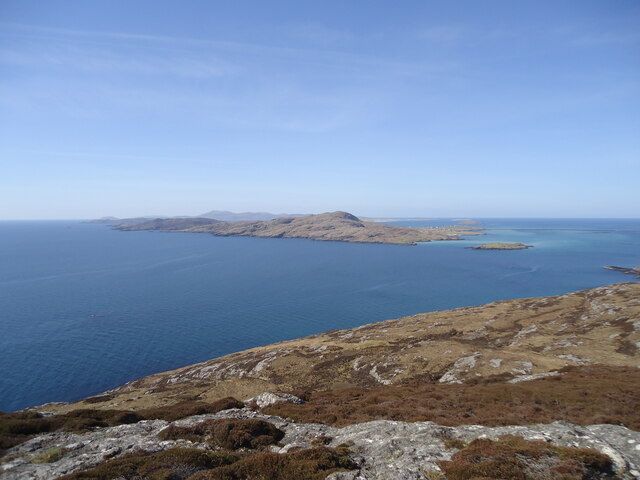
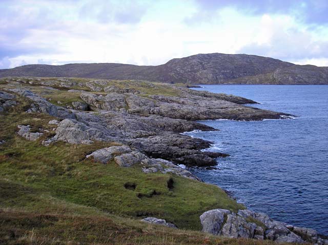
Acairseid is a prominent coastal feature located in Inverness-shire, Scotland. It is a headland that extends into the North Sea, forming a distinct point along the rugged coastline.

This headland is characterized by its dramatic cliffs, which rise steeply from the sea, offering breathtaking views of the surrounding landscape. The cliffs are composed of ancient rock formations, displaying layers of sedimentary rock that have been shaped by erosion over millions of years.

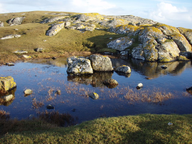
Acairseid is known for its diverse wildlife, attracting birdwatchers and nature enthusiasts from all over. The headland provides an ideal habitat for various seabirds, including gannets, puffins, and razorbills. Visitors can often spot these birds nesting on the sheer cliffs during the breeding season.

The headland also offers opportunities for outdoor activities such as hiking and photography. There are well-maintained trails that wind along the cliffs, allowing visitors to explore the area and capture its natural beauty.

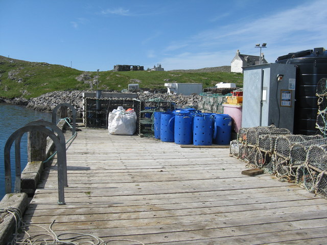
Acairseid is easily accessible by road, with a parking area located nearby for convenience. It is a popular spot for locals and tourists alike, who come to admire the stunning views, experience the serenity of the sea, and immerse themselves in the rugged charm of the Scottish coastline.

In summary, Acairseid is a captivating headland in Inverness-shire, Scotland, known for its impressive cliffs, diverse wildlife, and opportunities for outdoor activities. It is a must-visit destination for those seeking a memorable coastal experience in the highlands of Scotland.

If you have any feedback on the listing, please let us know in the comments section below.

Acairseid Images

Images are sourced within 2km of 57.070255/-7.278941 or Grid Reference NF8010. Thanks to Geograph Open Source API. All images are credited.

Sheisinis A rocky beach and tidal island at the mouth of Acairseid Mhòr, a sea loch on the east side of Eriskay.
Sheisinis
A rocky beach and tidal island at the mouth of Acairseid Mhòr, a sea loch on the east side of Eriskay.
Rubha Liath A headland to the south of the entrance to Big Harbour (Acairseid Mhòr) on Eriskay.
Rubha Liath
A headland to the south of the entrance to Big Harbour (Acairseid Mhòr) on Eriskay.
Small pool on Rubha Liath The peninsula was characterised by short grass with rocky outcrops ending in a rocky point.
Small pool on Rubha Liath
The peninsula was characterised by short grass with rocky outcrops ending in a rocky point.
Rubha Liath The rocky end of the point.
Rubha Liath
The rocky end of the point.
Acairseid Mhòr Taken from Rubha Liath this loch cuts deep into Eriskay.
Acairseid Mhòr
Taken from Rubha Liath this loch cuts deep into Eriskay.
Rubha Liath and looking into Acairseid Mhòr
Eriskay, seen from Rubha Mealabhaig on South Uist Eriskay is a fairly small island, perhaps best known as the location of "Whisky Galore". Its summit is Beinn Sciathan, 185m in <a href="https://www.geograph.org.uk/gridref/NF7911">NF7911</a>. The causeway from South Uist can be seen on the right, and beyond Eriskay is the island of Barra.
Eriskay, seen from Rubha Mealabhaig on South Uist
Eriskay is a fairly small island, perhaps best known as the location of "Whisky Galore". Its summit is Beinn Sciathan, 185m in NF7911. The causeway from South Uist can be seen on the right, and beyond Eriskay is the island of Barra.
Beinn Sciathan on Eriskay/Eiriosgaigh View from South Uist.
Beinn Sciathan on Eriskay/Eiriosgaigh
View from South Uist.
Slipway for Barra ferry
Ruined croft at Rosinish. Maybe this was once a traditional 'black house', though the windows look a trifle large. Note that the photographer's rather dated OS map shows the Anglicised 'Rosinish', whereas the up to date map extract on the website shows the Gaelic form [Roisinis].
Ruined croft at Rosinish.
Maybe this was once a traditional 'black house', though the windows look a trifle large. Note that the photographer's rather dated OS map shows the Anglicised 'Rosinish', whereas the up to date map extract on the website shows the Gaelic form [Roisinis].
Beinn Sciathan from Rubha Basadearn
East coast of Eriskay. This is the wilder coastline of Eriskay where ruined crofts may be found indicating a once thriving community.
East coast of Eriskay.
This is the wilder coastline of Eriskay where ruined crofts may be found indicating a once thriving community.
Jetty at Acairseid Giving access to Acairseid Mhòr and the Sound of Barra.
Jetty at Acairseid
Giving access to Acairseid Mhòr and the Sound of Barra.
Jetty and boats at Acairseid At Acairseid Mhòr.
Jetty and boats at Acairseid
At Acairseid Mhòr.
The jetty at Acairseid The three-storey cages are used as 'keep nets', for storing catches until required.
The jetty at Acairseid
The three-storey cages are used as 'keep nets', for storing catches until required.
The ferry from Barra arriving at Eriskay The ferry terminal at Ceann a' Ghàraidh on Eriskay was opened in 2001 when the Eriskay causeway was opened. The service is currently operated by the MV 'Loch Alainn'.
The ferry from Barra arriving at Eriskay
The ferry terminal at Ceann a' Ghàraidh on Eriskay was opened in 2001 when the Eriskay causeway was opened. The service is currently operated by the MV 'Loch Alainn'.
Waiting to board the Barra ferry on Eriskay
Ferry slip for the Barra ferry The camera has caught out the electronic sign - it was functioning perfectly but the camera shutter was too fast!
Ferry slip for the Barra ferry
The camera has caught out the electronic sign - it was functioning perfectly but the camera shutter was too fast!
Show me another place!

Acairseid is located at Grid Ref: NF8010 (Lat: 57.070255, Lng: -7.278941)

Unitary Authority: Na h-Eileanan an Iar

Police Authority: Highlands and Islands

What 3 Words

///newlywed.glades.kilts. Near Lochboisdale, Na h-Eileanan Siar

Nearby Locations

Acairseid Rubha Basadearn

Related Wikis

Eriskay

Eriskay (Scottish Gaelic: Èirisgeigh), from the Old Norse for "Eric's Isle", is an island and community council area of the Outer Hebrides in northern...

Beinn Sciathan

Ben Scrien, is the highest point on the Outer Hebridean island of Eriskay. Described as an apparently "uninspiring lump" (Michael Fitzpatrick, 2012) it...

Ceann a' Ghàraidh

Ceann a' Ghàraidh is the location of the ferry terminal on the south-western side of the island of Eriskay in the Outer Hebrides of Scotland. It provides...

St Michael's Church, Eriskay

St Michael's Church (also known as St Michael's of the Sea) is a Category C listed building in Eriskay, South Uist, Scotland. Of Roman Catholic denomination...

Nearby Amenities

Located within 500m of 57.070255,-7.278941
Created By: dmgroom_coastlines
Lat/Long: 57.07006/-7.27809
Created By: dmgroom_coastlines
Lat/Long: 57.06679/-7.28223
Seisinis
Alt Name: Sheisinis
Natural: cape
Lat/Long: 57.0678784/-7.2785498
Creag Cuibhle
Place: locality
Lat/Long: 57.0679204/-7.2798626
The data included in this document is from www.openstreetmap.org. The data is made available under ODbL.

Have you been to Acairseid?

Leave your review of Acairseid below (or comments, questions and feedback).