Blackwater Covert
Wood, Forest in Suffolk East Suffolk
England
Blackwater Covert
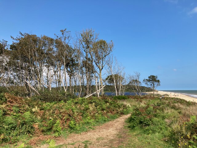
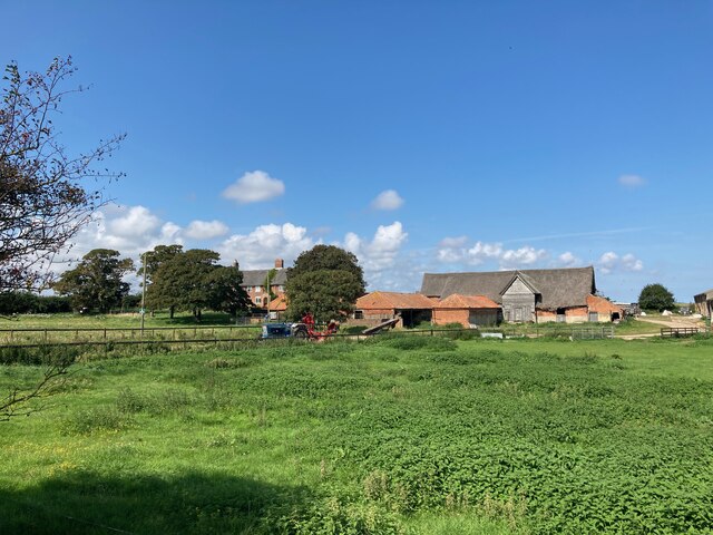
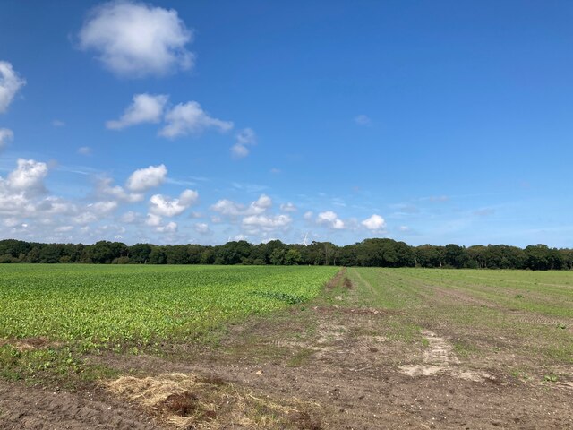
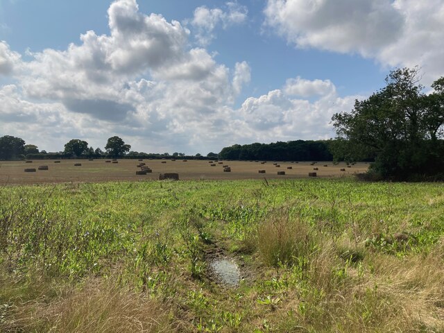
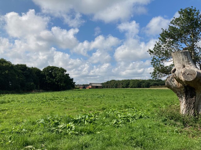
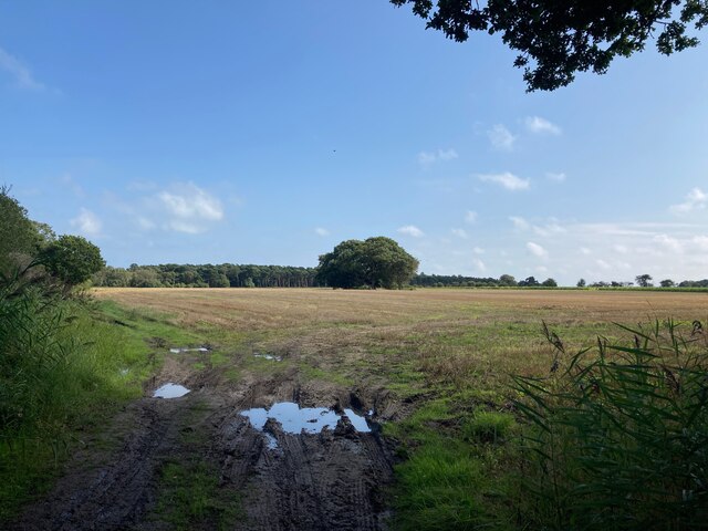
Blackwater Covert is a picturesque woodland located in Suffolk, England. Situated near the village of Woodbridge, this forest is a haven for nature enthusiasts and wildlife lovers alike. Spanning over approximately 500 acres, it offers a tranquil escape from the hustle and bustle of city life.
The woodland is predominantly made up of a mixture of ancient oak and beech trees, creating a dense and diverse ecosystem. The thick canopy of leaves provides ample shade during the summer months, making it a popular spot for picnics and leisurely walks. The forest floor is carpeted with a variety of wildflowers, adding bursts of color to the landscape.
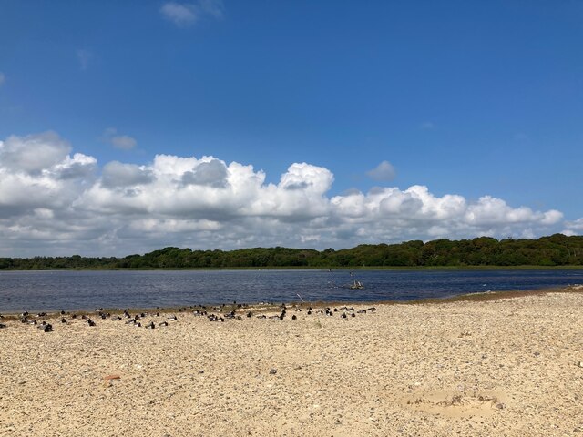
Blackwater Covert is home to a wide range of wildlife species, including deer, foxes, badgers, and a variety of bird species. Birdwatchers often visit the area to catch a glimpse of the elusive nightingales that can be heard singing during the springtime.
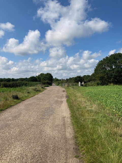
The forest is crisscrossed by a network of well-maintained trails, making it easy for visitors to explore and discover its hidden treasures. These trails cater to all levels of fitness, from leisurely strolls to more challenging hikes. Interpretive signs are dotted along the paths, providing visitors with information about the flora and fauna that inhabit the area.
Blackwater Covert is a popular destination for families, nature lovers, and those seeking a peaceful retreat in the heart of nature. With its rich biodiversity and stunning natural beauty, it truly is a gem in the Suffolk countryside.
If you have any feedback on the listing, please let us know in the comments section below.
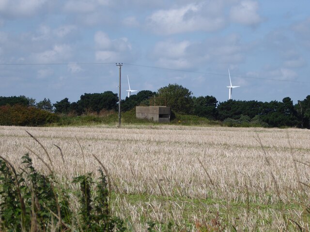
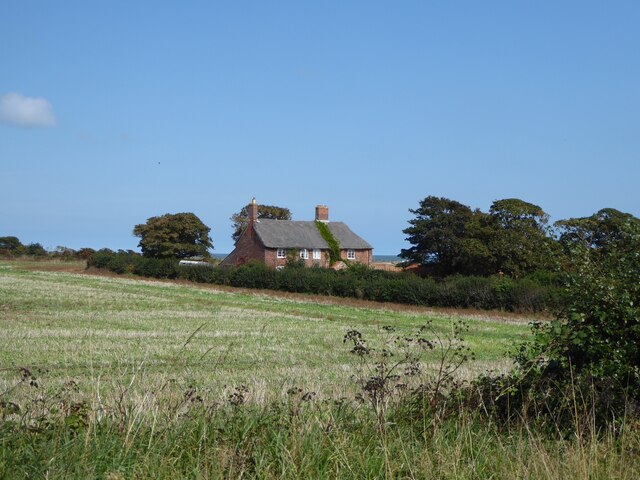
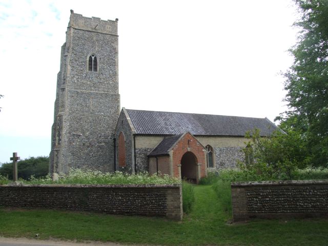
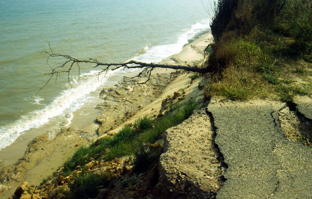
Blackwater Covert Images
Images are sourced within 2km of 52.394946/1.7038903 or Grid Reference TM5283. Thanks to Geograph Open Source API. All images are credited.


Blackwater Covert is located at Grid Ref: TM5283 (Lat: 52.394946, Lng: 1.7038903)
Administrative County: Suffolk
District: East Suffolk
Police Authority: Suffolk
What 3 Words
///bicker.moguls.strictest. Near Kessingland, Suffolk
Nearby Locations
Related Wikis

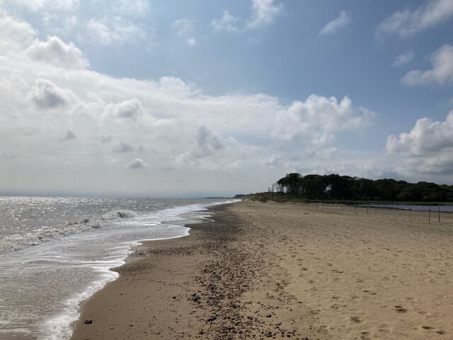
The Sunrise Coast
The Sunrise Coast is a stretch of tourist coastline in the English county of Suffolk. The area includes the seaside resort towns of Lowestoft and Southwold...

Benacre Broad
Benacre Broad is an isolated coastal lagoon on the North Sea coast of the English county of Suffolk. It is located in the parish of Benacre around 1⁄2...
Benacre, Suffolk
Benacre is a village and civil parish in the East Suffolk district of the English county of Suffolk. The village is located about 5+3⁄4 miles (9 km) south...
Pakefield to Easton Bavents
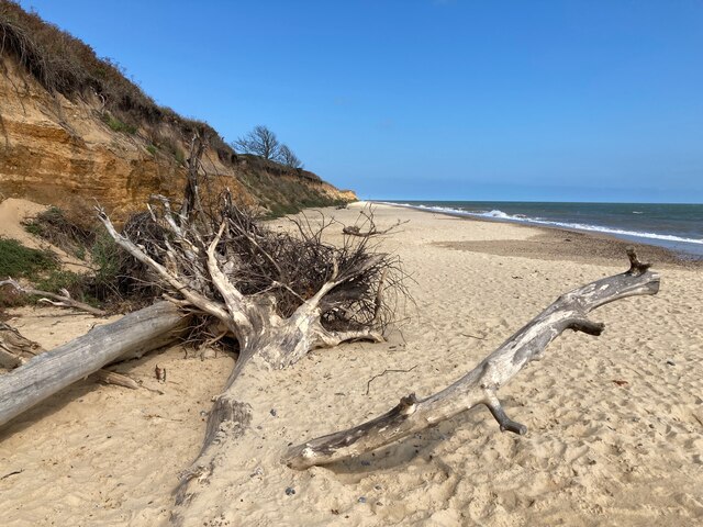
Pakefield to Easton Bavents is a 735.4-hectare (1,817-acre) biological and geological Site of Special Scientific Interest which stretches along the Suffolk...
St Andrew's Church, Covehithe
St Andrew's Church is a partly redundant Anglican church in the hamlet of Covehithe in the English county of Suffolk. It is recorded in the National Heritage...
Covehithe
Covehithe is a village and civil parish in the East Suffolk district of the English county of Suffolk. It lies on the North Sea coast around 4 miles (6...

Old Town Hall, Wrentham
The Old Town Hall is a former municipal building in the High Street in Wrentham, Suffolk, England. The building, which was the meeting place of Wrentham...

Benacre National Nature Reserve
Benacre National Nature Reserve is a national nature reserve in the English county of Suffolk. It is located on the North Sea coast in the parishes of...
Nearby Amenities
Located within 500m of 52.394946,1.7038903Have you been to Blackwater Covert?
Leave your review of Blackwater Covert below (or comments, questions and feedback).