Workhouse Wood

Wood, Forest in Suffolk East Suffolk

England

Workhouse Wood

Robbies Boat
Robbies Boat Credit: colin f m smith

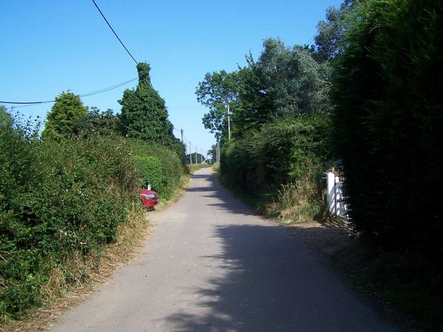
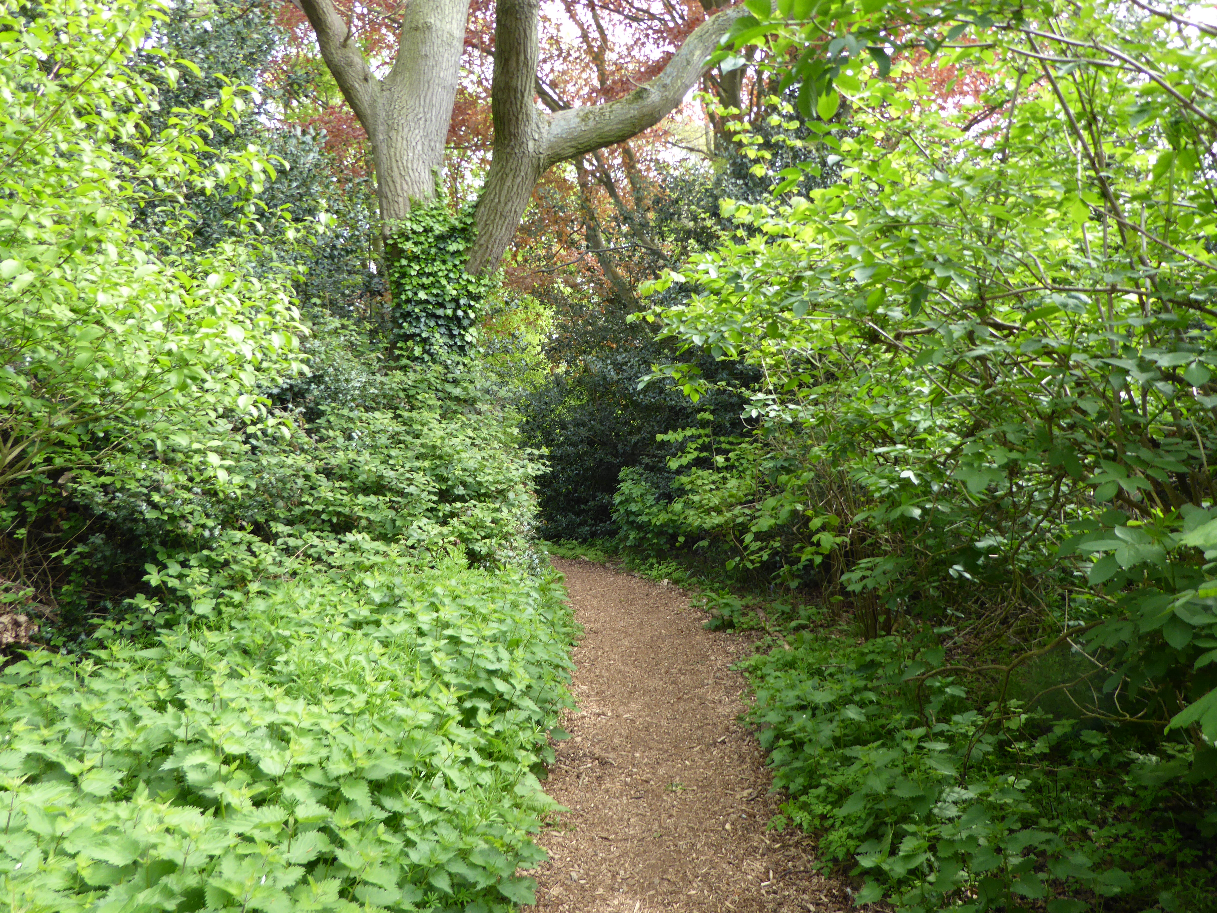
Workhouse Wood is a picturesque woodland located in Suffolk, England. Covering an area of approximately 50 acres, this enchanting forest is a popular destination for nature enthusiasts and outdoor lovers. The wood is situated near the village of Barking and is easily accessible by foot or by car.

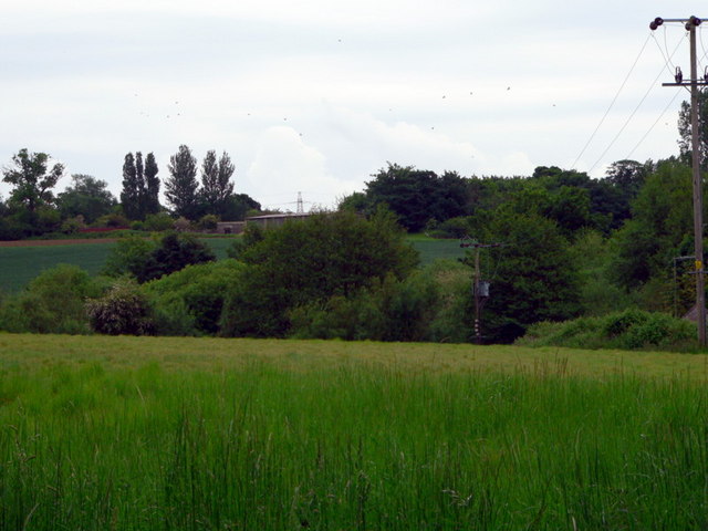
Workhouse Wood features a diverse range of tree species, including oak, beech, and ash, which create a rich and vibrant canopy. The forest floor is adorned with an array of wildflowers and ferns, providing a beautiful contrast to the towering trees above. The wood is also home to a variety of wildlife, such as deer, squirrels, and numerous bird species, making it an ideal spot for birdwatching and wildlife photography.

Visitors to Workhouse Wood can enjoy a network of well-maintained walking trails that wind through the forest, allowing for peaceful and scenic strolls. These trails offer opportunities to explore the wood's natural beauty and discover hidden gems, such as tranquil ponds and ancient trees. The wood also provides picnic areas where visitors can relax and enjoy a meal amidst the peaceful surroundings.

Workhouse Wood is managed by the local council, ensuring its preservation and upkeep for future generations to enjoy. The wood is open to the public throughout the year, with seasonal variations adding to its charm. Whether it's a leisurely walk, birdwatching, or simply seeking solace in nature, Workhouse Wood offers a tranquil and captivating escape from the hustle and bustle of everyday life.

If you have any feedback on the listing, please let us know in the comments section below.

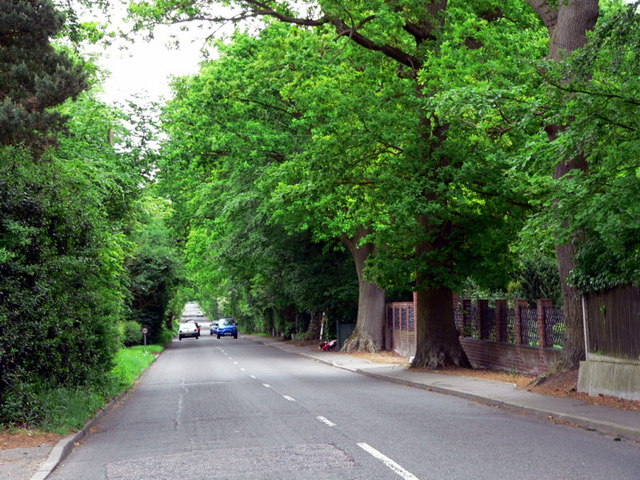
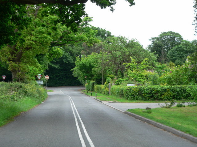
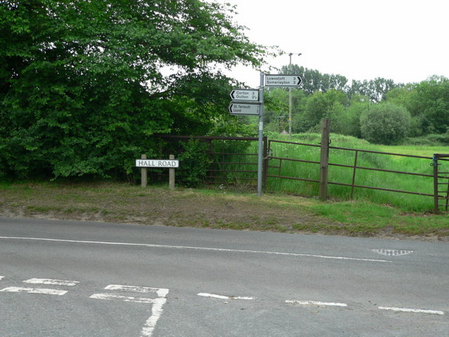
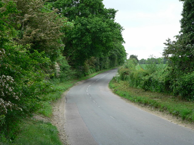
Workhouse Wood Images

Images are sourced within 2km of 52.497414/1.7125355 or Grid Reference TM5295. Thanks to Geograph Open Source API. All images are credited.

Robbies Boat
Robbies Boat
Blundeston Village Sign
St Mary the Virgin, Blundeston St Mary the Virgin, Blundeston with St Andrew Flixton.
St Mary the Virgin, Blundeston
St Mary the Virgin, Blundeston with St Andrew Flixton.
Telephone Box on Blundeston Road
Crossroads Oulton Road - Blundeston Road
Corton Long Lane B1385 - Suffolk
Approaching junction Blundeston Road - A12
Junction Pound Lane - Hall Road nr. Blundeston
Looking southwest down Hall Road
Farm buildings on field
Roundabout Roundabout for the B1375 and B1074 Lowestoft Suffolk.
Roundabout
Roundabout for the B1375 and B1074 Lowestoft Suffolk.
Former ambulance station The former ambulance station at the former Lothingland Hospital. The site is now a care home and been redeveloped with housing near to Oulton Suffolk.
Former ambulance station
The former ambulance station at the former Lothingland Hospital. The site is now a care home and been redeveloped with housing near to Oulton Suffolk.
Unsuitable for motors Public footpath off the B1074 near to Oulton, Suffolk.
Unsuitable for motors
Public footpath off the B1074 near to Oulton, Suffolk.
Sharp bend Sharp bend on the B1074 as seen from Hall lane near to Camps Heath, Suffolk.
Sharp bend
Sharp bend on the B1074 as seen from Hall lane near to Camps Heath, Suffolk.
The Foxburrow Beefeater The Foxburrow Beefeater, Foxburrow Hill, Lowestoft, Suffolk.
The Foxburrow Beefeater
The Foxburrow Beefeater, Foxburrow Hill, Lowestoft, Suffolk.
The Norman Warrior The Norman Warrior public house, Fir Lane, Lowestoft, Suffolk.
The Norman Warrior
The Norman Warrior public house, Fir Lane, Lowestoft, Suffolk.
The Norman Warrior sign The Norman Warrior Pub sign Fir Lane, Lowestoft, Suffolk.
The Norman Warrior sign
The Norman Warrior Pub sign Fir Lane, Lowestoft, Suffolk.
Track To Old Hall, Oulton
Show me another place!

Workhouse Wood is located at Grid Ref: TM5295 (Lat: 52.497414, Lng: 1.7125355)

Administrative County: Suffolk

District: East Suffolk

Police Authority: Suffolk

What 3 Words

///raced.issues.guards. Near Lowestoft, Suffolk

Related Wikis

Nearby Amenities

Located within 500m of 52.497414,1.7125355
Power: tower
Lat/Long: 52.500494/1.713993
Power: tower
Lat/Long: 52.497664/1.7121
Power: tower
Lat/Long: 52.495174/1.710488
Laurel Farm
Naptan AtcoCode: 390070029
Naptan Bearing: N
Naptan BusStopType: CUS
Naptan CommonName: Laurel Farm
Naptan Indicator: adj
Naptan Landmark: Laurel Farm
Naptan NaptanCode: sufgwajd
Naptan Street: B1074
Naptan Verified: no
Source: naptan_import
Lat/Long: 52.493487/1.7093773
Laurel Farm
Naptan AtcoCode: 390070030
Naptan Bearing: S
Naptan BusStopType: CUS
Naptan CommonName: Laurel Farm
Naptan Indicator: opp
Naptan Landmark: Laurel Farm
Naptan NaptanCode: sufgwajg
Naptan Street: B1074
Naptan Verified: no
Source: naptan_import
Lat/Long: 52.4935739/1.7094731
Hospital
Airey Close
No
Addr City: Lowestoft
Addr Street: Airey Close
Emergency: no
Healthcare: hospital
Operator: NHS
Operator Wikidata: Q918396
Lat/Long: 52.4974356/1.7188478
Place Of Worship
Saint Andrew's, Flixton
Ruins: Saint Andrew's, Flixton
Lat/Long: 52.4993684/1.7071769
The data included in this document is from www.openstreetmap.org. The data is made available under ODbL.

Have you been to Workhouse Wood?

Leave your review of Workhouse Wood below (or comments, questions and feedback).