Boathouse Covert
Wood, Forest in Suffolk East Suffolk
England
Boathouse Covert
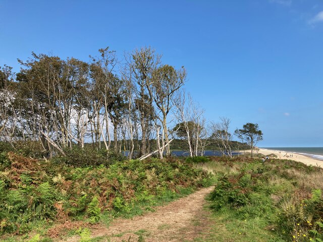
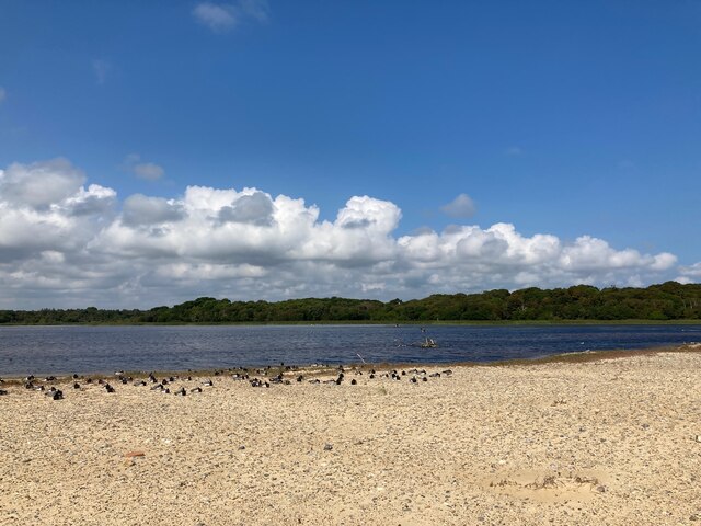
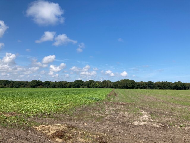
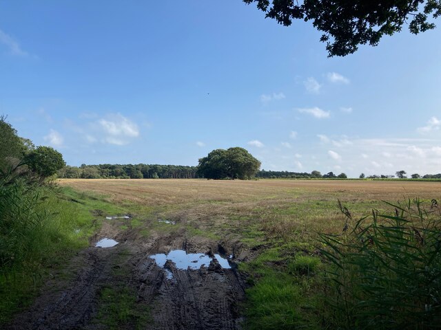
Boathouse Covert is a picturesque woodland located in Suffolk, England. Covering an area of approximately 100 acres, this enchanting forest is a haven for nature lovers and outdoor enthusiasts alike. The woodland is part of the larger Boathouse Covert and Broadwater Nature Reserve, which is managed by the Suffolk Wildlife Trust.
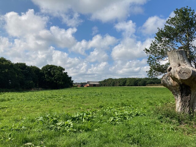
The forest is characterized by its dense canopy of trees, predominantly consisting of oak, beech, and birch. These towering trees provide a habitat for a wide variety of flora and fauna, making it a popular destination for birdwatchers and wildlife enthusiasts. Visitors can spot numerous species of birds, including woodpeckers, owls, and warblers, as well as small mammals like squirrels and foxes.
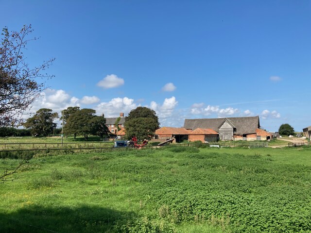
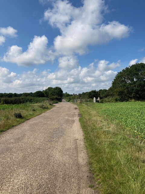
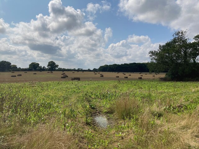
Boathouse Covert offers an extensive network of walking trails, allowing visitors to explore the forest and immerse themselves in its natural beauty. The trails wind through the woodland, offering stunning views of the surrounding landscape and providing opportunities for peaceful walks and moments of tranquility. Along the way, visitors may encounter wildflowers, ferns, and mosses, adding to the charm of the woodland.
The forest is easily accessible and located close to the village of Woodbridge. It is a popular destination for locals and tourists looking to escape the hustle and bustle of everyday life and reconnect with nature. Boathouse Covert is a hidden gem in Suffolk, offering a serene and captivating woodland experience for all who visit.
If you have any feedback on the listing, please let us know in the comments section below.
Boathouse Covert Images
Images are sourced within 2km of 52.389234/1.7130412 or Grid Reference TM5283. Thanks to Geograph Open Source API. All images are credited.

Boathouse Covert is located at Grid Ref: TM5283 (Lat: 52.389234, Lng: 1.7130412)
Administrative County: Suffolk
District: East Suffolk
Police Authority: Suffolk
What 3 Words
///beside.mega.effort. Near Kessingland, Suffolk
Nearby Locations
Related Wikis

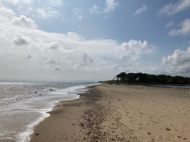
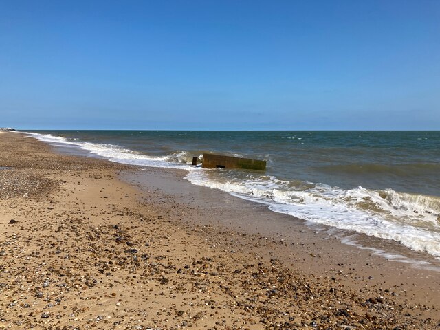
Benacre Broad
Benacre Broad is an isolated coastal lagoon on the North Sea coast of the English county of Suffolk. It is located in the parish of Benacre around 1⁄2...
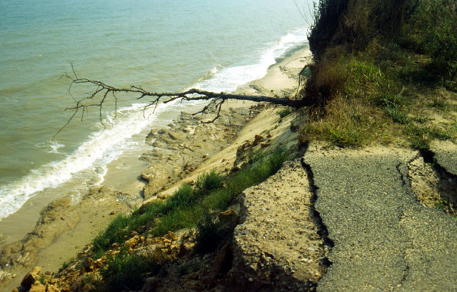
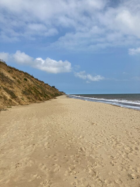
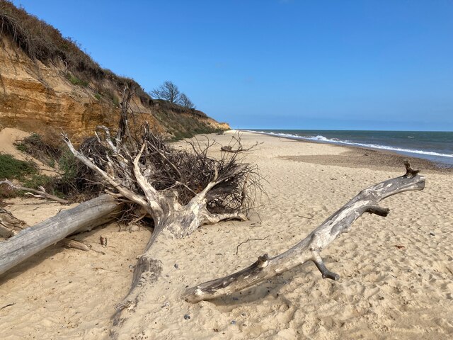
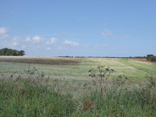
Pakefield to Easton Bavents
Pakefield to Easton Bavents is a 735.4-hectare (1,817-acre) biological and geological Site of Special Scientific Interest which stretches along the Suffolk...
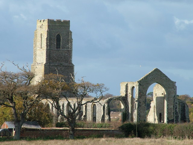
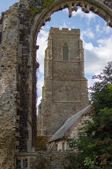
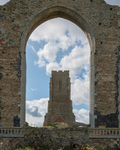
St Andrew's Church, Covehithe
St Andrew's Church is a partly redundant Anglican church in the hamlet of Covehithe in the English county of Suffolk. It is recorded in the National Heritage...

The Sunrise Coast
The Sunrise Coast is a stretch of tourist coastline in the English county of Suffolk. The area includes the seaside resort towns of Lowestoft and Southwold...
Nearby Amenities
Located within 500m of 52.389234,1.7130412Have you been to Boathouse Covert?
Leave your review of Boathouse Covert below (or comments, questions and feedback).