Auchtertool

Settlement in Fife

Scotland

Auchtertool

Fields parallel to B925 near Auchtertool
Fields parallel to B925 near Auchtertool Credit: Becky Williamson

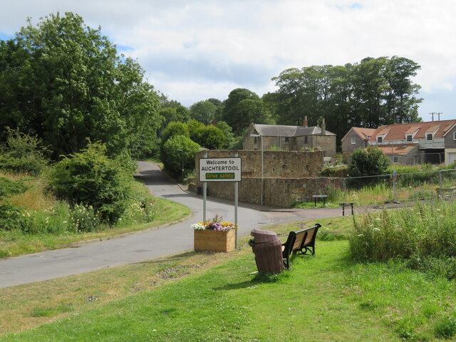
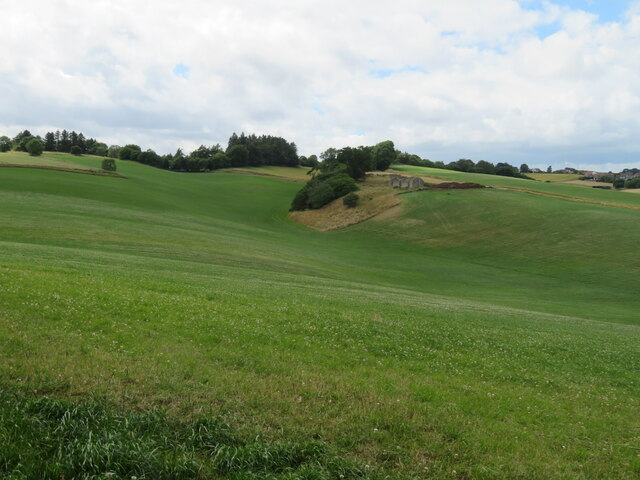
Auchtertool is a small village located in the eastern part of Fife, Scotland. Situated about 5 miles north of Kirkcaldy, the village is nestled in a rural setting, surrounded by beautiful countryside and rolling hills. The name "Auchtertool" is derived from the Gaelic words "achadh" and "torr," meaning "field on the hill."

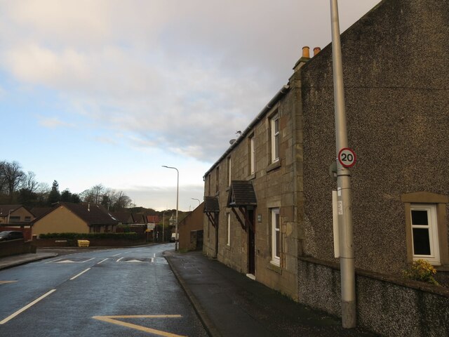
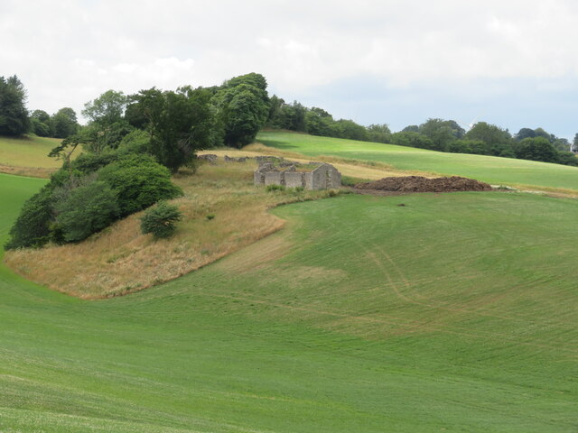
With a population of around 400 residents, Auchtertool is a close-knit community that offers a peaceful and tranquil environment. The village is characterized by its charming stone-built houses and a picturesque church, which dates back to the 12th century. This historic church, dedicated to St. Bryce, is a prominent landmark in the area and attracts visitors interested in its architectural and historical significance.

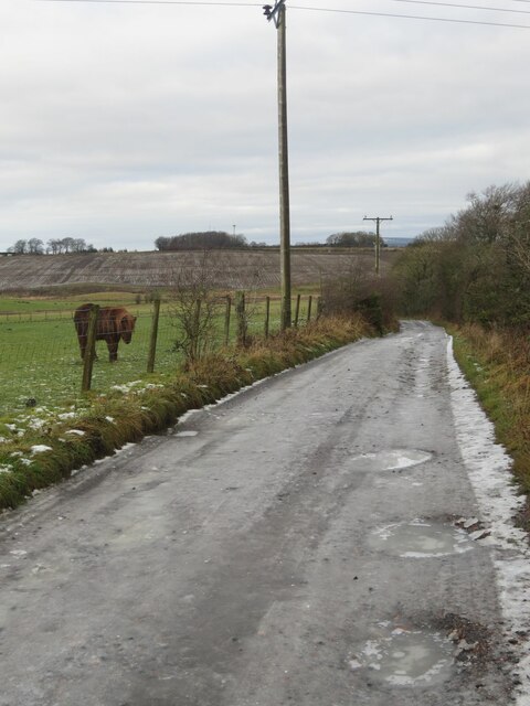
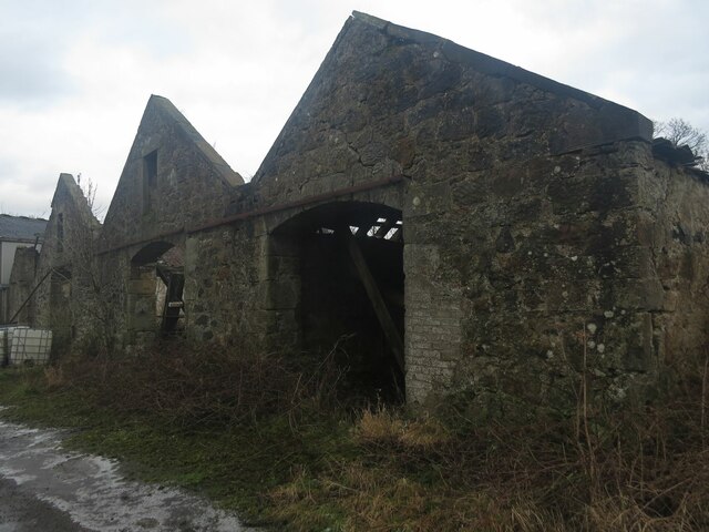
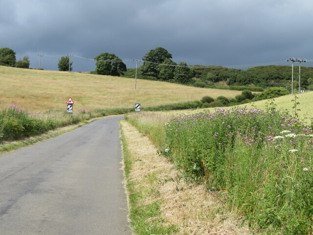
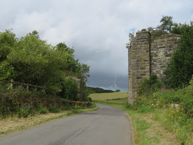
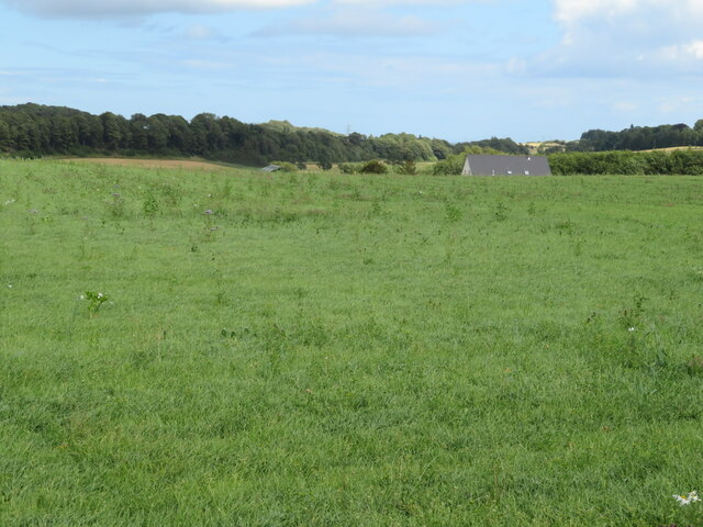
Auchtertool is known for its agricultural heritage, with farming playing a significant role in the local economy. The fertile land surrounding the village is utilized for crop cultivation and livestock rearing. The village also benefits from its proximity to nearby towns and cities, with residents enjoying easy access to amenities and employment opportunities.

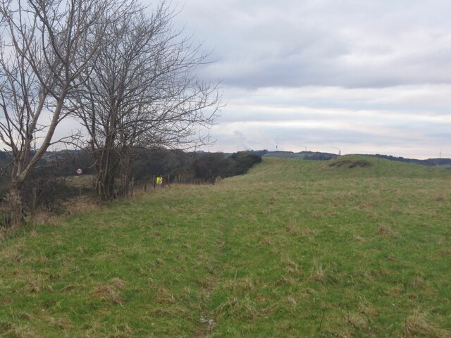
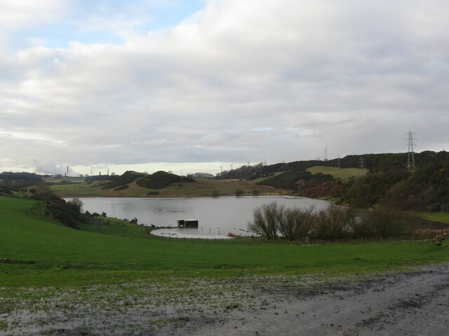
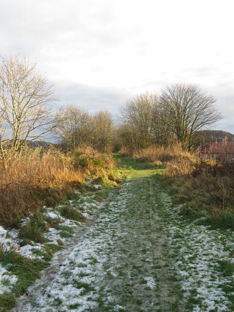
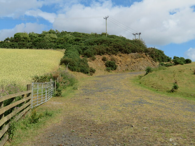
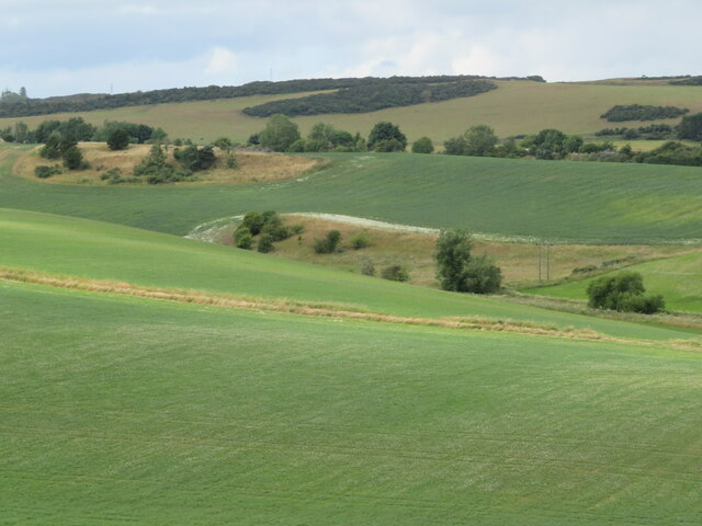
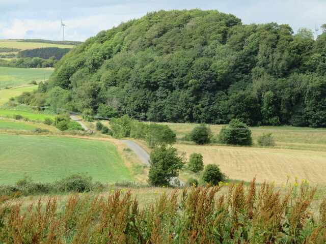
Outdoor enthusiasts will find plenty to explore in Auchtertool and its surroundings. The area boasts several walking trails and scenic routes, offering breathtaking views of the surrounding countryside. Auchtertool Loch, a small freshwater loch located just south of the village, serves as a popular spot for fishing and birdwatching.

Overall, Auchtertool is a charming and peaceful village that provides a serene escape from the hustle and bustle of city life. Its rich history, stunning natural landscapes, and vibrant community make it an attractive place to visit or call home.

If you have any feedback on the listing, please let us know in the comments section below.
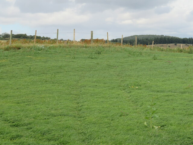
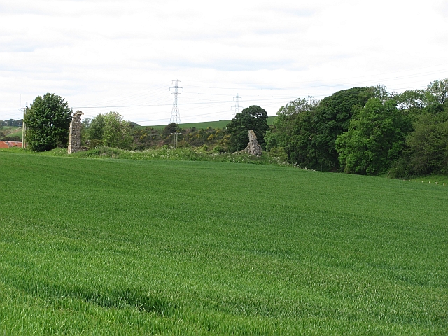
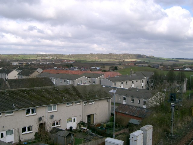
Auchtertool Images

Images are sourced within 2km of 56.102814/-3.260366 or Grid Reference NT2190. Thanks to Geograph Open Source API. All images are credited.

Fields parallel to B925 near Auchtertool
Camilla Loch
Camilla Loch
Benchmark, West Balbarton farm Ordnance Survey benchmark, described on database at <span class="nowrap"><a title="https://www.bench-marks.org.uk/bm158520" rel="nofollow ugc noopener" href="https://www.bench-marks.org.uk/bm158520">Link</a><img style="margin-left:2px;" alt="External link" title="External link - shift click to open in new window" src="https://s1.geograph.org.uk/img/external.png" width="10" height="10"/></span>. See also <a href="https://www.geograph.org.uk/photo/7005716">NT2391 : West Balbarton Farm buildings, near Newbigging</a>.
Benchmark, West Balbarton farm
Ordnance Survey benchmark, described on database at LinkExternal link. See also NT2391 : West Balbarton Farm buildings, near Newbigging.
Icy farm track, Little Gleniston
Benchmark, former Auchtertool Warehouse Ordnance Survey benchmark, described on database at <span class="nowrap"><a title="https://www.bench-marks.org.uk/bm140793" rel="nofollow ugc noopener" href="https://www.bench-marks.org.uk/bm140793">Link</a><img style="margin-left:2px;" alt="External link" title="External link - shift click to open in new window" src="https://s1.geograph.org.uk/img/external.png" width="10" height="10"/></span>. See also <a href="https://www.geograph.org.uk/photo/7006979">NT2190 : Former Auchtertool Warehouse</a>.
Benchmark, former Auchtertool Warehouse
Ordnance Survey benchmark, described on database at LinkExternal link. See also NT2190 : Former Auchtertool Warehouse.
West Balbarton Farm buildings, near Newbigging There is an Ordnance Survey benchmark on this farm building.
West Balbarton Farm buildings, near Newbigging
There is an Ordnance Survey benchmark on this farm building.
Former Kirkcaldy District Railway line near Auchtertool
Former Auchtertool Warehouse There is an Ordnance Survey benchmark on this building, visible on stone level with bottom of window between window and lamppost. See <a href="https://www.geograph.org.uk/photo/7005714">NT2190 : Benchmark, former Auchtertool Warehouse</a>.
Former Auchtertool Warehouse
There is an Ordnance Survey benchmark on this building, visible on stone level with bottom of window between window and lamppost. See NT2190 : Benchmark, former Auchtertool Warehouse.
Farm track and outcrop at Auchtertool With LT power cables and a wheat crop on the left.
Farm track and outcrop at Auchtertool
With LT power cables and a wheat crop on the left.
Bend in the road from Auchtertool to Lochgelly Heading north through farmland.
Bend in the road from Auchtertool to Lochgelly
Heading north through farmland.
Railway bridge remains Part of the North British Railway, Kirkcaldy and District line - never a mainline! <span class="nowrap"><a title="https://www.railscot.co.uk/locations/A/Auchtertool_Goods/" rel="nofollow ugc noopener" href="https://www.railscot.co.uk/locations/A/Auchtertool_Goods/">Link</a><img style="margin-left:2px;" alt="External link" title="External link - shift click to open in new window" src="https://s1.geograph.org.uk/img/external.png" width="10" height="10"/></span>
Railway bridge remains
Part of the North British Railway, Kirkcaldy and District line - never a mainline! LinkExternal link
Auchtertool village welcome sign Camilla, and Camilla Road.
Auchtertool village welcome sign
Camilla, and Camilla Road.
Undulating fields near Auchtertool The ruins on the ridge are of <a href="https://www.geograph.org.uk/photo/7228729">NT2290 : Mourn House, Auchtertool</a>. It is present on GB1900 mapping, but there is no Canmore entry. An entry in Scotland's Places reads :- 'Extensive outoffices and Farm house now occupied by Labouring Men, the property of Mr Boswell of Balmuto' <span class="nowrap"><a title="https://scotlandsplaces.gov.uk/digital-volumes/ordnance-survey-name-books/fife-and-kinross-shire-os-name-books-1853-1855/fife-and-kinross-shire-volume-133/33" rel="nofollow ugc noopener" href="https://scotlandsplaces.gov.uk/digital-volumes/ordnance-survey-name-books/fife-and-kinross-shire-os-name-books-1853-1855/fife-and-kinross-shire-volume-133/33">Link</a><img style="margin-left:2px;" alt="External link" title="External link - shift click to open in new window" src="https://s1.geograph.org.uk/img/external.png" width="10" height="10"/></span>. There is a planning application for five courtyard houses to be built on the site <span class="nowrap"><a title="https://www.fifetoday.co.uk/news/politics/council/new-homes-planned-for-site-of-ruin-near-fife-town-3754661e" rel="nofollow ugc noopener" href="https://www.fifetoday.co.uk/news/politics/council/new-homes-planned-for-site-of-ruin-near-fife-town-3754661e">Link</a><img style="margin-left:2px;" alt="External link" title="External link - shift click to open in new window" src="https://s1.geograph.org.uk/img/external.png" width="10" height="10"/></span>
Undulating fields near Auchtertool
The ruins on the ridge are of NT2290 : Mourn House, Auchtertool. It is present on GB1900 mapping, but there is no Canmore entry. An entry in Scotland's Places reads :- 'Extensive outoffices and Farm house now occupied by Labouring Men, the property of Mr Boswell of Balmuto' LinkExternal link. There is a planning application for five courtyard houses to be built on the site LinkExternal link
Mourn House, Auchtertool An isolated farm dating at least back to the 1850s. The ruins on the ridge are of Mourn House <a href="https://www.geograph.org.uk/photo/7228701">NT2290 : Undulating fields near Auchtertool</a>. It is present on GB1900 mapping, but there is no Canmore entry. An entry in Scotland's Places reads :- 'Extensive outoffices and Farm house now occupied by Labouring Men, the property of Mr Boswell of Balmuto' <span class="nowrap"><a title="https://scotlandsplaces.gov.uk/digital-volumes/ordnance-survey-name-books/fife-and-kinross-shire-os-name-books-1853-1855/fife-and-kinross-shire-volume-133/33" rel="nofollow ugc noopener" href="https://scotlandsplaces.gov.uk/digital-volumes/ordnance-survey-name-books/fife-and-kinross-shire-os-name-books-1853-1855/fife-and-kinross-shire-volume-133/33">Link</a><img style="margin-left:2px;" alt="External link" title="External link - shift click to open in new window" src="https://s1.geograph.org.uk/img/external.png" width="10" height="10"/></span>. There is a planning application for five courtyard houses to be built on the site <span class="nowrap"><a title="https://www.fifetoday.co.uk/news/politics/council/new-homes-planned-for-site-of-ruin-near-fife-town-3754661" rel="nofollow ugc noopener" href="https://www.fifetoday.co.uk/news/politics/council/new-homes-planned-for-site-of-ruin-near-fife-town-3754661">Link</a><img style="margin-left:2px;" alt="External link" title="External link - shift click to open in new window" src="https://s1.geograph.org.uk/img/external.png" width="10" height="10"/></span>.
Mourn House, Auchtertool
An isolated farm dating at least back to the 1850s. The ruins on the ridge are of Mourn House NT2290 : Undulating fields near Auchtertool. It is present on GB1900 mapping, but there is no Canmore entry. An entry in Scotland's Places reads :- 'Extensive outoffices and Farm house now occupied by Labouring Men, the property of Mr Boswell of Balmuto' LinkExternal link. There is a planning application for five courtyard houses to be built on the site LinkExternal link.
The valley of the Bottom Burn Undulating farmland downstream and east of Auchtertool and Newbigging.
The valley of the Bottom Burn
Undulating farmland downstream and east of Auchtertool and Newbigging.
Pasture near Lambert's Mill With the roof of the house in the dip beyond.
Pasture near Lambert's Mill
With the roof of the house in the dip beyond.
New grass field near Lambert's Mill
Kinuny Plantation Looking across the valley of the Bottom Burn, from near Lambert's Mill.
Kinuny Plantation
Looking across the valley of the Bottom Burn, from near Lambert's Mill.
Show me another place!

Auchtertool is located at Grid Ref: NT2190 (Lat: 56.102814, Lng: -3.260366)

Unitary Authority: Fife

Police Authority: Fife

What 3 Words

///dilute.wooden.snug. Near Lochgelly, Fife

Nearby Locations

Auchtertool Castle Hill

Related Wikis

Nearby Amenities

Located within 500m of 56.102814,-3.260366
Auchtertool
Alt Name Gd: Uachdar Thuathail
Name Gd: Uachdar Tuil
Place: village
Source: npe
Wikidata: Q758625
Wikipedia: en:Auchtertool
Lat/Long: 56.1022137/-3.2578192
Castle Hill
Ele: 131
Ele Ft: 430
Natural: peak
Source: npe
Source Name: OS
Lat/Long: 56.0994469/-3.2640678
Power: pole
Lat/Long: 56.1017254/-3.2644402
Power: pole
Lat/Long: 56.1008552/-3.2660892
Power: pole
Lat/Long: 56.1004249/-3.2669215
Power: pole
Lat/Long: 56.1012486/-3.2653076
Power: pole
Lat/Long: 56.1022681/-3.2633913
Power: pole
Lat/Long: 56.1001388/-3.2664175
Man Made: tower
Tower Type: communication
Lat/Long: 56.099784/-3.2635182
Power: pole
Lat/Long: 56.1063164/-3.2608386
Power: pole
Lat/Long: 56.1069755/-3.2614681
Power: pole
Lat/Long: 56.1056501/-3.2602257
Power: pole
Lat/Long: 56.1054856/-3.2590616
Power: pole
Lat/Long: 56.1053151/-3.2578707
Power: pole
Lat/Long: 56.1047168/-3.2540191
Power: pole
Lat/Long: 56.104915/-3.2552954
Power: pole
Lat/Long: 56.1050869/-3.2564017
Power: pole
Lat/Long: 56.1051976/-3.2571147
Power: pole
Lat/Long: 56.1007925/-3.266606
Power: pole
Lat/Long: 56.1021344/-3.2670057
Power: pole
Lat/Long: 56.1027268/-3.2671639
Power: pole
Lat/Long: 56.1033685/-3.2673758
Waterway: waterfall
Lat/Long: 56.1059964/-3.2658581
Bench
Lat/Long: 56.1022082/-3.2576752
Bus Stop
Kiwi Tavern
Bus: yes
Departures Board: timetable
Naptan AtcoCode: 6500K0795
Naptan Bearing: SE
Naptan CommonName: Kiwi Tavern
Naptan Indicator: opp
Naptan Landmark: Kiwi Tavern
Naptan NaptanCode: 34325694
Naptan Street: Main Street
Public Transport: platform
Ref: 34325694
Shelter: yes
Lat/Long: 56.1021798/-3.257895
Bus Stop
Kiwi Tavern
Bus: yes
Departures Board: timetable
Naptan AtcoCode: 6500K0794
Naptan Bearing: W
Naptan CommonName: Kiwi Tavern
Naptan Indicator: adj
Naptan Landmark: Kiwi Tavern
Naptan NaptanCode: 34325689
Naptan Street: Main Street
Public Transport: platform
Ref: 34325689
Shelter: yes
Lat/Long: 56.1020351/-3.2577227
Post Box
Brand: Royal Mail
Brand Wikidata: Q638098
Collection Times: Mo-Fr 16:30; Sa 10:30
Operator: Royal Mail
Operator Wikidata: Q638098
Post Box Type: lamp
Ref: KY2 96
Royal Cypher: scottish_crown
Lat/Long: 56.1026975/-3.2599346
Bus Stop
The Maltings
Bus: yes
Departures Board: timetable
Naptan AtcoCode: 6500K0796
Naptan Bearing: SE
Naptan CommonName: The Maltings
Naptan Indicator: opp
Naptan Landmark: The Maltings
Naptan NaptanCode: 34325697
Naptan Street: Main Street
Public Transport: platform
Ref: 34325697
Shelter: yes
Lat/Long: 56.1026514/-3.2598397
Bus Stop
The Maltings
Bus: yes
Departures Board: timetable
Naptan AtcoCode: 6500K0797
Naptan Bearing: NW
Naptan CommonName: The Maltings
Naptan Indicator: adj
Naptan Landmark: The Maltings
Naptan NaptanCode: 34325698
Naptan Street: Main Street
Public Transport: platform
Ref: 34325698
Lat/Long: 56.1025629/-3.2599901
Direction: both
Traffic Calming: cushion
Lat/Long: 56.1023548/-3.259148
Bus Stop
Newbigging
Bus: yes
Departures Board: timetable
Naptan AtcoCode: 6500K0798
Naptan Bearing: W
Naptan CommonName: Newbigging
Naptan Indicator: adj
Naptan Landmark: Newbigging
Naptan NaptanCode: 34325695
Naptan Street: Main Street
Public Transport: platform
Ref: 34325695
Lat/Long: 56.102271/-3.2533969
Bus Stop
Newbigging
Bus: yes
Departures Board: timetable
Naptan AtcoCode: 6500K0799
Naptan Bearing: NE
Naptan CommonName: Newbigging
Naptan Indicator: opp
Naptan Landmark: Newbigging
Naptan NaptanCode: 34325724
Naptan Street: Main Street
Public Transport: platform
Ref: 34325724
Shelter: yes
Lat/Long: 56.1025716/-3.2526144
Addr City: Auchtertool
Addr Housenumber: 5
Addr Street: Newbigging Terrace
Lat/Long: 56.1024127/-3.2543821
Addr City: Auchtertool
Addr Housenumber: 6
Addr Street: Newbigging Terrace
Lat/Long: 56.1023741/-3.2543125
Addr City: Auchtertool
Addr Housenumber: 7
Addr Street: Newbigging Terrace
Lat/Long: 56.1023863/-3.2541543
Addr City: Auchtertool
Addr Housenumber: 8
Addr Street: Newbigging Terrace
Lat/Long: 56.1024355/-3.2540904
Addr City: Auchtertool
Addr Housenumber: 9
Addr Street: Newbigging Terrace
Lat/Long: 56.1024441/-3.2539744
Addr City: Auchtertool
Addr Housenumber: 10
Addr Street: Newbigging Terrace
Lat/Long: 56.1024049/-3.2538888
Addr City: Auchtertool
Addr Housenumber: 11
Addr Street: Newbigging Terrace
Lat/Long: 56.1024145/-3.2537529
Addr City: Auchtertool
Addr Housenumber: 12
Addr Street: Newbigging Terrace
Lat/Long: 56.1024621/-3.2536816
Addr City: Auchtertool
Addr Housenumber: 13
Addr Street: Newbigging Terrace
Lat/Long: 56.1024688/-3.2535872
Addr City: Auchtertool
Addr Housenumber: 14
Addr Street: Newbigging Terrace
Lat/Long: 56.1024396/-3.2534934
Addr City: Auchtertool
Addr Housenumber: 15
Addr Street: Newbigging Terrace
Lat/Long: 56.1024577/-3.2533524
Addr City: Auchtertool
Addr Housenumber: 16
Addr Street: Newbigging Terrace
Lat/Long: 56.1025058/-3.2533002
Addr City: Auchtertool
Addr Housenumber: 17
Addr Street: Newbigging Terrace
Lat/Long: 56.1025195/-3.2530969
Addr City: Auchtertool
Addr Housenumber: 18
Addr Street: Newbigging Terrace
Lat/Long: 56.1025544/-3.2529766
Addr City: Auchtertool
Addr Housenumber: 19
Addr Street: Newbigging Terrace
Lat/Long: 56.1025766/-3.2528786
Addr City: Auchtertool
Addr Housenumber: 20
Addr Street: Newbigging Terrace
Lat/Long: 56.1025953/-3.2527636
Recycling
Recycling Type: container
Lat/Long: 56.1024023/-3.2579829
Direction: both
Traffic Calming: cushion
Lat/Long: 56.102186/-3.2552076
Direction: both
Traffic Calming: cushion
Lat/Long: 56.1020821/-3.2570215
Direction: both
Traffic Calming: cushion
Lat/Long: 56.1021412/-3.2559606
Direction: both
Traffic Calming: cushion
Lat/Long: 56.1022887/-3.2537732
Direction: both
Traffic Calming: cushion
Lat/Long: 56.1022351/-3.2585034
Direction: both
Traffic Calming: cushion
Lat/Long: 56.102568/-3.2597966
Newbigging
Place: neighbourhood
Lat/Long: 56.1023517/-3.2528583
Power: pole
Lat/Long: 56.1014635/-3.2668059
Generator Method: photovoltaic
Generator Output Electricity: yes
Generator Source: solar
Generator Type: solar_photovoltaic_panel
Power: generator
Lat/Long: 56.1024897/-3.2570803
Generator Method: photovoltaic
Generator Output Electricity: yes
Generator Source: solar
Generator Type: solar_photovoltaic_panel
Power: generator
Lat/Long: 56.1031981/-3.2589997
Generator Method: photovoltaic
Generator Output Electricity: yes
Generator Source: solar
Generator Type: solar_photovoltaic_panel
Power: generator
Lat/Long: 56.1034351/-3.258528
Generator Method: photovoltaic
Generator Output Electricity: yes
Generator Source: solar
Generator Type: solar_photovoltaic_panel
Power: generator
Lat/Long: 56.1018583/-3.2596497
Power: pole
Lat/Long: 56.1028142/-3.253492
Power: pole
Lat/Long: 56.1028396/-3.2543877
Power: pole
Lat/Long: 56.1028596/-3.2550836
Power: pole
Lat/Long: 56.1034487/-3.2553409
Power: pole
Lat/Long: 56.1040639/-3.2556014
Power: pole
Lat/Long: 56.1044525/-3.2557751
Power: pole
Lat/Long: 56.1047861/-3.2535474
Defibrillator
Defibrillator Location: On wall at entrance to the Village Hall
Emergency: defibrillator
Indoor: no
Opening Hours: 24/7
Lat/Long: 56.1025947/-3.2595576
Generator Method: photovoltaic
Generator Output Electricity: yes
Generator Source: solar
Generator Type: solar_photovoltaic_panel
Power: generator
Lat/Long: 56.1023067/-3.2558562
Generator Method: photovoltaic
Generator Output Electricity: yes
Generator Source: solar
Generator Type: solar_photovoltaic_panel
Power: generator
Lat/Long: 56.1027182/-3.2555005
The data included in this document is from www.openstreetmap.org. The data is made available under ODbL.

Have you been to Auchtertool?

Leave your review of Auchtertool below (or comments, questions and feedback).