Castle Hill
Hill, Mountain in Fife
Scotland
Castle Hill
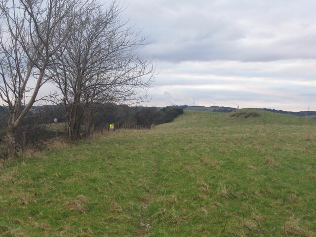
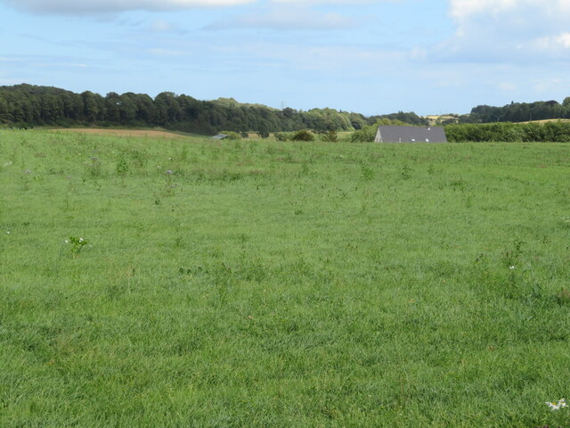
Castle Hill is a prominent hill located in Fife, Scotland. Situated near the village of Ceres, it forms part of the rolling landscape of the East Neuk region. Rising to an elevation of around 261 meters (856 feet), Castle Hill offers stunning panoramic views of the surrounding countryside and beyond.
The hill derives its name from the ruins of a medieval castle that once stood atop its summit. Though the castle itself has long vanished, some remnants of its foundations can still be seen, adding to the historical appeal of the site. These ruins are believed to date back to the 12th century and were likely built as a stronghold during the reign of King David I.
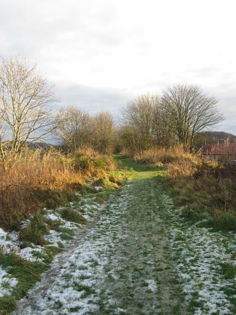
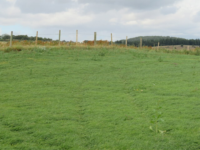
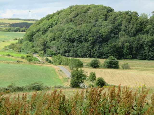
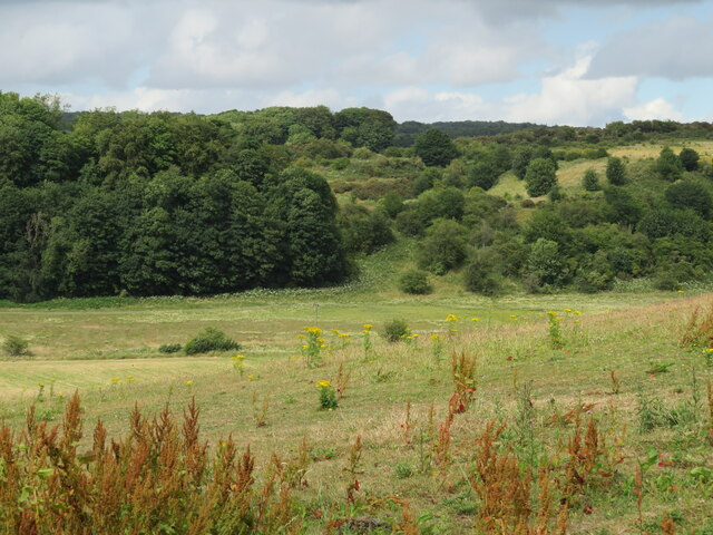
Castle Hill is a popular destination for hikers and outdoor enthusiasts due to its relatively easy accessibility and the rewarding vistas it offers. A well-maintained footpath leads to the summit, making it suitable for walkers of various abilities. On a clear day, visitors can enjoy panoramic views stretching as far as the Lomond Hills in the west and the coastline of the East Neuk in the east.
Additionally, Castle Hill is home to a diverse range of flora and fauna. The hillside boasts a rich mix of grasses, wildflowers, and woodland, providing habitats for various bird species and small mammals. Nature enthusiasts can often spot buzzards soaring overhead or glimpse rabbits darting amidst the undergrowth.
Overall, Castle Hill is a picturesque and historically significant hill that offers a memorable experience for those seeking natural beauty and a glimpse into Scotland's past.
If you have any feedback on the listing, please let us know in the comments section below.
Castle Hill Images
Images are sourced within 2km of 56.099363/-3.2643867 or Grid Reference NT2190. Thanks to Geograph Open Source API. All images are credited.
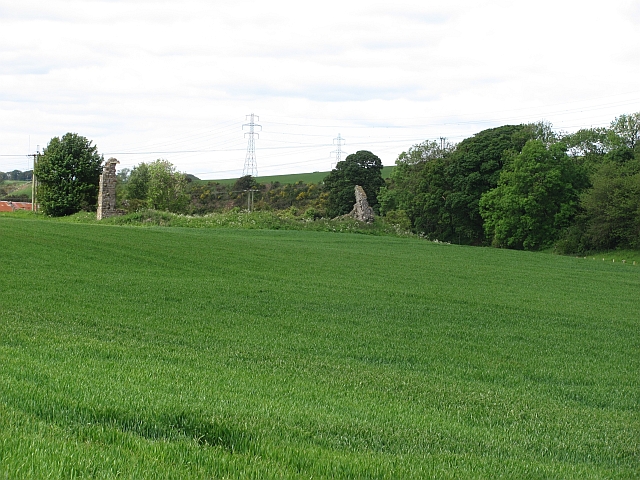
![Fife fieldscape from Auchtertool Kirk Farm crops [barley, grass], Kirkton farm, woodland and, in the distance [3.3 km], Stoneyhall Hill.](https://s3.geograph.org.uk/geophotos/07/22/98/7229803_352b49c0.jpg)

Castle Hill is located at Grid Ref: NT2190 (Lat: 56.099363, Lng: -3.2643867)
Unitary Authority: Fife
Police Authority: Fife
What 3 Words
///region.shook.mixture. Near Lochgelly, Fife
Nearby Locations
Related Wikis

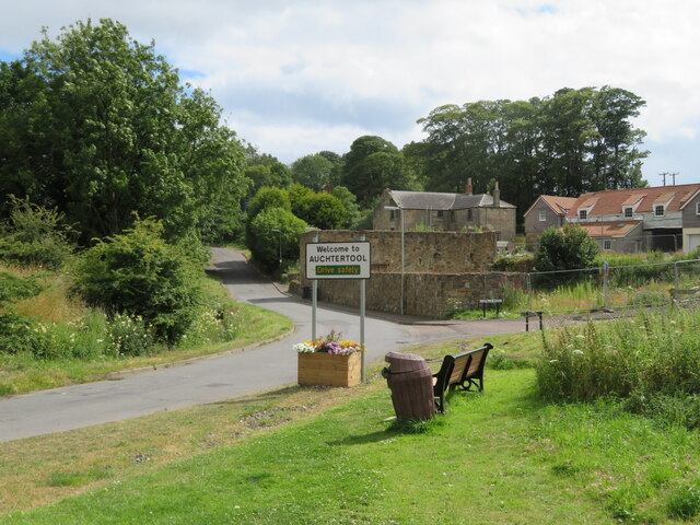
Auchtertool
Auchtertool ( ; Scottish Gaelic: Uachdar Tuil) is a small village in Fife, Scotland. It is 4 miles west of Kirkcaldy. The name is from the Gaelic uachdar...

Kirkcaldy and Cowdenbeath (UK Parliament constituency)
Kirkcaldy and Cowdenbeath is a county constituency representing the areas around the towns of Kirkcaldy and Cowdenbeath, in Fife, Scotland, in the House...
Hallyards Castle
Hallyards Castle (Scots: Hall yairds "the yards at the hall"), located to the north-west of the village of Auchtertool, is reputed to have been a hunting...

Raith, Fife
Raith (Scottish Gaelic: ràth, "fort" or "fortified residence"), as an area of Fife, once stretched from the lands of Little Raith (earlier Wester Raith...

Mossmorran
The Mossmorran Natural Gas Liquids (NGL) plant is part of the northern North Sea Brent oil and gas field system and is located on the outskirts of Cowdenbeath...

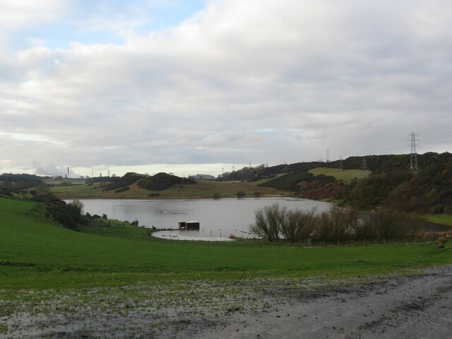
Loch Gelly
Loch Gelly (Scottish Gaelic: Loch Gheallaidh) is a small loch in Fife, Scotland lying approximately 1.5 km to the south east of the town of Lochgelly which...

Driftland
Driftland is a purpose-built race track for drifting inspired by the drift tracks of Japan at the Lochgelly Motorsport Complex, Fife, Scotland. The facility...
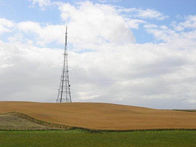
Craigkelly transmitting station
The Craigkelly transmitting station is a broadcasting and telecommunications facility located at Craigkelly (grid reference NT233872) north of the Firth...
Nearby Amenities
Located within 500m of 56.099363,-3.2643867Have you been to Castle Hill?
Leave your review of Castle Hill below (or comments, questions and feedback).