Fullwood
Settlement in Ayrshire
Scotland
Fullwood

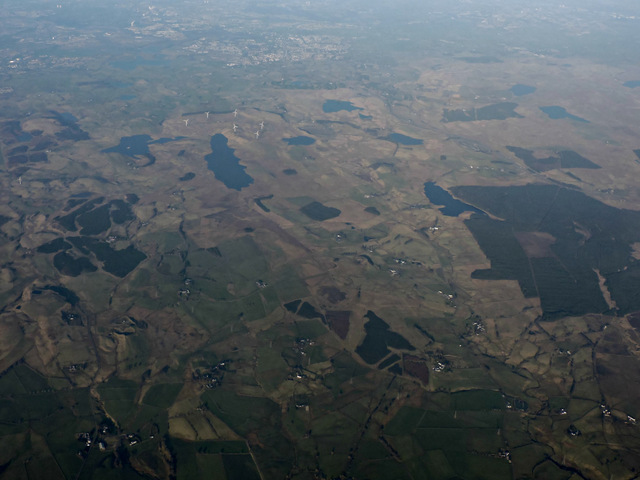
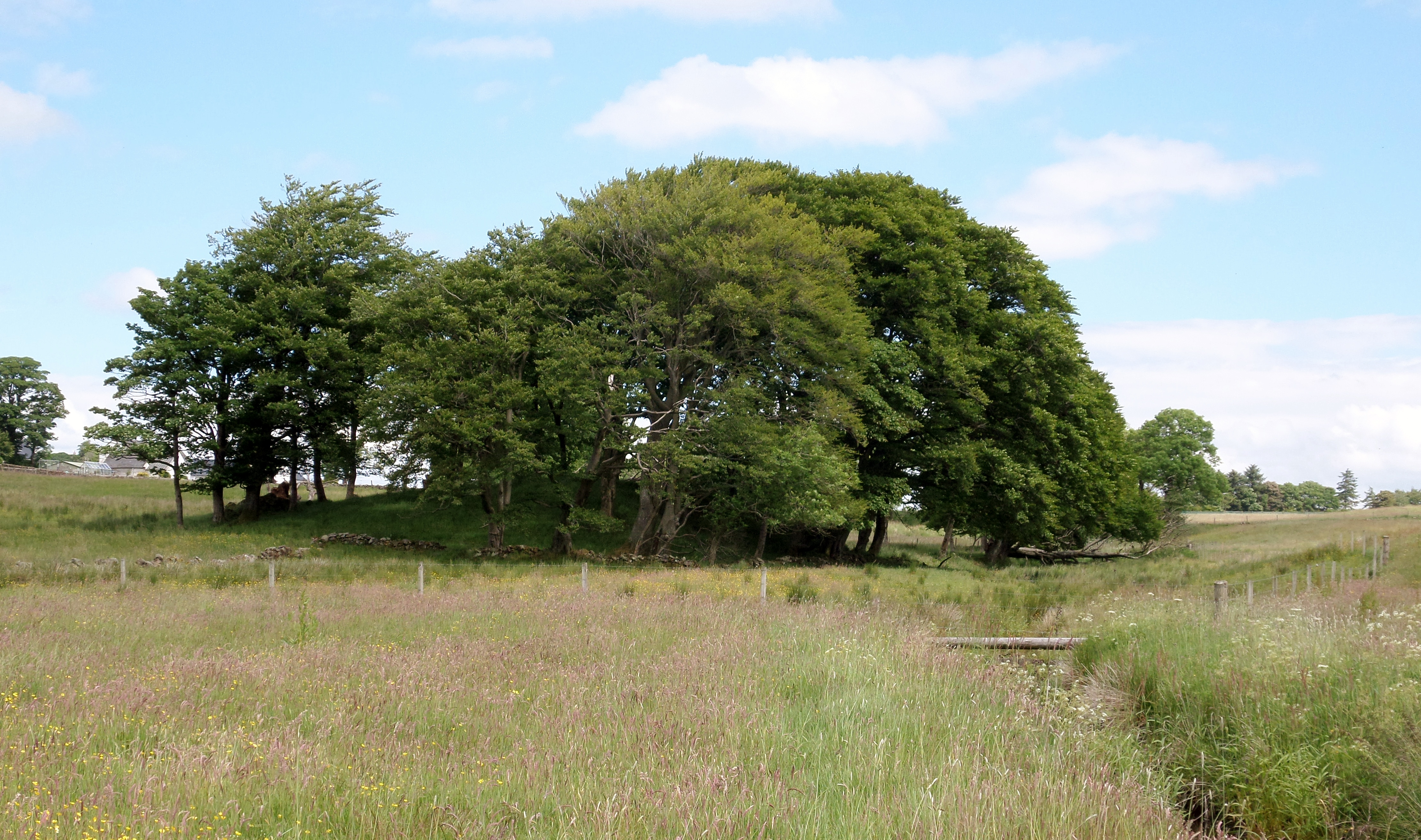
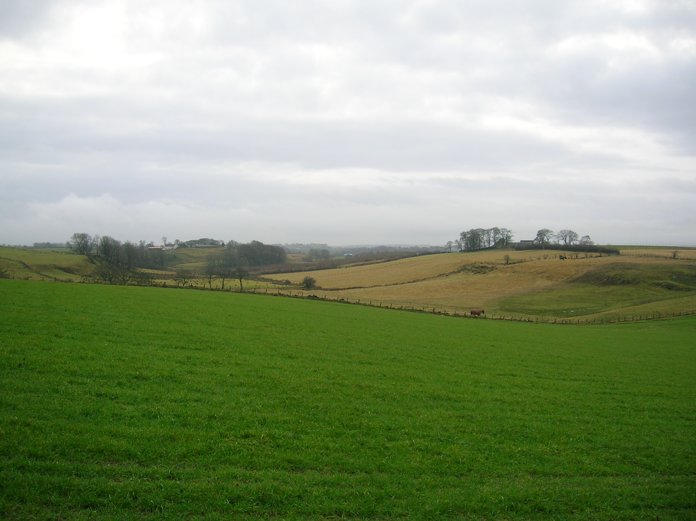
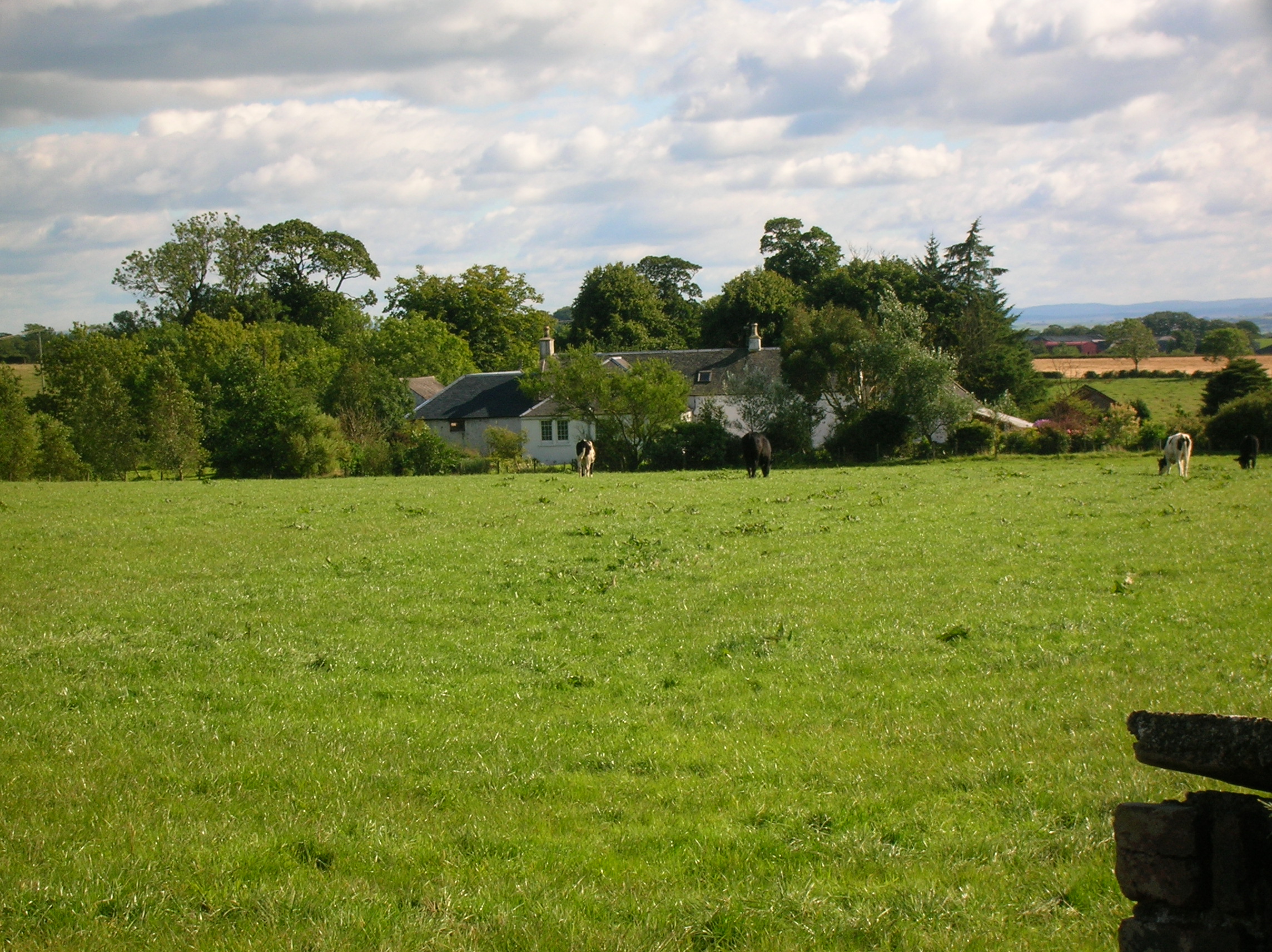
Fullwood is a small village located in the region of Ayrshire, Scotland. Situated approximately 3 miles southeast of the town of Stewarton, Fullwood is nestled amidst picturesque countryside, offering residents and visitors a tranquil and scenic setting.
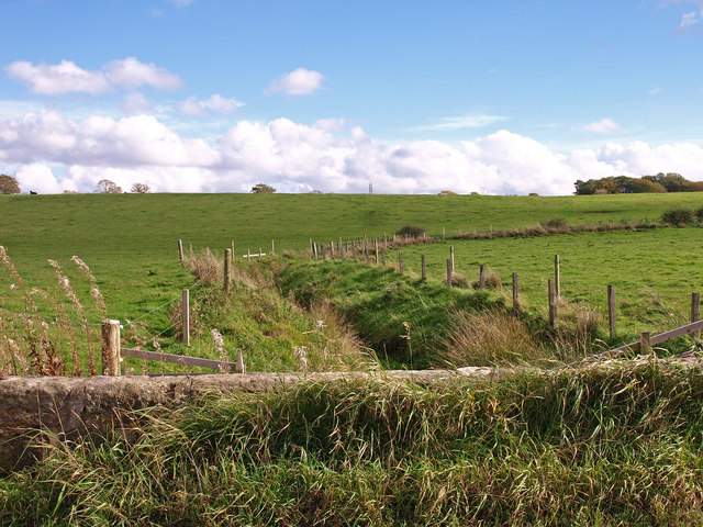
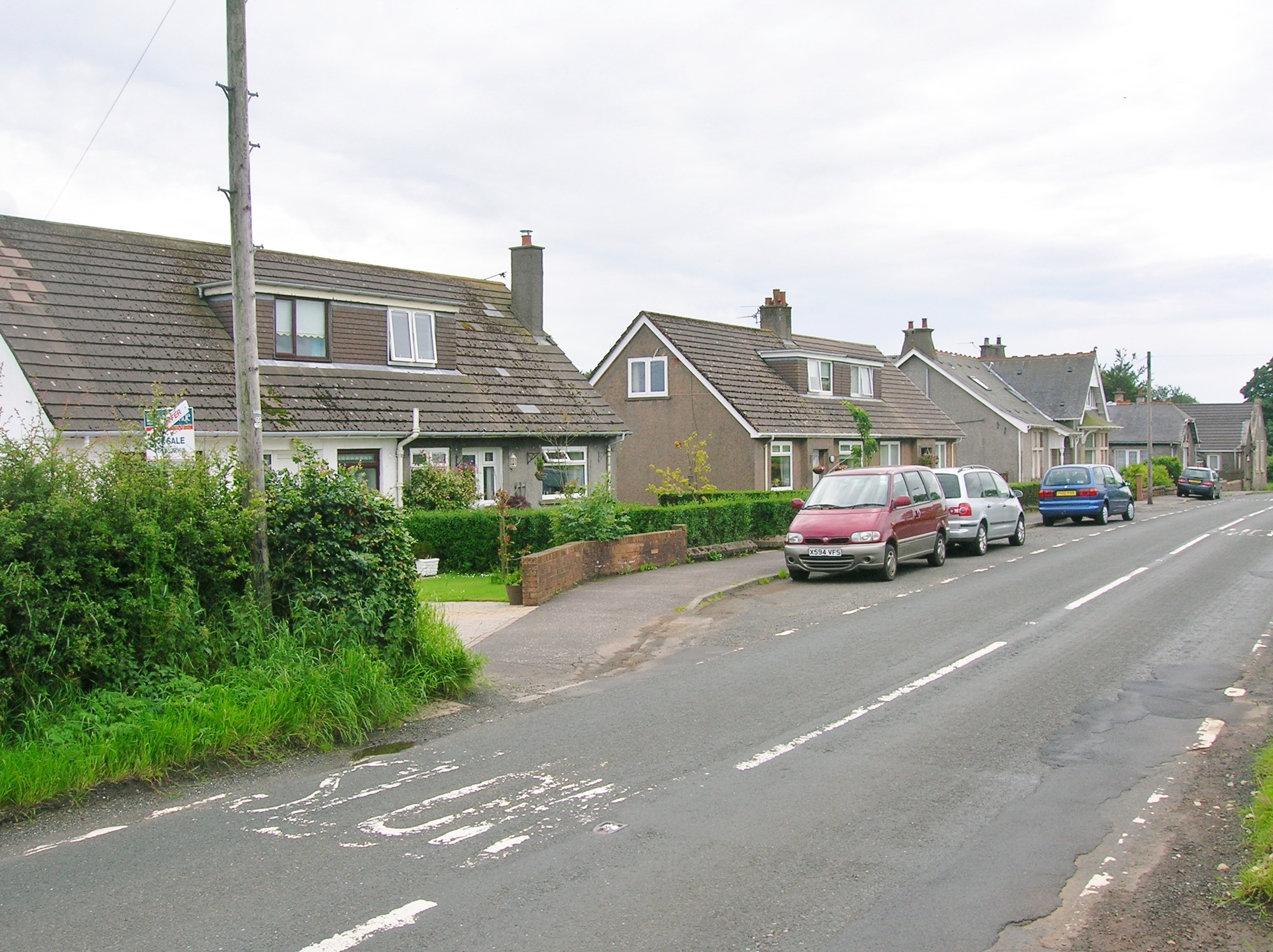
The village is characterized by its charming rural atmosphere and is primarily residential, with a close-knit community of friendly locals. The area is known for its peaceful environment, making it an ideal place for those seeking a quieter lifestyle away from the hustle and bustle of urban areas.
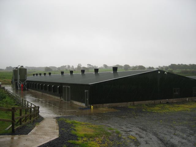
Despite its small size, Fullwood has a rich history. It was originally an agricultural community, with farming playing a vital role in the local economy. Today, remnants of this heritage can still be seen in the surrounding fields and farmland.
Fullwood benefits from its close proximity to Stewarton, which provides residents with easy access to essential amenities such as shops, schools, and healthcare facilities. Additionally, the larger towns of Kilmarnock and Irvine are just a short drive away, offering a wider range of services and recreational activities.
Nature lovers will appreciate the beautiful countryside surrounding Fullwood, which provides ample opportunities for outdoor activities such as hiking, cycling, and wildlife spotting. The nearby River Irvine is a popular spot for fishing enthusiasts.
In conclusion, Fullwood offers a peaceful and idyllic lifestyle in the heart of Ayrshire's countryside. Its close-knit community, stunning natural surroundings, and convenient location make it an attractive place to live or visit for those seeking a slower pace of life.
If you have any feedback on the listing, please let us know in the comments section below.
Fullwood Images
Images are sourced within 2km of 55.719329/-4.4818034 or Grid Reference NS4450. Thanks to Geograph Open Source API. All images are credited.


Fullwood is located at Grid Ref: NS4450 (Lat: 55.719329, Lng: -4.4818034)
Unitary Authority: East Ayrshire
Police Authority: Ayrshire
What 3 Words
///branded.mothering.wage. Near Dunlop, East Ayrshire
Nearby Locations
Related Wikis

Dunlop Castle
Dunlop Castle was a 14th-century castle, about 2.5 miles (4.0 km) north of Stewarton, East Ayrshire, Scotland. A large Jacobean-style house, Dunlop House...
Kingsford, East Ayrshire
Kingsford is a hamlet or clachan in Strathannick, East Ayrshire, parish of Stewarton, Scotland. The habitation is situated on the B769, two miles north...
Lands of Blacklaw
The Lands of Blacklaw formed a small property of five merks worth, in the Lordship of Stewarton at the eastern extremity of Strathannick, between the hamlet...
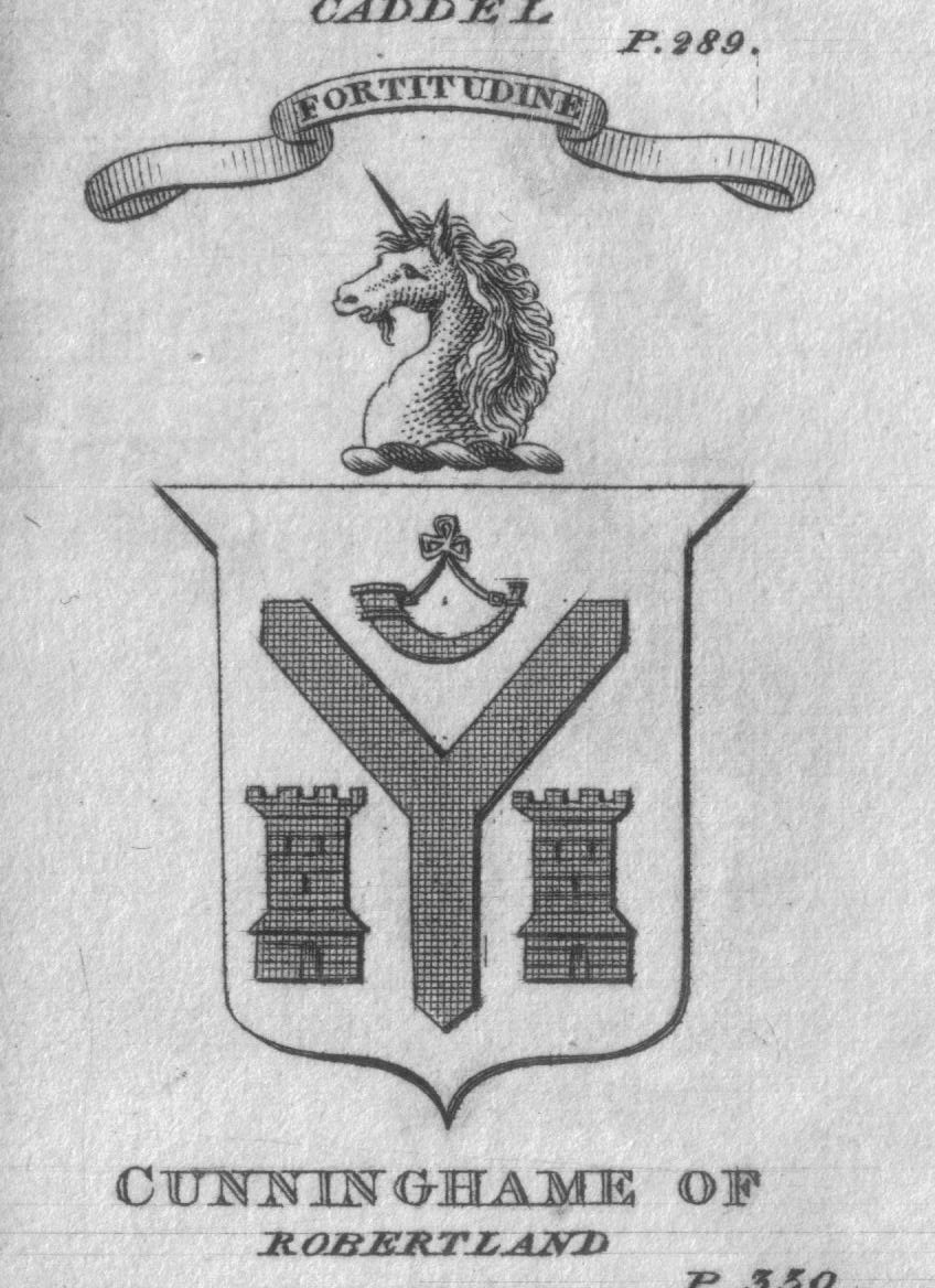
Castle and Barony of Robertland
The Castle and Barony of Robertland (NS 4428 4693) is located near Stewarton, off the B769 road, in the old district of Cunninghame, Parish of Stewarton...
Halket Loch
Halket Loch' also known as Halkhead or Halketh, was situated in the mid-Ayrshire clayland near Lugton. It is visible as a surface depression in pastureland...
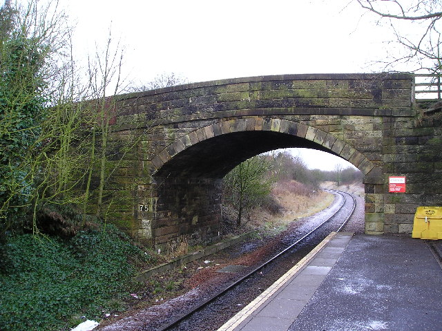
Dunlop railway station
Dunlop railway station serves the village of Dunlop in East Ayrshire, Scotland. The station is managed by ScotRail and is on the Glasgow South Western...
Kirkwood Estate, East Ayrshire
The Lands of Kirkwood (NS3947) formed a small estate in the Parish of Stewarton, East Ayrshire lying between Stewarton and Dunlop, which in 1678 became...

Thurgartstone
The Thurgartstone or Ogrestone is a prominent glacial erratic stone near Dunlop in East Ayrshire, Scotland. The Thurgartstone stands in a field at Brandleside...
Nearby Amenities
Located within 500m of 55.719329,-4.4818034Have you been to Fullwood?
Leave your review of Fullwood below (or comments, questions and feedback).