Church Common
Wood, Forest in Suffolk East Suffolk
England
Church Common

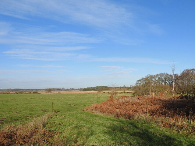
Church Common is a picturesque woodland area located in Suffolk, England. Covering an expansive area, it is known for its dense forest and diverse ecosystem. The common is primarily characterized by its lush woodlands, which are home to a variety of tree species including oak, ash, and beech.
The woodland is a haven for wildlife and provides a habitat for numerous species. It is frequented by a wide range of birds such as woodpeckers, owls, and various songbirds, making it a popular destination for birdwatching enthusiasts. Additionally, the common is inhabited by mammals such as foxes, badgers, and deer, adding to its natural charm.
One of the notable features of Church Common is its well-preserved ancient woodland. This area has remained relatively untouched for centuries, allowing visitors to witness the natural beauty and history of the region. The ancient woodland is known for its towering trees, carpeted forest floor, and abundance of wildflowers during the spring and summer months.
The common also offers a network of walking trails that wind through the forest, providing visitors with the opportunity to explore the area's natural wonders. These well-maintained paths are suitable for all abilities and allow for a peaceful and serene experience in the heart of nature.
Overall, Church Common in Suffolk is a captivating woodland destination that offers a rich biodiversity and a tranquil atmosphere. Whether it's for a leisurely stroll, birdwatching, or simply enjoying the beauty of nature, Church Common is a must-visit location for nature enthusiasts and those seeking a peaceful retreat.
If you have any feedback on the listing, please let us know in the comments section below.
Church Common Images
Images are sourced within 2km of 52.324617/1.5597368 or Grid Reference TM4275. Thanks to Geograph Open Source API. All images are credited.


Church Common is located at Grid Ref: TM4275 (Lat: 52.324617, Lng: 1.5597368)
Administrative County: Suffolk
District: East Suffolk
Police Authority: Suffolk
What 3 Words
///caramel.linguists.third. Near Halesworth, Suffolk
Nearby Locations
Related Wikis
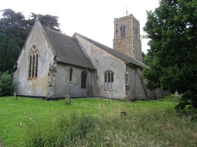
Wenhaston
Wenhaston is a village in the civil parish of Wenhaston with Mells Hamlet, in the East Suffolk district, in northeastern Suffolk, England. It is situated...
Wenhaston railway station
Wenhaston railway station was in Wenhaston, Suffolk. It closed in 1929, 50 years after it had opened for passenger traffic. The Southwold Railway Trust...
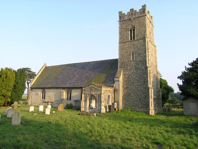
Blyford
Blyford (formerly known as Blythford) is a village and civil parish in the East Suffolk district of Suffolk, England, about 3 miles (5 km) east of Halesworth...
Wenhaston with Mells Hamlet
Wenhaston with Mells Hamlet is a civil parish in the East Suffolk district, in the county of Suffolk, England. The population at the 2011 Census was 801...
Nearby Amenities
Located within 500m of 52.324617,1.5597368Have you been to Church Common?
Leave your review of Church Common below (or comments, questions and feedback).