Hospital Plantation
Wood, Forest in Norfolk Broadland
England
Hospital Plantation
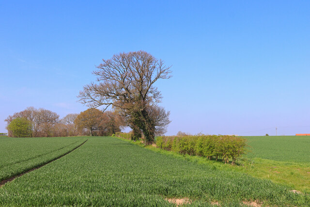
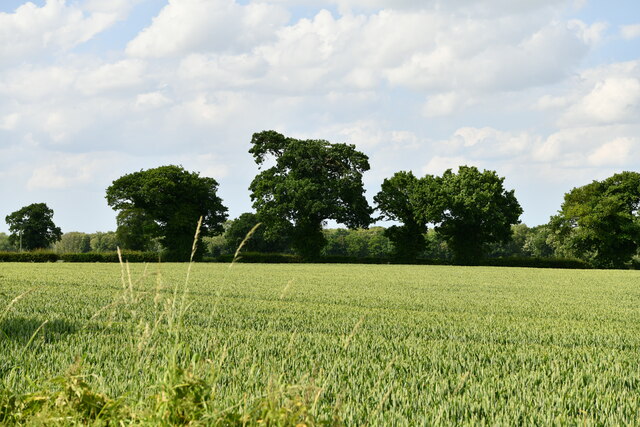
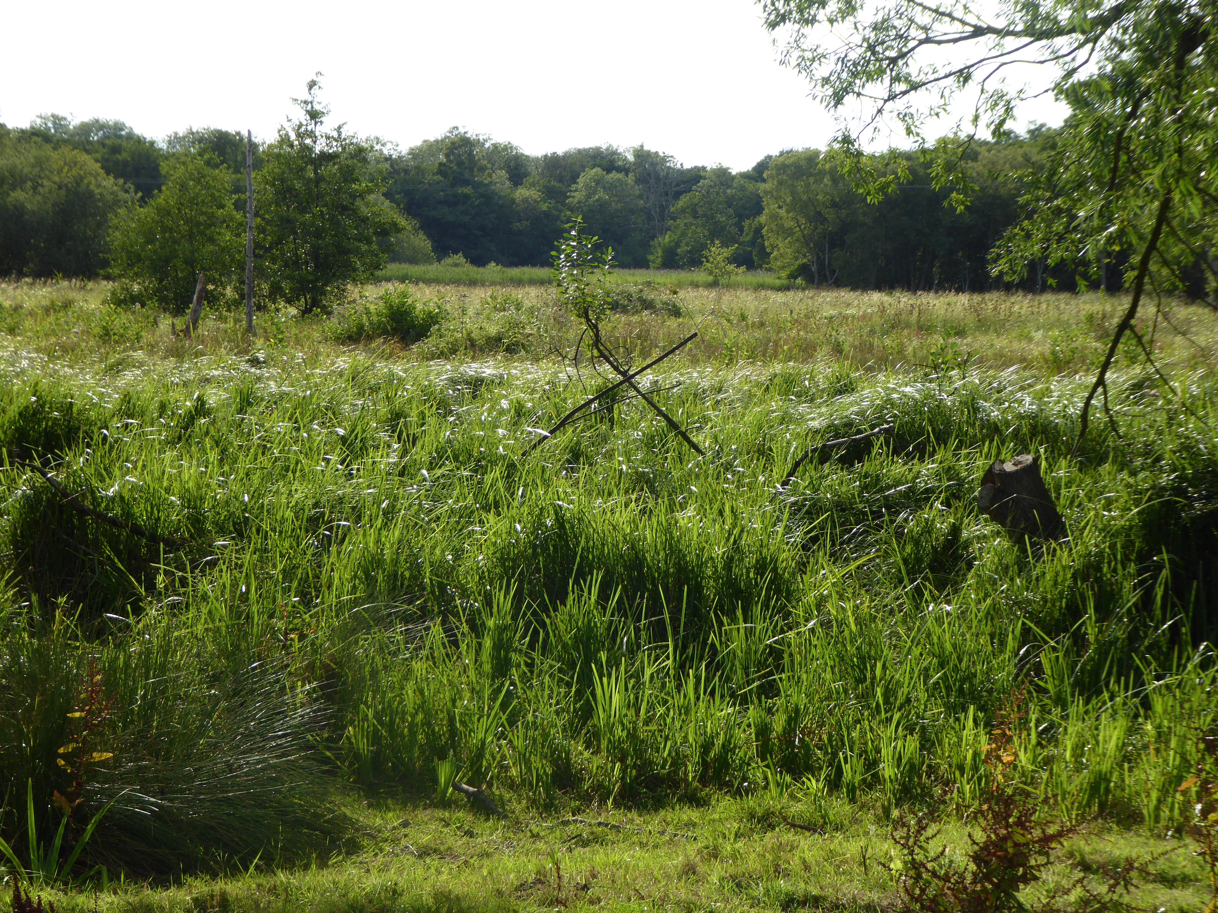
Hospital Plantation, Norfolk, also known as Wood or Forest, is a well-preserved natural area located in Norfolk, England. Covering an approximate area of 200 hectares, it is primarily characterized by its dense woodland and diverse flora and fauna.
The woodland within Hospital Plantation consists of a mixture of deciduous and coniferous trees, creating a rich and vibrant ecosystem. Oak, beech, birch, and pine trees dominate the area, providing a habitat for various bird species, small mammals, and insects. The lush undergrowth further enhances the biodiversity, hosting a variety of wildflowers, ferns, and mosses.
The plantation has a long history, with records dating back to the medieval period. It was originally part of a larger estate and was used for timber production and hunting grounds. Over the years, it has been managed by different landowners, including the hospital that gave it its name.
Today, Hospital Plantation serves as a recreational area for locals and visitors alike. It offers numerous walking trails and paths, providing an opportunity for nature enthusiasts to explore the serene surroundings and enjoy the tranquility of the woodland. It is also a popular spot for birdwatching, with sightings of species such as woodpeckers, nuthatches, and owls.
The management and conservation of Hospital Plantation are overseen by local authorities and conservation organizations, ensuring the protection and preservation of this valuable natural resource for future generations.
If you have any feedback on the listing, please let us know in the comments section below.
Hospital Plantation Images
Images are sourced within 2km of 52.60776/1.5827675 or Grid Reference TG4207. Thanks to Geograph Open Source API. All images are credited.


Hospital Plantation is located at Grid Ref: TG4207 (Lat: 52.60776, Lng: 1.5827675)
Administrative County: Norfolk
District: Broadland
Police Authority: Norfolk
What 3 Words
///darkest.adjusting.mush. Near Acle, Norfolk
Nearby Locations
Related Wikis
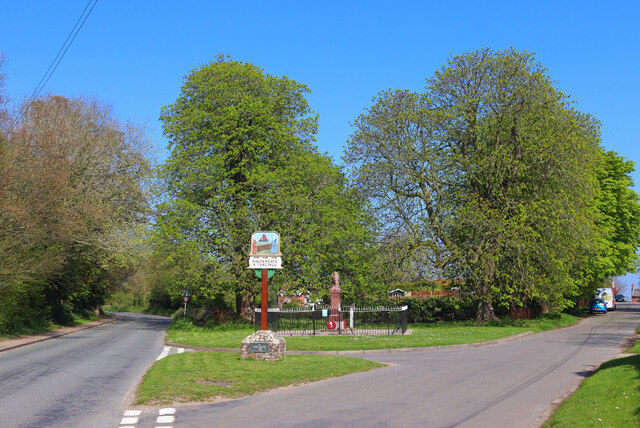
Halvergate
Halvergate is a village and civil parish in the English county of Norfolk, north of Reedham, between the Rivers Bure and Yare, within The Broads. To the...
Tunstall, Norfolk
Tunstall is a village and former civil parish, now in the parish of Halvergate, in the Broadland district of Norfolk, England. It lies some 14 miles (22...

Mutton's Mill
Mutton's Mill (also known as Manor House Mill) is a windpump located on the Halvergate Marshes in the detached parish of Freethorpe within The Broads in...
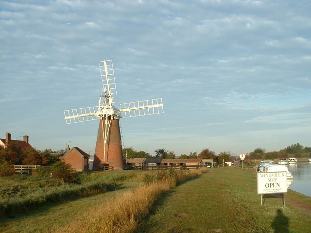
Stracey Arms Windpump
Stracey Arms Windpump is a windpump located at Tunstall in the civil parish of Halvergate, Norfolk, England. It is a grade II* listed building. It takes...

Freethorpe
Freethorpe is a village and civil parish in the English of Norfolk. The village is located 7.2 miles (11.6 km) south-west of Great Yarmouth and 11 miles...

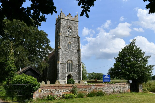
St Mary's Church, Moulton
St Mary's Church is a redundant Anglican round-tower church near the village of Moulton St Mary, Norfolk, England. It is recorded in the National Heritage...
Decoy Carr, Acle
Decoy Carr, Acle is a 56-hectare (140-acre) biological Site of Special Scientific Interest south of Acle in Norfolk. It is part of the Broadland Ramsar...

Damgate Marshes, Acle
Damgate Marshes, Acle is a 64.7-hectare (160-acre) biological Site of Special Scientific Interest between Norwich and Great Yarmouth in Norfolk. It is...
Nearby Amenities
Located within 500m of 52.60776,1.5827675Have you been to Hospital Plantation?
Leave your review of Hospital Plantation below (or comments, questions and feedback).