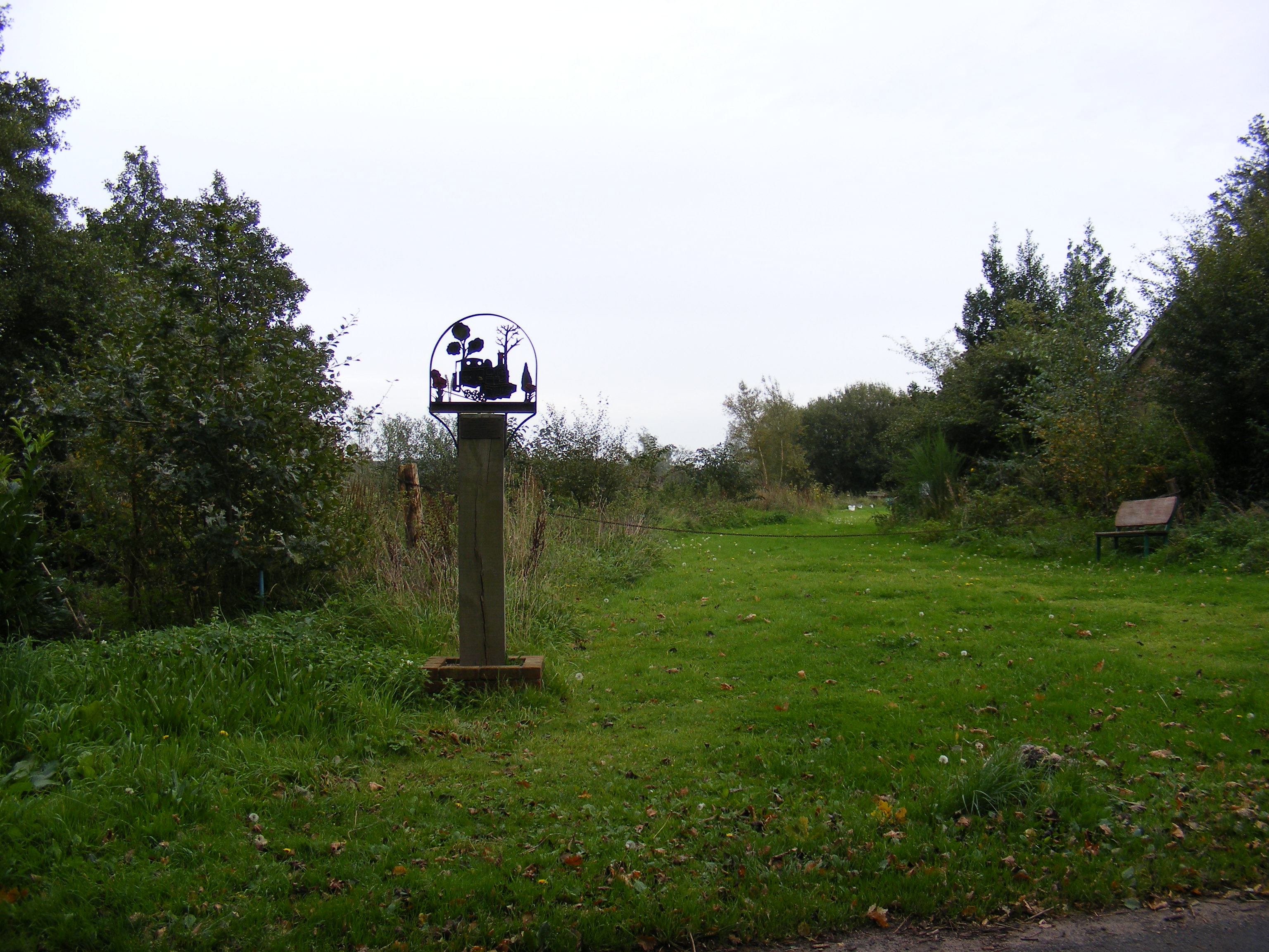
Blower's Common
Downs, Moorland in Suffolk East Suffolk
England
Blower's Common

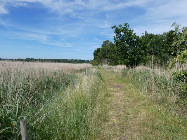
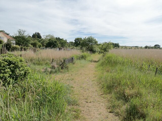
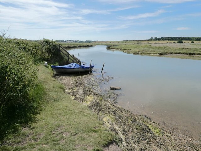
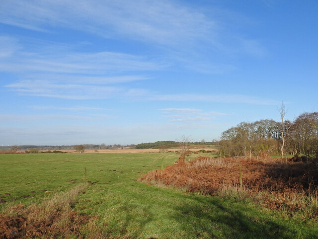
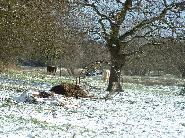
Blower's Common, Suffolk, is a picturesque area located in the eastern part of England. Spread across a vast expanse of land, this common is known for its diverse natural landscapes, encompassing downs, moorland, and heath. It is a popular destination for outdoor enthusiasts, nature lovers, and those seeking tranquility away from urban life.
The downs in Blower's Common offer rolling hills and sweeping vistas, providing visitors with breathtaking views of the surrounding countryside. The area is characterized by its lush green grasslands, interrupted only by the occasional clusters of trees and wildflowers. It is an ideal location for hiking, picnicking, and enjoying the beauty of the outdoors.
The moorland in Blower's Common showcases a unique and rugged landscape, with vast expanses of heather and gorse covering the undulating terrain. This area is home to a variety of wildlife, including birds, small mammals, and reptiles. Nature enthusiasts can explore the moorland through designated walking trails, allowing them to fully immerse themselves in the rich biodiversity of the area.
Blower's Common is a tranquil haven that offers visitors a chance to disconnect from the hustle and bustle of everyday life. The serene atmosphere, combined with the stunning natural beauty, provides an ideal setting for relaxation and rejuvenation. Whether exploring the downs, wandering through the moorland, or simply enjoying the peaceful ambiance, Blower's Common offers a unique and unforgettable experience for all who visit.
If you have any feedback on the listing, please let us know in the comments section below.
Blower's Common Images
Images are sourced within 2km of 52.32323/1.564264 or Grid Reference TM4275. Thanks to Geograph Open Source API. All images are credited.


Blower's Common is located at Grid Ref: TM4275 (Lat: 52.32323, Lng: 1.564264)
Administrative County: Suffolk
District: East Suffolk
Police Authority: Suffolk
What 3 Words
///decades.bugs.prank. Near Halesworth, Suffolk
Nearby Locations
Related Wikis
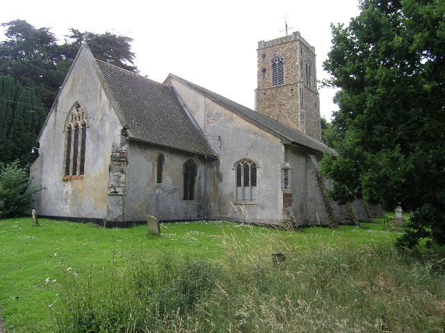
Wenhaston
Wenhaston is a village situated to the south of the River Blyth in northeastern Suffolk, England. In 2018 it had an estimated population of 563. ��2�...
Wenhaston railway station
Wenhaston railway station was in Wenhaston, Suffolk. It closed in 1929, 50 years after it had opened for passenger traffic. The Southwold Railway Trust...
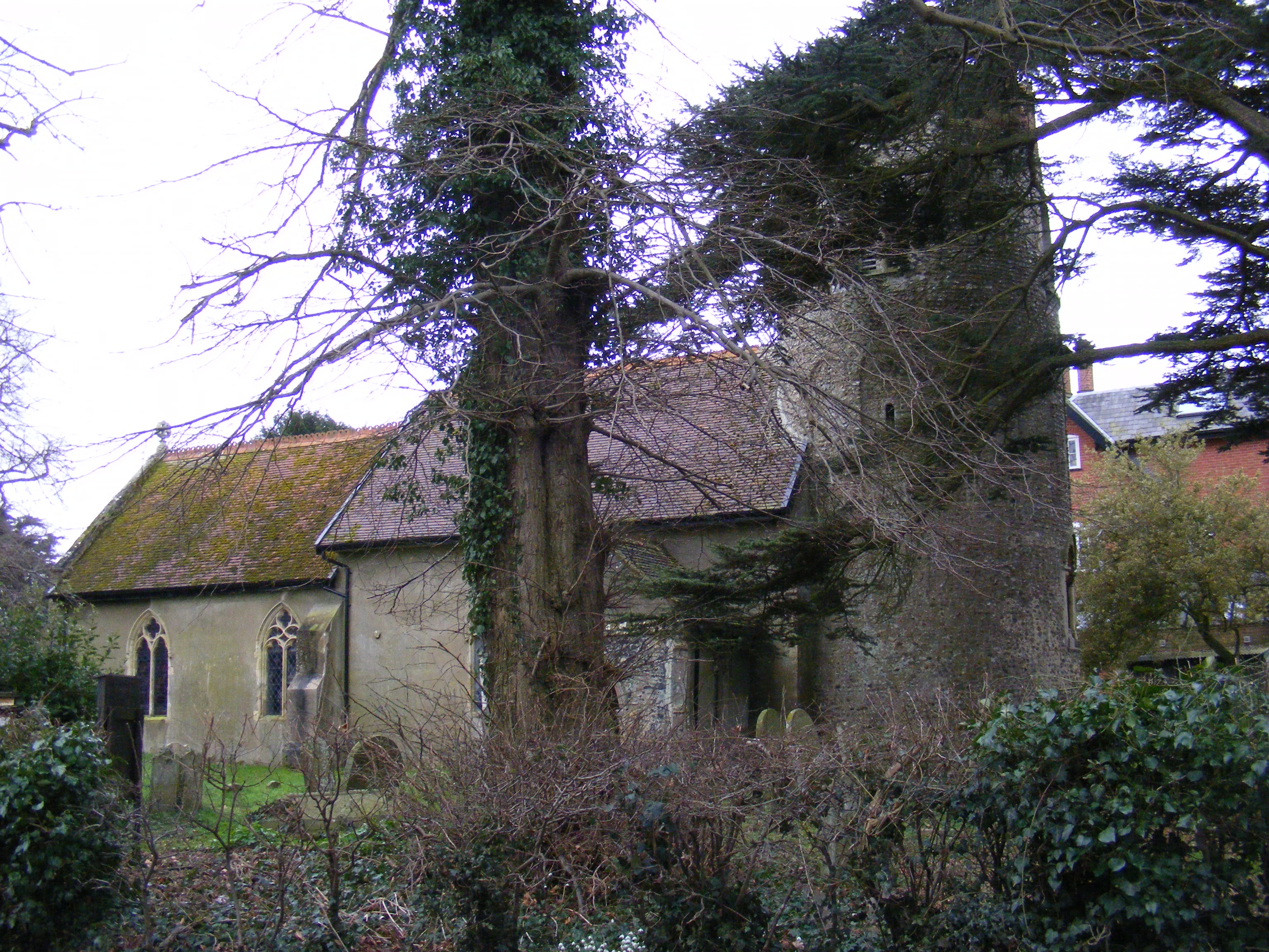
Blyford
Blyford (formerly known as Blythford) is a village and civil parish in the East Suffolk district of Suffolk, England, about 3 miles (5 km) east of Halesworth...
Thorington
Thorington is a village and a civil parish in the hundred of Blything, in the East Suffolk district of the English county of Suffolk. It is located around...
Wenhaston with Mells Hamlet
Wenhaston with Mells Hamlet is a civil parish in the East Suffolk district, in the county of Suffolk, England. The population at the 2011 Census was 801...
Church Farm Marshes
Church Farm Marshes is a 56 hectare nature reserve in Thorington in Suffolk. It is managed by the Suffolk Wildlife Trust.This site has areas of marshland...
Blything Rural District
Blything Rural District was a rural district within the administrative county of East Suffolk between 1894 and 1934. == Evolution == The district had its...

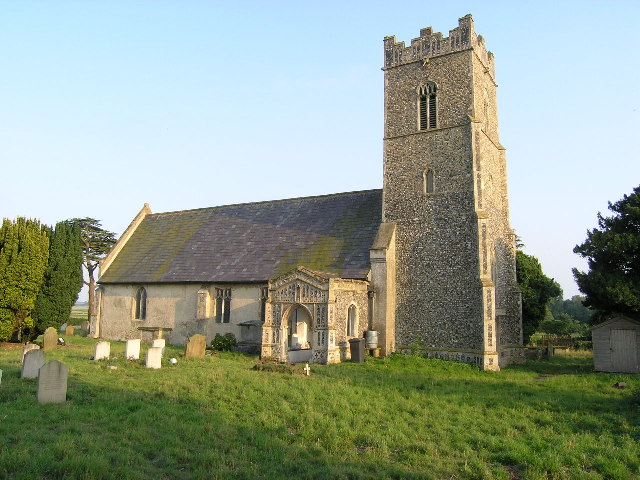
Holy Trinity Church, Blythburgh
The Holy Trinity Church is the parish church of the village of Blythburgh in the East Suffolk district, in the county of Suffolk, England. It is part of...
Nearby Amenities
Located within 500m of 52.32323,1.564264Have you been to Blower's Common?
Leave your review of Blower's Common below (or comments, questions and feedback).