Blyford Wood
Wood, Forest in Suffolk East Suffolk
England
Blyford Wood

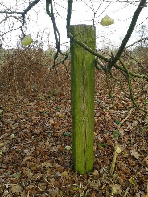
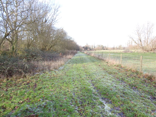
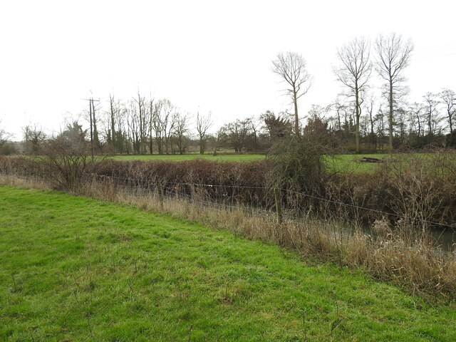
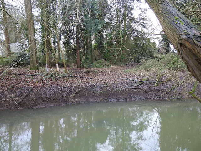
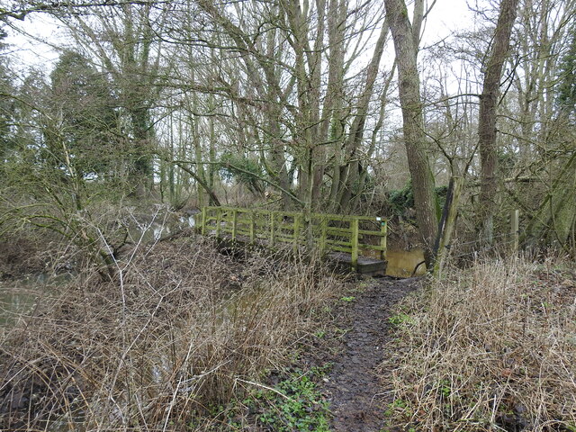
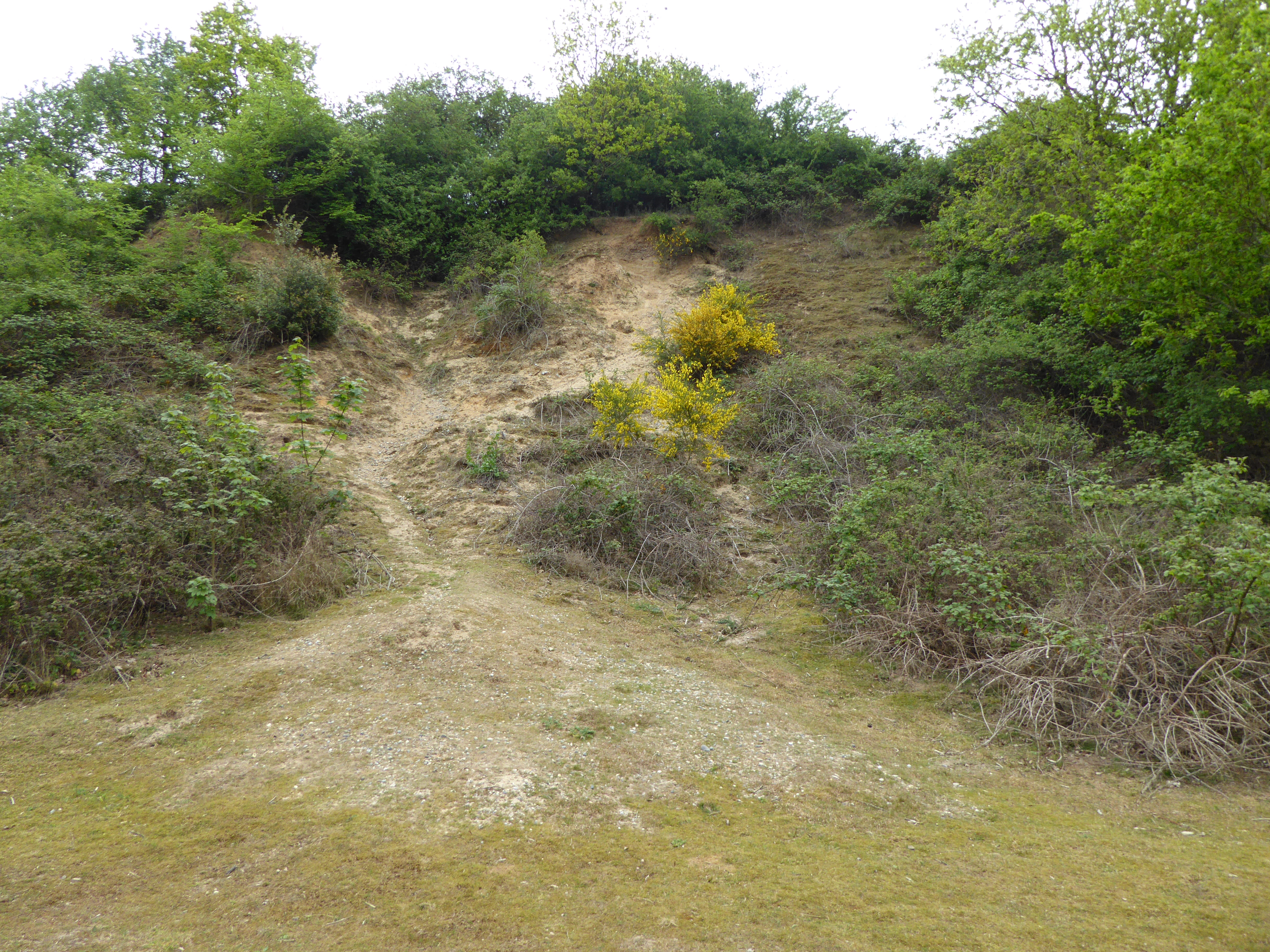
Blyford Wood is a picturesque woodland located in Suffolk, England. Situated near the village of Blyford, it covers an area of approximately 160 acres and is renowned for its natural beauty and diverse wildlife.
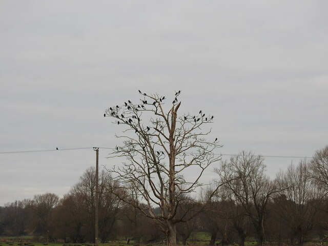
The wood consists mainly of broadleaf trees, including oak, beech, and birch, which create a dense and enchanting canopy. These towering trees provide shelter and a rich habitat for a wide variety of animals, making it a popular spot for nature enthusiasts and birdwatchers. Visitors can often spot species such as woodpeckers, nightingales, and buzzards, among others.
Blyford Wood is crisscrossed by a network of footpaths and trails, allowing visitors to explore its tranquil surroundings. The paths wind through the wood, offering glimpses of the sunlight filtering through the tree canopy and the carpet of bluebells that bloom in spring. The wood is particularly stunning during autumn, when the leaves change color, painting the landscape in vibrant hues of red, orange, and gold.
Managed by the Suffolk Wildlife Trust, Blyford Wood is also home to a variety of rare flora and fauna. The woodland floor is adorned with an array of wildflowers, including primroses, violets, and foxgloves. Additionally, it provides habitat for protected species such as the silver-washed fritillary butterfly and the great crested newt.
Blyford Wood offers a peaceful escape from the bustling city life, providing a haven for both nature lovers and those seeking solace in the tranquility of the outdoors.
If you have any feedback on the listing, please let us know in the comments section below.
Blyford Wood Images
Images are sourced within 2km of 52.346833/1.5570729 or Grid Reference TM4278. Thanks to Geograph Open Source API. All images are credited.


Blyford Wood is located at Grid Ref: TM4278 (Lat: 52.346833, Lng: 1.5570729)
Administrative County: Suffolk
District: East Suffolk
Police Authority: Suffolk
What 3 Words
///emeralds.envisage.minder. Near Halesworth, Suffolk
Nearby Locations
Related Wikis
Blyford
Blyford (formerly known as Blythford) is a village and civil parish in the East Suffolk district of Suffolk, England, about 3 miles (5 km) east of Halesworth...

Blything Hundred
Blything was a hundred of eastern Suffolk, and with an area of 87,641 acres (354.67 km2) was the largest of Suffolk's 21 hundreds. The origins of the hundred...
Wenhaston railway station
Wenhaston railway station was in Wenhaston, Suffolk. It closed in 1929, 50 years after it had opened for passenger traffic. The Southwold Railway Trust...
Holton Pit
Holton Pit is a 1.6-hectare (4.0-acre) geological Site of Special Scientific Interest east of Halesworth in Suffolk. It is a Geological Conservation Review...
Mells, Suffolk
Mells is a hamlet in the English county of Suffolk. It is on the southern bank of the River Blyth across the river by bridge from Holton; it forms part...
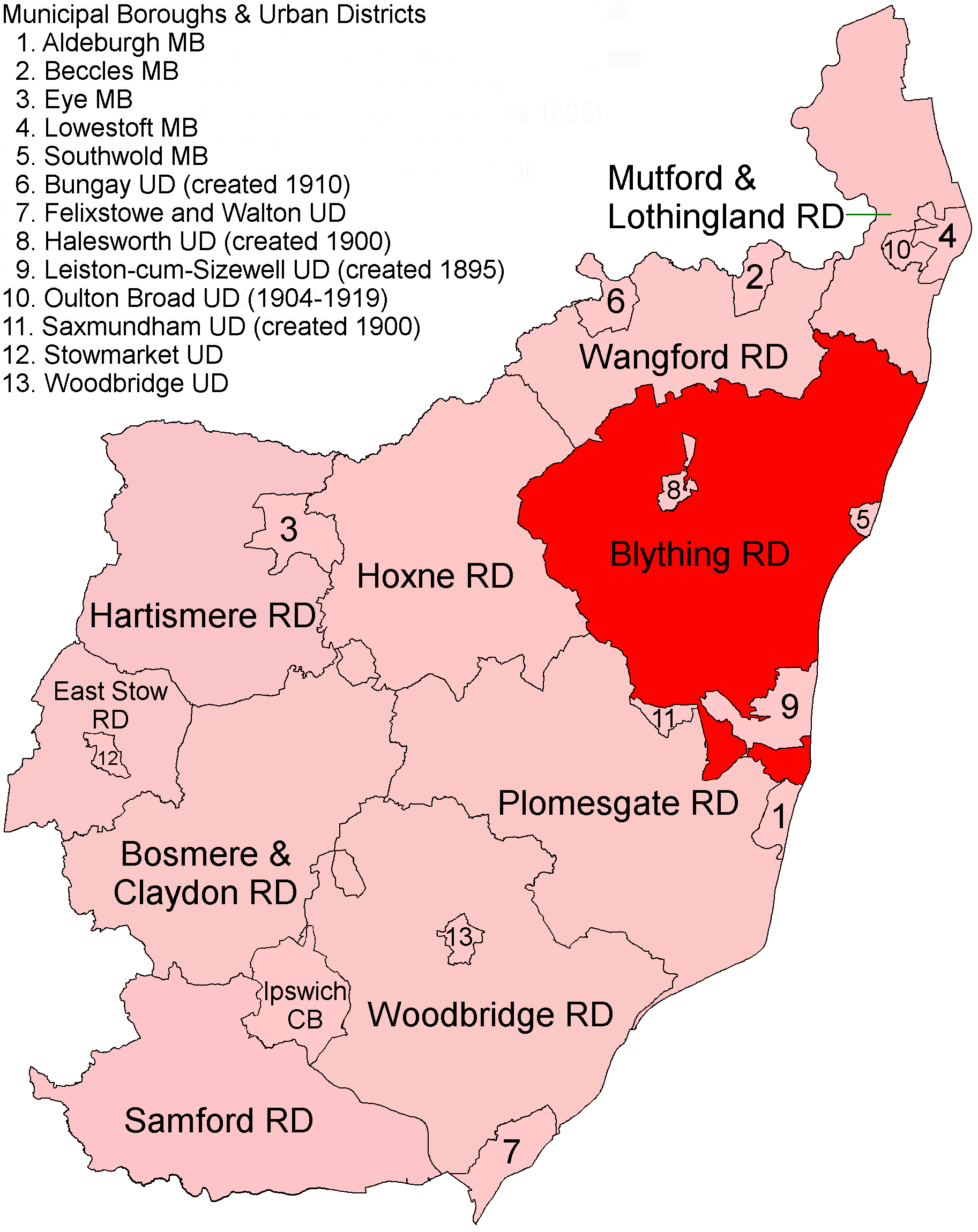
Blything Rural District
Blything Rural District was a rural district within the administrative county of East Suffolk between 1894 and 1934. == Evolution == The district had its...
Wenhaston with Mells Hamlet
Wenhaston with Mells Hamlet is a civil parish in the East Suffolk district, in the county of Suffolk, England. The population at the 2011 Census was 801...
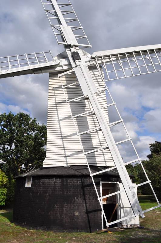
Holton Windmill
Holton Windmill is a Grade II listed post mill at Holton, Suffolk, England which has been preserved as a landmark. == History == Holton Mill was built...
Have you been to Blyford Wood?
Leave your review of Blyford Wood below (or comments, questions and feedback).