Brickstone Carr
Wood, Forest in Norfolk Broadland
England
Brickstone Carr

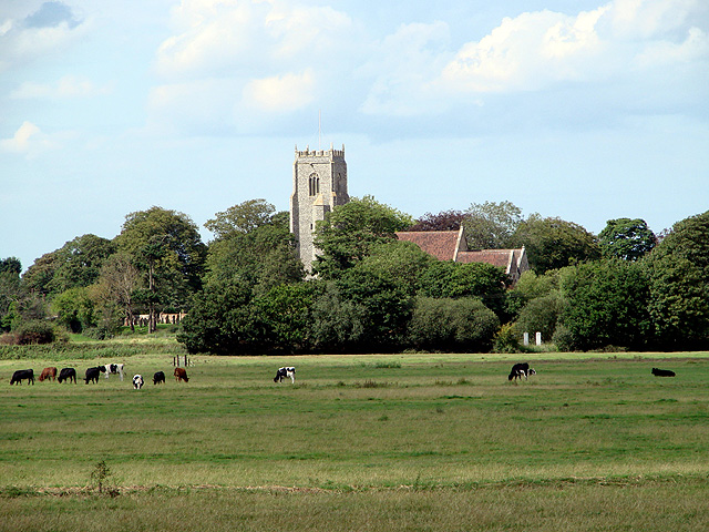
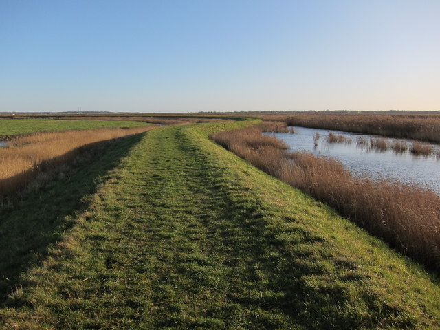
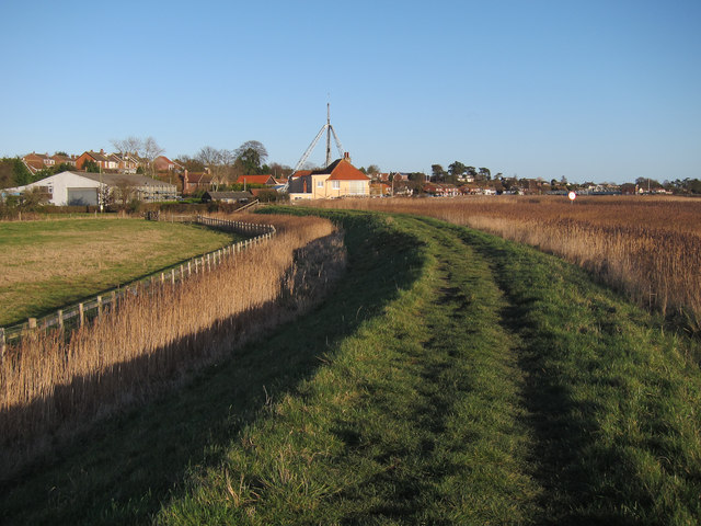
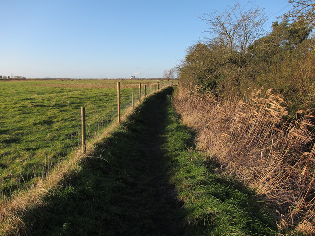
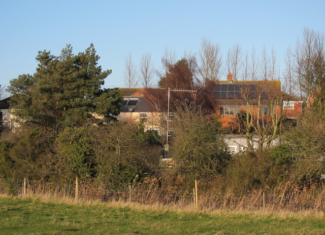
Brickstone Carr, located in Norfolk, England, is a picturesque wood and forest area that offers a tranquil and enchanting escape from the hustle and bustle of everyday life. Spanning over a vast expanse of land, Brickstone Carr is renowned for its natural beauty and rich biodiversity.
The wood and forest of Brickstone Carr are predominantly composed of a variety of tree species, including oak, beech, and birch. The dense canopy formed by these towering trees creates a cool and shaded environment, making it an ideal habitat for a diverse range of wildlife.
Visitors to Brickstone Carr can explore the numerous walking trails that wind through the woods, providing the perfect opportunity to immerse themselves in nature. The well-maintained paths lead to hidden clearings, babbling brooks, and peaceful ponds, adding to the charm and serenity of the area.
This Norfolk gem is also home to a wide array of fauna. Birdwatchers will be delighted by the presence of various bird species, including woodpeckers, nightingales, and owls. Nature enthusiasts may also spot deer, rabbits, and squirrels among the undergrowth, adding an element of excitement to their visit.
Brickstone Carr offers more than just natural beauty; it also provides a valuable habitat for rare and endangered species. Conservation efforts are in place to protect the area's unique flora and fauna, ensuring its preservation for future generations to enjoy.
Whether it be for a leisurely stroll, birdwatching, or simply seeking solace in nature, Brickstone Carr in Norfolk is a haven for those seeking a peaceful and enchanting woodland experience.
If you have any feedback on the listing, please let us know in the comments section below.
Brickstone Carr Images
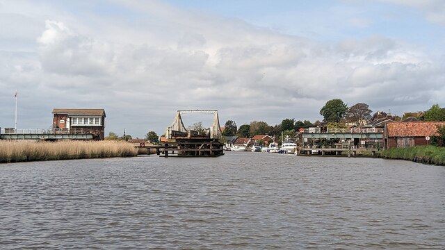
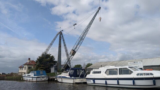
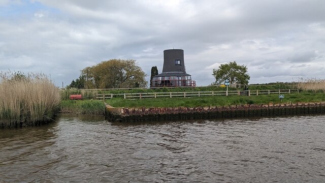
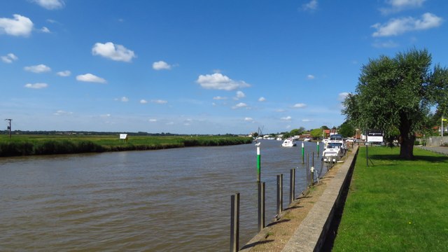
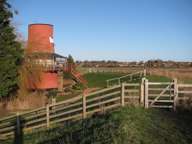
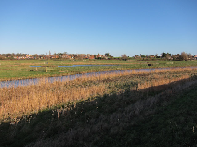
Images are sourced within 2km of 52.567898/1.5749827 or Grid Reference TG4202. Thanks to Geograph Open Source API. All images are credited.


Brickstone Carr is located at Grid Ref: TG4202 (Lat: 52.567898, Lng: 1.5749827)
Administrative County: Norfolk
District: Broadland
Police Authority: Norfolk
What 3 Words
///wager.property.fills. Near Reedham, Norfolk
Nearby Locations
Related Wikis

Reedham, Norfolk
Reedham is a village and civil parish in the English county of Norfolk and within The Broads. It is on the north bank of the River Yare, some 12 miles...
Reedham Swing Bridge
Reedham Swing Bridge, on the site of a Victorian swing bridge, is still in use at Reedham, Norfolk, England.It carries the Wherry railway line, between...

Reedham railway station (Norfolk)
Reedham railway station is on the Wherry Lines in the East of England, serving the village of Reedham, Norfolk. It is 12 miles 13 chains (19.6 km) down...
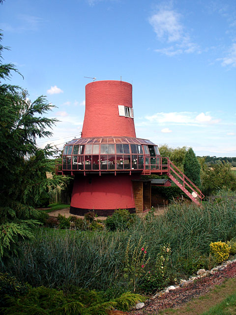
Reedham Ferry Drainage Mill
The Reedham Ferry Drainage Mill, also known as The Red Mill is a former drainage windmill found on the River Yare on The Broads in Norfolk. It is now a...
Nearby Amenities
Located within 500m of 52.567898,1.5749827Have you been to Brickstone Carr?
Leave your review of Brickstone Carr below (or comments, questions and feedback).