Clementine Wood
Wood, Forest in Suffolk East Suffolk
England
Clementine Wood
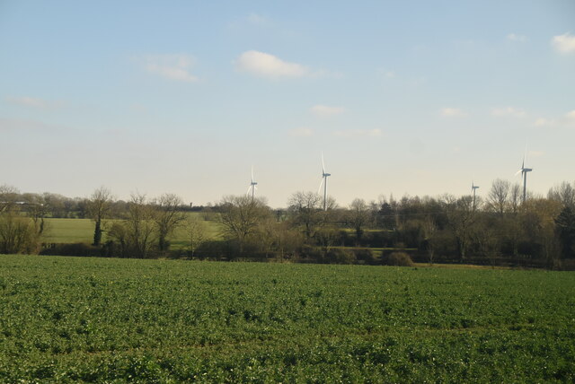
Clementine Wood, Suffolk is a picturesque forest located in the eastern part of England, specifically in the county of Suffolk. It covers an expansive area of lush greenery and is a popular destination for nature enthusiasts and outdoor lovers. The forest is known for its dense canopy of trees, with a variety of species including oak, beech, and pine, creating a diverse and vibrant ecosystem.
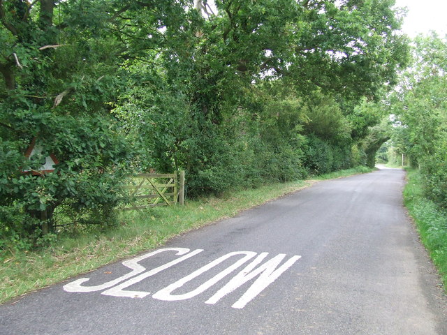
One of the main attractions of Clementine Wood is its tranquil atmosphere and serene surroundings. The forest offers a peaceful escape from the hustle and bustle of everyday life, providing visitors with an opportunity to immerse themselves in nature and enjoy the calming sounds of birds chirping and leaves rustling in the wind.
The forest is also home to a wide range of wildlife, making it an ideal spot for birdwatching and animal spotting. Visitors may encounter various species such as deer, foxes, rabbits, and numerous bird species. The forest provides a natural habitat for these creatures, offering them a safe haven away from human disturbances.
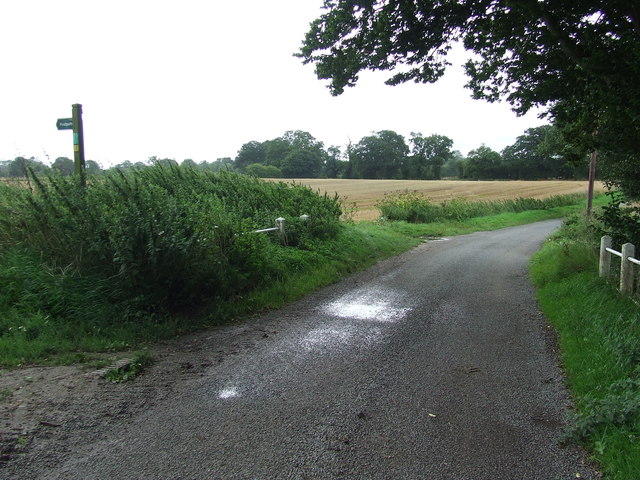
Clementine Wood is equipped with well-maintained walking trails, allowing visitors to explore the forest at their own pace. There are also picnic areas and designated camping spots for those who wish to extend their stay and fully immerse themselves in the natural beauty of the area.
Overall, Clementine Wood, Suffolk is a charming forest that offers a peaceful and enchanting experience for nature lovers. Its stunning landscapes, diverse flora and fauna, and tranquil atmosphere make it a must-visit destination for anyone seeking a connection with nature.
If you have any feedback on the listing, please let us know in the comments section below.
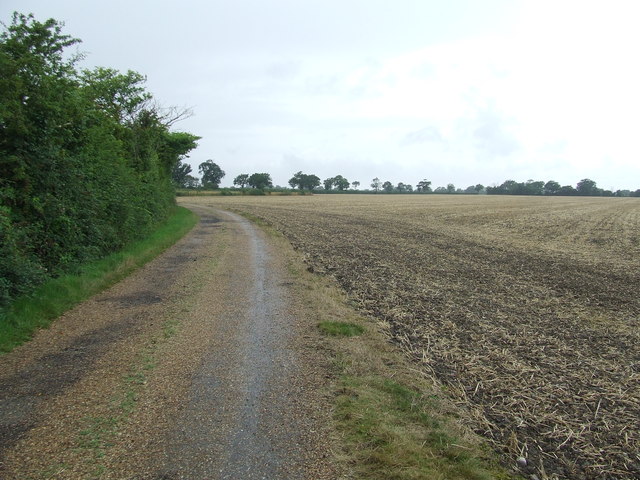
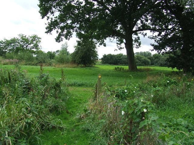
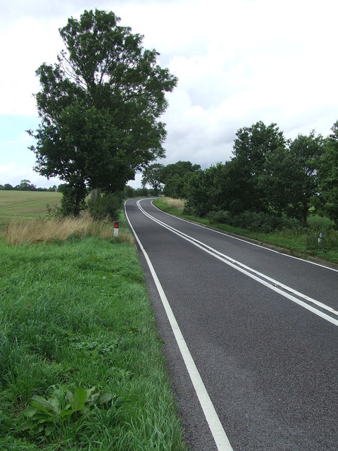
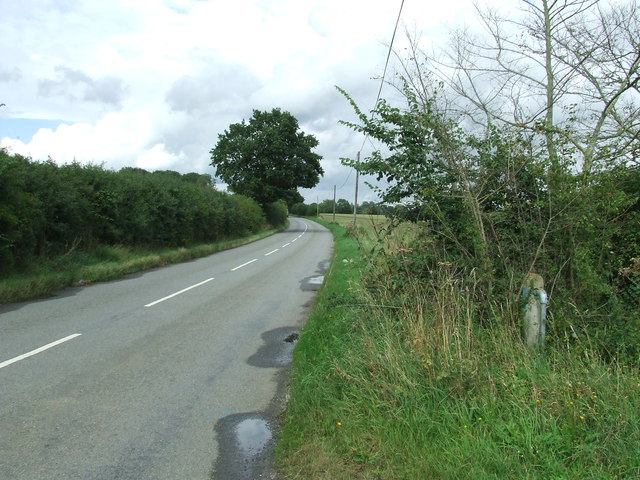
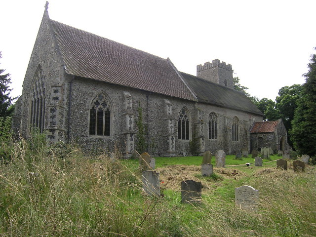
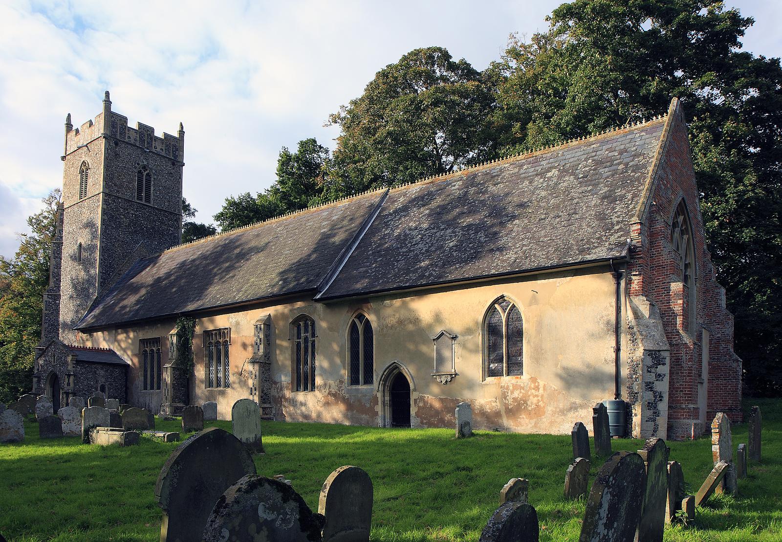
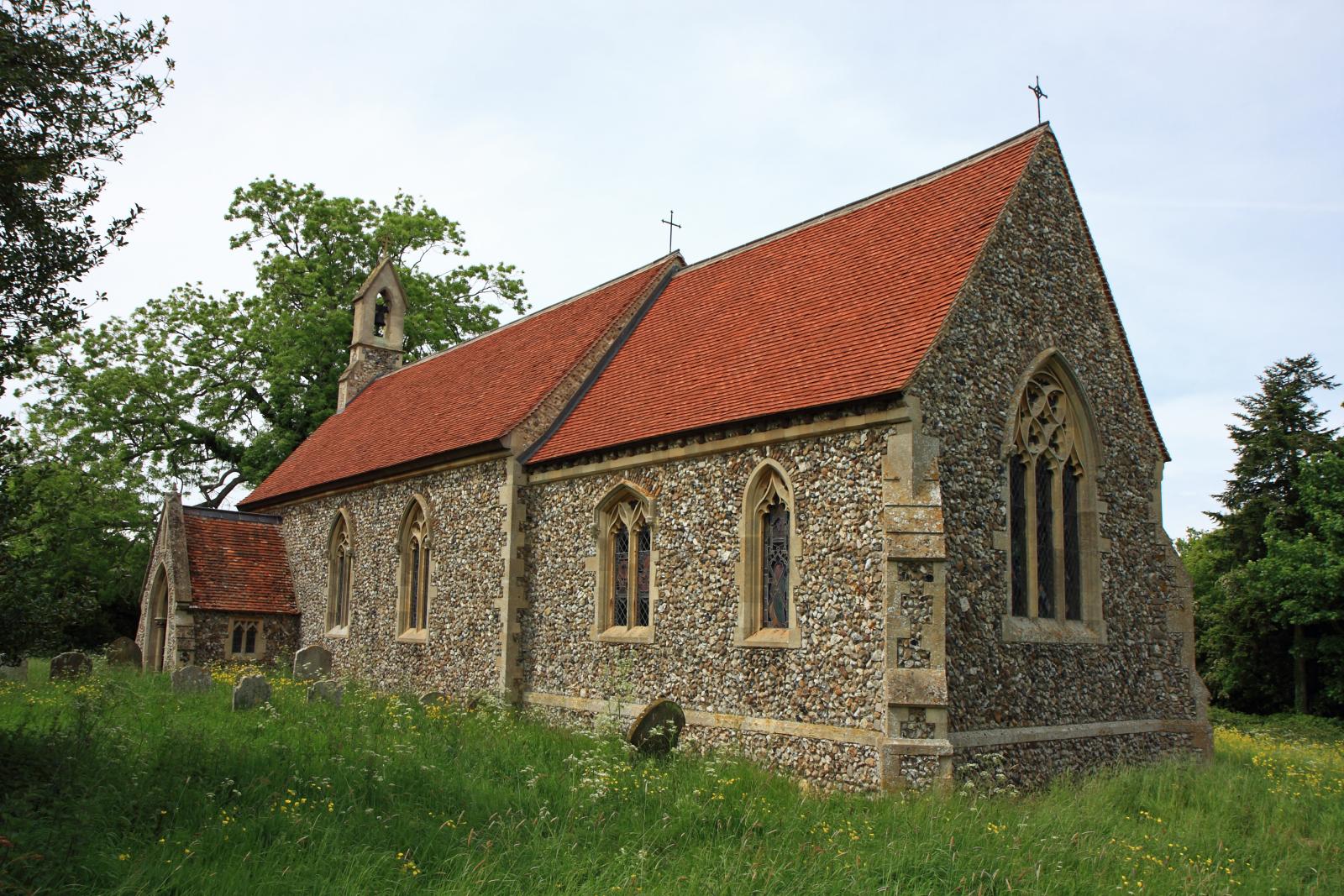
Clementine Wood Images
Images are sourced within 2km of 52.373098/1.559141 or Grid Reference TM4280. Thanks to Geograph Open Source API. All images are credited.


Clementine Wood is located at Grid Ref: TM4280 (Lat: 52.373098, Lng: 1.559141)
Administrative County: Suffolk
District: East Suffolk
Police Authority: Suffolk
What 3 Words
///parsnips.melon.investor. Near Halesworth, Suffolk
Nearby Locations
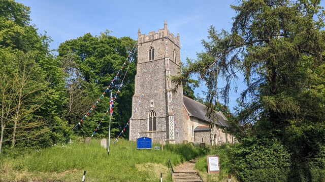
Related Wikis
Westhall
Westhall is a village and civil parish in the East Suffolk district, in the county Suffolk, England about 3 miles (5 km) north east of Halesworth, 1 mile...
Brampton, Suffolk
Brampton is a village and former civil parish, now in the parish of Brampton with Stoven, in the East Suffolk district, in the county of Suffolk, England...

Brampton with Stoven
Brampton with Stoven is a civil parish in the East Suffolk district of the English county of Suffolk. It is located 6 miles (9.7 km) south of the town...
Sotherton
Sotherton is a dispersed village and civil parish in the East Suffolk district, in the English county of Suffolk. It is located approximately 7 miles...

Stoven
Stoven is a village and former civil parish now in the parish of Brampton with Stoven, in the East Suffolk district of the English county of Suffolk. It...

RAF Halesworth
Royal Air Force Halesworth or more simply RAF Halesworth is a former Royal Air Force station located 2 miles (3 km) north east of the town of Halesworth...

Uggeshall
Uggeshall is a village and civil parish in the East Suffolk district, in the county of Suffolk, England, located approximately 6 miles (10 km) south of...

Brampton railway station (Suffolk)
Brampton railway station is on the East Suffolk Line in the east of England, serving the villages of Brampton, Redisham and surrounding hamlets in Suffolk...
Have you been to Clementine Wood?
Leave your review of Clementine Wood below (or comments, questions and feedback).