Ash Carr
Wood, Forest in Norfolk Great Yarmouth
England
Ash Carr
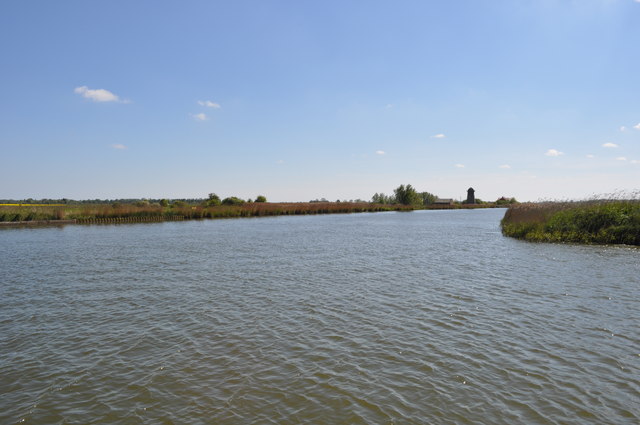
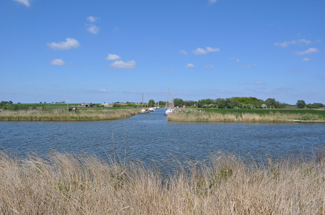
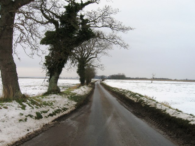
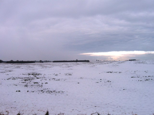
Ash Carr is a small woodland area located in Norfolk, England. It is situated within the larger forested region of Norfolk, known for its picturesque landscapes and abundant wildlife. Covering an area of approximately 50 acres, Ash Carr is characterized by a mixture of deciduous and coniferous trees, creating a diverse and vibrant ecosystem.
The woodland is predominantly made up of ash trees, hence its name, which provide a dense canopy and offer shelter to a variety of bird species. The forest floor is covered in a thick layer of moss and fallen leaves, creating a soft and quiet pathway for visitors to explore.
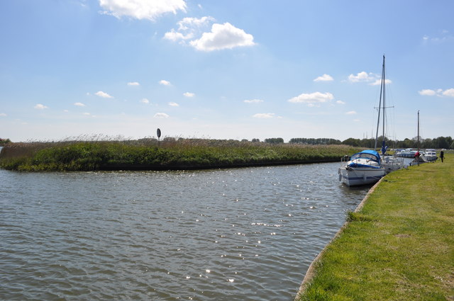
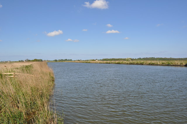
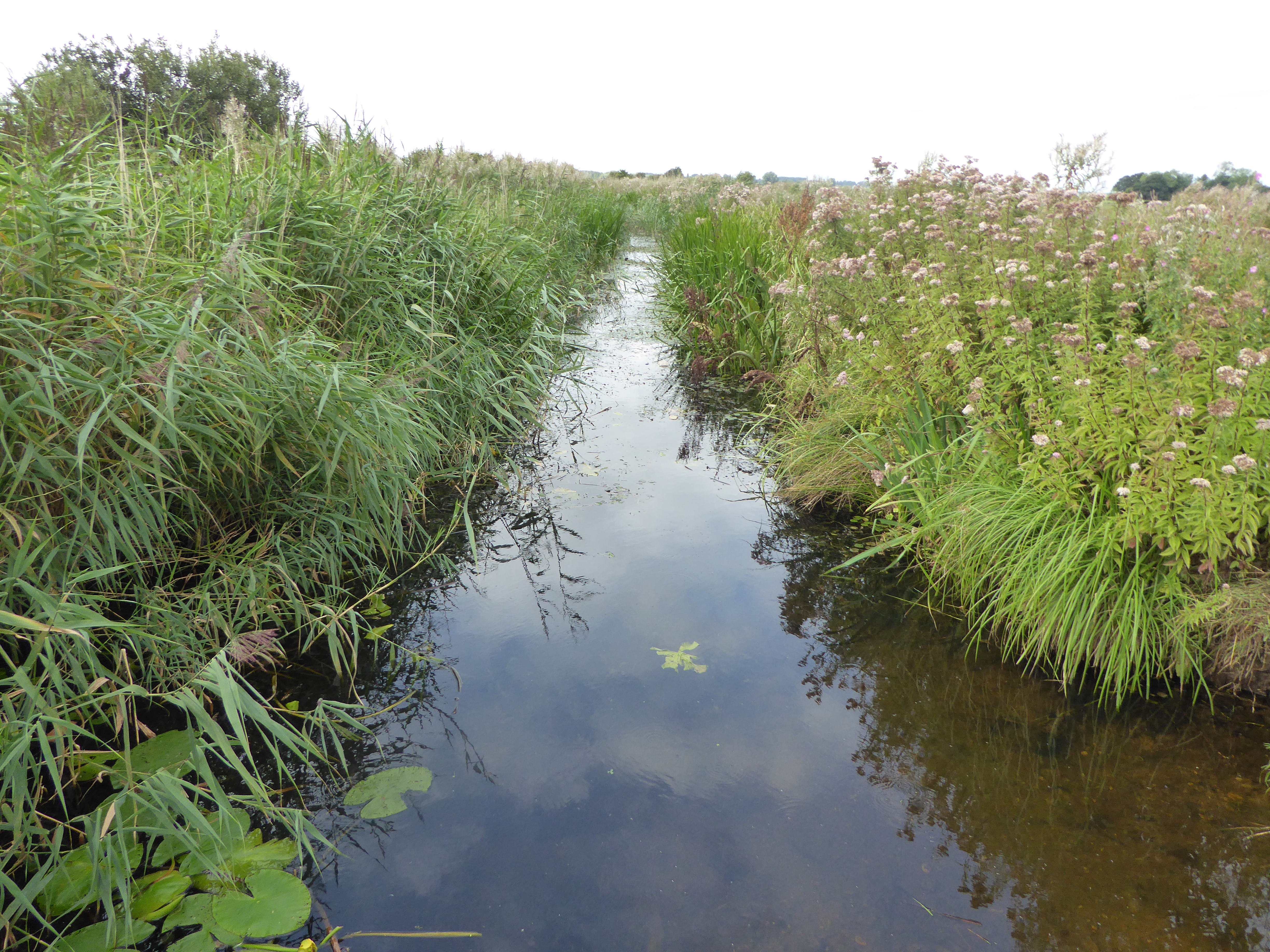
One of the notable features of Ash Carr is the presence of a small stream that meanders through the woodland. This stream adds to the tranquil atmosphere of the area and attracts a range of aquatic plants and animals. Visitors can often spot ducks, frogs, and dragonflies near the water's edge.
The woodland is a popular destination for nature enthusiasts and hikers, offering several well-maintained trails that wind through the trees. These paths provide opportunities for visitors to observe the local flora and fauna, such as wildflowers, squirrels, and various species of birds.
Ash Carr is not only a haven for wildlife but also serves as a valuable carbon sink, contributing to the overall health of the environment. The woodland's proximity to other natural areas, such as meadows and wetlands, enhances its ecological significance and makes it an integral part of the larger forest ecosystem in Norfolk.
If you have any feedback on the listing, please let us know in the comments section below.
Ash Carr Images
Images are sourced within 2km of 52.668831/1.5830617 or Grid Reference TG4213. Thanks to Geograph Open Source API. All images are credited.
Ash Carr is located at Grid Ref: TG4213 (Lat: 52.668831, Lng: 1.5830617)
Administrative County: Norfolk
District: Great Yarmouth
Police Authority: Norfolk
What 3 Words
///keener.crouch.depth. Near Acle, Norfolk
Related Wikis

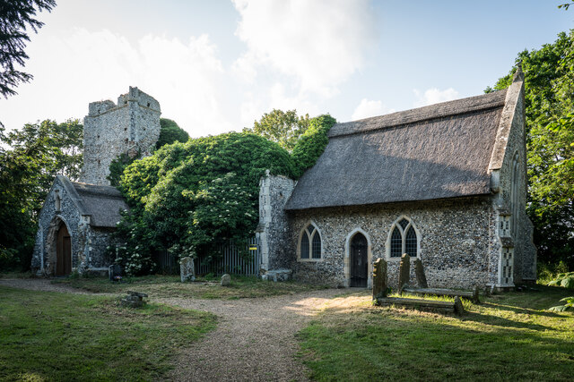
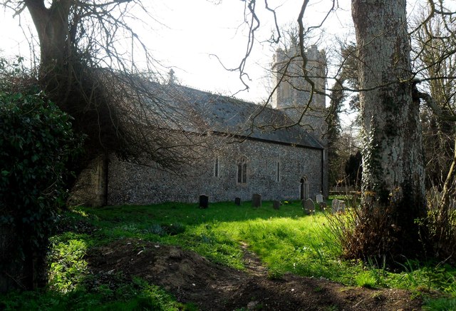
All Saints' Church, Billockby
All Saints' Church is an Anglican church, partly ruined, near the villages of Billockby and Fleggburgh, Norfolk, England. It is a Grade II listed building...
Clippesby
Clippesby is a village and former civil parish, now in the parish of in Fleggburgh, in the Great Yarmouth district, in the county of Norfolk, England....

Ashby with Oby
Ashby with Oby is a civil parish in the English county of Norfolk, which is located some 5 km or 3 miles north of Acle and 15 km or 9 miles north-west...
Burgh Common and Muckfleet Marshes
Burgh Common and Muckfleet Marshes is a 121.5-hectare (300-acre) biological Site of Special Scientific Interest south of Fleggburgh in Norfolk. It is...

Fleggburgh
Burgh St Margaret, also known as Fleggburgh, is a village and civil parish in the English county of Norfolk. The village is located 6 miles (9.7 km) north...

River Thurne
The River Thurne is a river in Norfolk, England in The Broads. Just 7 miles (11 km) long, it rises 2 miles (3.2 km) from the coast near Martham Broad and...
Thurne
Thurne is a small village and civil parish in the English county of Norfolk. It is located on the River Thurne in The Broads, some 18 km (11 mi) west of...

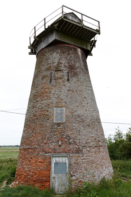
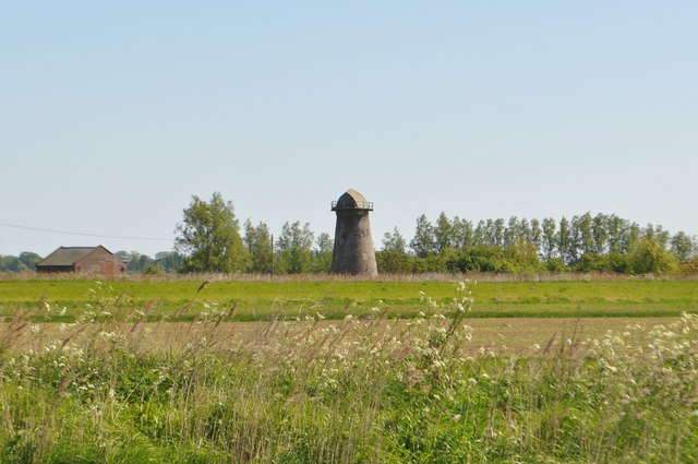
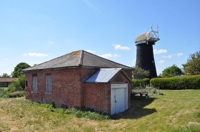
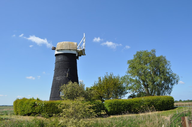
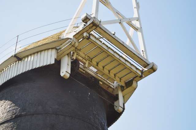
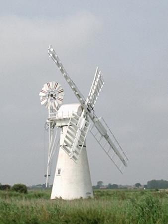
Palmer's Drainage Windmill
Palmer's Drainage Windmill is located to the north of Upton Dyke close to the village of Upton in the English county of Norfolk. Upton Dyke runs westerly...
Nearby Amenities
Located within 500m of 52.668831,1.5830617Have you been to Ash Carr?
Leave your review of Ash Carr below (or comments, questions and feedback).