The Carr
Wood, Forest in Norfolk Broadland
England
The Carr

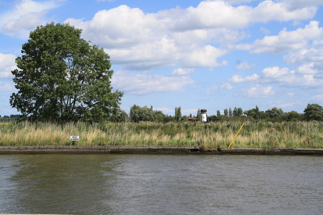
The Carr, Norfolk, also known as Wood or Forest, is a picturesque area located in the county of Norfolk, England. With a rich history and natural beauty, The Carr is a popular destination for tourists and nature enthusiasts alike.
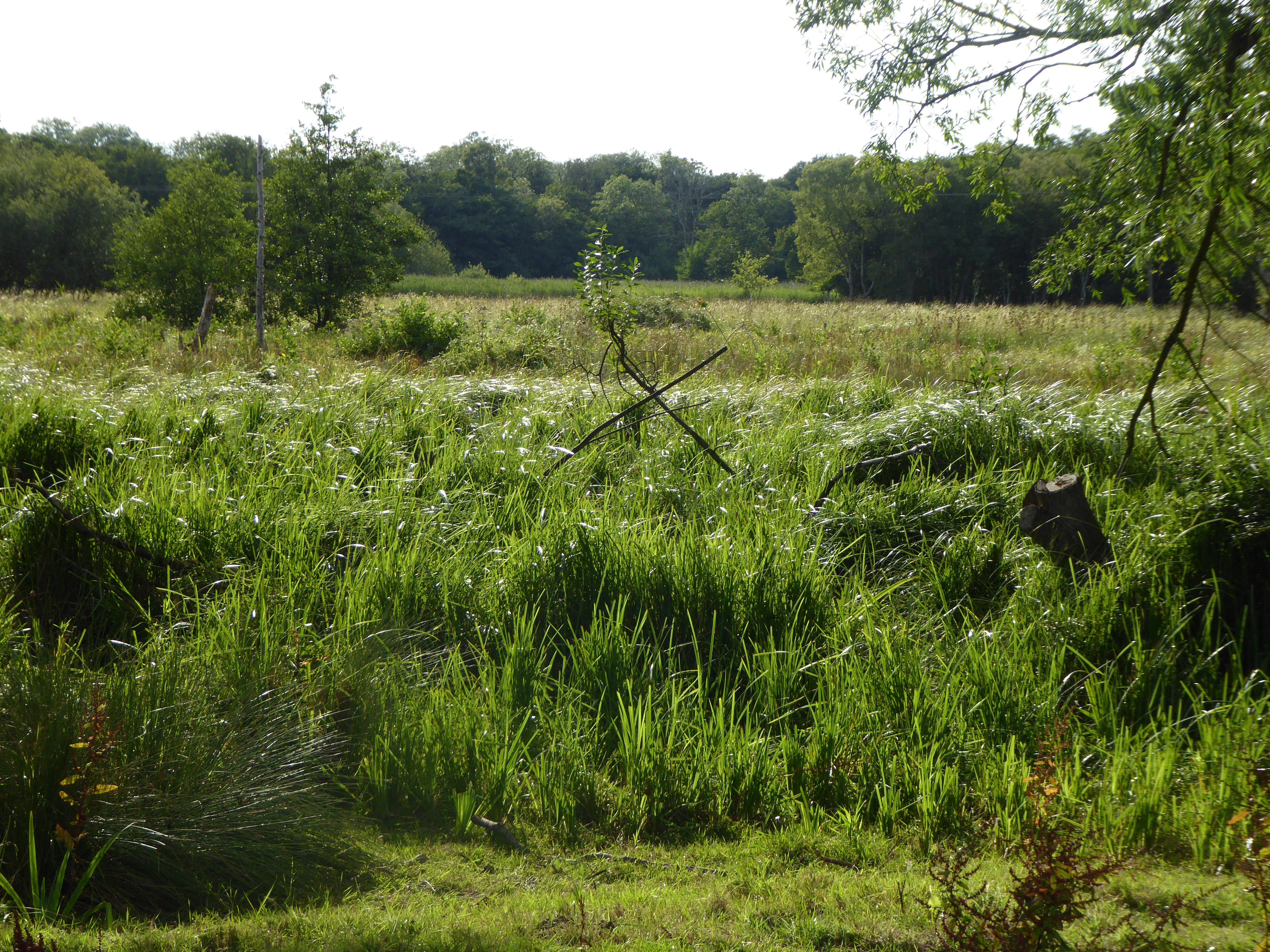
Covering an area of approximately 100 square kilometers, The Carr is characterized by its dense woodlands, sprawling forests, and diverse wildlife. The landscape is predominantly made up of ancient oak and beech trees, creating a stunning canopy overhead. These woodlands are home to a variety of flora and fauna, including rare species such as the Norfolk hawker dragonfly and the silver-studded blue butterfly.
The Carr is crisscrossed by a network of walking trails and footpaths, allowing visitors to explore the area at their own pace. These trails lead to hidden gems such as ancient burial mounds, historic ruins, and tranquil lakes, providing a sense of discovery and adventure.
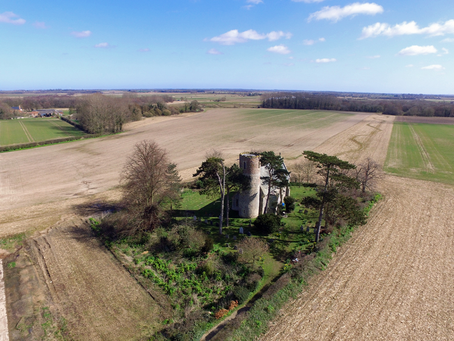
For those interested in history, The Carr offers a glimpse into its past through the remnants of old settlements and medieval structures. The area was once home to small communities of farmers and craftsmen, and evidence of their existence can be found in the form of ancient stone walls and foundations.
The Carr also serves as an important habitat for various bird species, attracting birdwatchers from far and wide. The diverse ecosystem supports a range of birds, including the majestic buzzard, the elusive kingfisher, and the melodious nightingale.
In conclusion, The Carr, Norfolk, is a captivating wood and forest area that offers a unique blend of natural beauty, historical significance, and biodiversity. Whether one is seeking a peaceful retreat, an adventurous hike, or a chance to observe rare wildlife, The Carr is sure to leave a lasting impression.
If you have any feedback on the listing, please let us know in the comments section below.
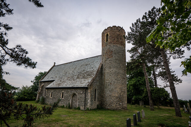
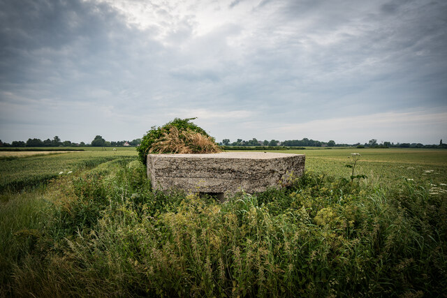
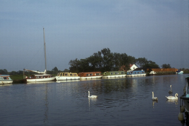
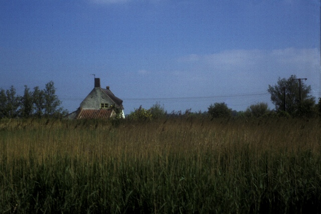
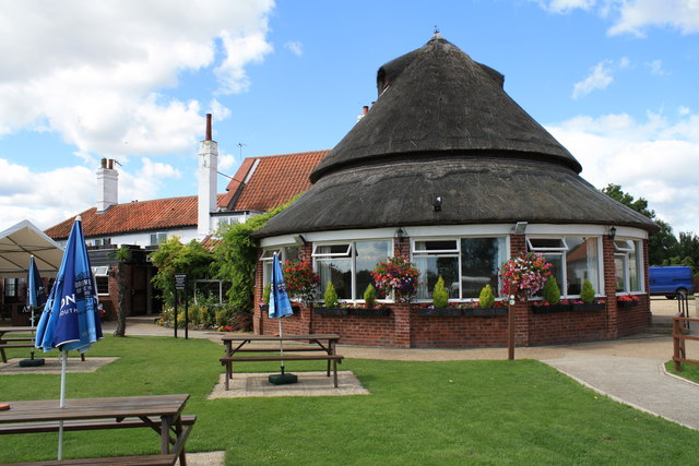
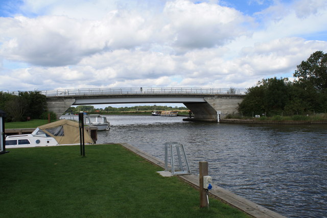
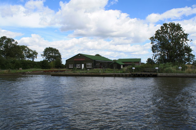
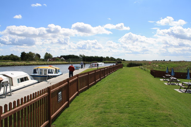
The Carr Images
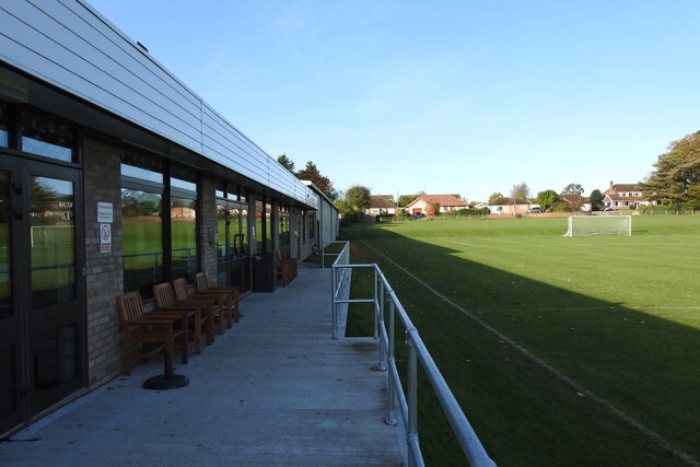
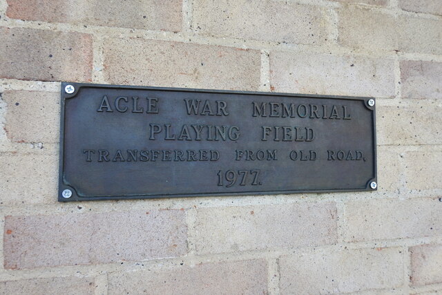
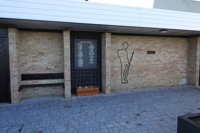
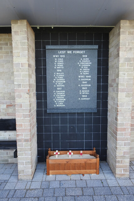
Images are sourced within 2km of 52.636151/1.554575 or Grid Reference TG4010. Thanks to Geograph Open Source API. All images are credited.
The Carr is located at Grid Ref: TG4010 (Lat: 52.636151, Lng: 1.554575)
Administrative County: Norfolk
District: Broadland
Police Authority: Norfolk
What 3 Words
///starch.unlimited.quits. Near Acle, Norfolk
Nearby Locations
Related Wikis
Acle
Acle ( AY-kəl) is a market town on the River Bure on the Norfolk Broads in Norfolk, located halfway between Norwich and Great Yarmouth. It has the only...

Blofield and Flegg Rural District
Blofield and East and West Flegg Rural Districts were adjacent rural districts in Norfolk, England from 1894 to 1935.They were formed under the Local Government...
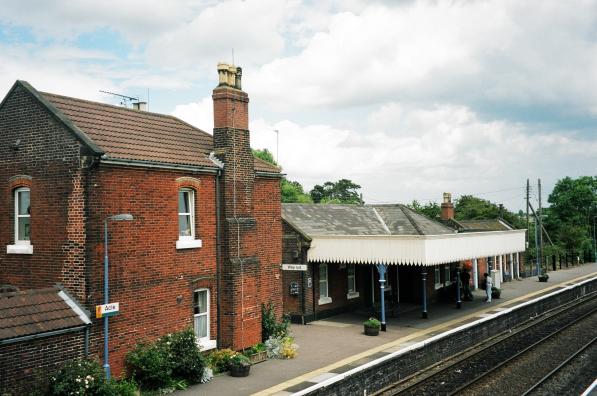
Acle railway station
Acle railway station is on the Wherry Lines in the east of England, serving the town of Acle, Norfolk. It is 10 miles 34 chains (16.8 km) down the line...

Damgate Marshes, Acle
Damgate Marshes, Acle is a 64.7-hectare (160-acre) biological Site of Special Scientific Interest between Norwich and Great Yarmouth in Norfolk. It is...

Acle Academy
The Acle Academy, formerly known as Acle High School, is a secondary school which is located in Acle, Norfolk, England. This is in the centre of the Norfolk...
Decoy Carr, Acle
Decoy Carr, Acle is a 56-hectare (140-acre) biological Site of Special Scientific Interest south of Acle in Norfolk. It is part of the Broadland Ramsar...
Fishley
Fishley is a village in the English county of Norfolk, forming part of the civil parish of Upton with Fishley. The village is located 0.5 miles (0.80 km...
Upton with Fishley
Upton with Fishley is a civil parish in the English county of Norfolk, consisting of the former parishes of Upton and Fishley. It covers an area of 8.93...
Nearby Amenities
Located within 500m of 52.636151,1.554575Have you been to The Carr?
Leave your review of The Carr below (or comments, questions and feedback).