Roman Wood
Wood, Forest in Norfolk Broadland
England
Roman Wood

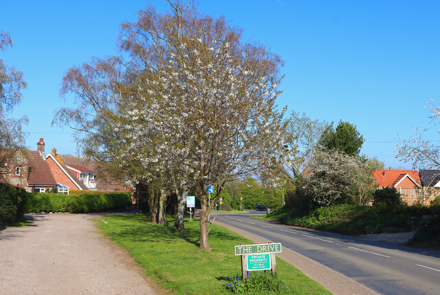
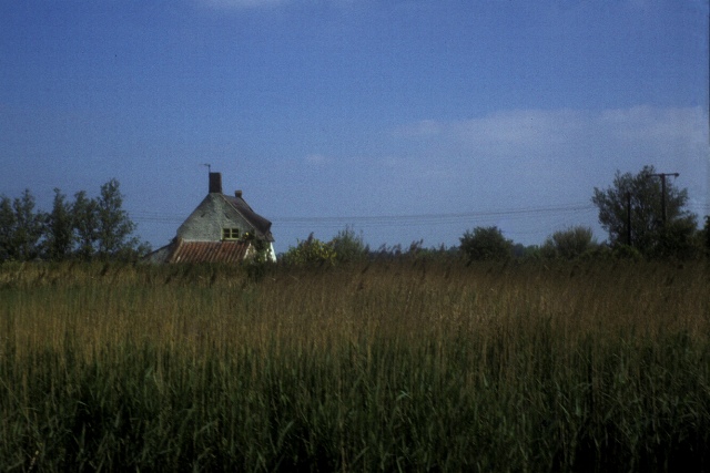
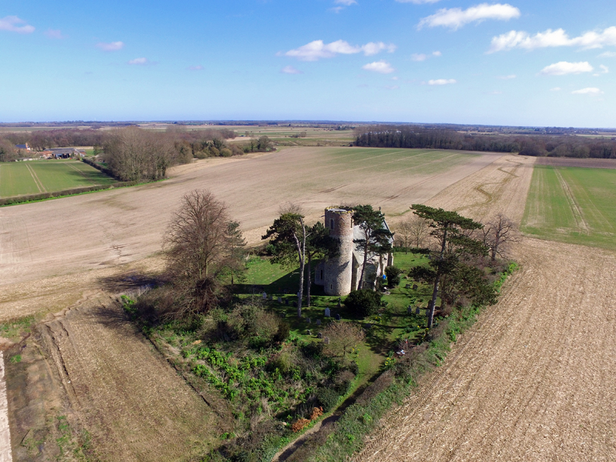
Roman Wood is a small village located in the county of Norfolk, England. Situated within the district of Breckland, it is part of the civil parish of Wood, Forest. The village is nestled within the picturesque Norfolk countryside, surrounded by lush green fields and rolling hills.
Roman Wood is known for its tranquil atmosphere and beautiful natural surroundings. The village is primarily residential, with a small population of close-knit community members who enjoy the peacefulness and charm of rural living. The architecture in Roman Wood is predominantly traditional, with many old cottages and farmhouses adding to the village's character.
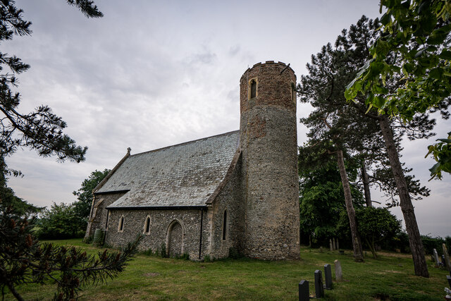
The area is also known for its historical significance. As the name suggests, Roman Wood has ties to the Roman era, and there have been archaeological finds in the vicinity that provide evidence of Roman occupation. These discoveries include pottery fragments, coins, and even some remnants of buildings.
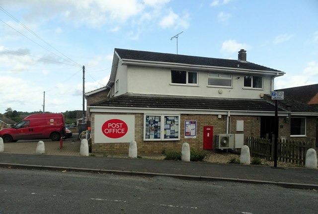
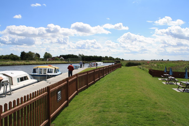
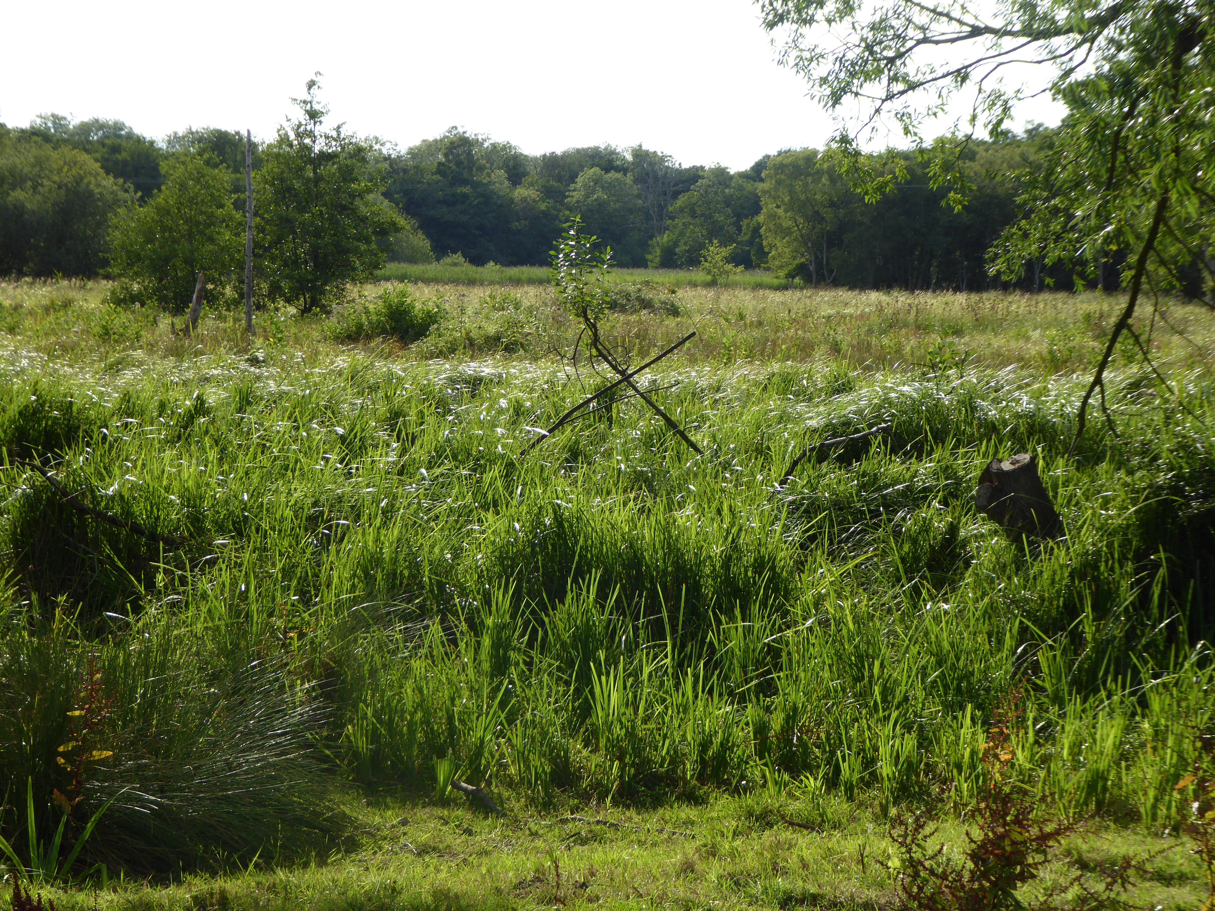
In terms of amenities, Roman Wood has a few local shops and services to cater to the needs of its residents. However, for more extensive shopping and entertainment options, the nearby towns of Thetford and Dereham are easily accessible. The village also benefits from its proximity to Thetford Forest, a vast woodland area that offers recreational activities such as walking, cycling, and wildlife spotting.
Overall, Roman Wood offers a peaceful and idyllic setting for those seeking a rural lifestyle in the beautiful Norfolk countryside. With its historical significance and natural beauty, the village attracts residents and visitors alike who appreciate its charm and tranquility.
If you have any feedback on the listing, please let us know in the comments section below.
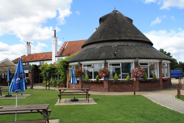
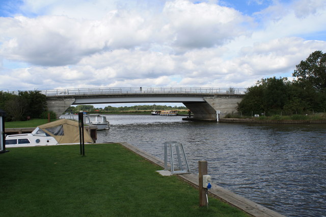
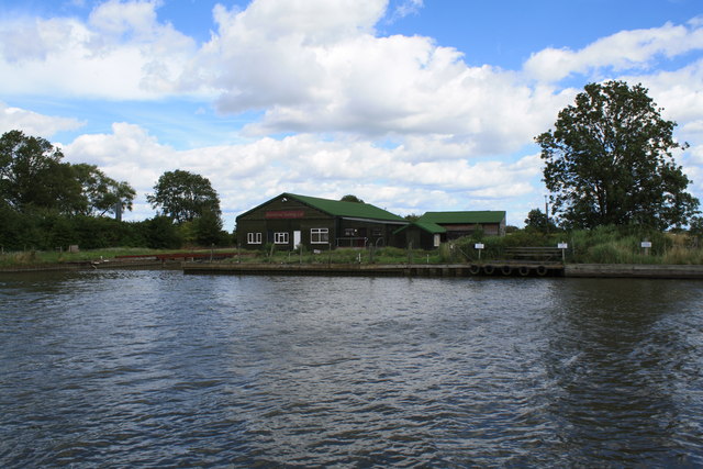
Roman Wood Images
Images are sourced within 2km of 52.639207/1.5564346 or Grid Reference TG4010. Thanks to Geograph Open Source API. All images are credited.


Roman Wood is located at Grid Ref: TG4010 (Lat: 52.639207, Lng: 1.5564346)
Administrative County: Norfolk
District: Broadland
Police Authority: Norfolk
What 3 Words
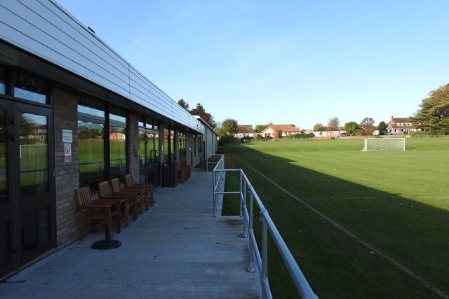
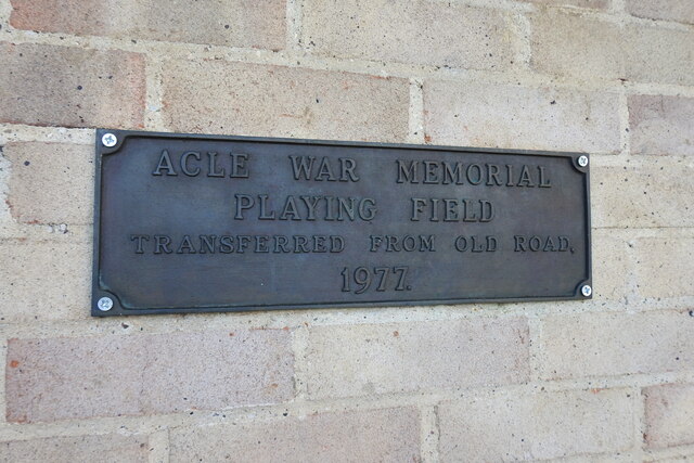
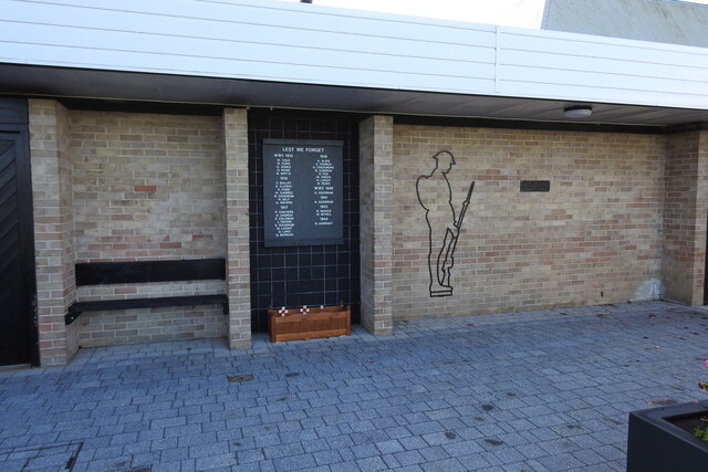
///showcases.superbly.perplexed. Near Acle, Norfolk
Nearby Locations
Related Wikis
Acle
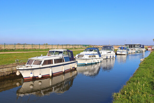
Acle ( AY-kəl) is a market town on the River Bure on the Norfolk Broads in Norfolk, located halfway between Norwich and Great Yarmouth. It has the only...

Damgate Marshes, Acle
Damgate Marshes, Acle is a 64.7-hectare (160-acre) biological Site of Special Scientific Interest between Norwich and Great Yarmouth in Norfolk. It is...
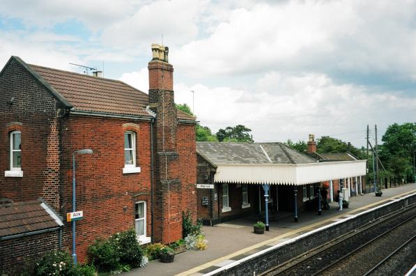
Acle railway station
Acle railway station is on the Wherry Lines in the east of England, serving the town of Acle, Norfolk. It is 10 miles 34 chains (16.8 km) down the line...

Acle Academy
The Acle Academy, formerly known as Acle High School, is a secondary school which is located in Acle, Norfolk, England. This is in the centre of the Norfolk...

Blofield and Flegg Rural District
Blofield and East and West Flegg Rural Districts were adjacent rural districts in Norfolk, England from 1894 to 1935.They were formed under the Local Government...
Fishley
Fishley is a village in the English county of Norfolk, forming part of the civil parish of Upton with Fishley. The village is located 0.5 miles (0.80 km...
Decoy Carr, Acle
Decoy Carr, Acle is a 56-hectare (140-acre) biological Site of Special Scientific Interest south of Acle in Norfolk. It is part of the Broadland Ramsar...
Upton with Fishley
Upton with Fishley is a civil parish in the English county of Norfolk, consisting of the former parishes of Upton and Fishley. It covers an area of 8.93...
Related Videos

Boating Holiday - Day 2
Our first 'Boating Holiday' to the Norfolk Broads. Booked via Richardsons Boating Holidays (Stalham), sailing from June 6th - June ...

Circular Walk From The Bridge Inn Acle #walking #boats #riverside
Hi everyone , Circular Walk From The Bridge Inn Acle #walking #boats #riverside In today's video , I show you the walk that starts ...
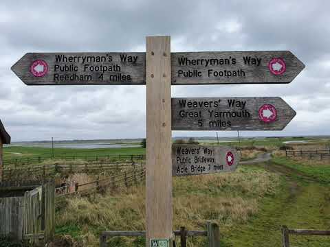
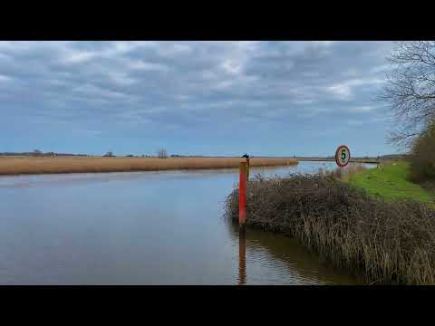
Weaver's Way & Halvergate Marshes
A winter walk out of Great Yarmouth along Weavers Way to Berney Arms and on to the outskirts of Wickhampton. Taking in a ...
Nearby Amenities
Located within 500m of 52.639207,1.5564346Have you been to Roman Wood?
Leave your review of Roman Wood below (or comments, questions and feedback).