Bramfieldhall Wood
Wood, Forest in Suffolk East Suffolk
England
Bramfieldhall Wood
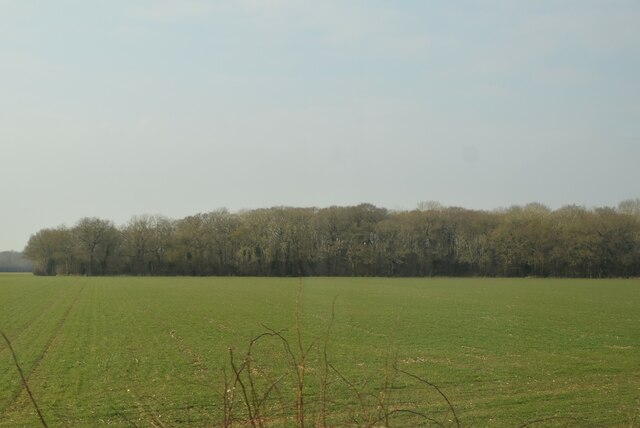
Bramfieldhall Wood, located in Suffolk, England, is a picturesque woodland area known for its natural beauty and tranquil atmosphere. The wood covers an area of approximately 100 acres and is home to a diverse range of flora and fauna.
The wood is predominantly composed of broadleaf trees, with oak, beech, and ash being the most common species. These trees form a dense canopy that provides shade and shelter for the woodland floor, which is covered in a rich carpet of mosses, ferns, and wildflowers. During spring, the forest comes alive with a burst of vibrant colors as bluebells, primroses, and wild garlic bloom.
Bramfieldhall Wood is also home to a variety of wildlife. Visitors may spot deer, foxes, and rabbits as they explore the forest trails. Birdwatchers will be delighted by the presence of numerous bird species, including woodpeckers, owls, and warblers.
The wood offers visitors a range of activities to enjoy. There are well-maintained paths and trails that meander through the forest, allowing visitors to explore the wood at their own pace. Nature enthusiasts can indulge in birdwatching, wildlife spotting, or simply immersing themselves in the tranquil surroundings. Bramfieldhall Wood also has designated picnic areas where visitors can relax and enjoy a meal amidst nature.
Overall, Bramfieldhall Wood is a haven for nature lovers and a perfect escape from the hustle and bustle of everyday life. Its natural beauty, diverse flora and fauna, and peaceful ambiance make it a must-visit destination for anyone seeking solace in the serenity of the Suffolk countryside.
If you have any feedback on the listing, please let us know in the comments section below.
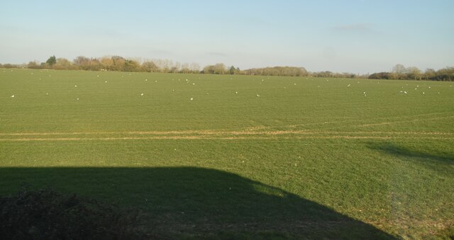
Bramfieldhall Wood Images
Images are sourced within 2km of 52.302776/1.5271565 or Grid Reference TM4073. Thanks to Geograph Open Source API. All images are credited.


Bramfieldhall Wood is located at Grid Ref: TM4073 (Lat: 52.302776, Lng: 1.5271565)
Administrative County: Suffolk
District: East Suffolk
Police Authority: Suffolk
What 3 Words
///drawn.stuff.ropes. Near Halesworth, Suffolk
Nearby Locations
Related Wikis
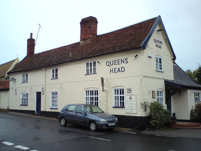
Queen's Head, Bramfield
The Queen's Head is a pub in Bramfield, Suffolk, England. The pub was formerly known as the "Skeltons". It is a Grade II listed building, which dates back...
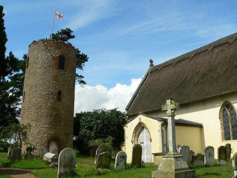
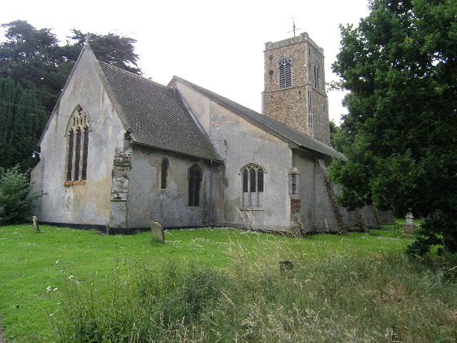
St Andrew's Church, Bramfield
St Andrew's Church is a 13th-century church in Bramfield, Suffolk. It has a separate 12th-century tower standing in the church grounds. It is one of 38...
Bramfield, Suffolk
Bramfield is a village and civil parish in the east of the English county of Suffolk, and in the East Suffolk district. It is 5 miles (8.0 km) south of...
Church Farm Marshes
Church Farm Marshes is a 56 hectare nature reserve in Thorington in Suffolk. It is managed by the Suffolk Wildlife Trust.This site has areas of marshland...
Thorington
Thorington is a village and a civil parish in the hundred of Blything, in the East Suffolk district of the English county of Suffolk. It is located around...

Dew's Ponds
Dew's Ponds is a 6.7-hectare (17-acre) biological Site of Special Scientific Interest (SSSI) south of Halesworth in Suffolk. It is a Special Area of Conservation...
Wenhaston
Wenhaston is a village situated to the south of the River Blyth in northeastern Suffolk, England. In 2018 it had an estimated population of 563. ��2�...
Wenhaston with Mells Hamlet
Wenhaston with Mells Hamlet is a civil parish in the East Suffolk district, in the county of Suffolk, England. The population at the 2011 Census was 801...
Nearby Amenities
Located within 500m of 52.302776,1.5271565Have you been to Bramfieldhall Wood?
Leave your review of Bramfieldhall Wood below (or comments, questions and feedback).