Belt Wood

Wood, Forest in Suffolk East Suffolk

England

Belt Wood

Orford  Castle  12th- century.  Only  the  keep  remains The curtain walls and towers were demolished in the 1590's. By the end of the 17th century the keep was a roofless shell. It passed through further private hands, the 3rd Marquess of Hertford reroofed the castle in 1831. In 1928 it was presented to Orford Town Trust and is now in the care of English Heritage
Orford Castle 12th- century. Only the keep remains Credit: Martin Dawes

Belt Wood is a picturesque forest located in Suffolk, England. Covering an area of approximately 50 acres, it is a popular destination for nature enthusiasts and hikers alike. The wood comprises mainly of broadleaf trees, including oak, ash, birch, and beech, creating a diverse and vibrant ecosystem.

The wood is characterized by its dense canopy, which provides a haven for numerous bird species, such as woodpeckers, owls, and various songbirds. Wildlife is abundant in Belt Wood, with sightings of deer, foxes, rabbits, and squirrels being common. The forest floor is adorned with a rich carpet of wildflowers, adding to its natural beauty.

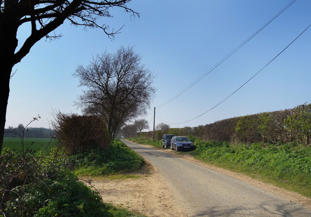
Tranquil pathways wind through the wood, offering visitors the opportunity to explore its enchanting surroundings. These paths are well-maintained, making it accessible to people of all ages and abilities. Along the way, there are strategically placed benches where visitors can rest and soak in the serene ambiance.

Belt Wood is also known for its historical significance. It is believed that the wood has been present for centuries, with some parts dating back to medieval times. The ancient trees bear witness to the passage of time and have witnessed countless generations.

With its stunning natural scenery, abundant wildlife, and historical charm, Belt Wood is a must-visit destination for those seeking a peaceful and rejuvenating experience in the heart of Suffolk. Whether it is a leisurely stroll, birdwatching, or simply enjoying the tranquility of nature, this forest has something to offer for everyone.

If you have any feedback on the listing, please let us know in the comments section below.
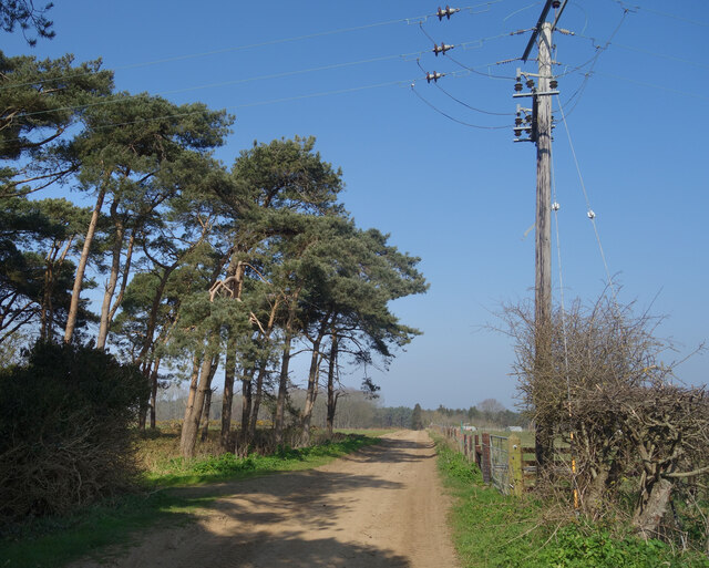
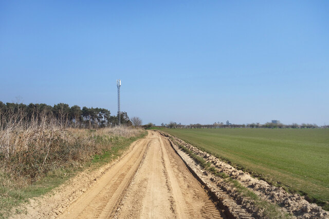
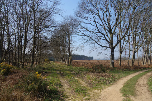
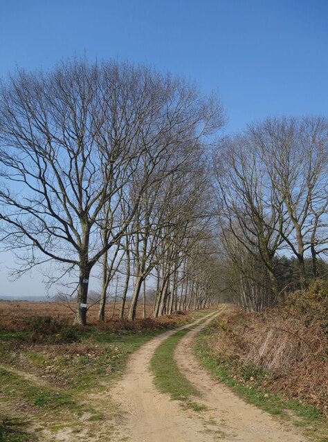
Belt Wood Images

Images are sourced within 2km of 52.103901/1.5110332 or Grid Reference TM4050. Thanks to Geograph Open Source API. All images are credited.

Orford  Castle  12th- century.  Only  the  keep  remains The curtain walls and towers were demolished in the 1590's. By the end of the 17th century the keep was a roofless shell. It passed through further private hands, the 3rd Marquess of Hertford reroofed the castle in 1831. In 1928 it was presented to Orford Town Trust and is now in the care of English Heritage
Orford Castle 12th- century. Only the keep remains
The curtain walls and towers were demolished in the 1590's. By the end of the 17th century the keep was a roofless shell. It passed through further private hands, the 3rd Marquess of Hertford reroofed the castle in 1831. In 1928 it was presented to Orford Town Trust and is now in the care of English Heritage
Orford  Castle  from  the  Outer  Bank
Orford Castle from the Outer Bank
Orford  from  the  top  of  Orford  Castle The parish church of St Bartholomew stands tall
Orford from the top of Orford Castle
The parish church of St Bartholomew stands tall
Row  of  cottages  on  Church  Street  Orford St Bartholomew parish church beyond
Row of cottages on Church Street Orford
St Bartholomew parish church beyond
Orford Castle <span class="nowrap"><a title="https://historicengland.org.uk/listing/the-list/list-entry/1014860?section=official-listing" rel="nofollow ugc noopener" href="https://historicengland.org.uk/listing/the-list/list-entry/1014860?section=official-listing">Link</a><img style="margin-left:2px;" alt="External link" title="External link - shift click to open in new window" src="https://s1.geograph.org.uk/img/external.png" width="10" height="10"/></span>
Orford Castle
Church Street, Orford St Bartholomew's Church at the top of the road leading up from the waterfront.
Church Street, Orford
St Bartholomew's Church at the top of the road leading up from the waterfront.
Orford Craft Centre
Orford Craft Centre
Gedgrave Road A no through road leading to Gedgrave Hall and a few other houses.
The soil is very sandy round here.
Gedgrave Road
A no through road leading to Gedgrave Hall and a few other houses. The soil is very sandy round here.
Track past Pine Trees Away from the marshes by the coast the land is dry and sandy.
Track past Pine Trees
Away from the marshes by the coast the land is dry and sandy.
Flat countryside near Orford A walk through farmland west of the town.
Flat countryside near Orford
A walk through farmland west of the town.
Tracks, Gedgrave Broom A lot of this has been cut down by the look of it.
Tracks, Gedgrave Broom
A lot of this has been cut down by the look of it.
Track to The Broom A road to a premises called The Broom. On the right is Broom Covert, on the left is Gedgrave Broom.
TM4049 is kind of Broomy.
Track to The Broom
A road to a premises called The Broom. On the right is Broom Covert, on the left is Gedgrave Broom. TM4049 is kind of Broomy.
Orford Castle Orford Castle under scaffolding and currently undergoing restoration.
Orford Castle
Orford Castle under scaffolding and currently undergoing restoration.
Orford Castle Orford Castle under scaffolding and currently undergoing restoration.
Orford Castle
Orford Castle under scaffolding and currently undergoing restoration.
Orford Castle under scaffolding Orford Castle under scaffolding and currently undergoing restoration.
Orford Castle under scaffolding
Orford Castle under scaffolding and currently undergoing restoration.
Orford Castle and cannon Orford Castle under scaffolding and currently undergoing restoration.  With the cannon in the foreground this is a similar picture this one from 2016 with the castle in full view <a href="https://www.geograph.org.uk/photo/4857317">TM4149 : Orford Castle Keep & Cannon</a>.
Orford Castle and cannon
Orford Castle under scaffolding and currently undergoing restoration. With the cannon in the foreground this is a similar picture this one from 2016 with the castle in full view TM4149 : Orford Castle Keep & Cannon.
View to the south from Orford Castle  View to the south from Orford Castle when under scaffolding.
View to the south from Orford Castle
View to the south from Orford Castle when under scaffolding.
View from the top of Orford Castle View to the north-west from the top of Orford Castle when it is encased in scaffolding.
View from the top of Orford Castle
View to the north-west from the top of Orford Castle when it is encased in scaffolding.
Show me another place!

Belt Wood is located at Grid Ref: TM4050 (Lat: 52.103901, Lng: 1.5110332)

Administrative County: Suffolk

District: East Suffolk

Police Authority: Suffolk

What 3 Words

///collision.panoramic.alas. Near Rendlesham, Suffolk

Related Wikis

Sudbourne Park Pit

Sudbourne Park Pit is a 1.1-hectare (2.7-acre) geological Site of Special Scientific Interest between Orford and Chillesford in Suffolk. It is a Geological...

Alde–Ore Estuary

Alde–Ore Estuary is a 2,534 hectare biological and geological Site of Special Scientific Interest which stretches along the Suffolk coast between Aldeburgh...
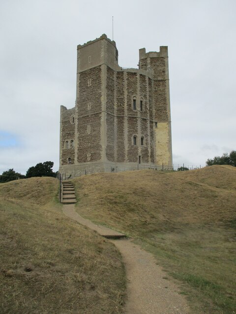
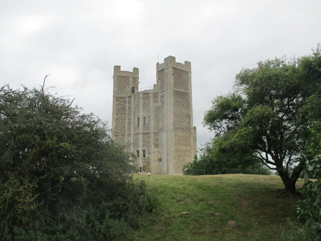
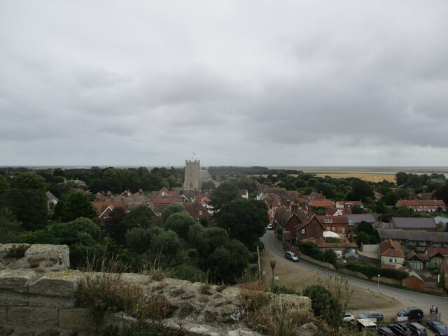
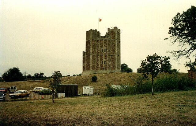
Orford Castle

Orford Castle is a castle in Orford in the English county of Suffolk, 12 miles (19 km) northeast of Ipswich, with views over Orford Ness. It was built...

Richmond Farm Pit, Gedgrave

Richmond Farm Pit, Gedgrave is a 0.57-hectare (1.4-acre) geological Site of Special Scientific Interest south-west of Orford in Suffolk. It is a Geological...
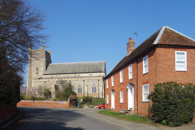
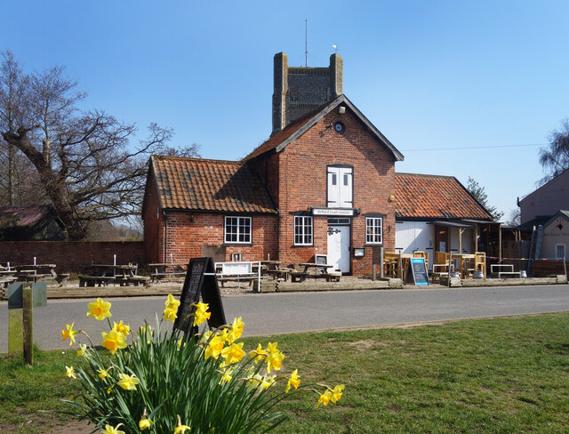
Nearby Amenities

Located within 500m of 52.103901,1.5110332
Parking
Access: private
Lat/Long: 52.1056856/1.5155326
Parking
Access: private
Lat/Long: 52.1060069/1.5130113
Parking
Access: private
Lat/Long: 52.1060464/1.5116246
The data included in this document is from www.openstreetmap.org. The data is made available under ODbL.

Have you been to Belt Wood?

Leave your review of Belt Wood below (or comments, questions and feedback).