Icehouse Plantation
Wood, Forest in Norfolk South Norfolk
England
Icehouse Plantation
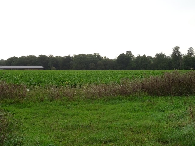
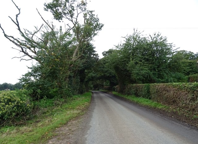
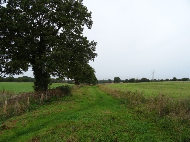
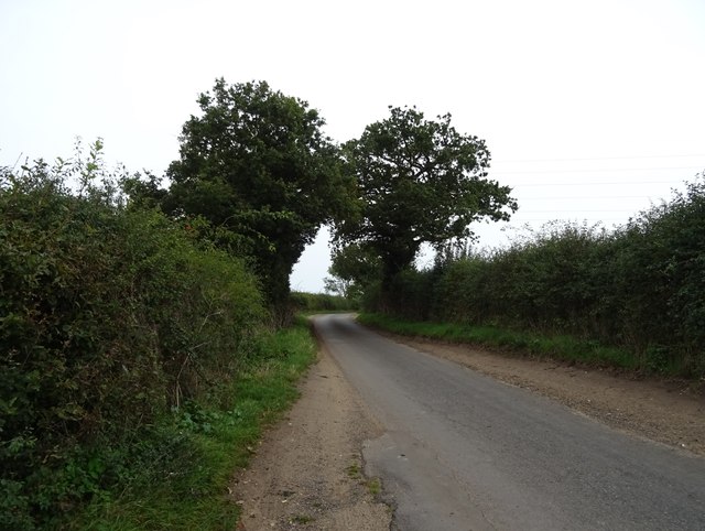
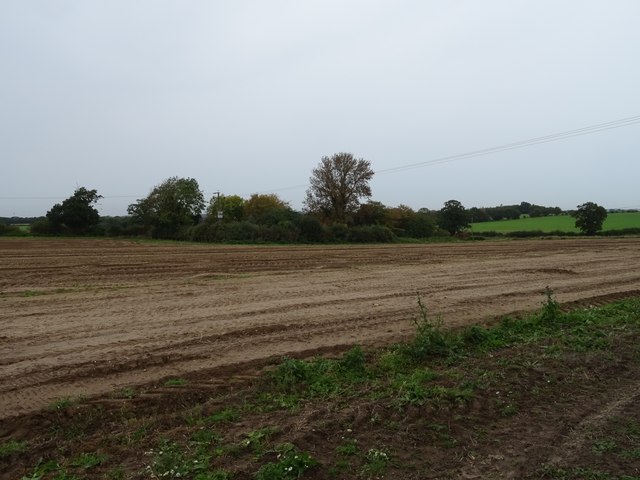
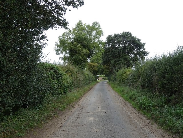
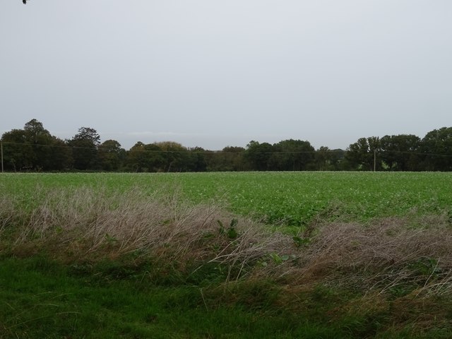
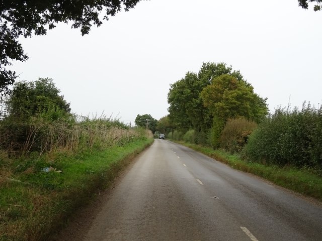
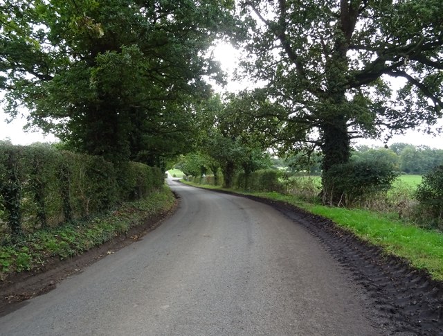
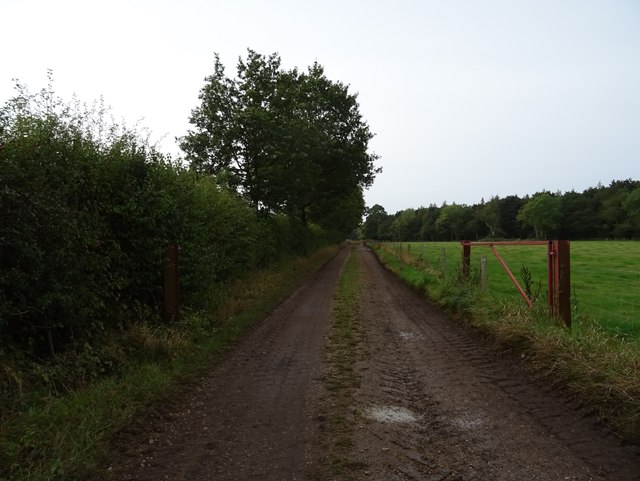
Icehouse Plantation is a historic woodland estate located in Norfolk, England. Situated in a scenic countryside setting, this vast plantation spans over several acres of densely wooded areas, comprising mainly of oak, beech, and pine trees. The plantation is a popular destination for nature enthusiasts and hikers, offering serene walking trails that wind through the picturesque forest.
The origins of Icehouse Plantation can be traced back to the 18th century when it was primarily used as a hunting ground for the local nobility. Over the years, it has undergone several transformations and is now managed by a preservation society dedicated to maintaining its natural beauty and historical significance.
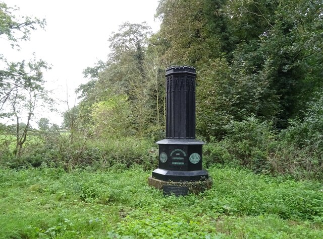
One of the notable features of Icehouse Plantation is its well-preserved icehouse, a structure used in earlier centuries to store ice during the winter months. The ice was harvested from nearby lakes and used to provide refrigeration during the summer. This historical relic serves as a reminder of the estate's past and is a popular attraction for visitors.
The woodland of Icehouse Plantation is home to a diverse range of flora and fauna. It supports a variety of wildlife, including deer, foxes, and numerous bird species. The tranquil environment of the forest also provides a habitat for rare plants and wildflowers, adding to its ecological importance.
Visitors to Icehouse Plantation can enjoy activities such as birdwatching, photography, or simply immersing themselves in the peaceful surroundings. The estate is open to the public year-round, with designated picnic areas and benches for relaxation. Additionally, guided tours and educational programs are offered to provide a deeper understanding of the plantation's history and ecology.
In conclusion, Icehouse Plantation is a cherished natural treasure in Norfolk, offering a tranquil escape into a rich forested landscape. With its historical icehouse, diverse wildlife, and enchanting trails, it is a destination that appeals to both nature lovers and history enthusiasts alike.
If you have any feedback on the listing, please let us know in the comments section below.
Icehouse Plantation Images
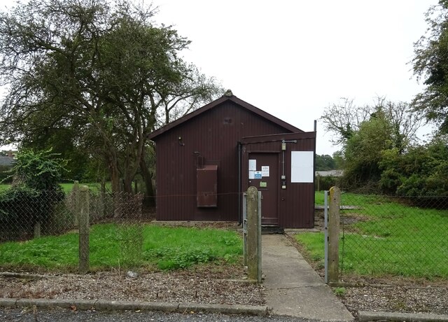
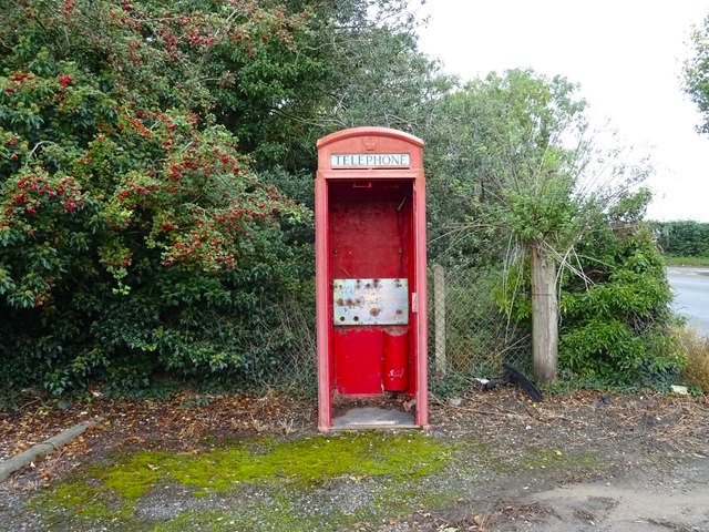
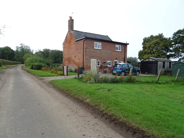
Images are sourced within 2km of 52.515473/1.5314747 or Grid Reference TM3996. Thanks to Geograph Open Source API. All images are credited.
Icehouse Plantation is located at Grid Ref: TM3996 (Lat: 52.515473, Lng: 1.5314747)
Administrative County: Norfolk
District: South Norfolk
Police Authority: Norfolk
What 3 Words
///caressed.artichoke.dynamic. Near Thurlton, Norfolk
Nearby Locations
Related Wikis

Raveningham Hall
Raveningham Hall is a country house in Norfolk, England, about 10 miles (16 km) south-east of Norwich. There are 10 acres of gardens, and it has a rural...

St Andrew's Church, Raveningham
St Andrew's Church is the parish church of Raveningham in Norfolk, England, and in the Diocese of Norwich. It is a round-tower church, dating mostly from...
Raveningham
Raveningham (pronounced "Ran-ing'm") is a small village and parish in the county of Norfolk, England, about 13 miles (21 km) south-east of Norwich. It...

St Margaret's Church, Hales
St Margaret's Church is a redundant Anglican church in the village of Hales, Norfolk, England. It is recorded in the National Heritage List for England...
Nearby Amenities
Located within 500m of 52.515473,1.5314747Have you been to Icehouse Plantation?
Leave your review of Icehouse Plantation below (or comments, questions and feedback).