Rookery Plantation
Wood, Forest in Norfolk South Norfolk
England
Rookery Plantation
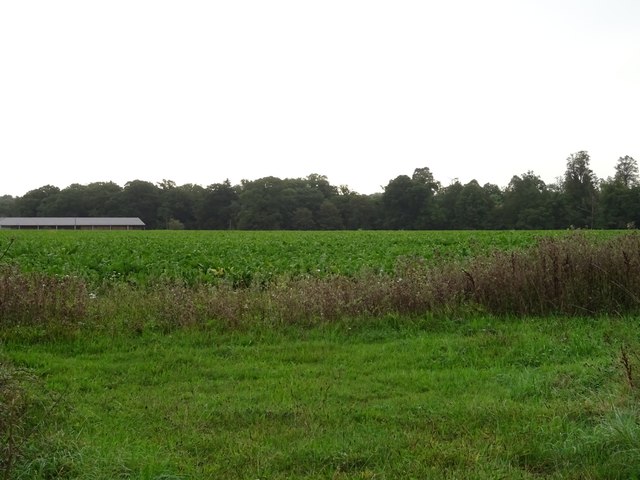
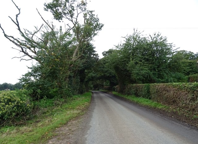
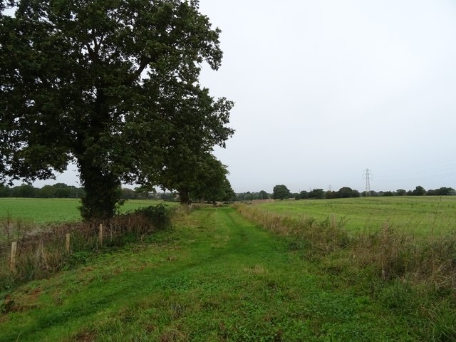
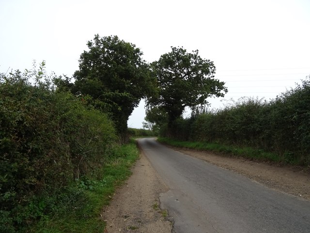
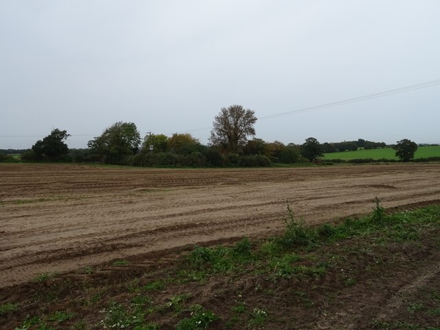
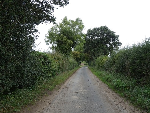
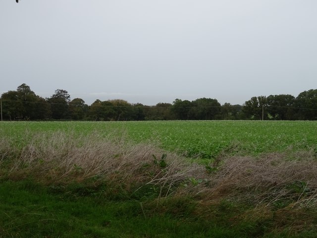
Rookery Plantation is a vast woodland area located in Norfolk, England. Covering an expansive area, it is commonly referred to as a forest due to its dense tree coverage. The plantation is situated in a secluded rural area, offering a tranquil and serene environment for visitors to enjoy.
The woodland is predominantly composed of various species of deciduous and coniferous trees, including oak, beech, birch, and pine. This diverse range of trees creates a rich and vibrant ecosystem, supporting a wide array of flora and fauna. The forest floor is adorned with a carpet of ferns, wildflowers, and moss, adding to the enchanting atmosphere of the plantation.
The Rookery Plantation is a haven for wildlife enthusiasts and nature lovers. It is home to numerous species of birds, such as woodpeckers, owls, and songbirds, making it a popular spot for birdwatching. The forest also provides habitat for mammals like deer, foxes, and rabbits, offering opportunities for wildlife observation and photography.
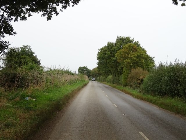
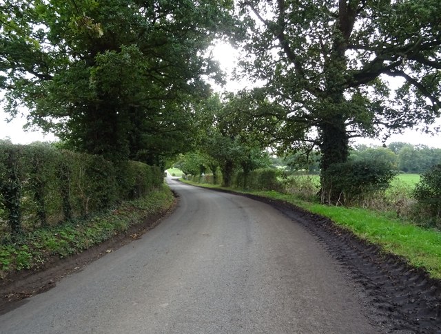
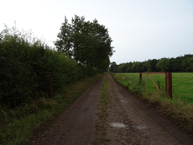
Visitors can explore the plantation through a network of well-maintained footpaths and trails that wind their way through the forest. These paths offer breathtaking views of the woodland and lead to tranquil spots, perfect for picnics or simply immersing oneself in the beauty of nature.
Rookery Plantation is a true gem of Norfolk, attracting visitors from near and far with its natural beauty and peaceful ambiance. Whether it be for a leisurely walk, birdwatching, or simply escaping the hustle and bustle of everyday life, this enchanting forest provides a welcome respite for all who venture into its depths.
If you have any feedback on the listing, please let us know in the comments section below.
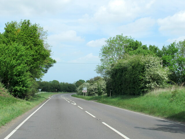
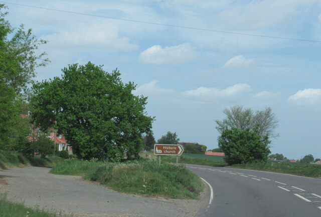
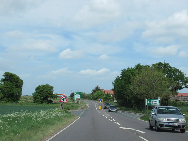
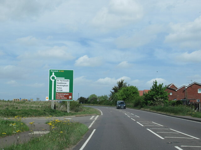
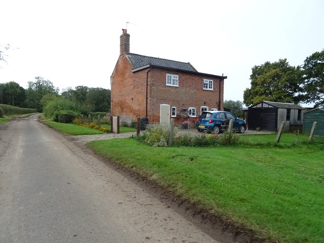
Rookery Plantation Images
Images are sourced within 2km of 52.516629/1.5235027 or Grid Reference TM3996. Thanks to Geograph Open Source API. All images are credited.
Rookery Plantation is located at Grid Ref: TM3996 (Lat: 52.516629, Lng: 1.5235027)
Administrative County: Norfolk
District: South Norfolk
Police Authority: Norfolk
What 3 Words
///unpacked.complain.went. Near Thurlton, Norfolk
Nearby Locations
Related Wikis

Raveningham
Raveningham (pronounced "Ran-ing'm") is a small village and parish in the county of Norfolk, England, about 13 miles (21 km) south-east of Norwich. It...
St Andrew's Church, Raveningham
St Andrew's Church is the parish church of Raveningham in Norfolk, England, and in the Diocese of Norwich. It is a round-tower church, dating mostly from...

Raveningham Hall
Raveningham Hall is a country house in Norfolk, England, about 10 miles (16 km) south-east of Norwich. There are 10 acres of gardens, and it has a rural...

St Margaret's Church, Hales
St Margaret's Church is a redundant Anglican church in the village of Hales, Norfolk, England. It is recorded in the National Heritage List for England...
Nearby Amenities
Located within 500m of 52.516629,1.5235027Have you been to Rookery Plantation?
Leave your review of Rookery Plantation below (or comments, questions and feedback).