Barber's Plantation
Wood, Forest in Norfolk South Norfolk
England
Barber's Plantation
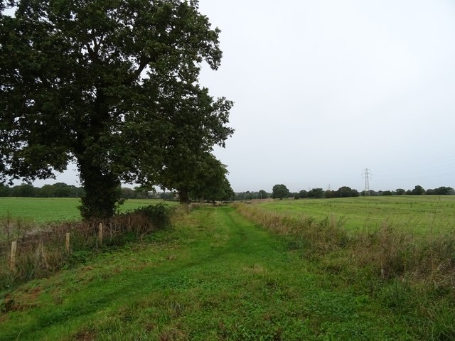
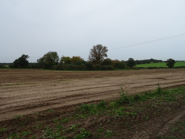
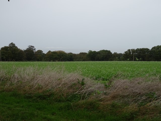
Barber's Plantation, located in Norfolk, England, is a picturesque woodland area known for its natural beauty and rich history. Spanning over several acres, this enchanting forest is a popular destination for nature lovers and history enthusiasts alike.
The plantation is named after the Barber family, who were prominent landowners in the 18th century. The area has been meticulously preserved and is now a designated conservation site, ensuring the protection of the diverse flora and fauna found within its boundaries.
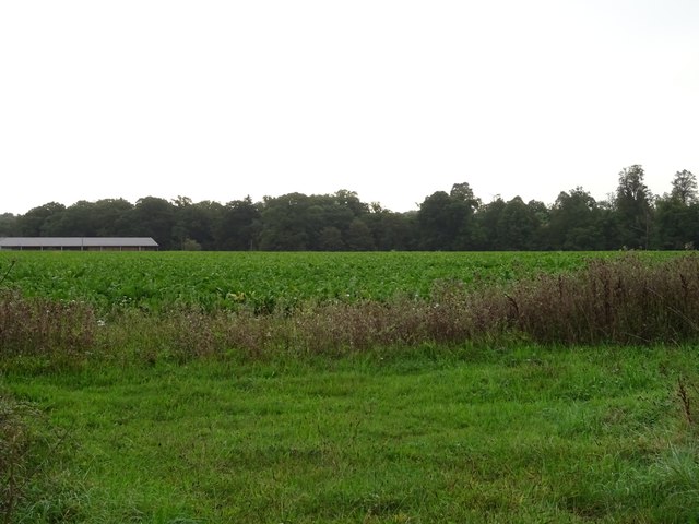
Visitors to Barber's Plantation are greeted by a dense canopy of trees, including oak, beech, and birch. The forest floor is covered with a lush carpet of ferns, moss, and wildflowers, creating a tranquil and serene atmosphere. The plantation is home to a variety of wildlife, including deer, squirrels, and a wide array of bird species.
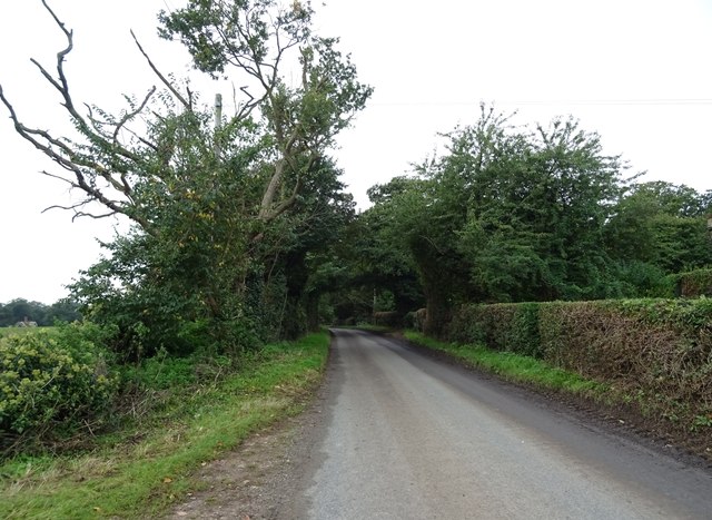
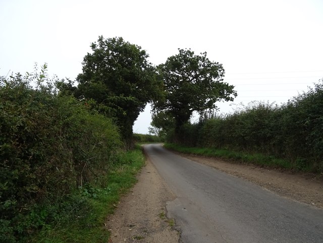
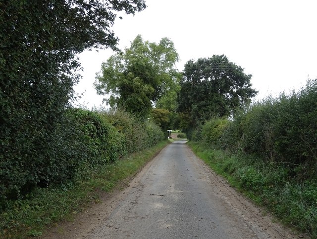
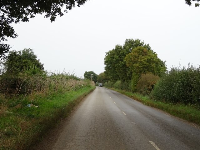
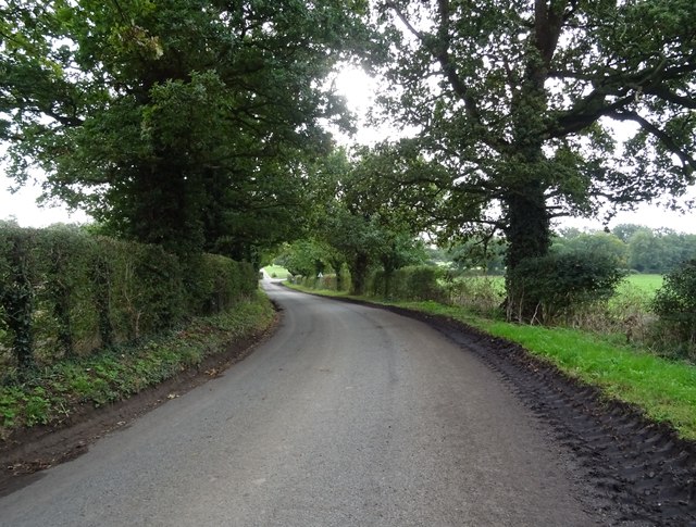
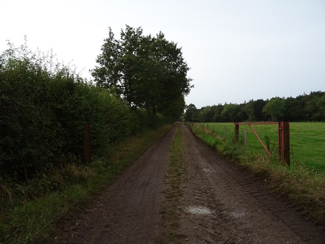
Traversing the woodland, visitors can explore a network of well-maintained footpaths and trails, allowing for leisurely walks and hikes through the plantation. Interpretive signs are strategically placed along these paths, providing information about the plantation's history, ecology, and conservation efforts.
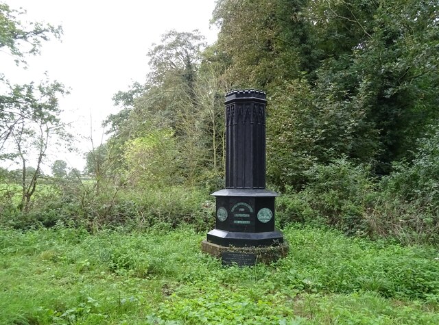
In addition to its natural beauty, Barber's Plantation offers a glimpse into the past. The site features the remains of an old sawmill, which operated during the industrial revolution, as well as the foundations of a long-abandoned manor house. These remnants serve as a reminder of the area's rich industrial and agricultural heritage.
Overall, Barber's Plantation in Norfolk is a captivating destination that seamlessly blends natural beauty with historical significance. It offers a sanctuary for those seeking a peaceful retreat and an opportunity to appreciate the wonders of nature while immersing themselves in the region's fascinating past.
If you have any feedback on the listing, please let us know in the comments section below.
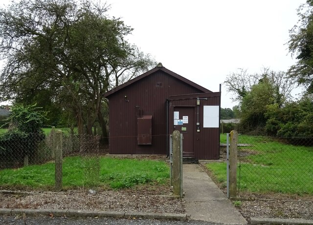
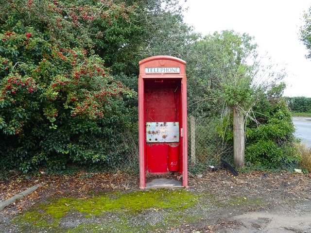
Barber's Plantation Images
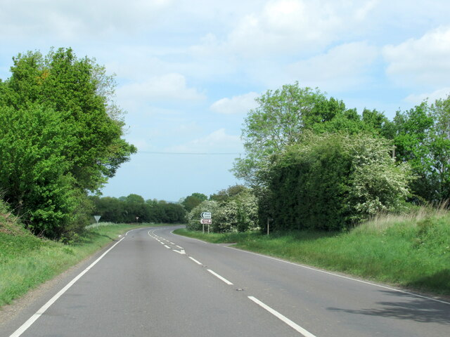
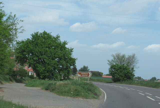
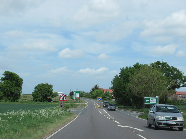
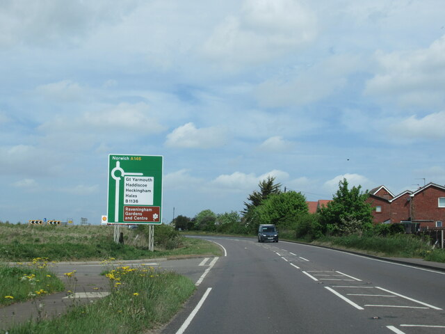
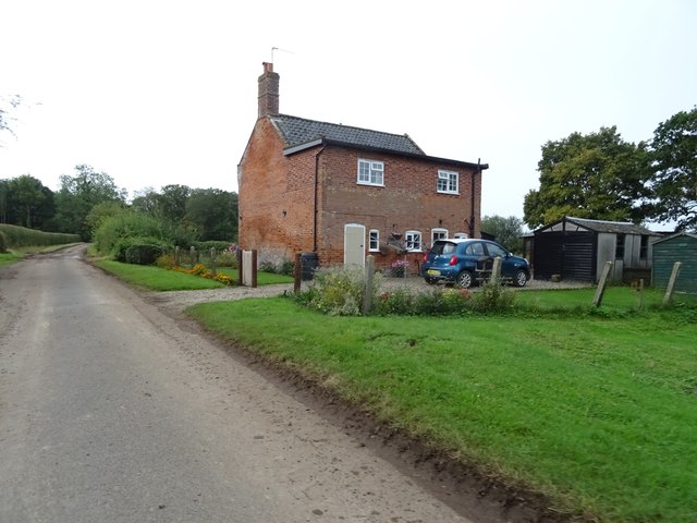
Images are sourced within 2km of 52.514863/1.5235972 or Grid Reference TM3996. Thanks to Geograph Open Source API. All images are credited.
Barber's Plantation is located at Grid Ref: TM3996 (Lat: 52.514863, Lng: 1.5235972)
Administrative County: Norfolk
District: South Norfolk
Police Authority: Norfolk
What 3 Words
///chose.videos.twin. Near Thurlton, Norfolk
Nearby Locations
Related Wikis

St Andrew's Church, Raveningham
St Andrew's Church is the parish church of Raveningham in Norfolk, England, and in the Diocese of Norwich. It is a round-tower church, dating mostly from...

Raveningham Hall
Raveningham Hall is a country house in Norfolk, England, about 10 miles (16 km) south-east of Norwich. There are 10 acres of gardens, and it has a rural...
Raveningham
Raveningham (pronounced "Ran-ing'm") is a small village and parish in the county of Norfolk, England, about 13 miles (21 km) south-east of Norwich. It...

St Margaret's Church, Hales
St Margaret's Church is a redundant Anglican church in the village of Hales, Norfolk, England. It is recorded in the National Heritage List for England...
Nearby Amenities
Located within 500m of 52.514863,1.5235972Have you been to Barber's Plantation?
Leave your review of Barber's Plantation below (or comments, questions and feedback).