Bush Covert
Wood, Forest in Suffolk East Suffolk
England
Bush Covert
Bush Covert is a charming woodland located in Suffolk, England. Situated in the heart of the county, this forested area is a popular destination for nature enthusiasts and those seeking tranquility amidst nature's beauty. With an approximate land area of 200 acres, Bush Covert encompasses a diverse range of habitats, including ancient woodland, heathland, and open meadows.
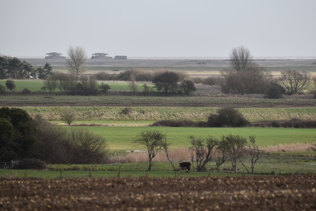
The woodland of Bush Covert is predominantly made up of native tree species such as oak, birch, and beech, creating a rich and vibrant ecosystem. This natural haven provides a sanctuary for numerous wildlife species, including deer, foxes, badgers, and a variety of bird species. Birdwatchers will especially appreciate the opportunity to spot rare and migratory birds within the forest.
Visitors to Bush Covert can explore the area through a network of well-maintained walking trails. These paths wind their way through the forest, allowing visitors to immerse themselves in the peaceful surroundings and to appreciate the stunning natural scenery. Along the trails, there are several viewpoints and picnic spots where visitors can rest and take in the beauty of the woodland.
In addition to its natural wonders, Bush Covert offers a range of recreational activities. The forest is home to a well-equipped visitor center, which provides information about the local flora and fauna, as well as maps and guides for exploring the area. The center also hosts educational events and workshops, aimed at promoting environmental awareness and conservation.
Overall, Bush Covert is a haven for nature lovers, offering a unique opportunity to reconnect with the natural world. With its diverse habitats, abundant wildlife, and picturesque trails, this Suffolk woodland is a must-visit destination for anyone seeking a peaceful retreat in the heart of nature.
If you have any feedback on the listing, please let us know in the comments section below.
Bush Covert Images
Images are sourced within 2km of 52.089531/1.4851829 or Grid Reference TM3849. Thanks to Geograph Open Source API. All images are credited.


Bush Covert is located at Grid Ref: TM3849 (Lat: 52.089531, Lng: 1.4851829)
Administrative County: Suffolk
District: East Suffolk
Police Authority: Suffolk
What 3 Words
///liability.repair.orbited. Near Rendlesham, Suffolk
Nearby Locations
Related Wikis

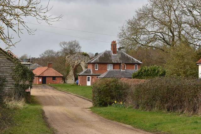
Butley Priory
Butley Priory, sometimes called Butley Abbey, was a religious house of Canons regular (Augustinians, Black canons) in Butley, Suffolk, dedicated to The...

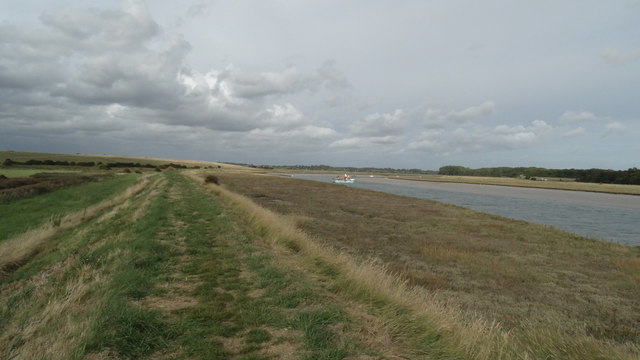
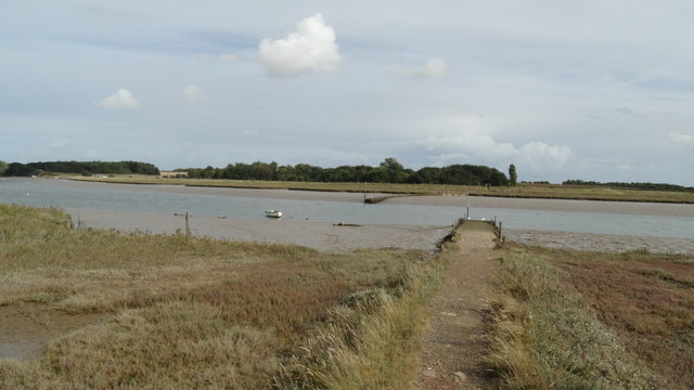
Alde–Ore Estuary
Alde–Ore Estuary is a 2,534 hectare biological and geological Site of Special Scientific Interest which stretches along the Suffolk coast between Aldeburgh...

Gedgrave Hall Pit
Gedgrave Hall Pit is a 0.65-hectare (1.6-acre) geological Site of Special Scientific Interest in Gedgrave, south of Saxmundham in Suffolk. It is a Geological...

Gedgrave
Gedgrave is a civil parish in the East Suffolk district, in the English county of Suffolk in eastern England. In 2005 its population was 30. Gedgrave once...

Boyton, Suffolk
Boyton is a village and civil parish in the East Suffolk district of Suffolk, England, about eight miles east of Woodbridge, and close to Orford Ness....

Richmond Farm Pit, Gedgrave
Richmond Farm Pit, Gedgrave is a 0.57-hectare (1.4-acre) geological Site of Special Scientific Interest south-west of Orford in Suffolk. It is a Geological...

Capel St Andrew
Capel St Andrew is a village and a civil parish in the East Suffolk district, in the county of Suffolk, England. It is near the larger settlement of Orford...

Butley River
The Butley River or Butley Creek is a tributary of the River Ore in the English county of Suffolk. The river has its source in the Rendlesham Forest area...
Nearby Amenities
Located within 500m of 52.089531,1.4851829Have you been to Bush Covert?
Leave your review of Bush Covert below (or comments, questions and feedback).