Deal Covert

Wood, Forest in Suffolk East Suffolk

England

Deal Covert

Boyton: view down to The Tang, from the Dock Farm corner
Boyton: view down to The Tang, from the Dock Farm corner Credit: Christopher Hilton

Deal Covert is a woodland located in Suffolk, England. Situated in the rural village of Deal, it covers a vast area of approximately 200 acres, making it one of the largest woodlands in the region. The covert is predominantly composed of dense forest, with a variety of tree species including oak, beech, and birch, creating a diverse and vibrant ecosystem.

The woodland is known for its natural beauty and tranquility, attracting nature enthusiasts, hikers, and photographers alike. The forest floor is adorned with a rich carpet of mosses, ferns, and wildflowers, providing a picturesque setting for visitors to explore and enjoy. The area is also home to a wide array of wildlife, including deer, foxes, badgers, and a plethora of bird species.

Deal Covert offers several marked trails and footpaths, allowing visitors to navigate through its enchanting scenery. These paths provide an opportunity to observe the local flora and fauna while immersing oneself in the peaceful ambiance of the woodland. The forest also features a small river that flows through its heart, enhancing the natural beauty and creating additional habitats for aquatic life.

In addition to its recreational value, Deal Covert also serves as an important conservation area. The woodland is carefully managed to preserve its ecological balance, with efforts focused on sustainable practices such as selective tree felling and the creation of wildlife habitats. The management team conducts regular surveys to monitor the health of the woodland and ensure the conservation of its diverse ecosystem.

Overall, Deal Covert is a cherished natural treasure in Suffolk, offering a serene escape into the heart of nature, with its ancient trees, diverse wildlife, and picturesque trails, making it a must-visit destination for nature lovers and outdoor enthusiasts.

If you have any feedback on the listing, please let us know in the comments section below.
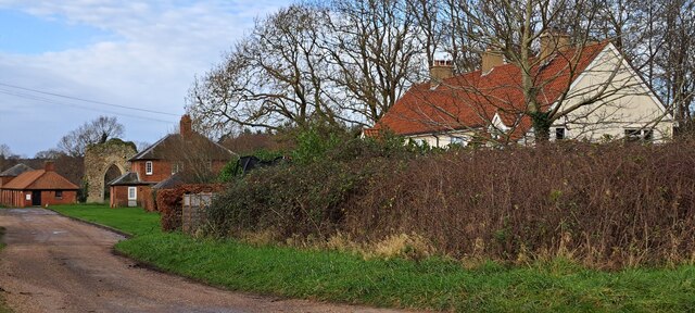
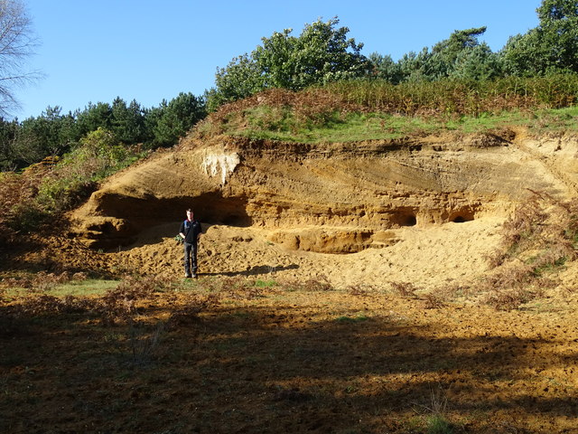
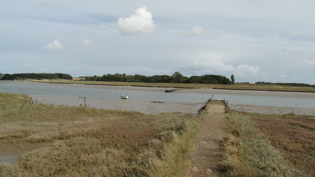
Deal Covert Images

Images are sourced within 2km of 52.093249/1.4704464 or Grid Reference TM3749. Thanks to Geograph Open Source API. All images are credited.

Boyton: view down to The Tang, from the Dock Farm corner
Capel St. Andrew: field near Stone Bridge
Lane into Butley Abbey, with the remains of the former Priory gatehouse
Boyton: view north from the corner at Dock Farm Beyond the field in the foreground are Stonebridge Marshes, with the higher ground at Butley beyond this.
Boyton: view north from the corner at Dock Farm
Beyond the field in the foreground are Stonebridge Marshes, with the higher ground at Butley beyond this.
Boyton: lane north past Dock Farm
Butley River, at Butley Ferry
Red Crag Formation A series of Pliocene to Pleistocene deposits representing a tidal dune system with herringbone cross stratification and lenticular bedding. There are also several rhythmite beds depicting storm surges.
Red Crag Formation
A series of Pliocene to Pleistocene deposits representing a tidal dune system with herringbone cross stratification and lenticular bedding. There are also several rhythmite beds depicting storm surges.
On the Suffolk Coast Path - western jetty at Butley Ferry on Butley River
The Tang valley near Dock Farm
Wet fields above Dock Farm
Brick barns at Home Farm
Home Farm, Capel St. Andrew
Pasture on the edge of Capel Green Looking north from the lane between Capel St. Andrew and Capel Green.
Pasture on the edge of Capel Green
Looking north from the lane between Capel St. Andrew and Capel Green.
Fallow field near Capel Green
Fallow field on the southern edge of Oak Wood
Driveway to Butley Priory Butley Priory was built in the early 18th Century around the gateway of Butley Abbey, an 12th Century Augustinian monastery that was dissolved in 1538.
Driveway to Butley Priory
Butley Priory was built in the early 18th Century around the gateway of Butley Abbey, an 12th Century Augustinian monastery that was dissolved in 1538.
Show me another place!

Deal Covert is located at Grid Ref: TM3749 (Lat: 52.093249, Lng: 1.4704464)

Administrative County: Suffolk

District: East Suffolk

Police Authority: Suffolk

What 3 Words

///ribcage.motored.comical. Near Rendlesham, Suffolk

Related Wikis

Butley Priory

Butley Priory, sometimes called Butley Abbey, was a religious house of Canons regular (Augustinians, Black canons) in Butley, Suffolk, dedicated to The...

Rendlesham Forest incident

The Rendlesham Forest incident was a series of reported sightings of unexplained lights near Rendlesham Forest in Suffolk, England, in December 1980, which...

Neutral Farm Pit, Butley

Neutral Farm Pit, Butley is a 1.1-hectare (2.7-acre) geological Site of Special Scientific Interest in Butley, east of Woodbridge in Suffolk. It is a Geological...

Butley, Suffolk

Butley is a village and civil parish in the English county of Suffolk. Butley lies 7+1⁄2 miles (12 km) east of the town of Woodbridge on the B1084 (Orford...

Nearby Amenities

Located within 500m of 52.093249,1.4704464
Abbey Corner
Naptan AtcoCode: 390060501
Naptan Bearing: N
Naptan BusStopType: CUS
Naptan CommonName: Abbey Corner
Naptan Indicator: adj
Naptan Landmark: Abbey Corner
Naptan NaptanCode: sufgptwp
Naptan Street: Church Road
Naptan Verified: no
Source: naptan_import
Lat/Long: 52.0898791/1.467667
Abbey Corner
Naptan AtcoCode: 390060502
Naptan Bearing: E
Naptan BusStopType: CUS
Naptan CommonName: Abbey Corner
Naptan Indicator: opp
Naptan Landmark: Abbey Corner
Naptan NaptanCode: sufgptwt
Naptan Street: Church Road
Naptan Verified: no
Source: naptan_import
Lat/Long: 52.0899274/1.4678606
Butley High Corner
Nat Gaz Id: E0025117
Place: hamlet
Lat/Long: 52.0905493/1.4744629
Butley Low Corner
Nat Gaz Id: E0025118
Place: hamlet
Lat/Long: 52.094115/1.4731111
Butley Abbey
Nat Gaz Id: E0025116
Place: hamlet
Lat/Long: 52.089745/1.4676625
Post Box
Collection Times: Mo-Fr 09:00; Sa 09:00
Post Box Type: wall
Ref: IP12 6241
Royal Cypher: EIIR
Royal Cypher Wikidata: Q33102113
Lat/Long: 52.0899435/1.4732125
Building: yes
Lat/Long: 52.0911857/1.4752381
Turning Circle
Lat/Long: 52.0914157/1.4648603
House Covert
Place: locality
Lat/Long: 52.0913861/1.4671898
Parking
Lat/Long: 52.0942814/1.4728063
Parking
Access: private
Lat/Long: 52.094494/1.4743178
Parking
Access: private
Lat/Long: 52.0904031/1.4735895
Parking
Access: private
Lat/Long: 52.0949818/1.4720607
Parking
Access: private
Lat/Long: 52.0899317/1.4667258
Butley Abbey and Priory Gatehouse
Place: locality
Lat/Long: 52.0915146/1.4652747
Power: pole
Lat/Long: 52.0913597/1.4760089
Power: pole
Lat/Long: 52.0915146/1.4758748
Power: pole
Lat/Long: 52.0922232/1.4753383
Power: pole
Lat/Long: 52.093067/1.4746892
Power: pole
Lat/Long: 52.0941809/1.4738309
Power: pole
Lat/Long: 52.0948977/1.4730075
Power: pole
Lat/Long: 52.0956014/1.4721653
Power: pole
Lat/Long: 52.096305/1.4713204
Power: pole
Lat/Long: 52.0970135/1.4704996
Parking
Access: private
Lat/Long: 52.090258/1.474362
Parking
Access: private
Lat/Long: 52.0902539/1.4748462
The data included in this document is from www.openstreetmap.org. The data is made available under ODbL.

Have you been to Deal Covert?

Leave your review of Deal Covert below (or comments, questions and feedback).